Trail of Tears State Park
Mississippi River - Peewah Trail, Trail of Tears State Park, Jackson Missouri
My hike on Friday morning November 24, 2023, was at Trail of Tears State Park near Jackson, MO. The hike itself was in the Indian Hills Wild Area on the north side of the park. From my house its was a 2 hour drive to the trail head. This was my first visit to this park. It was a brisk day with a steady wind gust of 10-15 mph and temperatures in the low 40 degree range. The plan was to hike the Peewah Trail at 9 miles (basically a looped trail). I was solo on this hike.
Trail of Tears State Park was created to foster a better understanding of one of the saddest chapters in American history, where nine of the 13 Cherokee Indian groups being relocated to Oklahoma crossed the Mississippi River during harsh winter conditions in 1838 and 1839. The park’s visitor center tells the tale of the thousands who died on the forced march, as well as the park’s many natural features. The park also has a cheerier side, such as shaded picnic sites, hiking and horse trails, opportunities to fish in both the Mississippi River and Lake Boutin, and majestic views of the Mississippi River and beyond. The park’s location right on the river makes it one of the best places in Missouri for viewing migratory waterfowl.
The Peewah Trail explores Indian Creek Wild Area, a 1,300-acre area located in one of the most rugged areas of the Mississippi River hills. The Mississippi River, along with Indian Creek and small tributaries, dissect the surrounding hills, creating a maze of ravines and side hollows. Nearby, limestone bluffs tower above the river. The trail consists of two loops. The east loop traverses the ridges of the area and runs atop the bluffs overlooking the Mississippi River. A short spur leads to an overlook of the Mississippi River for a 1.5-mile round trip from the main trailhead to the overlook. The yellow trail runs along the Mississippi River bluffs for a period before dropping down into a valley with several creek bed crossings. The trail has a steep climb back up to the ridge top. The west loop traverses several valleys and ridges. There is also a white connector trail, but I stayed on the loop trails for a longer hike.
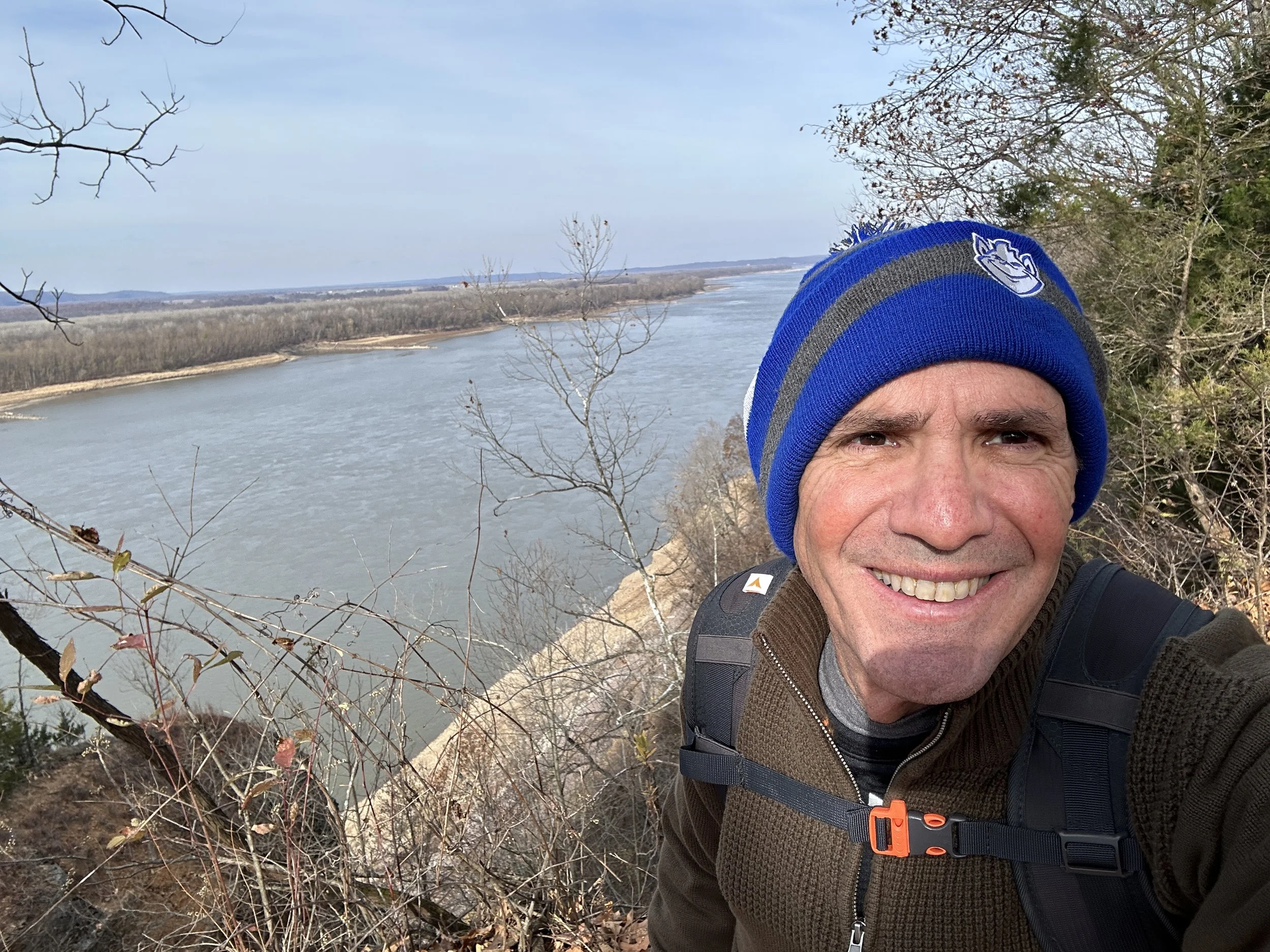
During the hike I was able to capture some excellent pictures of the Mississippi and the bottomlands of the park. This was the first Missouri hike where I encountered Equestrian’s. There was a group of 12-15 people riding horseback on the trail. They were the only people on the trail, but it was nice to see the horses taking a stroll on the trail.
The hiking trails on the Peewah trail were mostly dirt based paths and easy to hike. There were significant elevation gains on the hike and you traverse between ridge lines and hike out of the bottomlands. According to my Apple Watch the elevation gain was 1,422. This was a great hike with beautiful views of the Mississippi River, buffs and bottomland. I plan to return next spring to view wildflowers that populate the bottomland.