Acadia National Park and Baxter State Park, Maine
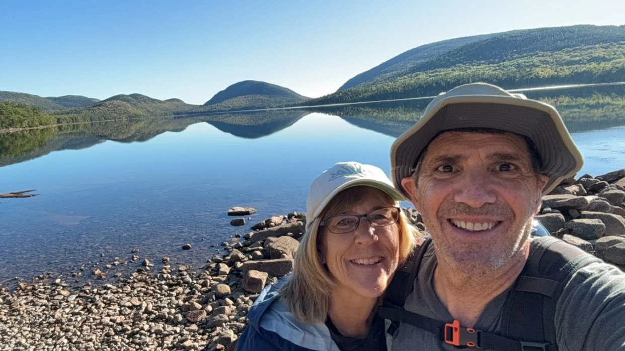
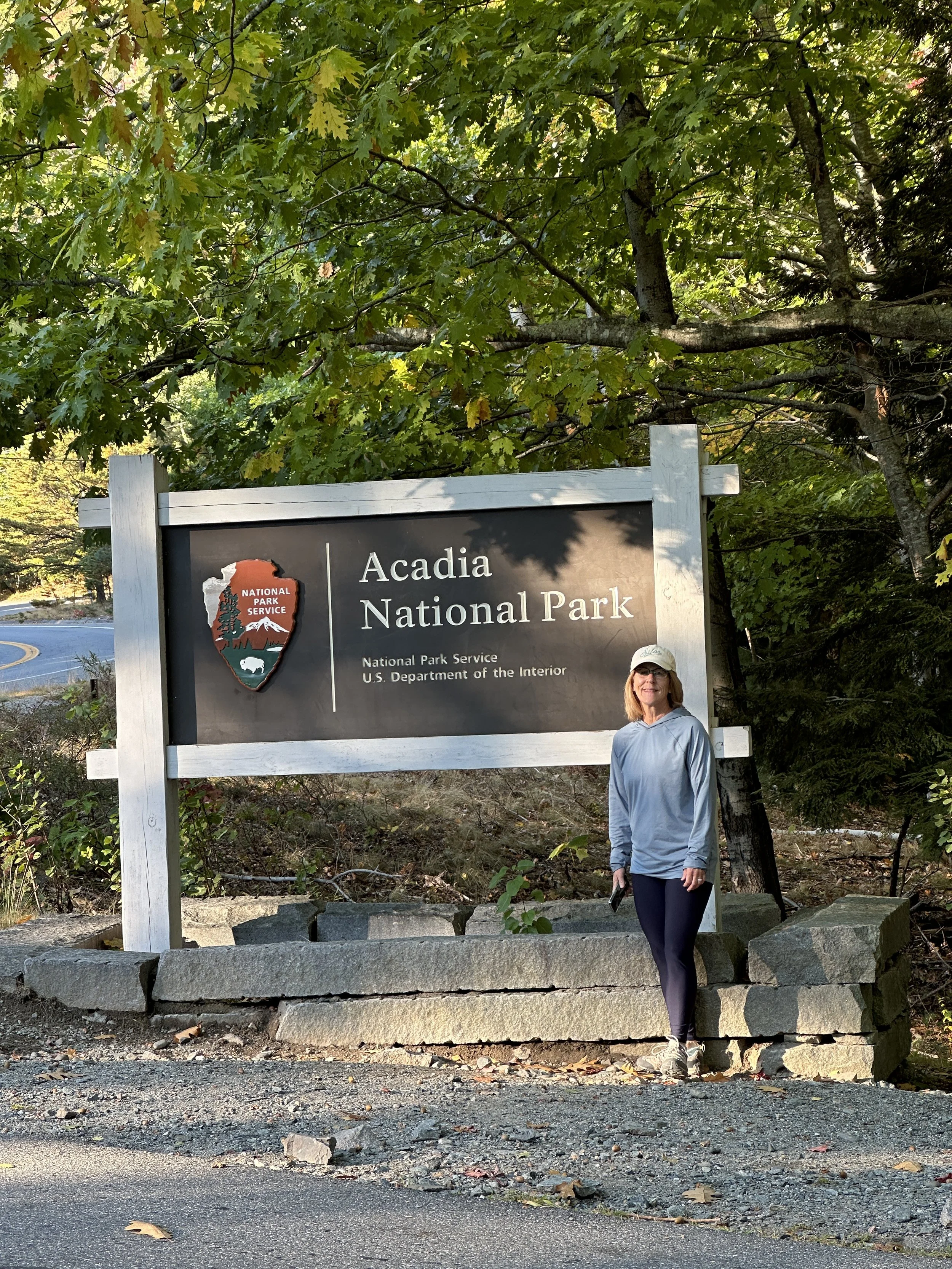
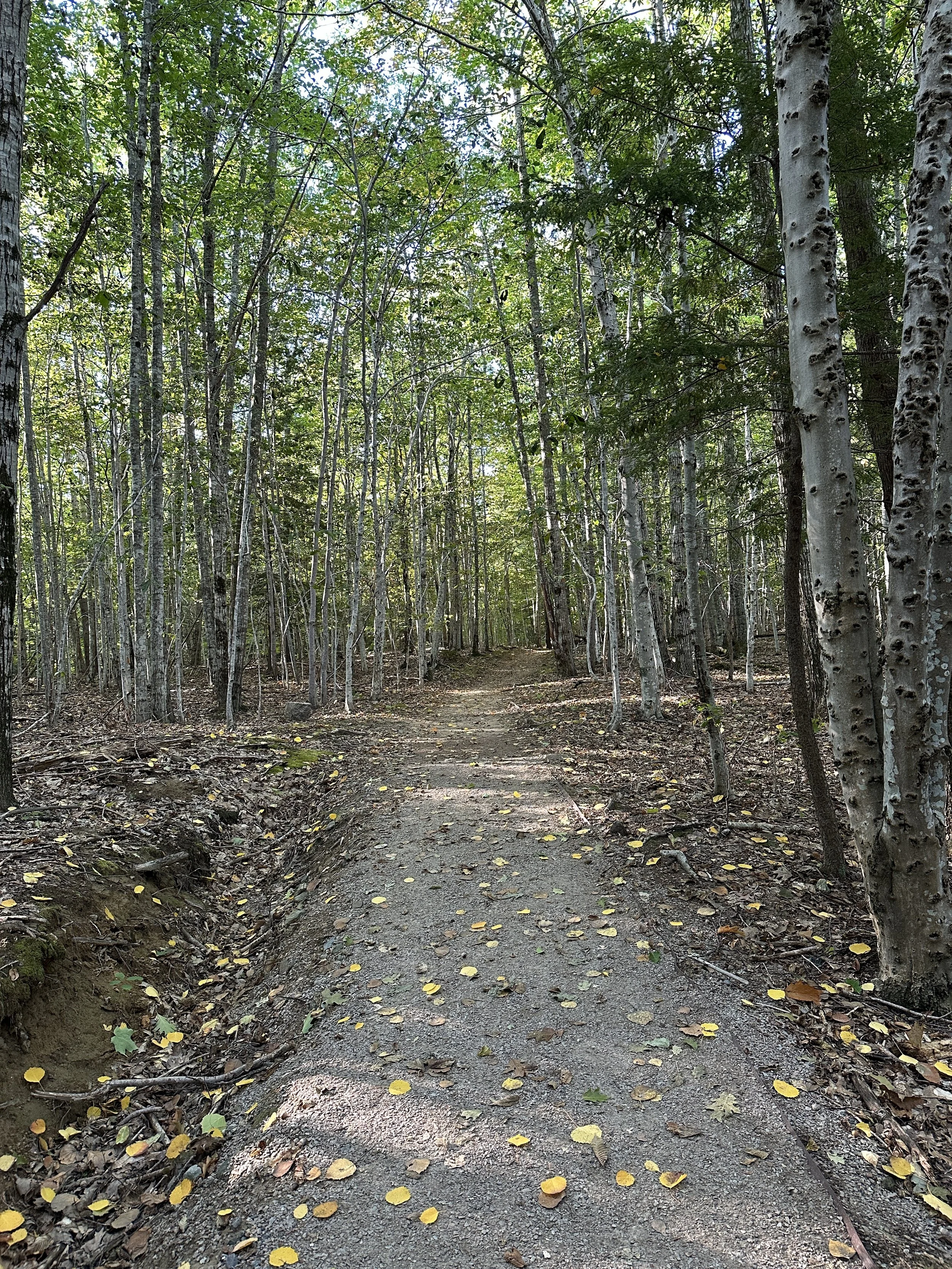
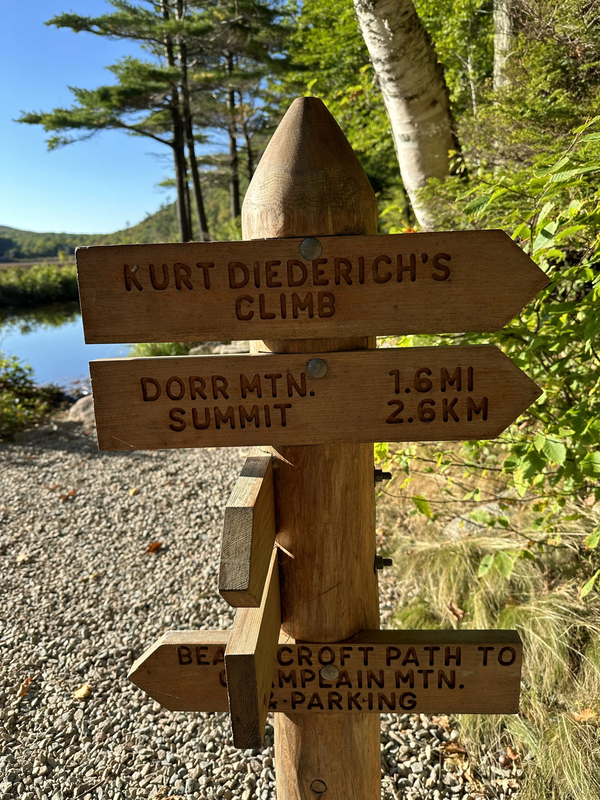
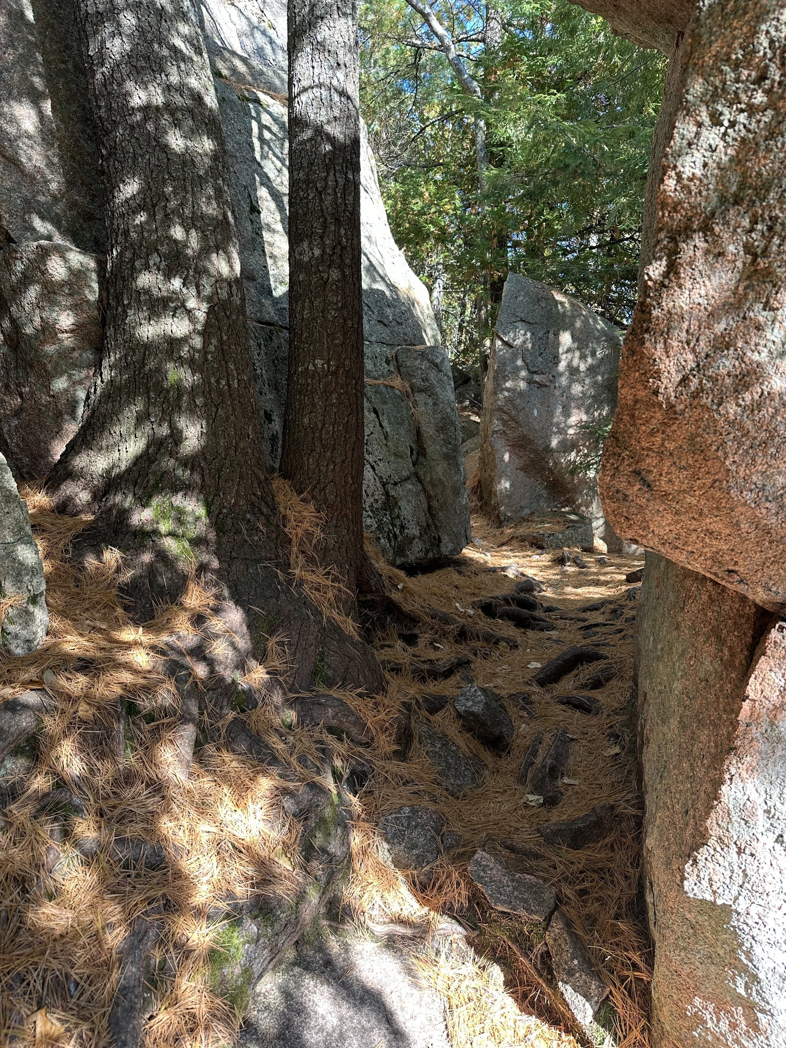
Starting out on our Hike from Eagle Lake to Jordan Pond
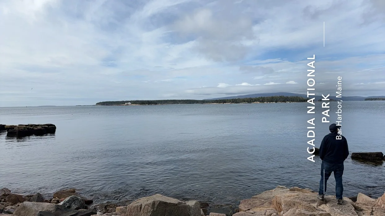
Acadia National Park is home to some of the most beautiful landscapes on the Eastern Seaboard. Most of the park is located on Maine’s Mount Desert Island coast with an area of 47,000 acres to hike, climb and explore. There are portions of the park on the Schoodic Peninsula and Isle of Haut. There are 4 million visitors per year to Acadia National Park and its one of the top 10 most visited National Parks. With 27 miles of scenic roads, 158 miles of hiking trails and 45 miles of carriage roads there is plenty of places to explore.
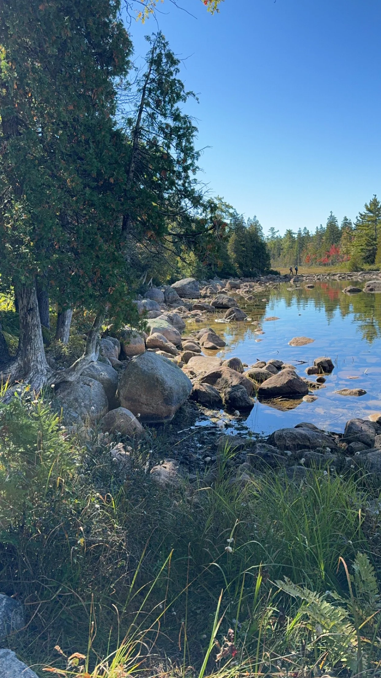
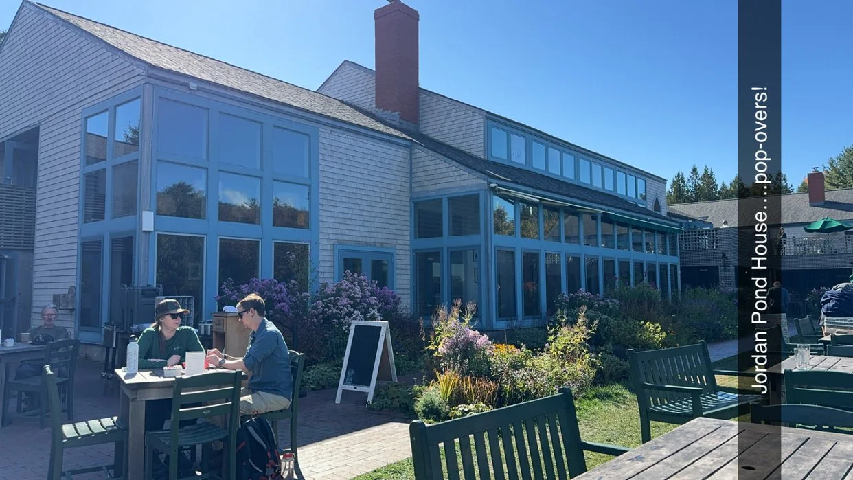
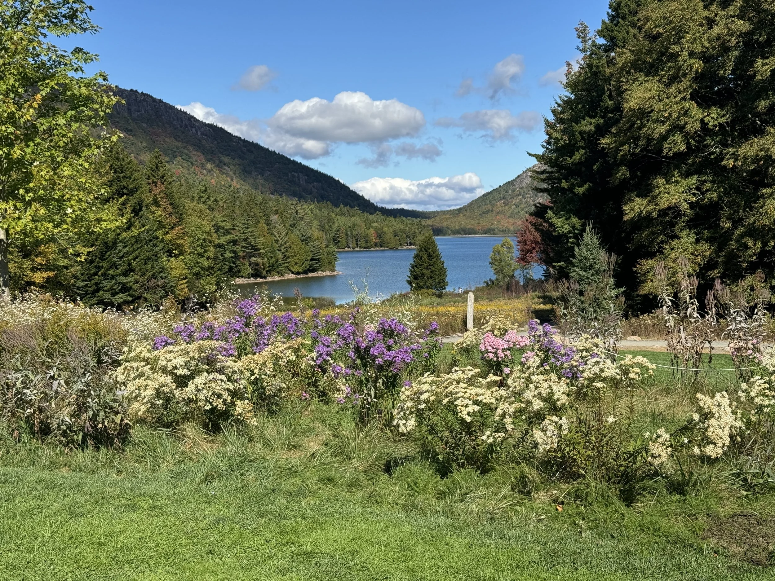
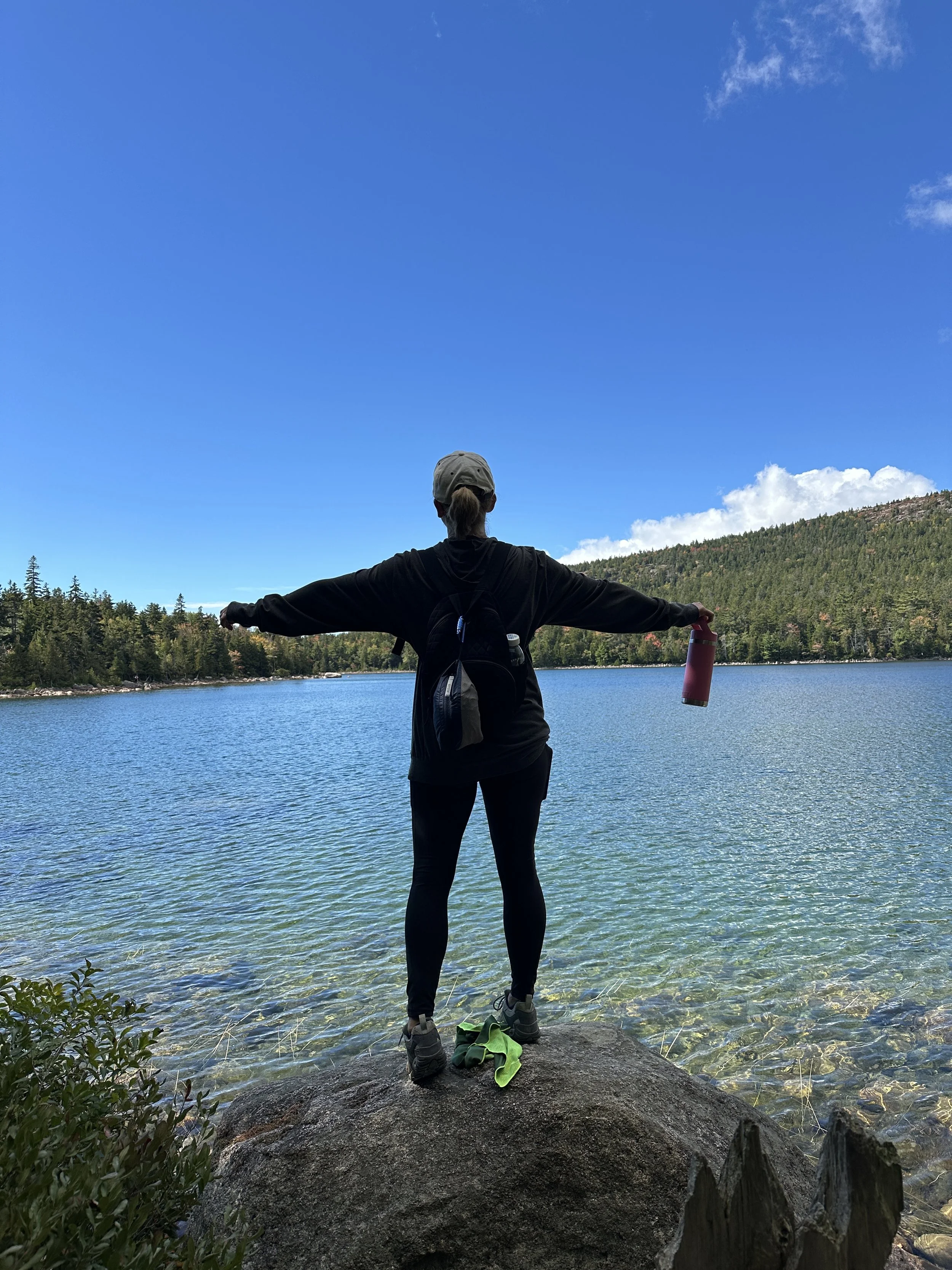
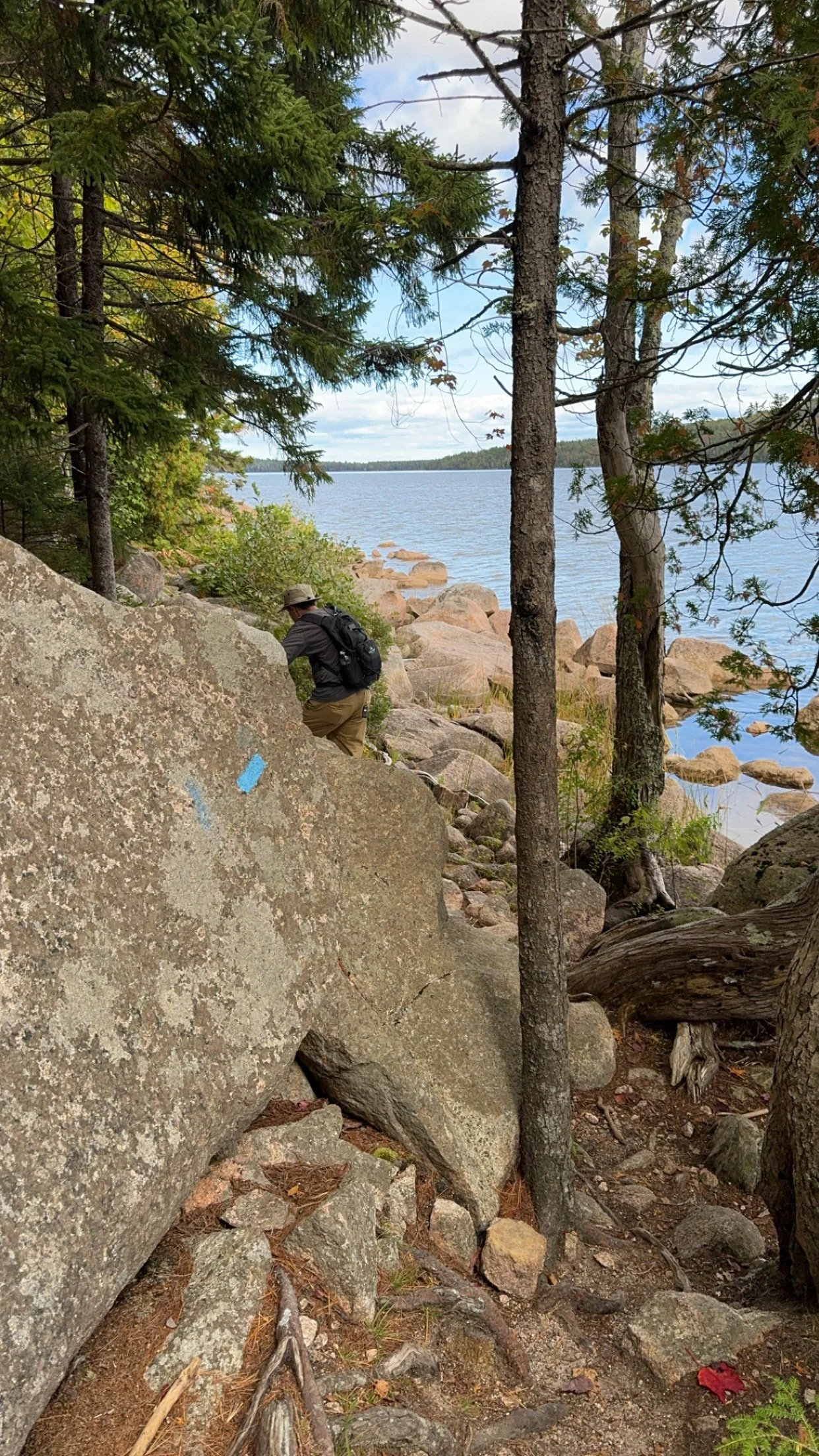
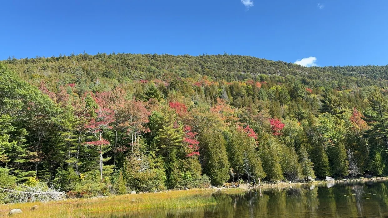
Our 5 days in Acadia started out with some hiking. We started at the Eagle Lake Boat Ramp and hiked around Eagle Lake using the Carriage Roads. The trees were turning colors and it was so nice to see the Lake and colorful trees as we hiked down the gravel road. At the end of Eagle Lake, we picked up the Jordon Pond trail and hiked around Jordan Pond to the Jordan Pond House and then, ordered their famous Popovers. This hike was an out and back so the total round trip distance was 10 miles.
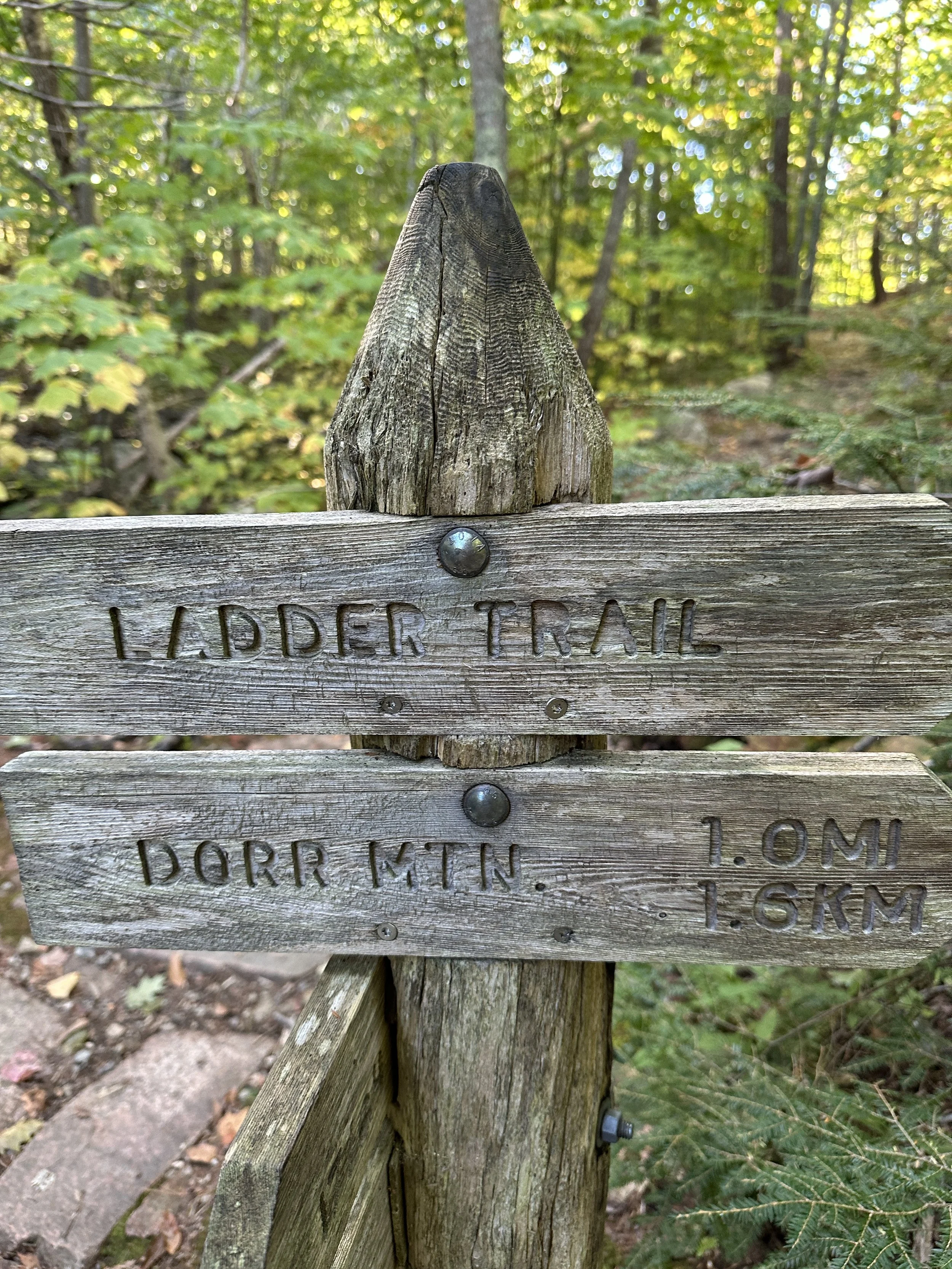
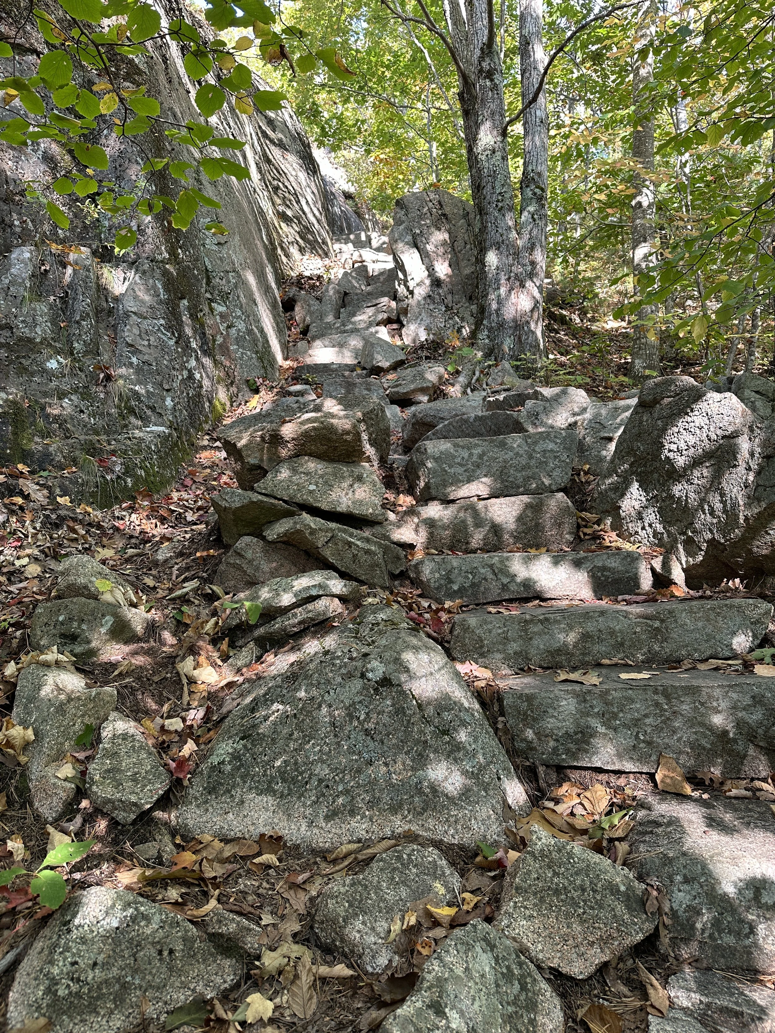
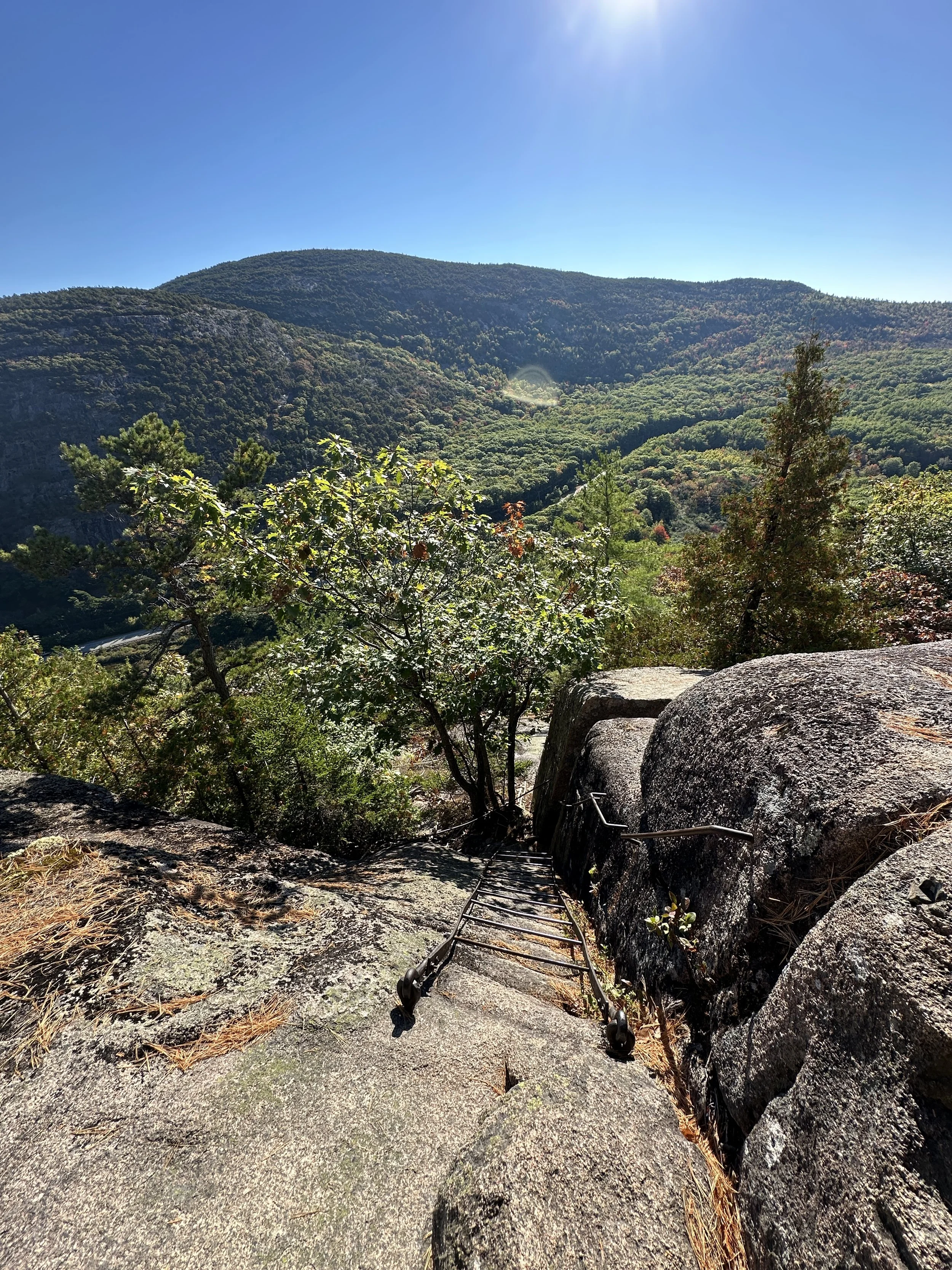
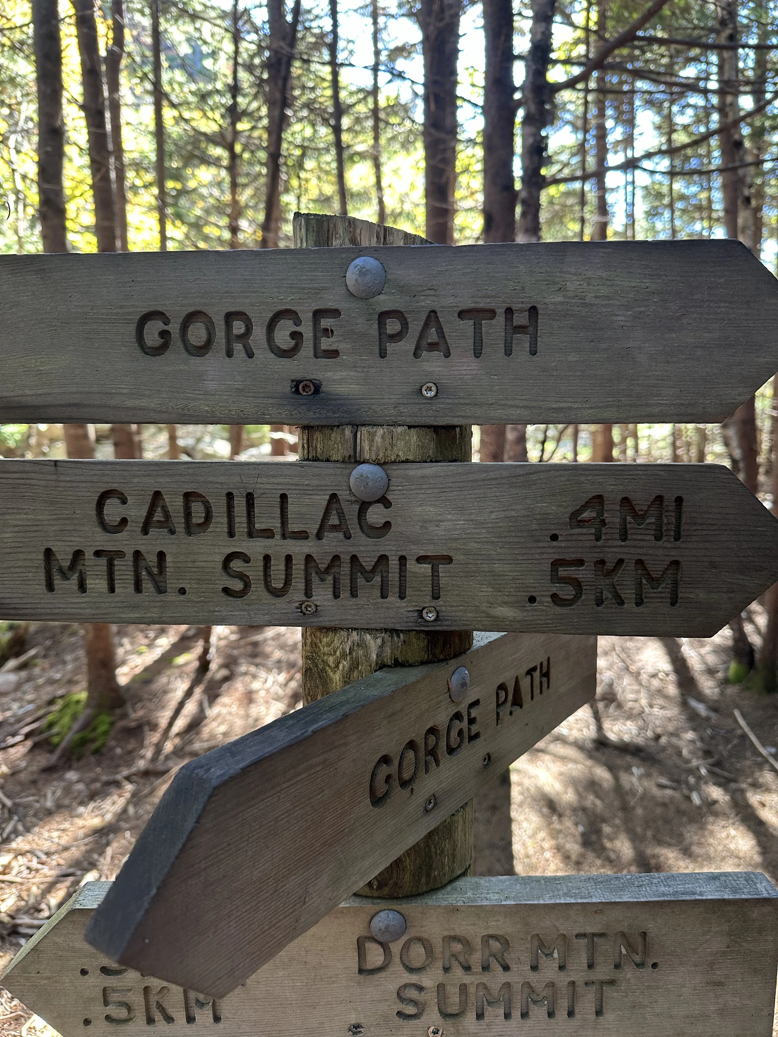
The next day was challenging. We parked at Sieur De Monts and hiked to The Tarn, which was a lovely little hike and The Tarn looked full of life. The end of that hike lead us to the Ladder Trail and up to the peak of Dorr Mountain. The Ladder Trail is steep with 90% of the trail comprised of granite steps. The elevation gain to the peak is 1,100 feet and the trail is straight up with a combination of granite steps and iron ladders anchored into the granite. The views from the top of Dorr Mountain are nice for sure.
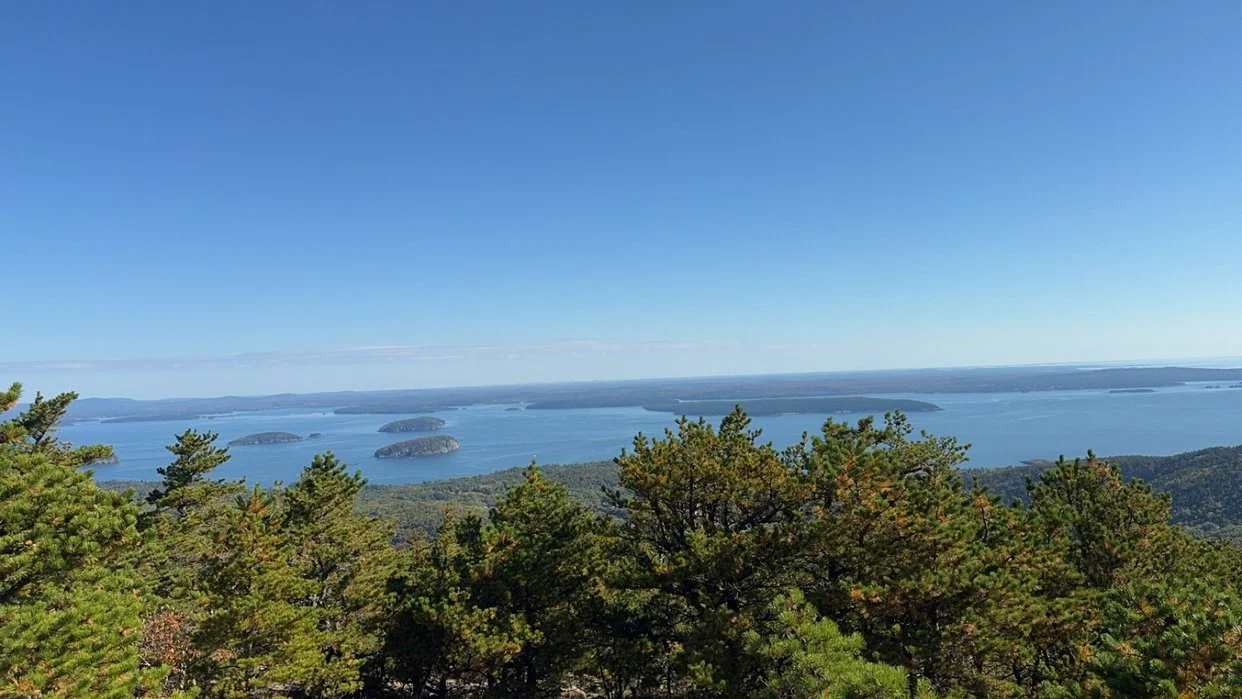
We did not stay long at the peak of Dorr Mountain and hiked down into the canyon between Dorr Mountain and Cadillac Mountain. As far as decents, it was an easy trek to the bottom. The accent from the canyon to the top of Cadillac Mountain was 1,500 feet of elevation gain. While the hike up Cadillac Mountain was somewhat steep it was not a hard hike. The views from the top of Cadillac Mountain the highest peak in the park were outstanding. Pictures and videos are uploaded below.
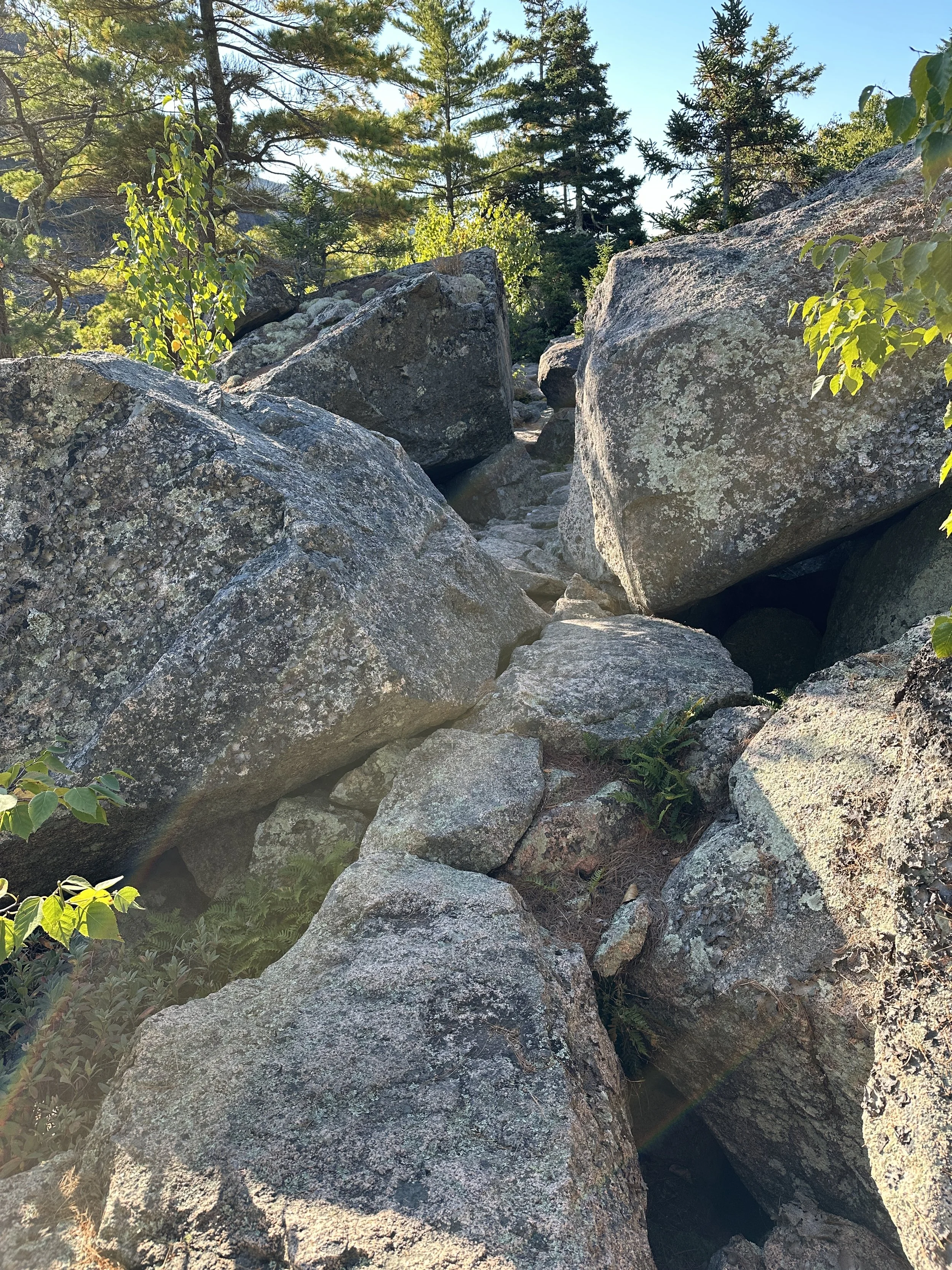
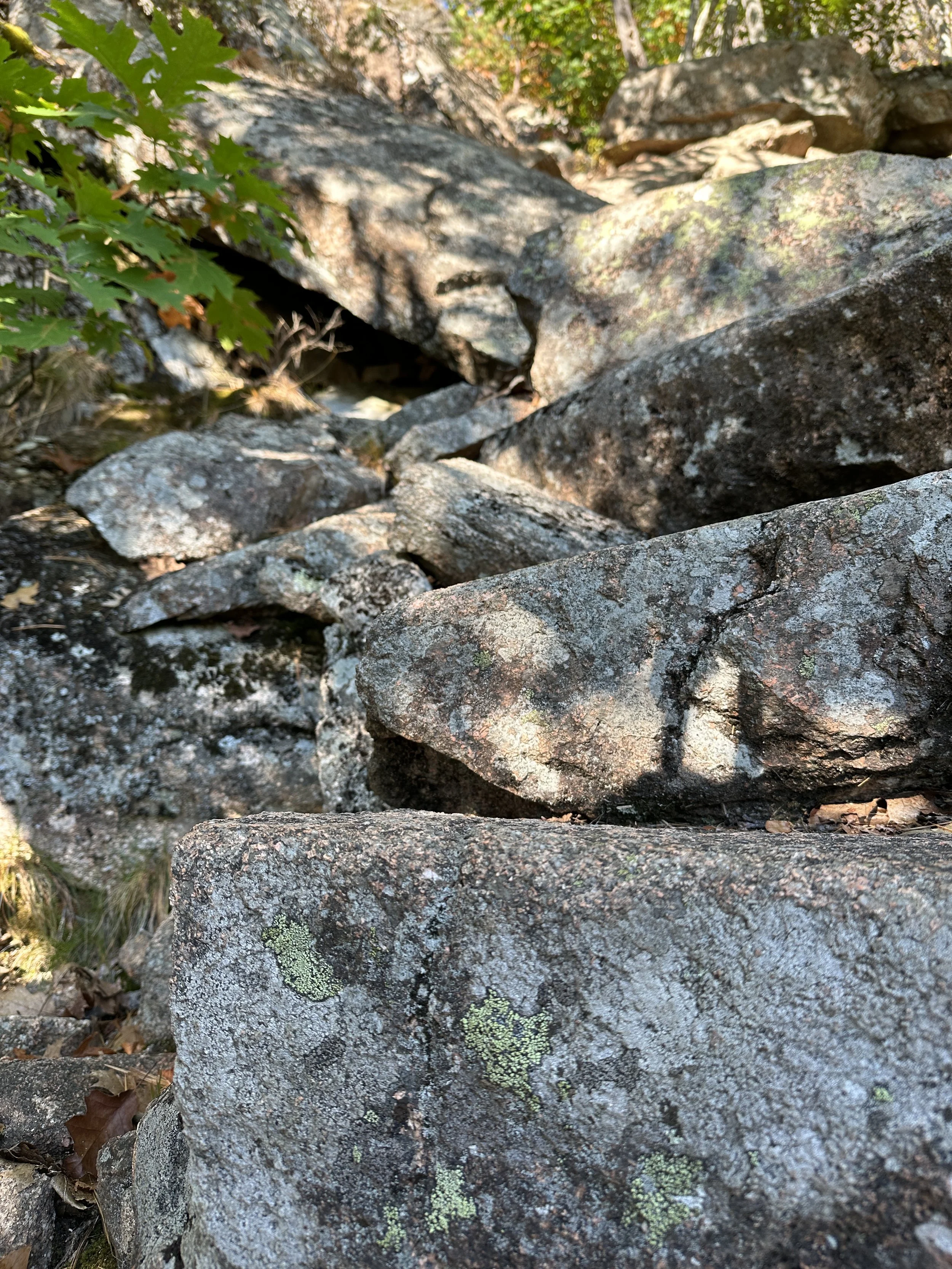
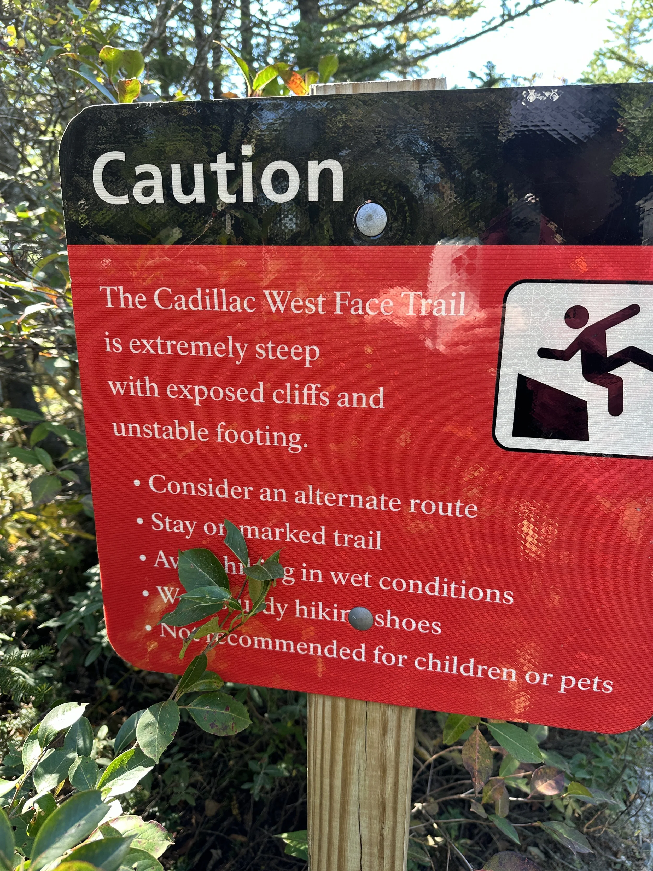
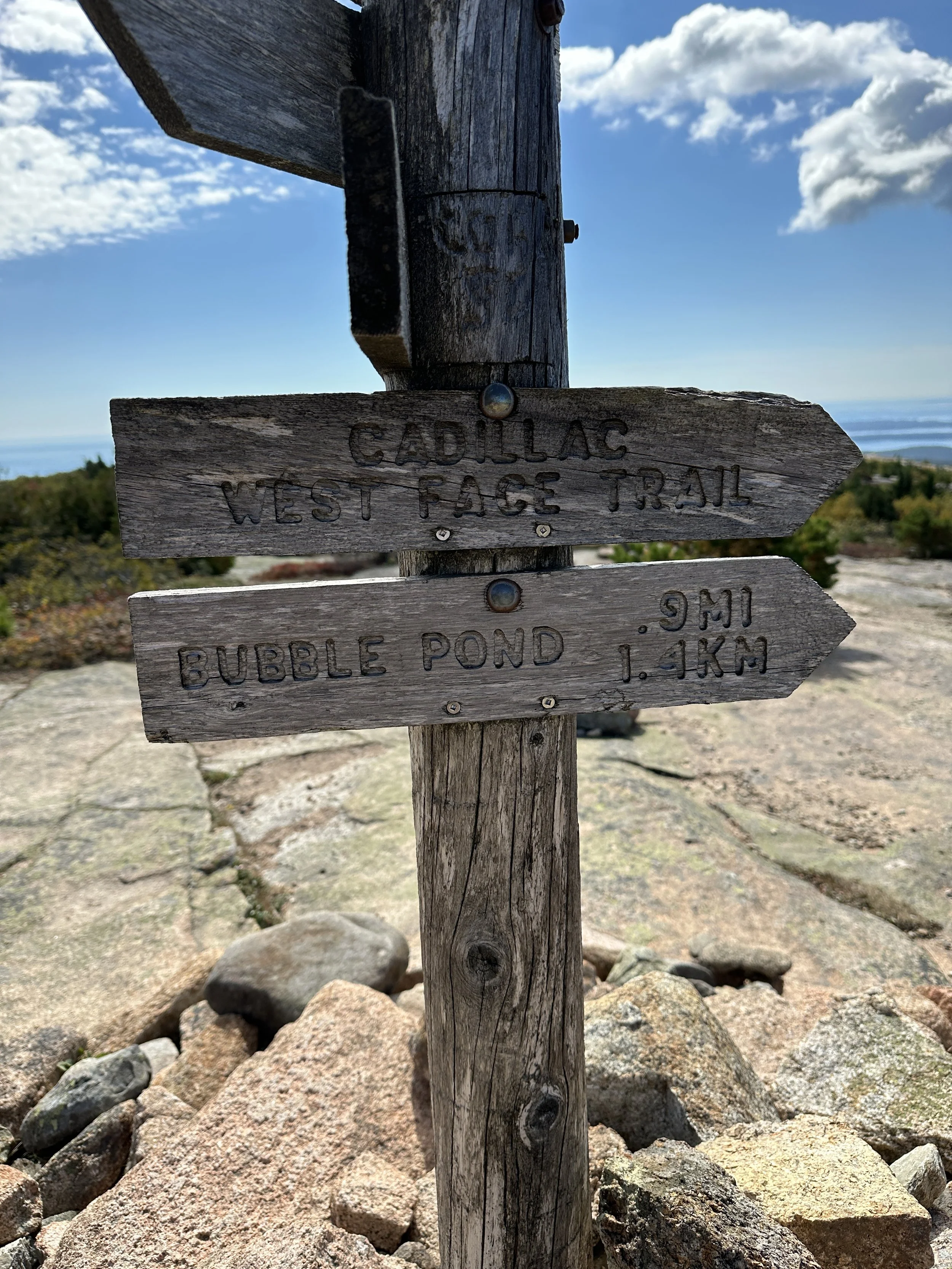
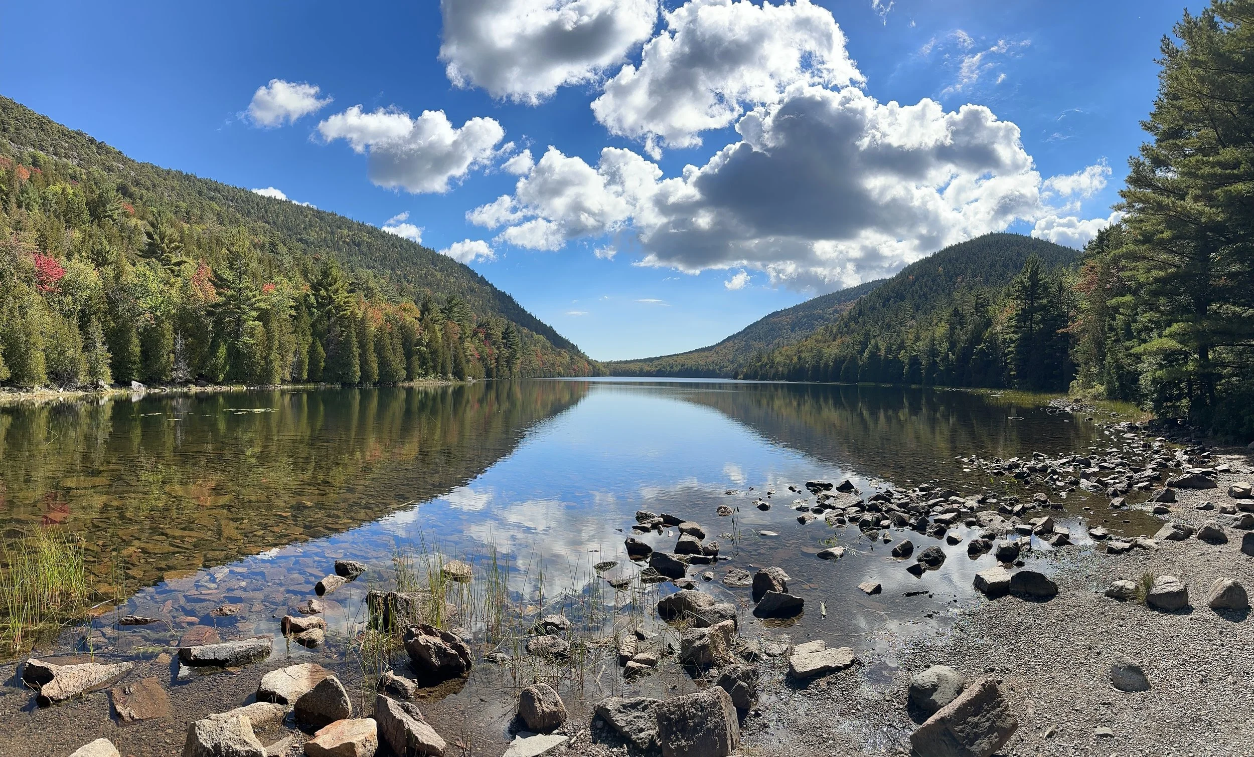
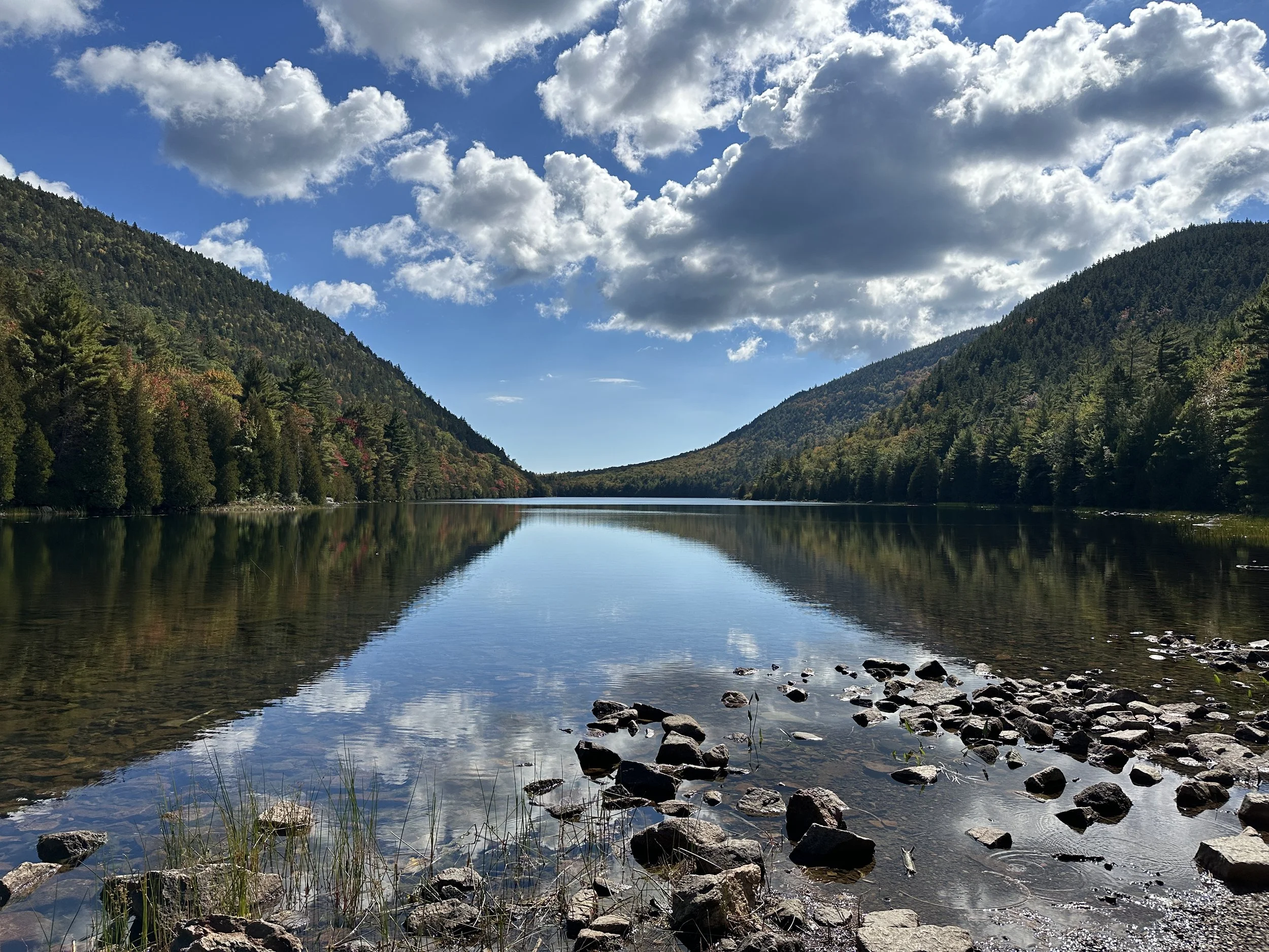
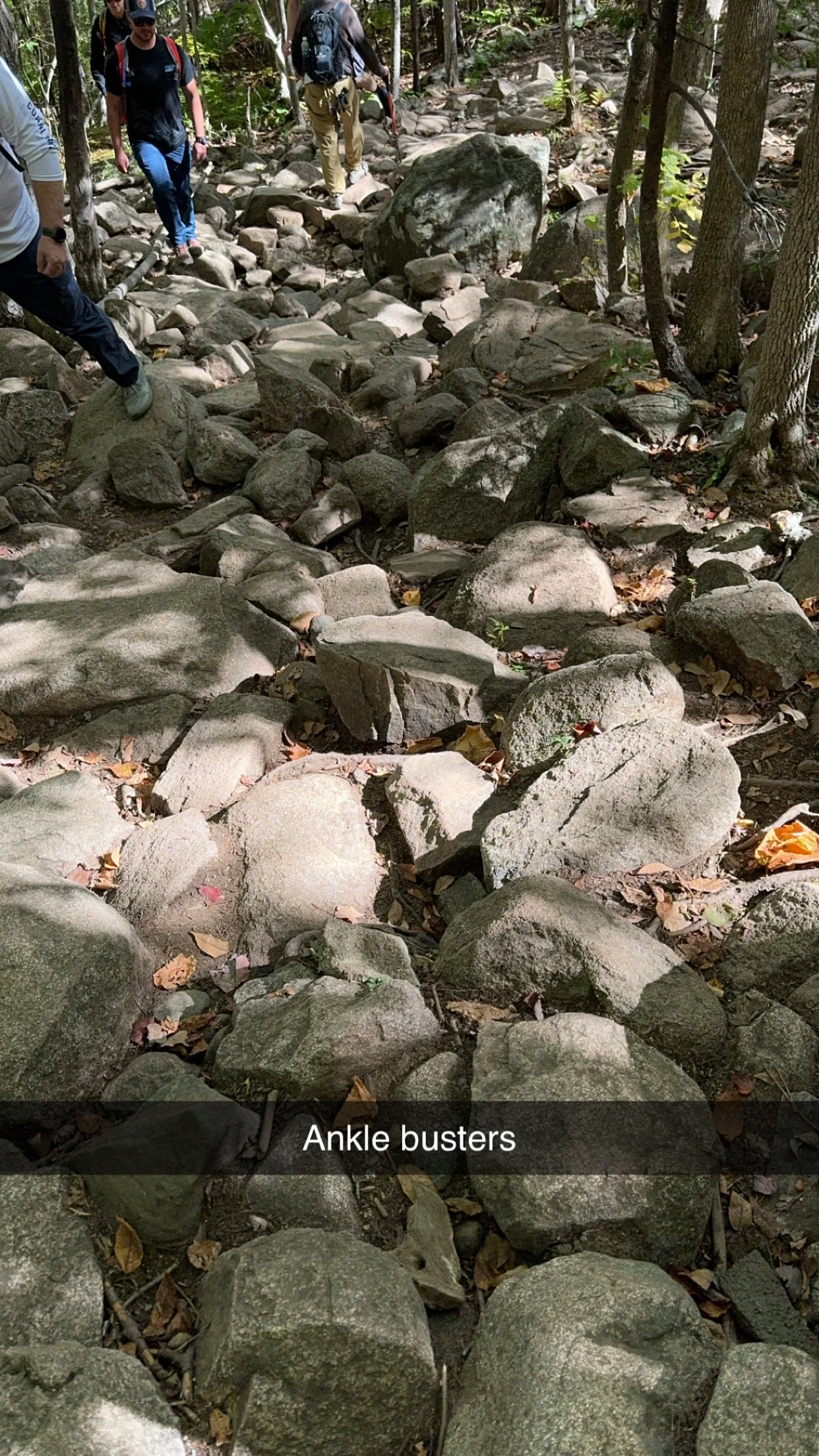
Next up was the decent via the west face of Cadillac Mountain and that was one of the hardest decents to date. Many would use the term, “cliffed out” when looking down on the “path” from the peak to Bubble Lake. The steepness of the path and topography to traverse combined to make it slow and difficult. Once we reached the bottom we ate lunch at Bubble Lake and walked to the park bus path to eventually get us back to Sieur De Months.
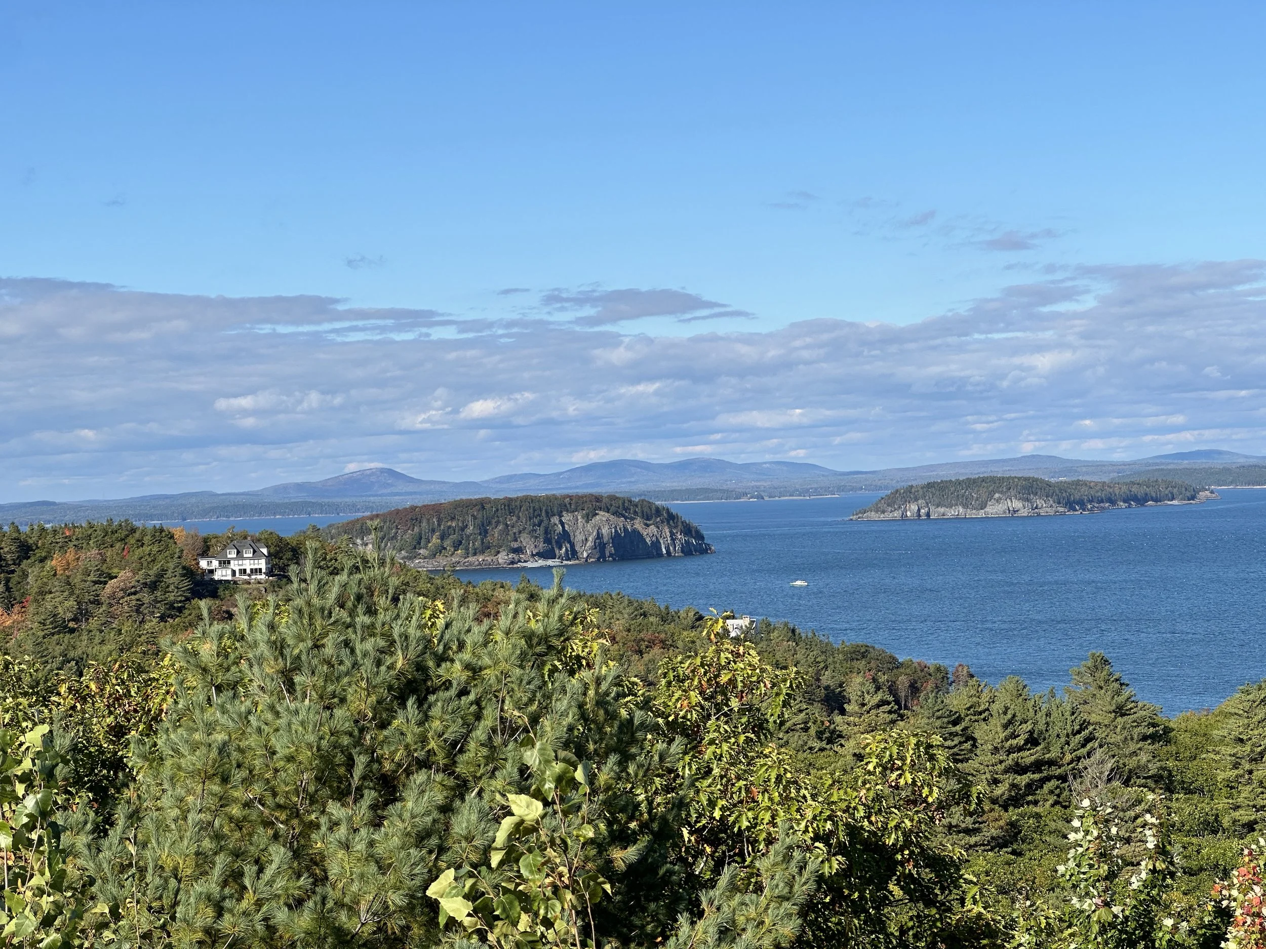
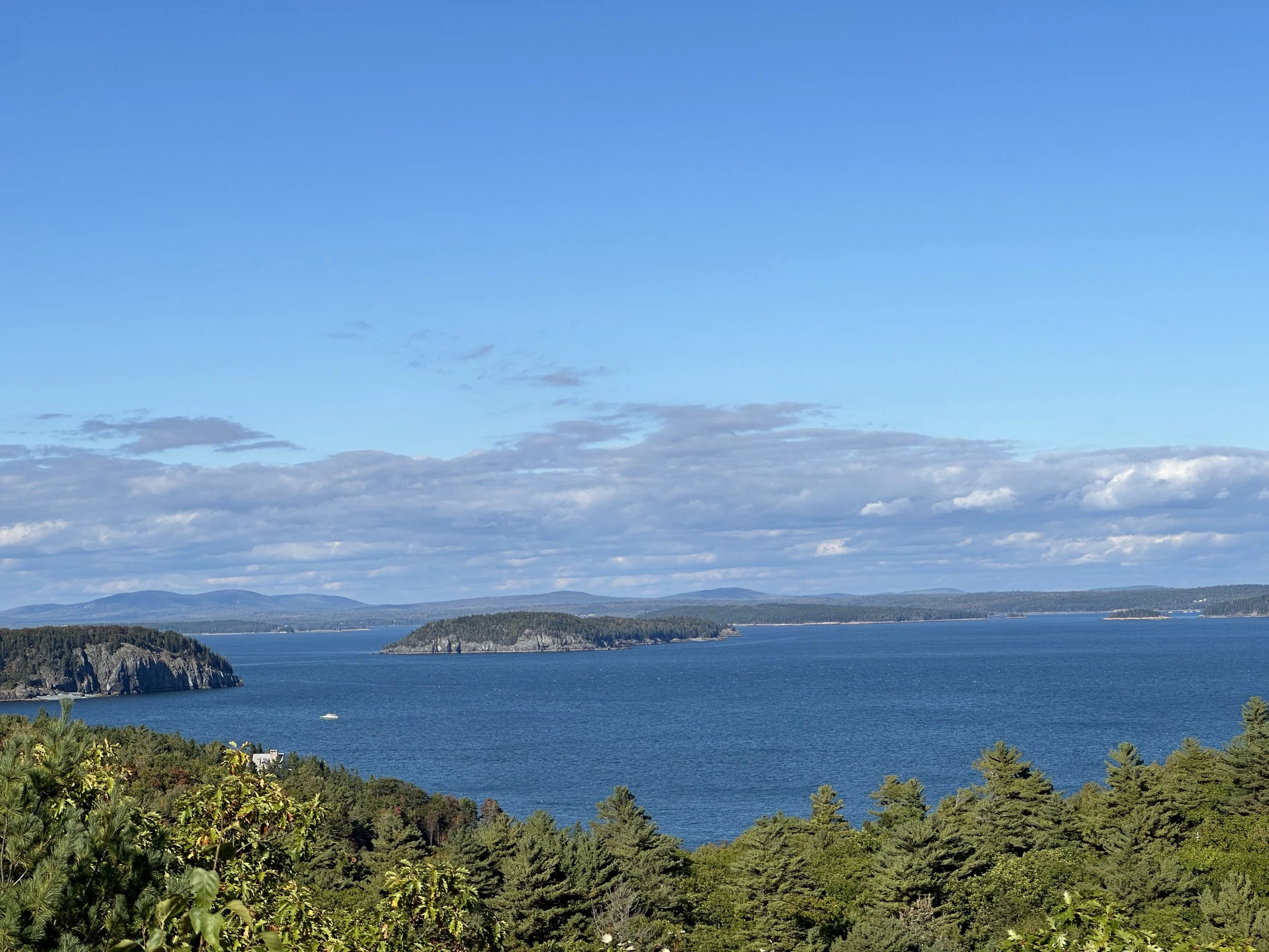
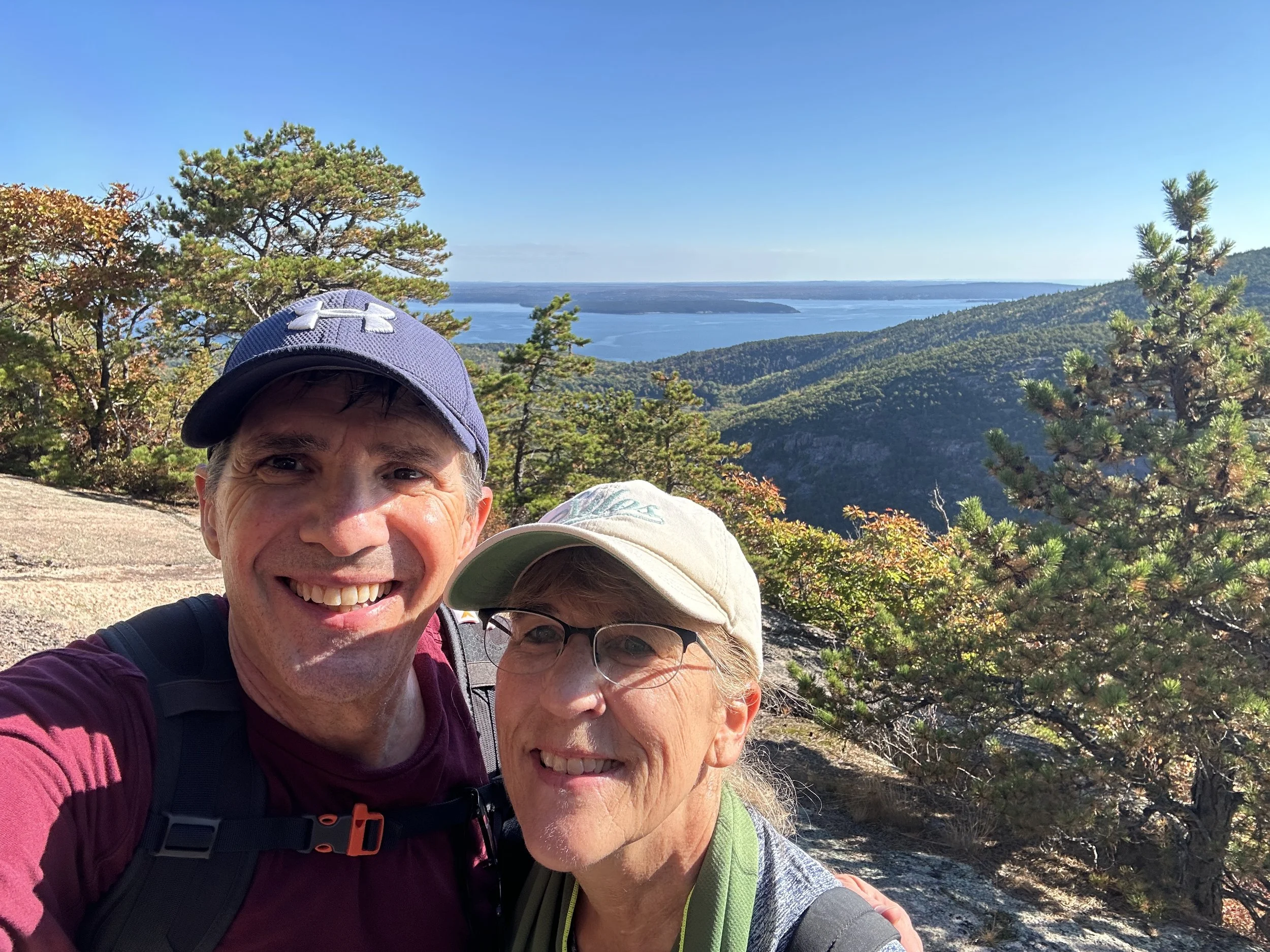
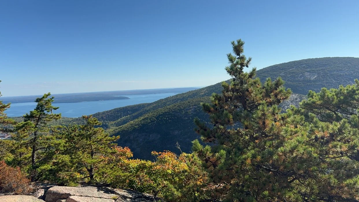
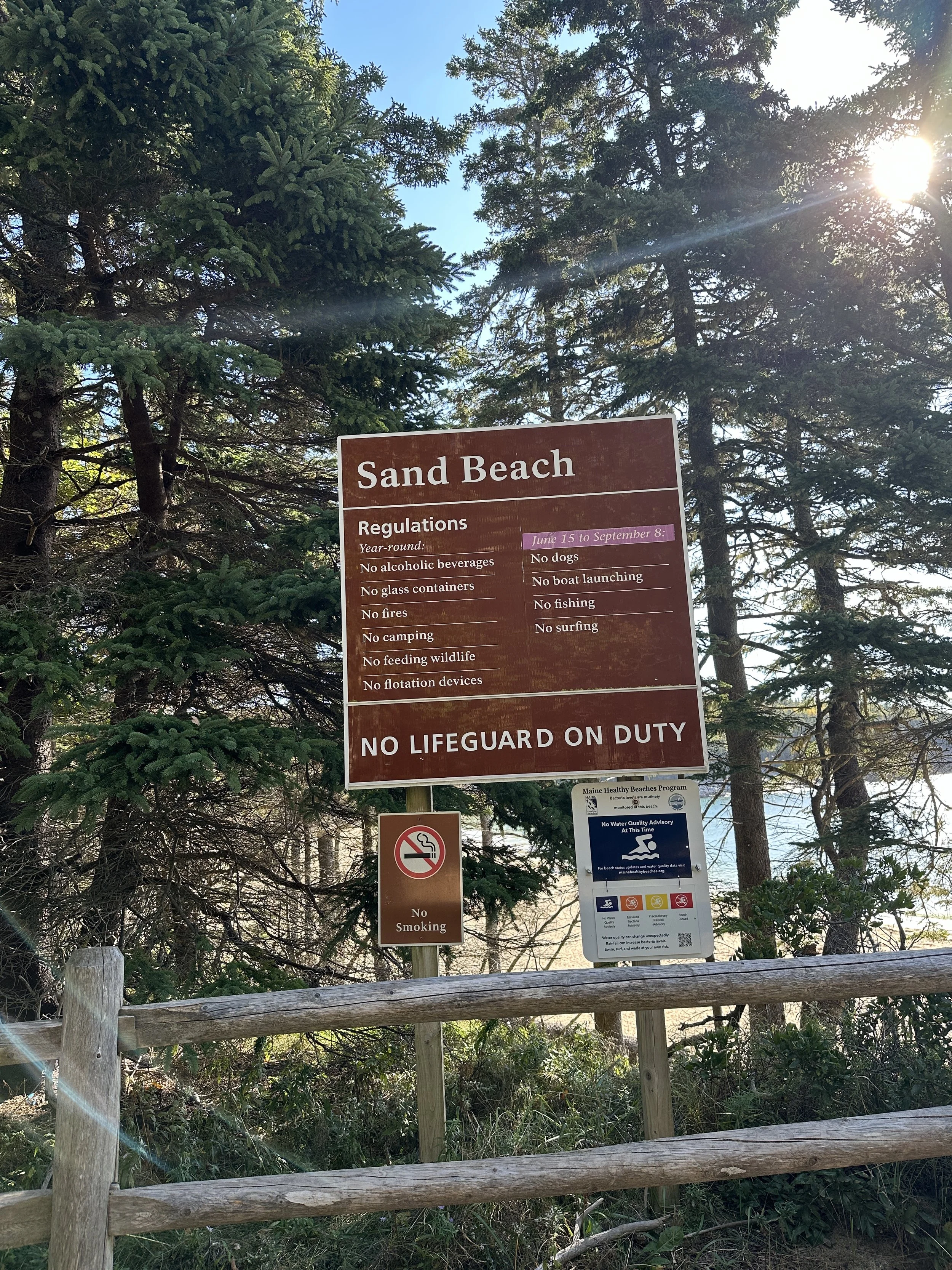
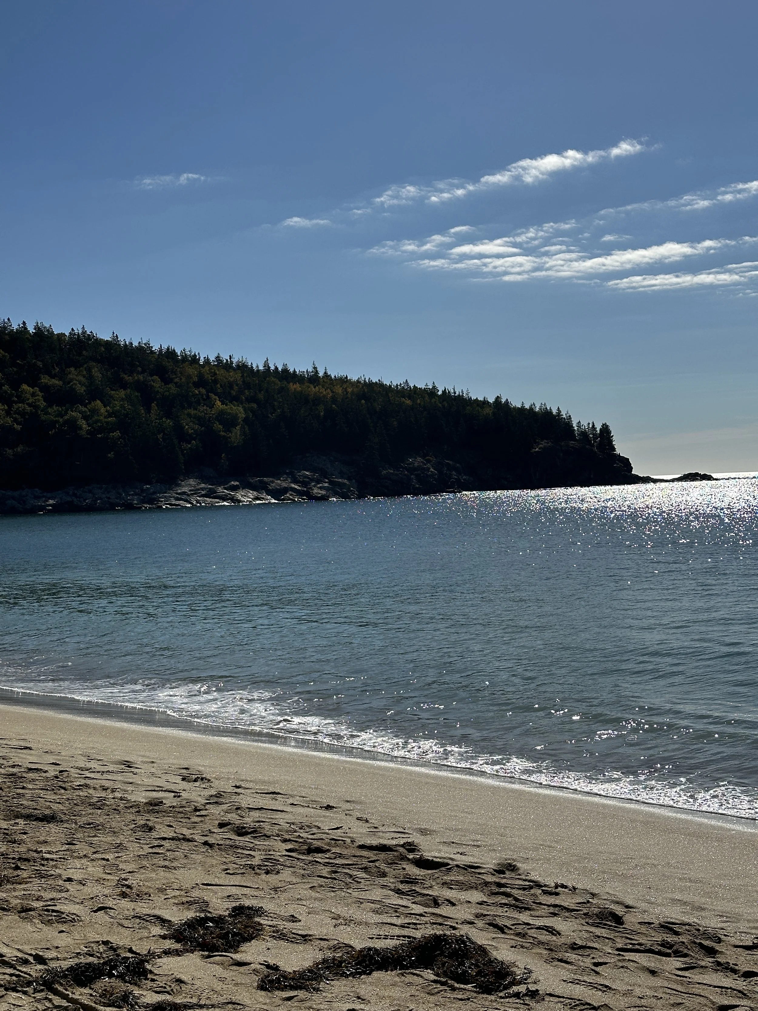
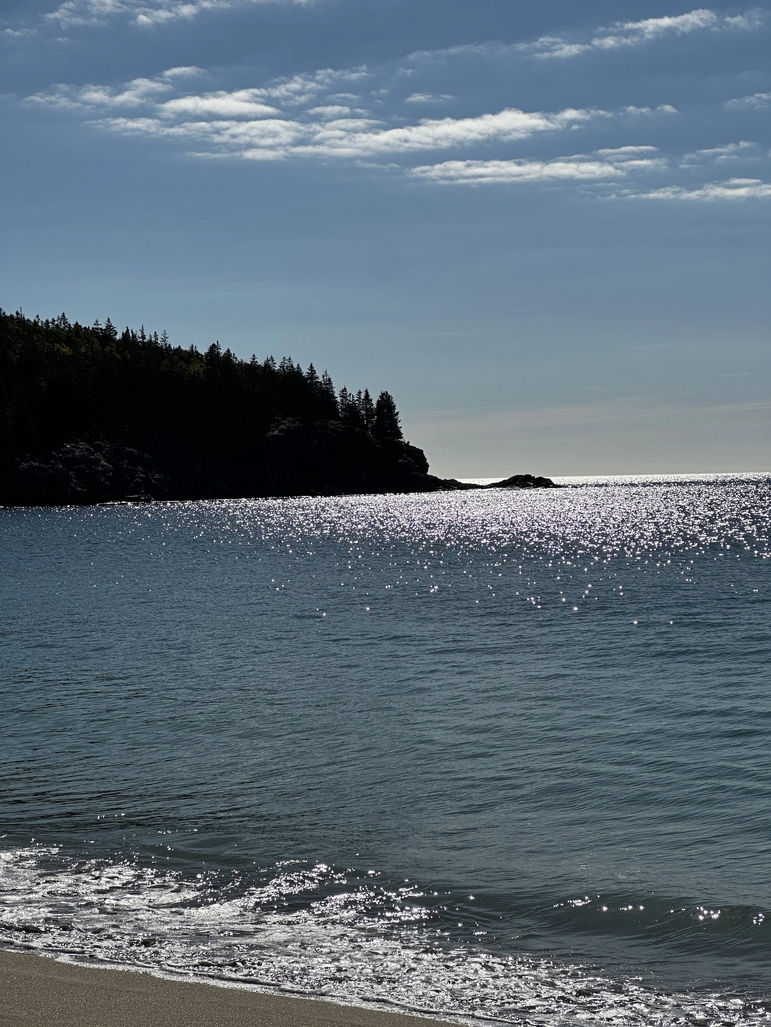
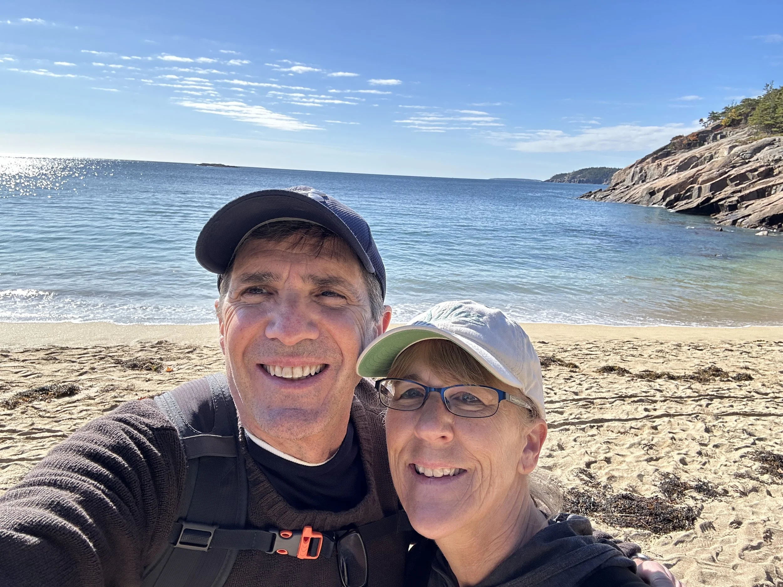
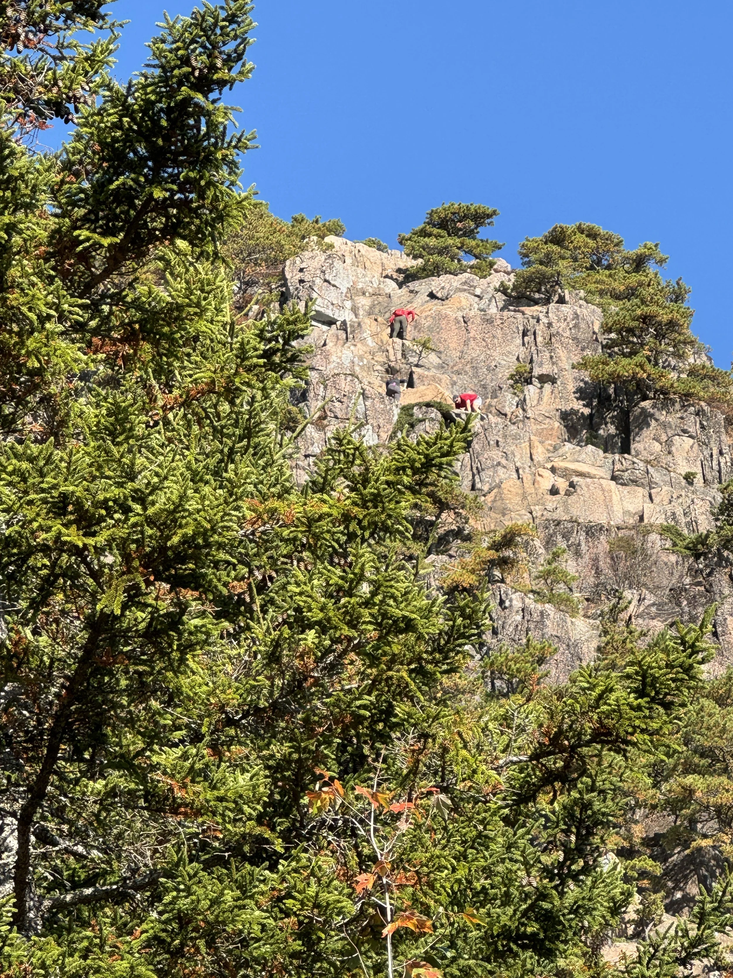
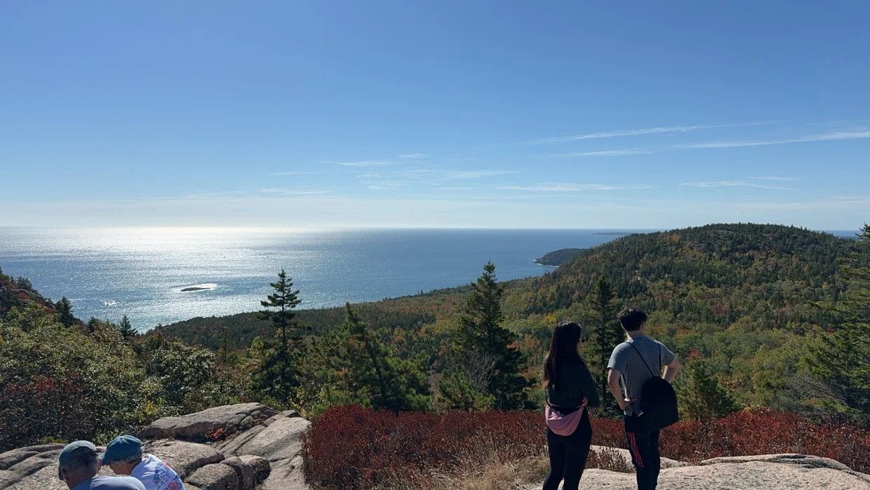
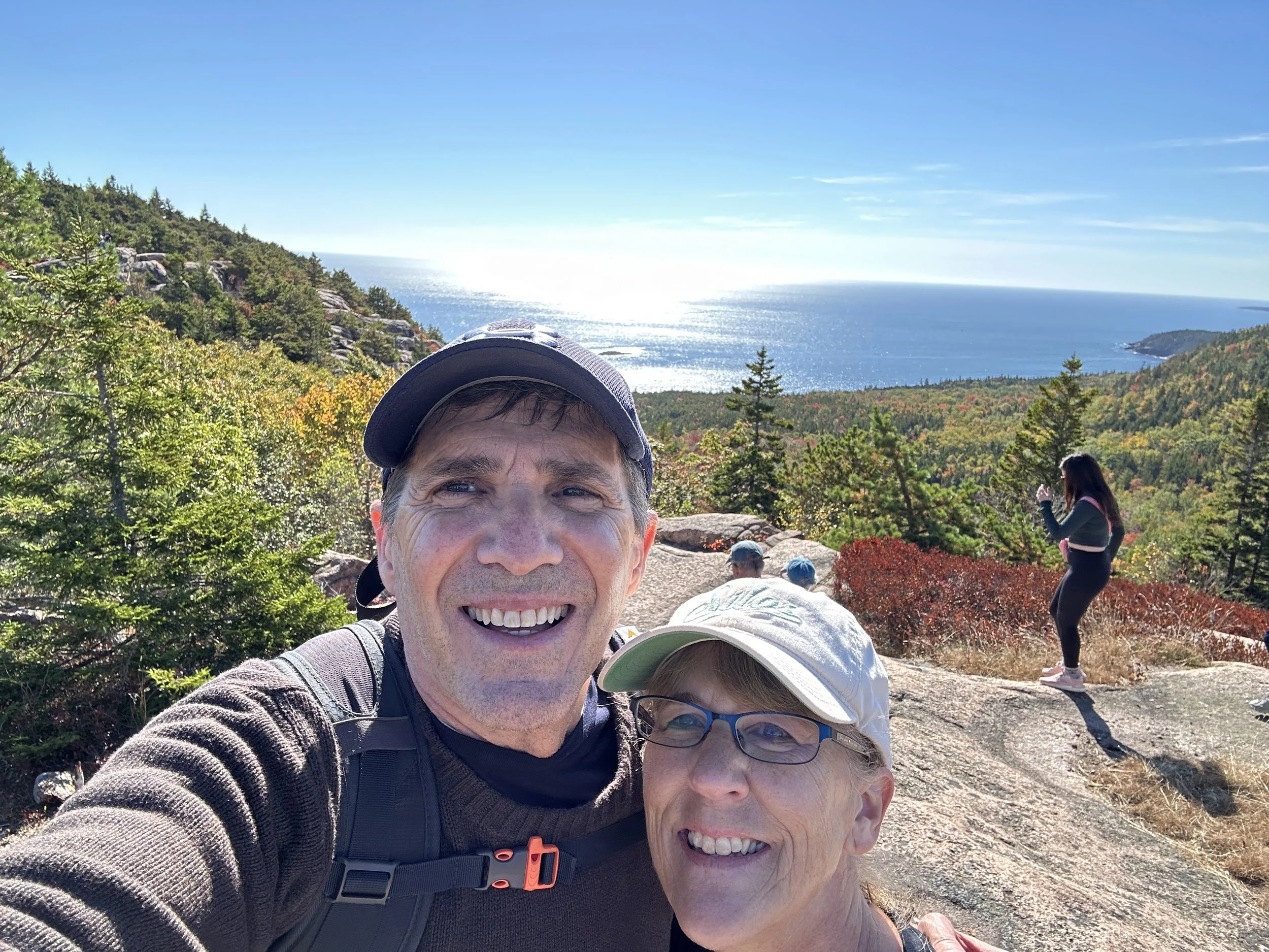
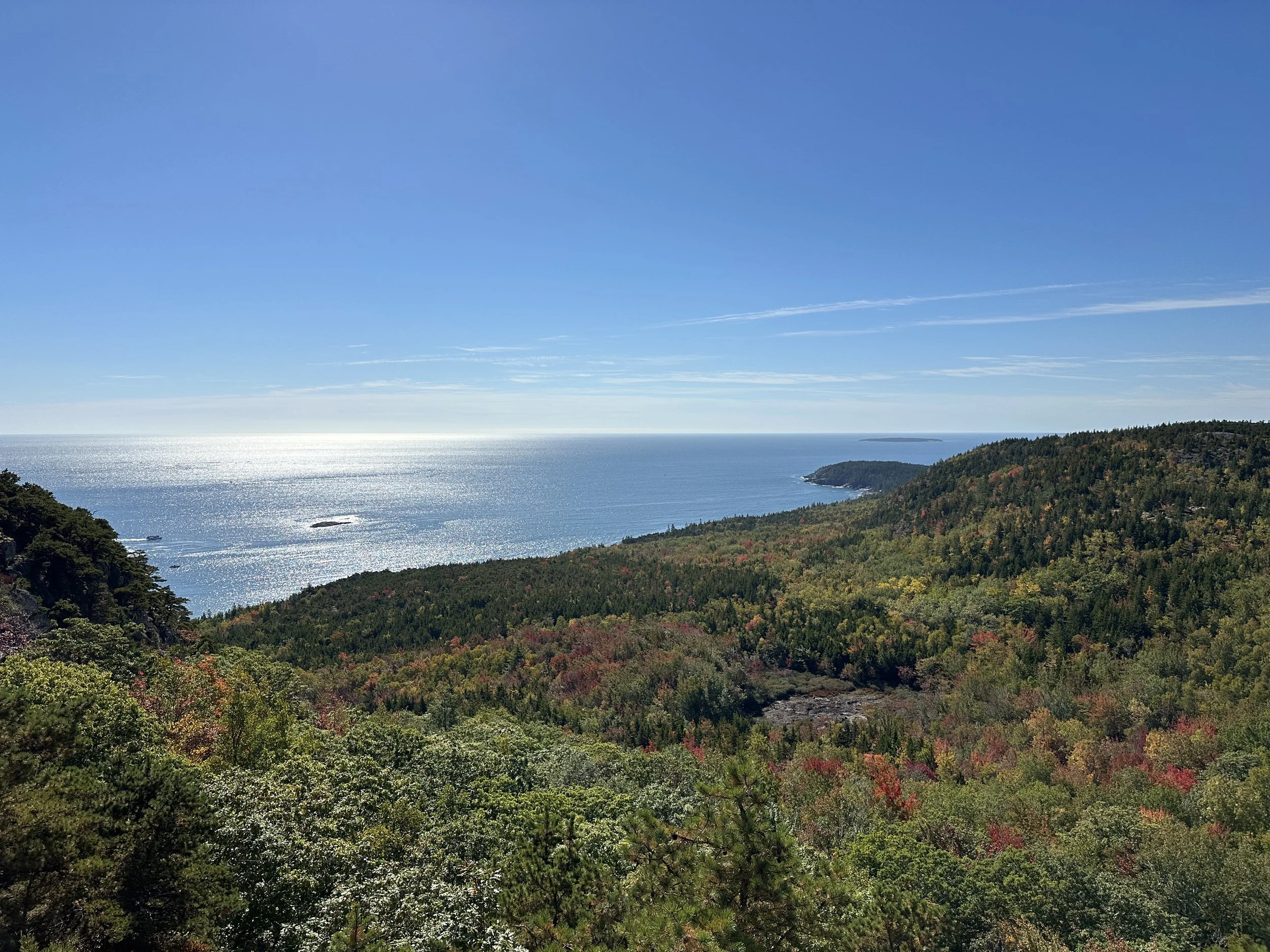
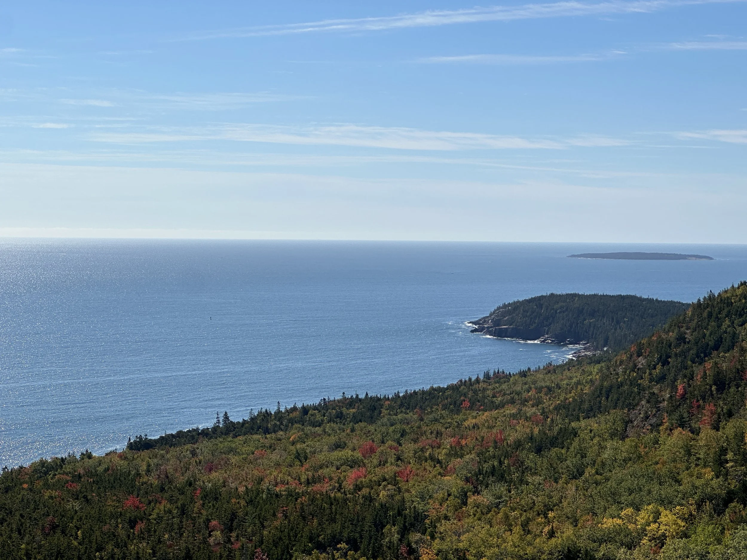
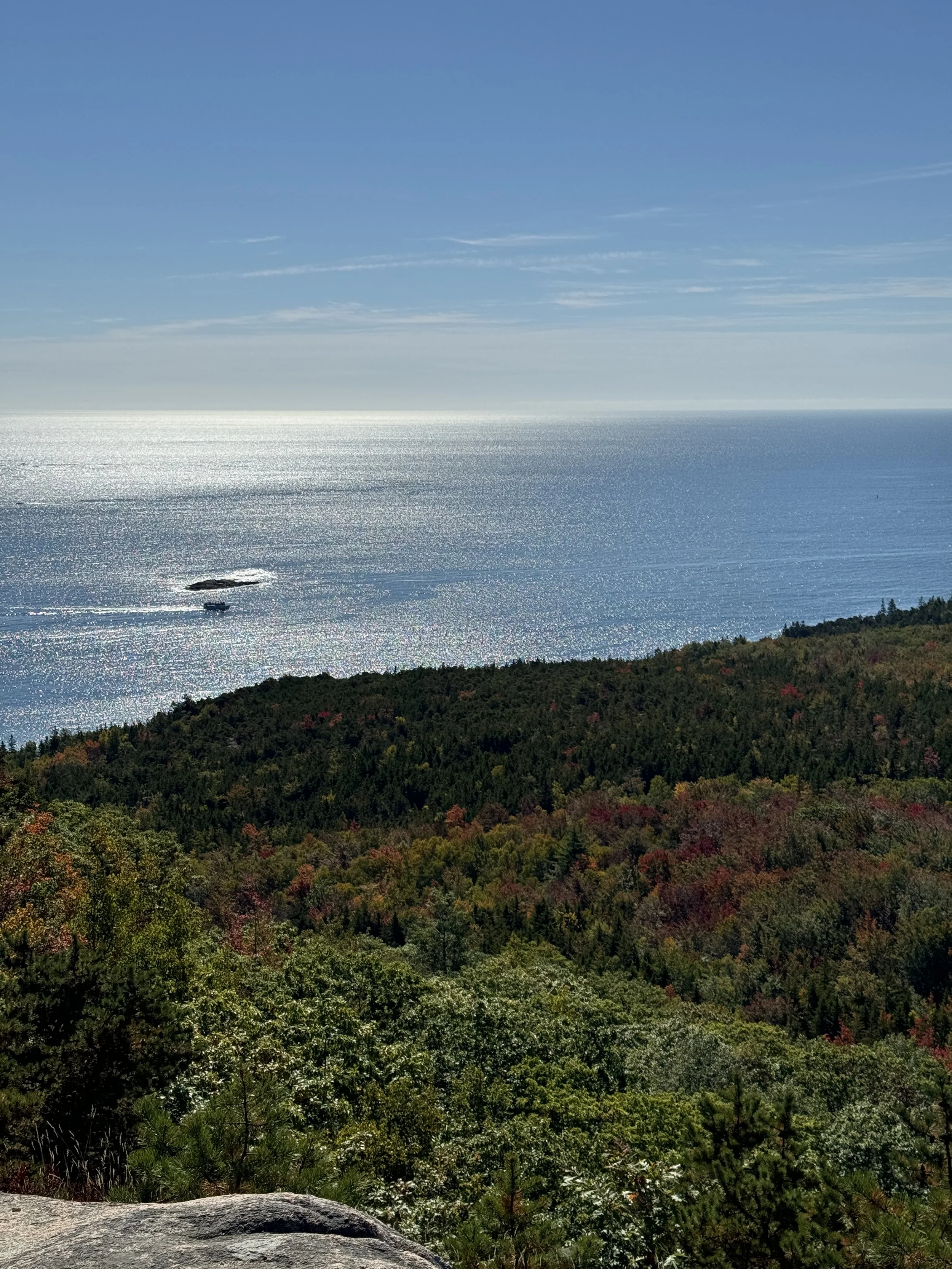
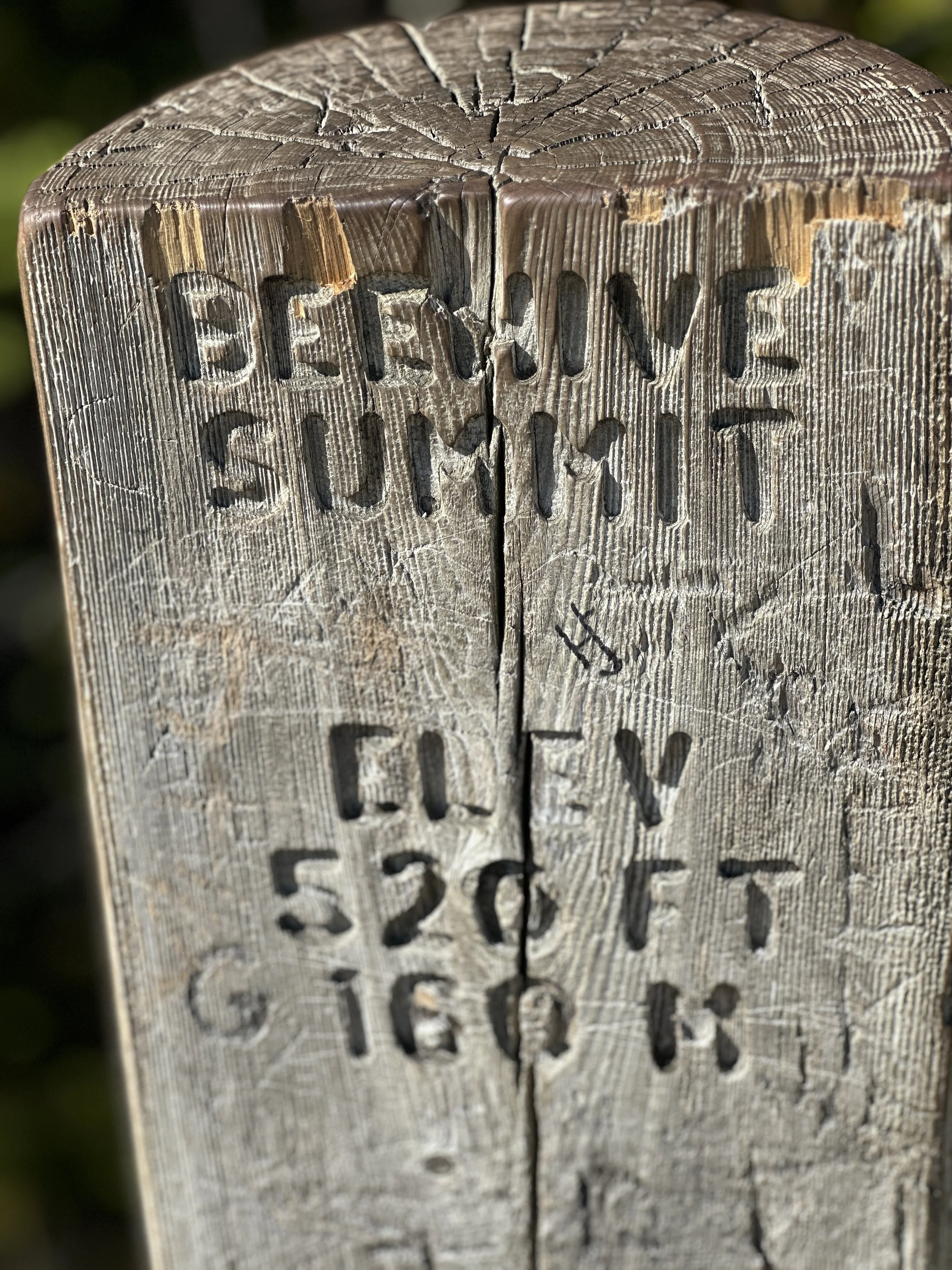
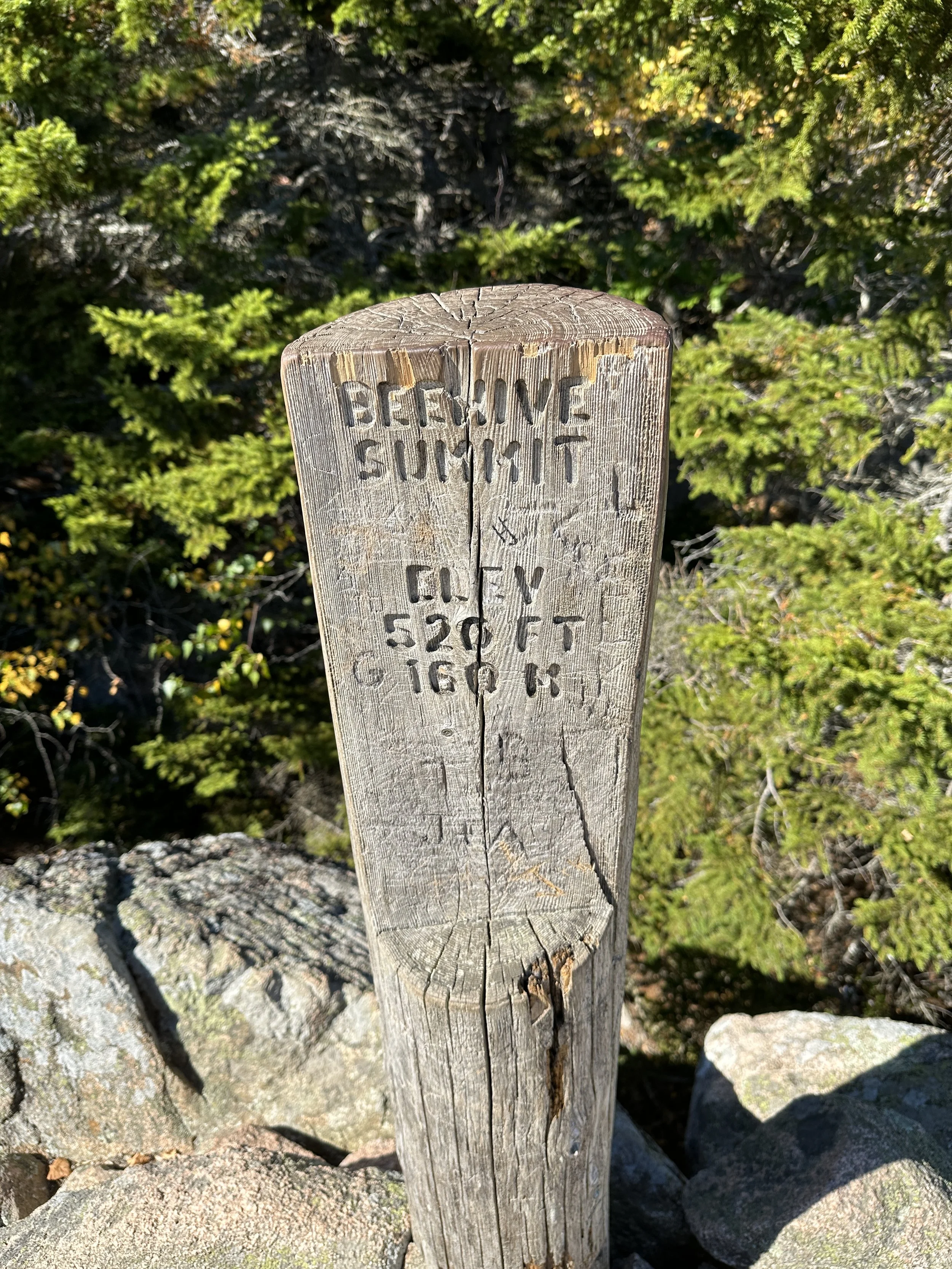
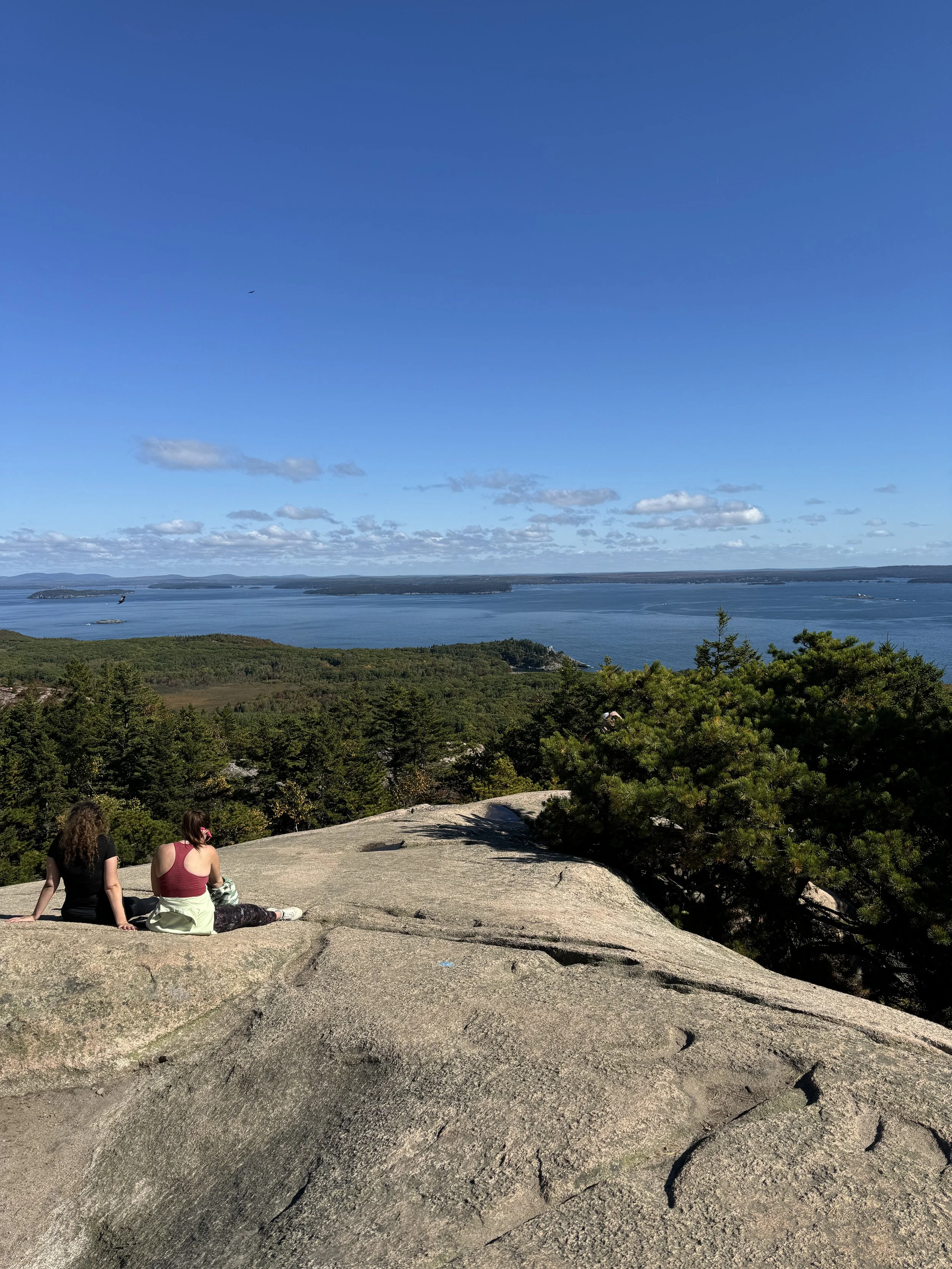
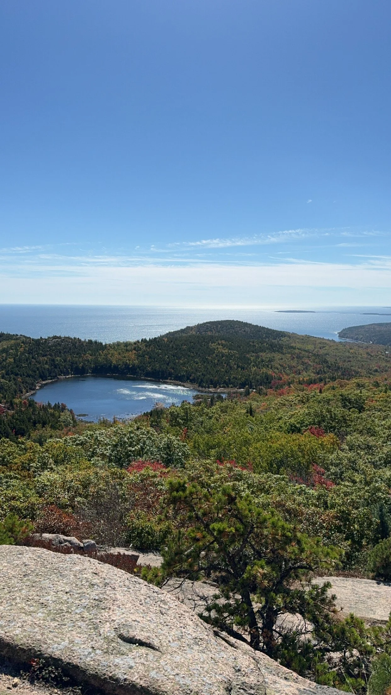
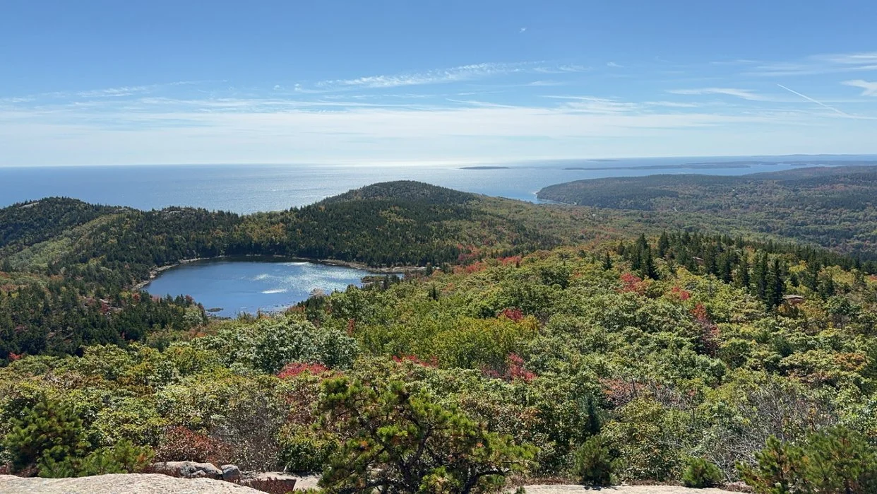
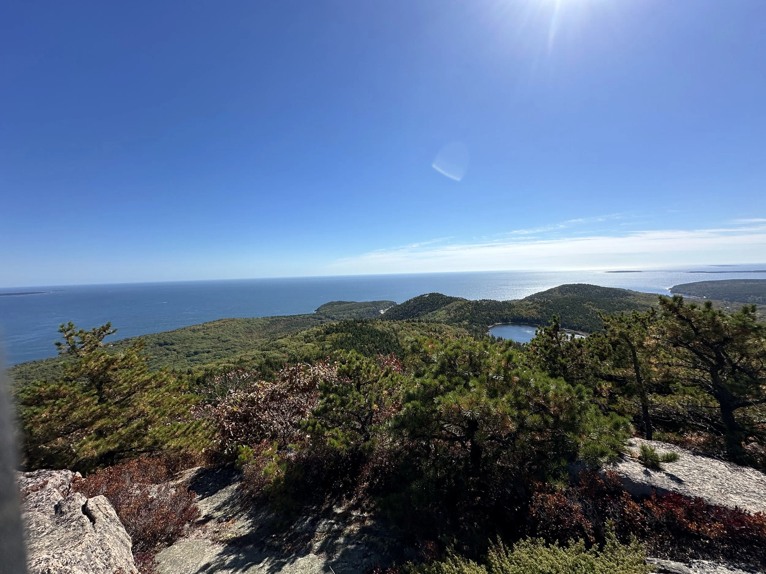
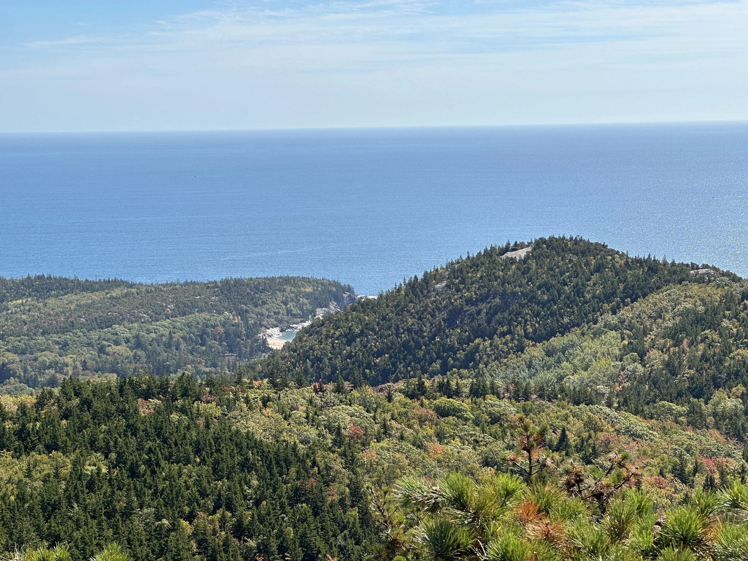
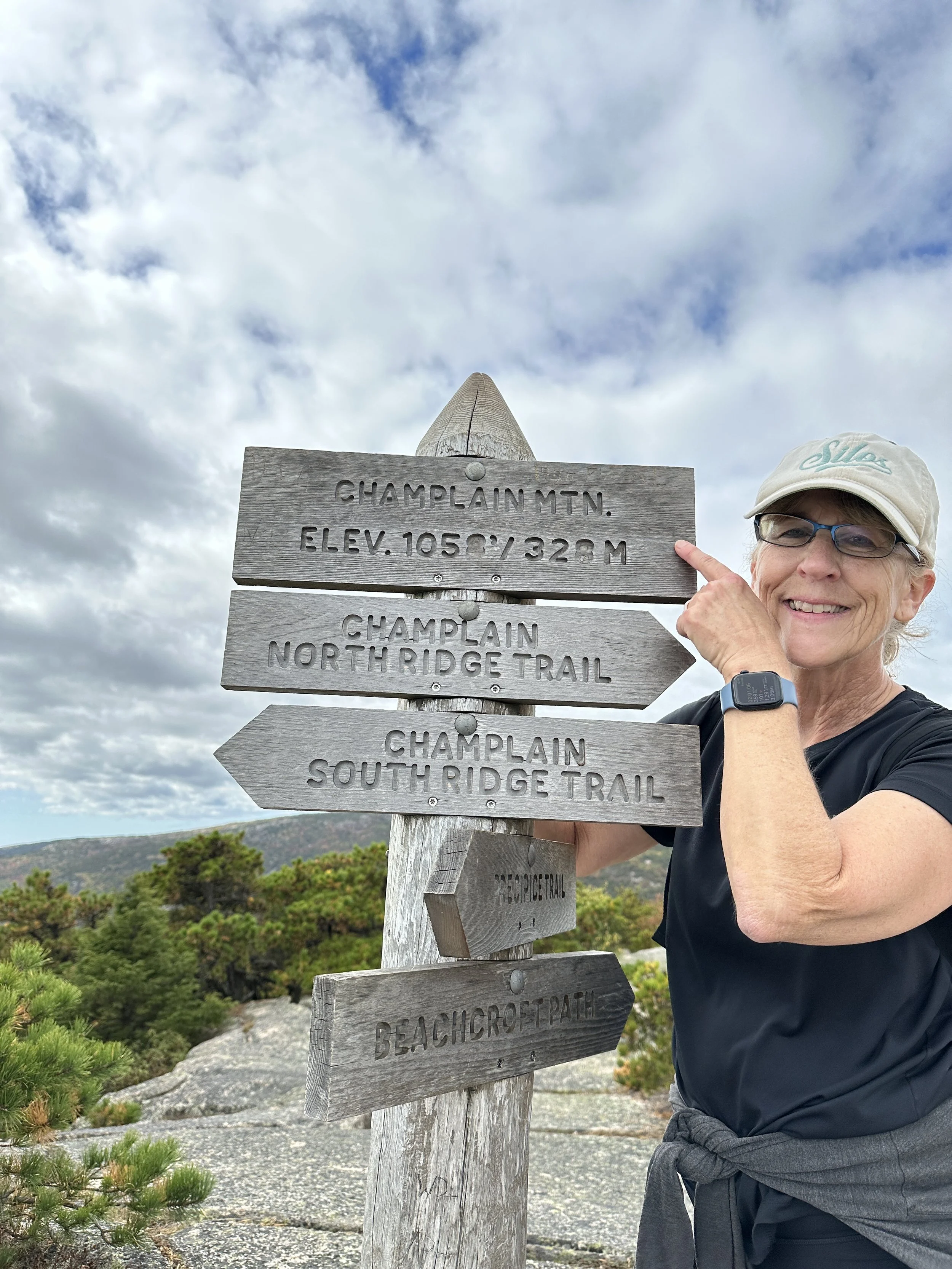
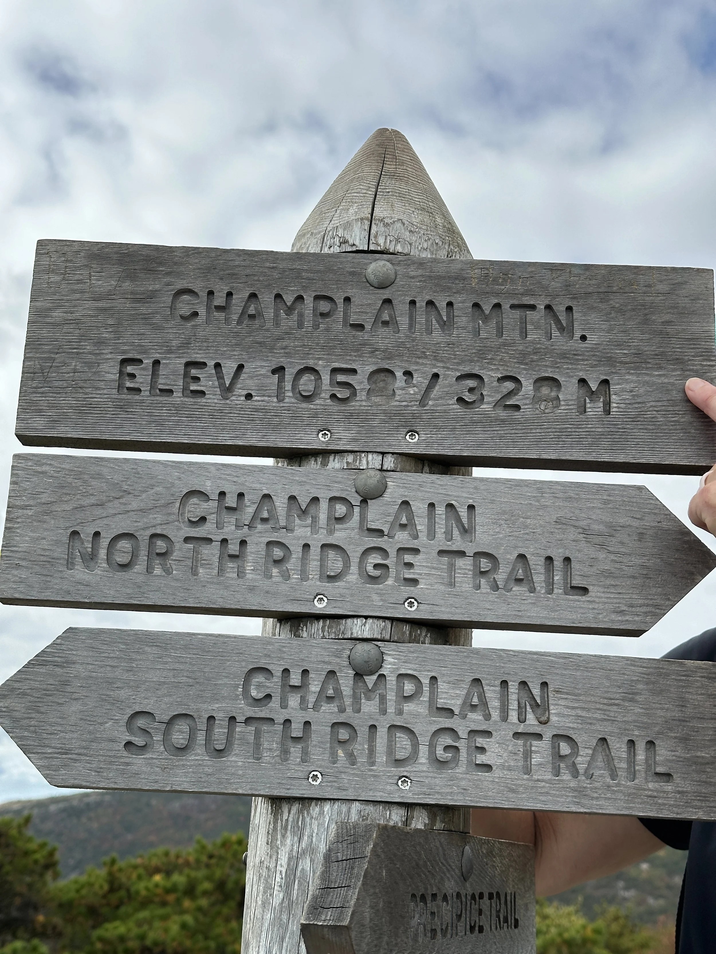
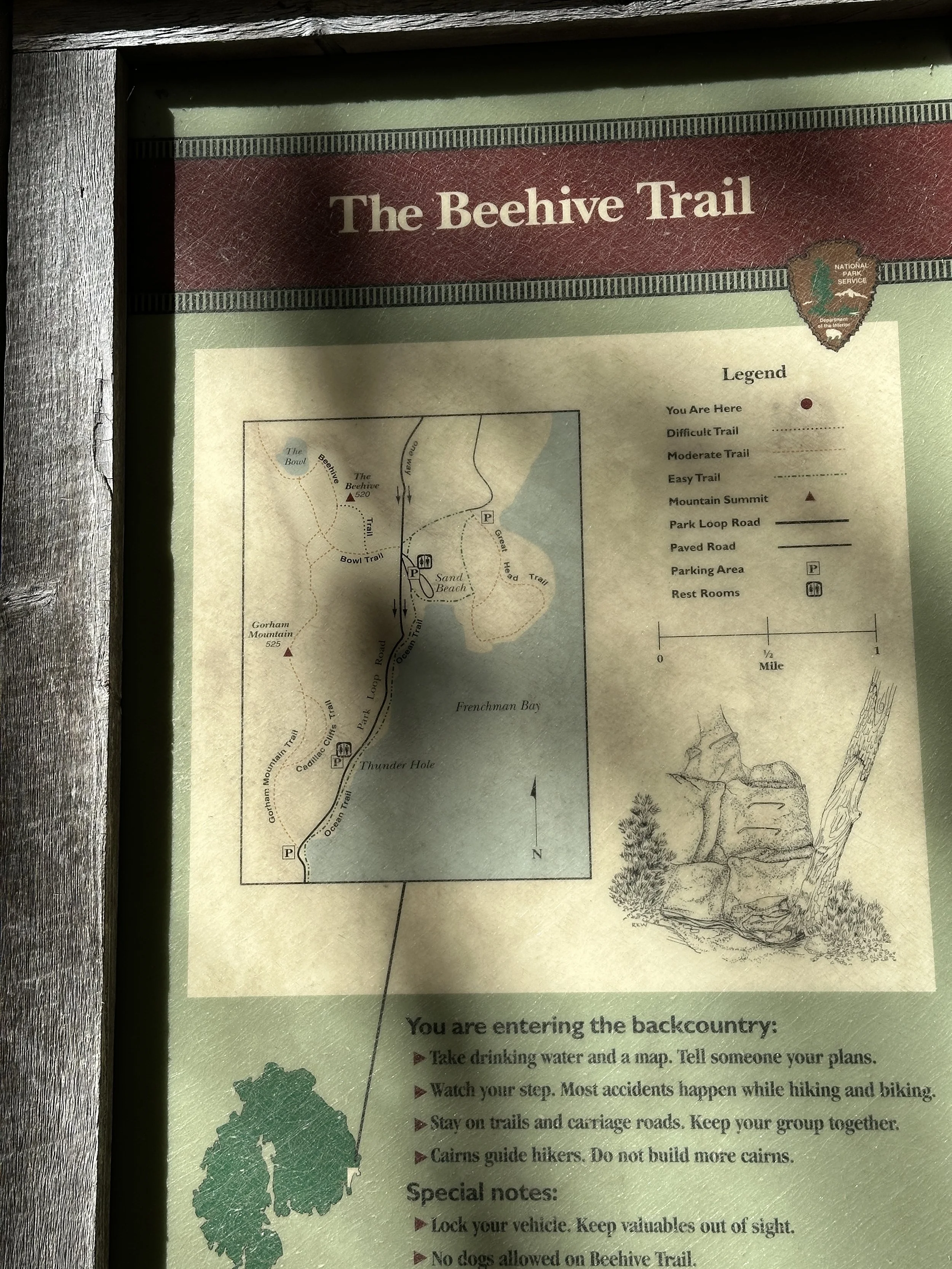
On day 3 we visited Sandy Beach and then hiked up the back side of Beehive. After some great pictures at the top of Beehive we descended down to The Bowl (a lake) and hiked around The Bowl using The Bowl trail. From the far west end of The Bowl Trail, we picked up the Champlain South Ridge Trail hike to the summit of Champlain Mountain (elevation 1,058 feet). In our opinion views from the peak of Champlain Mountain were the best on the entire trip. Clear views of the ocean, inlets, The Bowl, looking down on Beehive – it was all so beautiful.
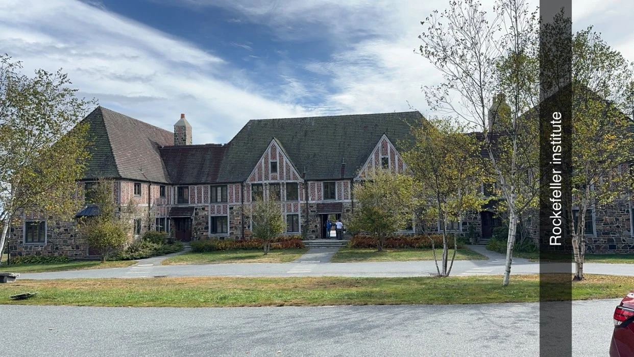
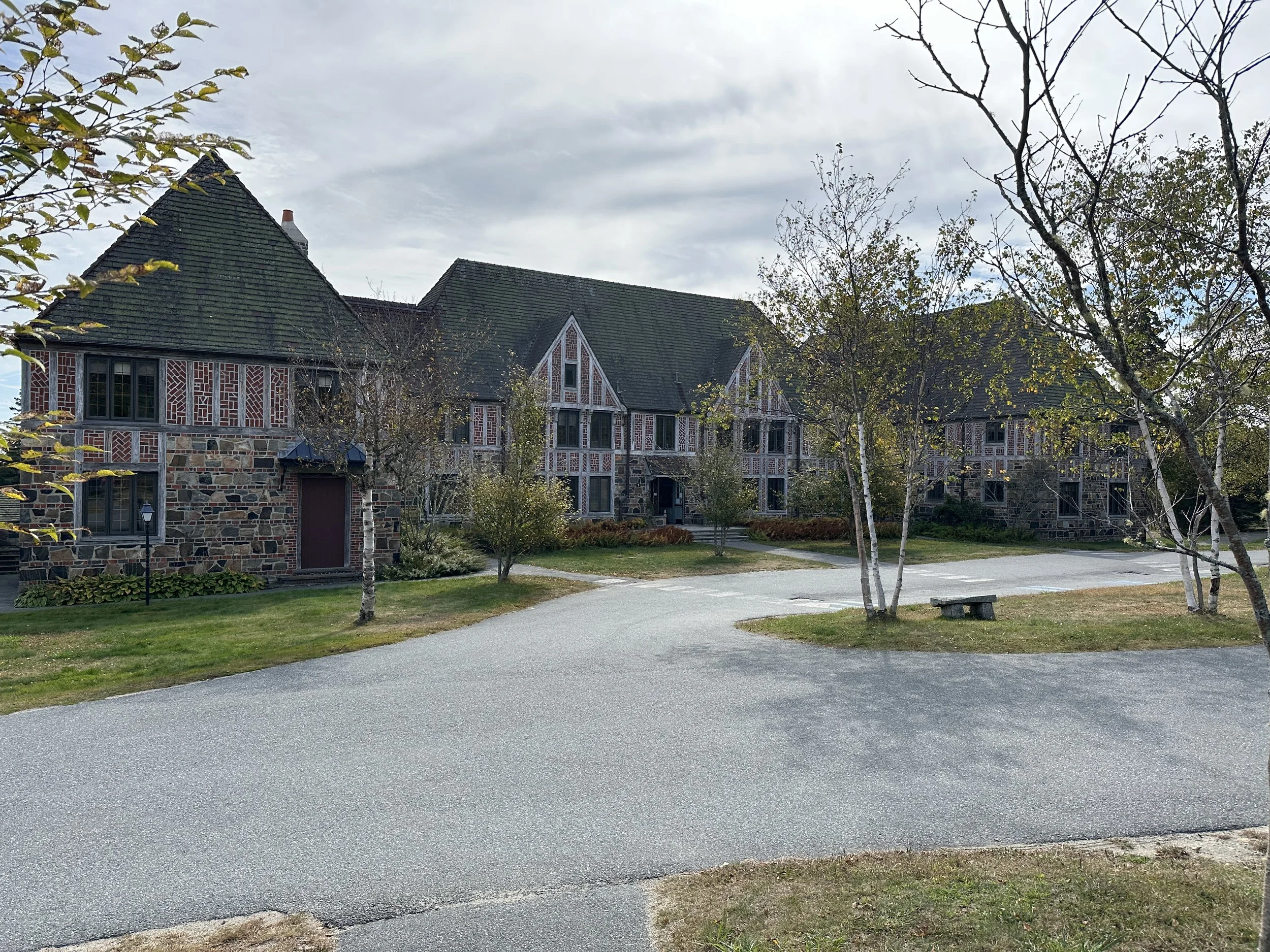
A well-deserved rest day was spent in Camden and visiting the Schoodic Institute a former Naval radio and listening base decommissioned in 2002.
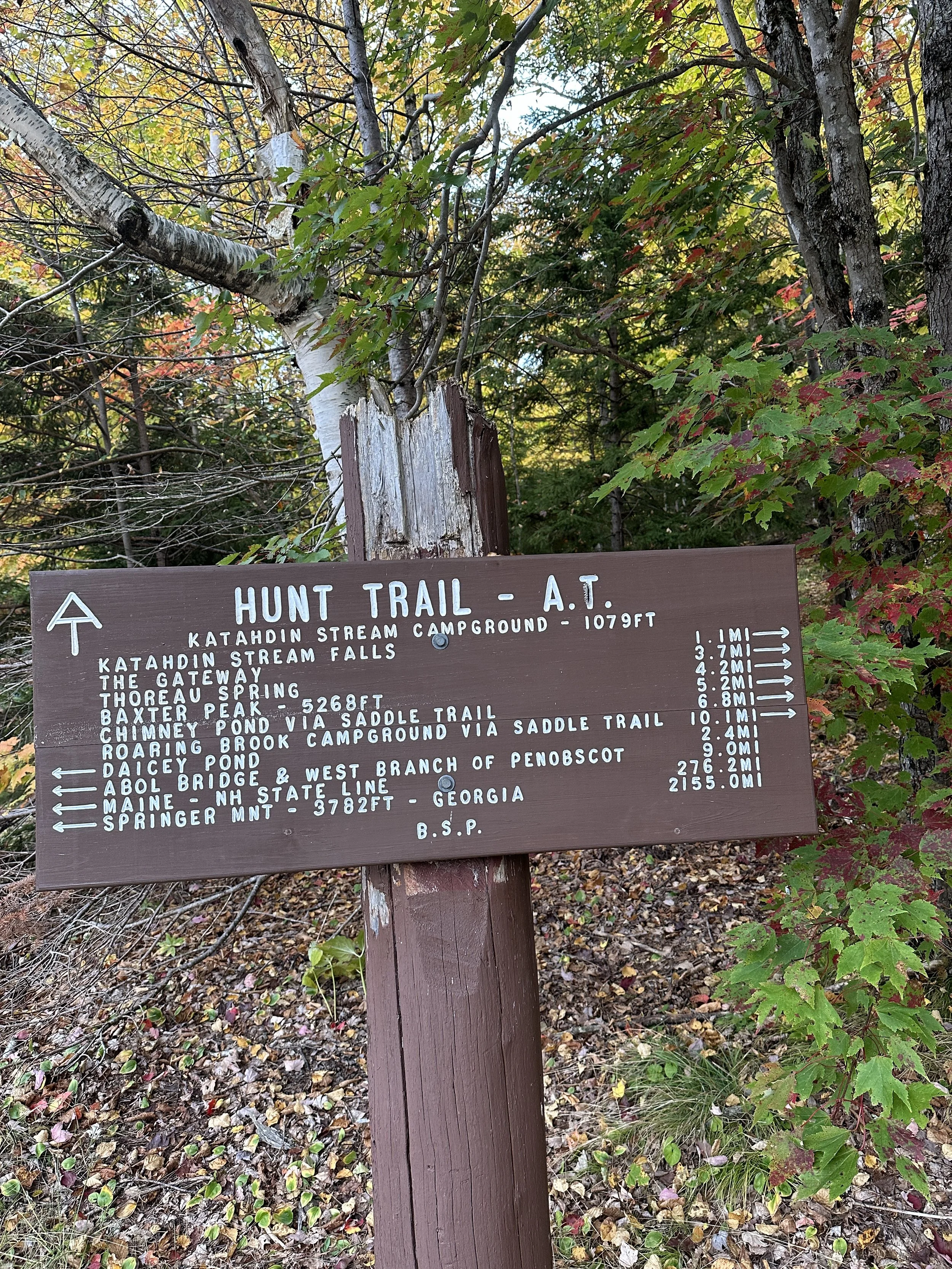
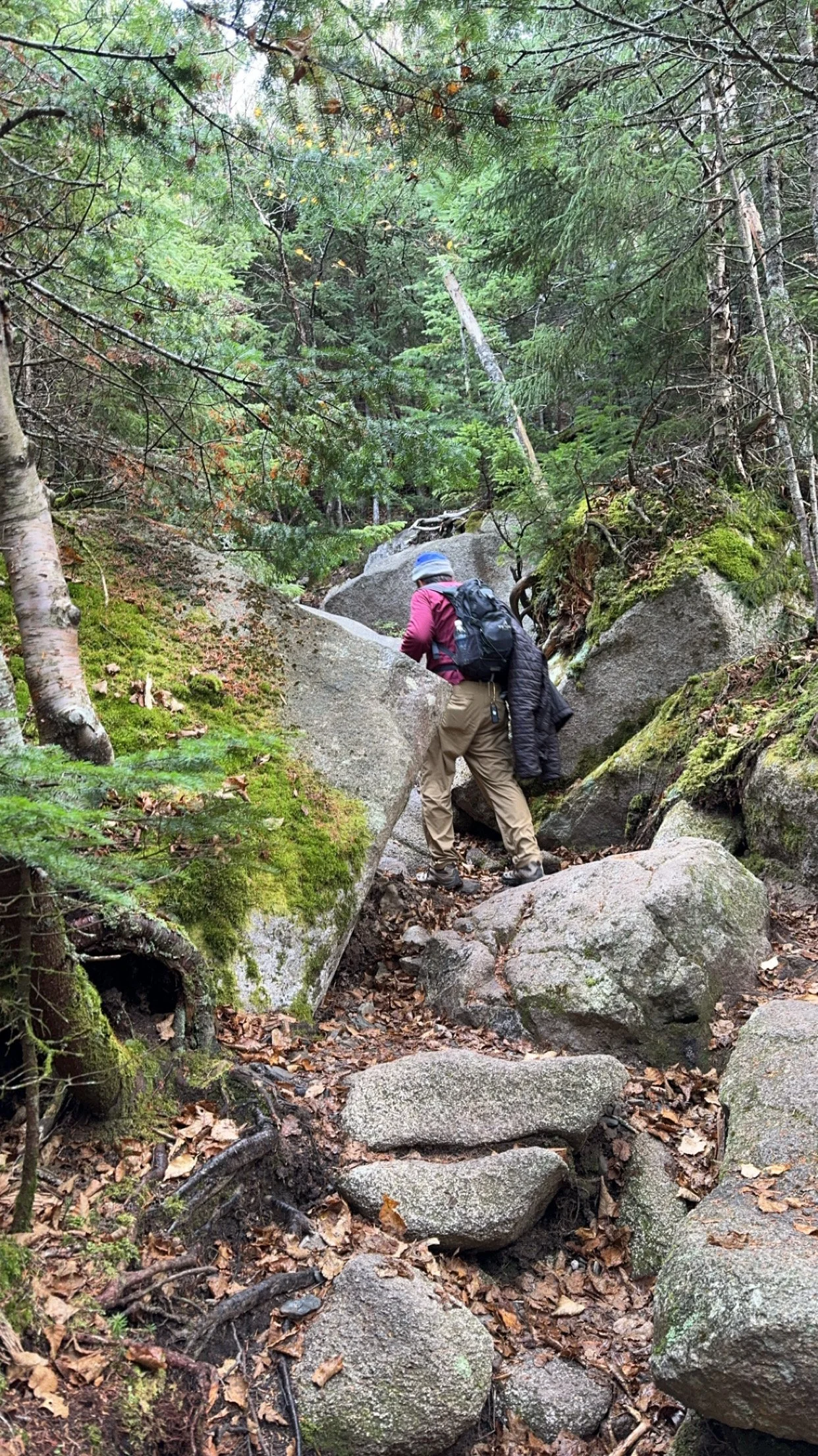
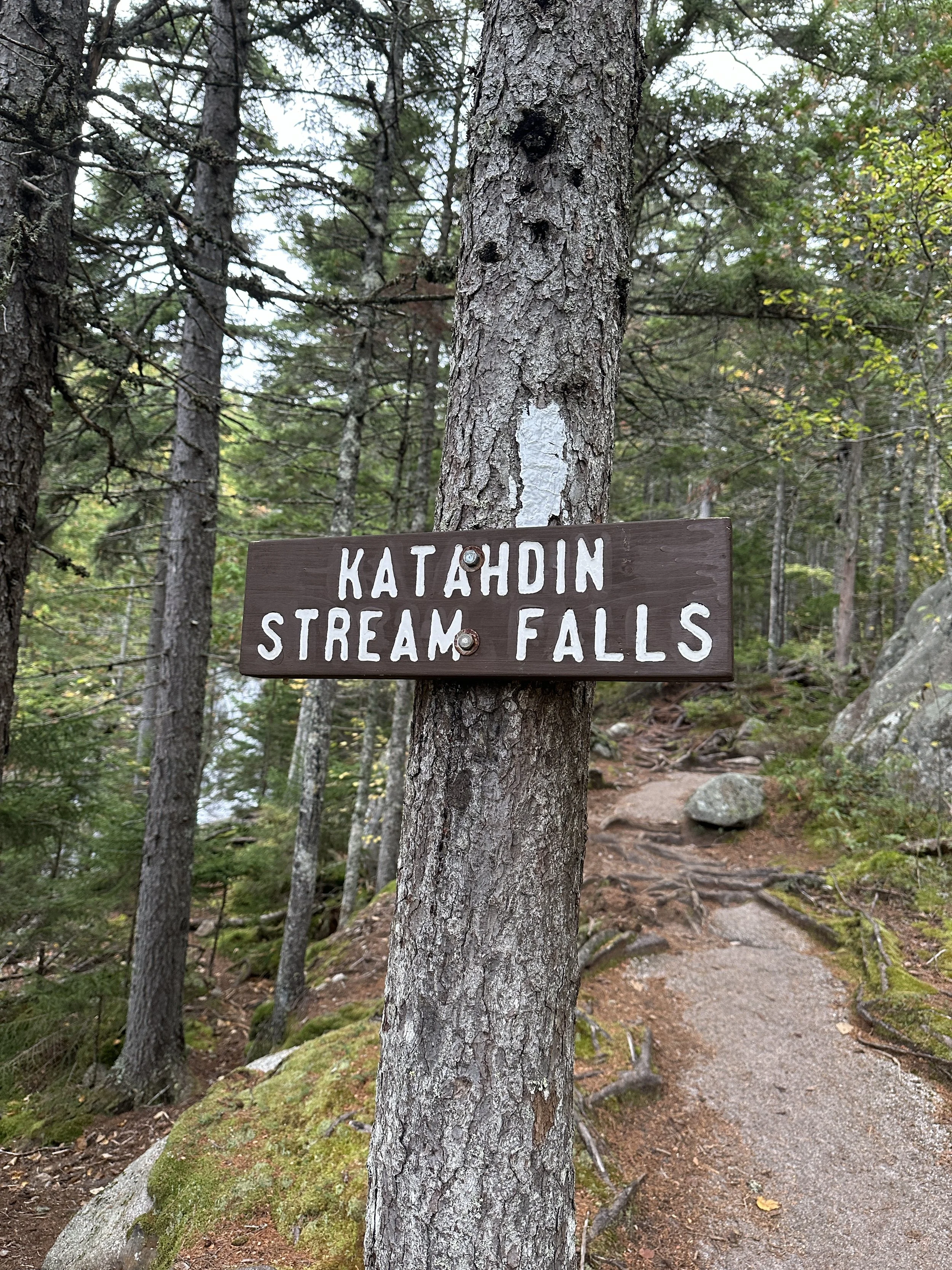
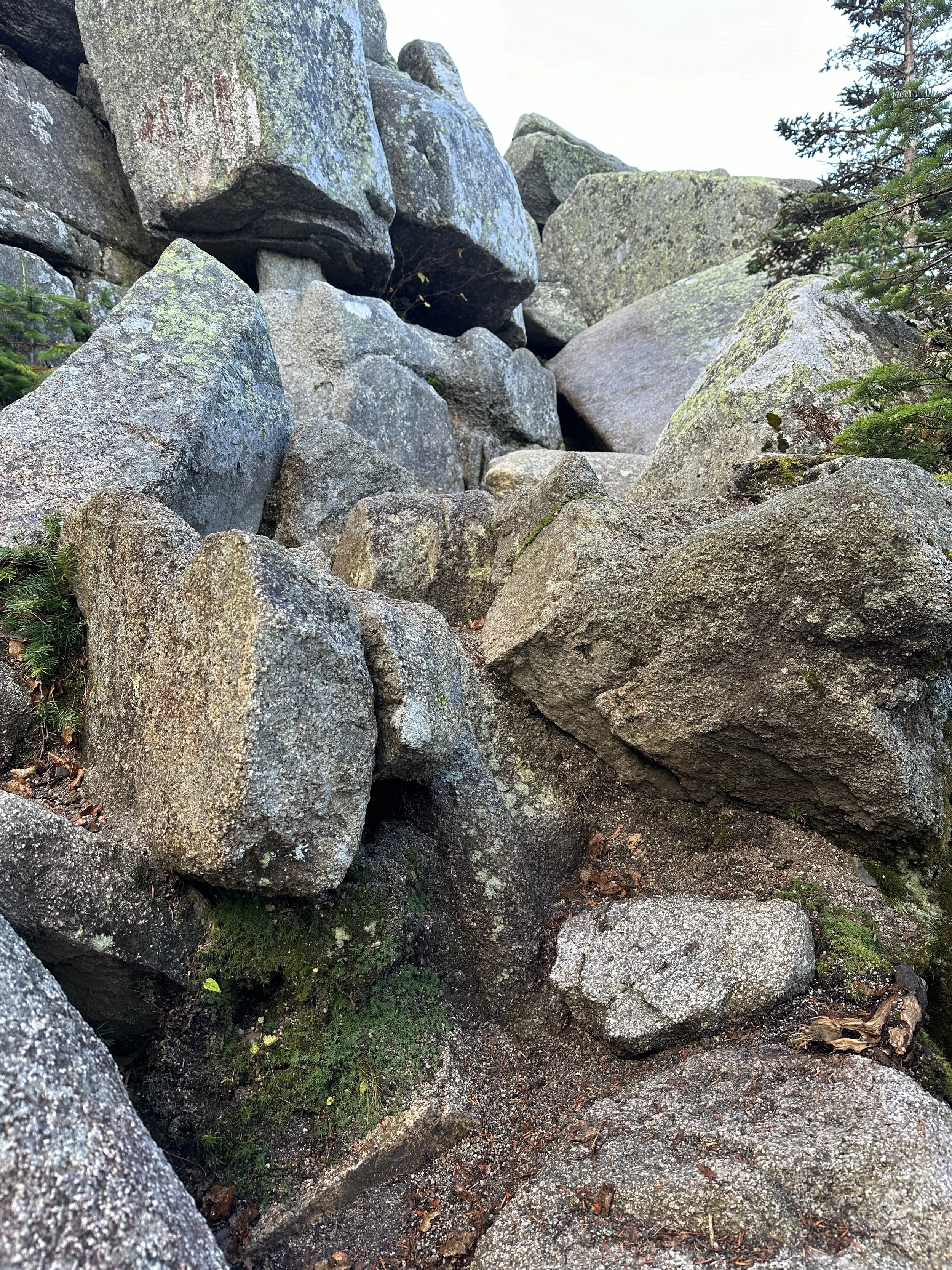
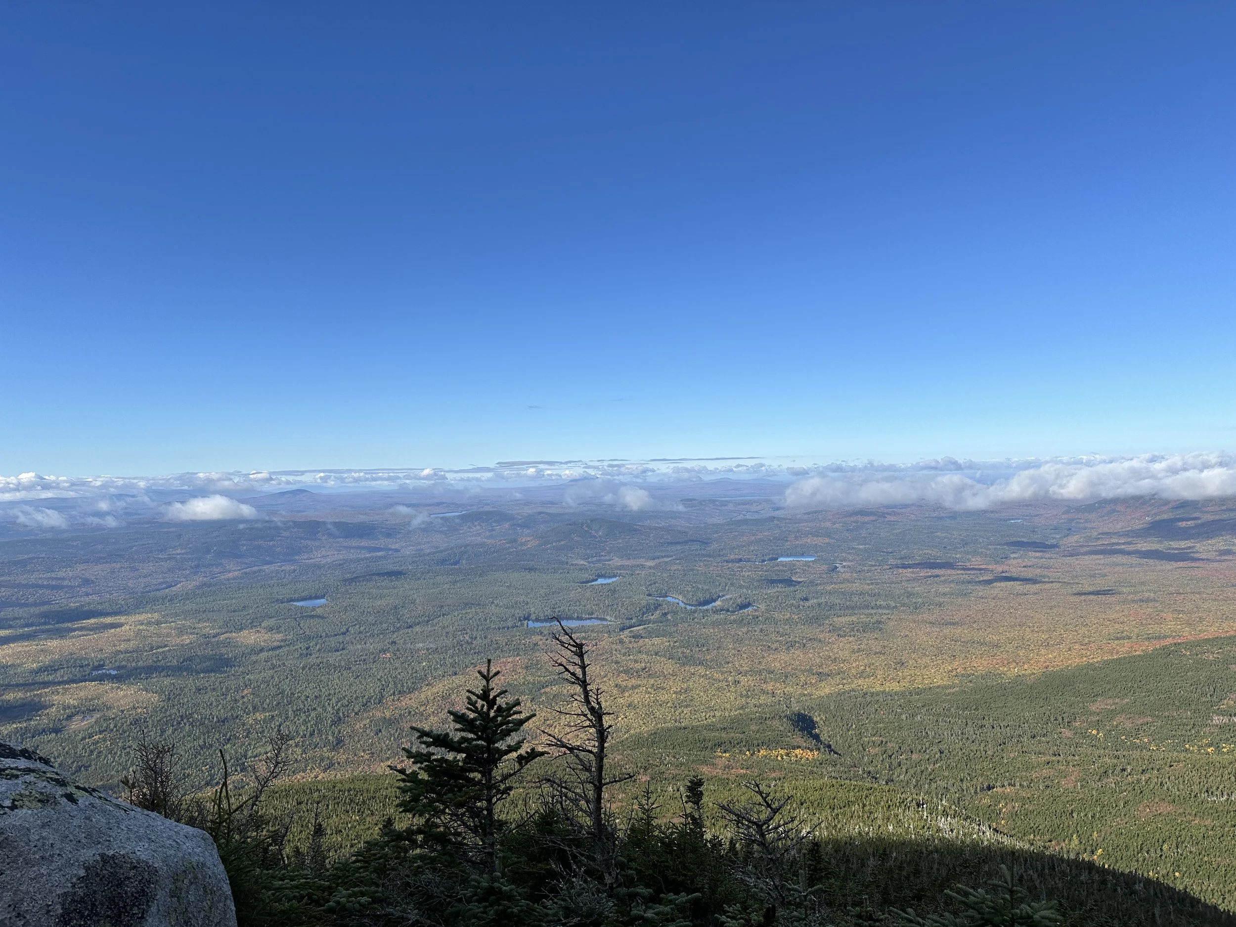
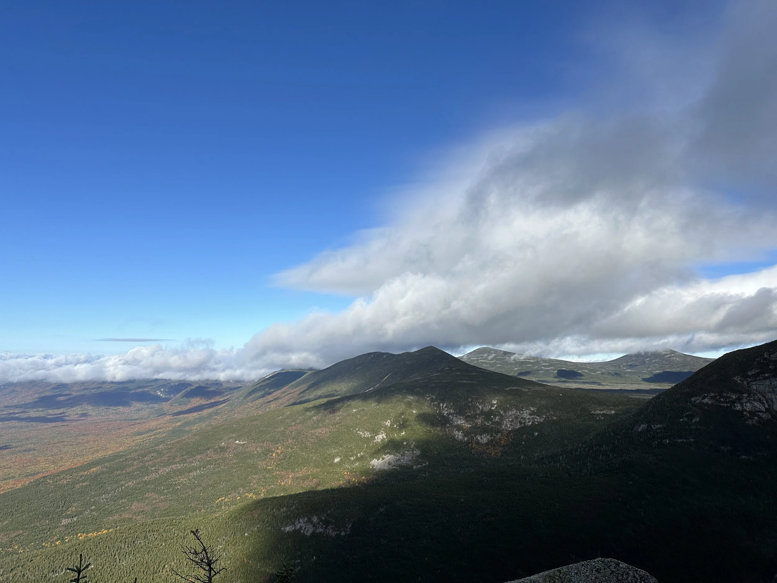
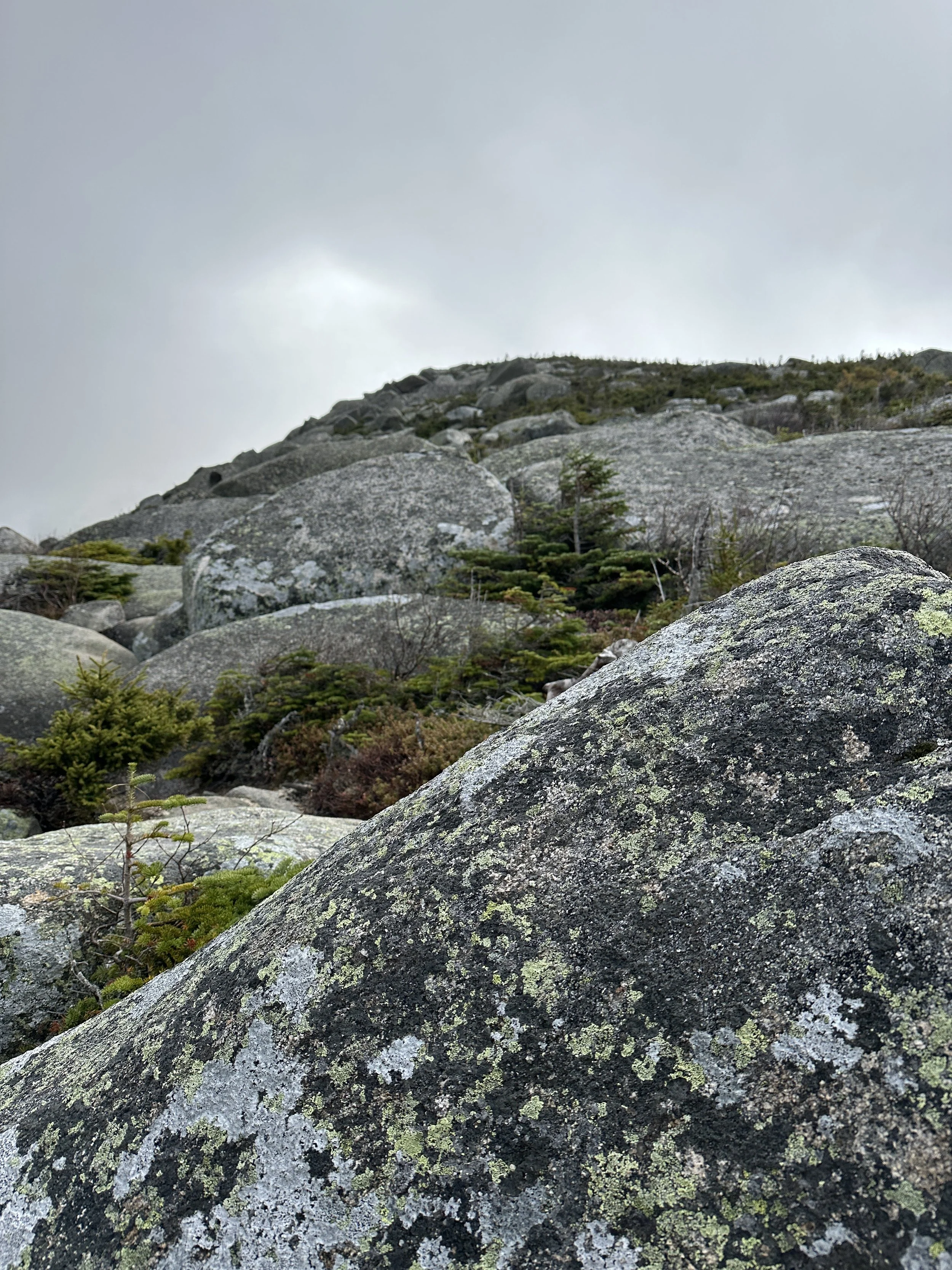
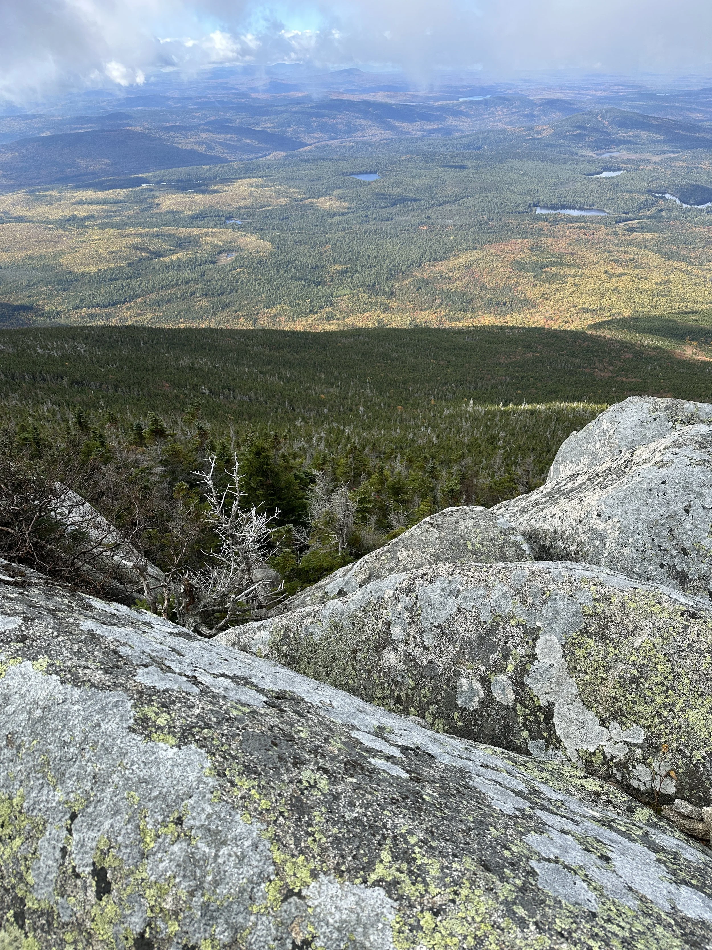
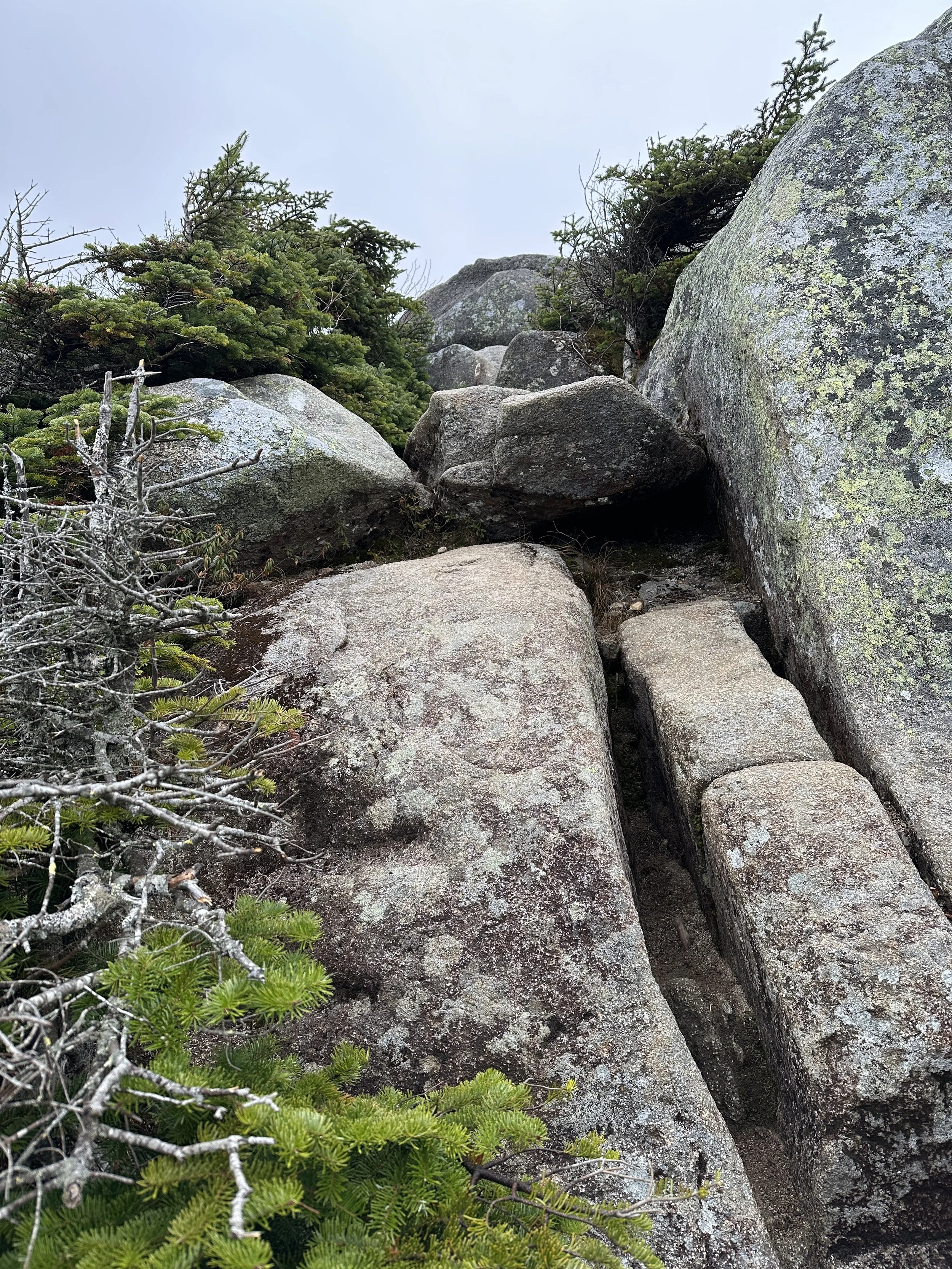
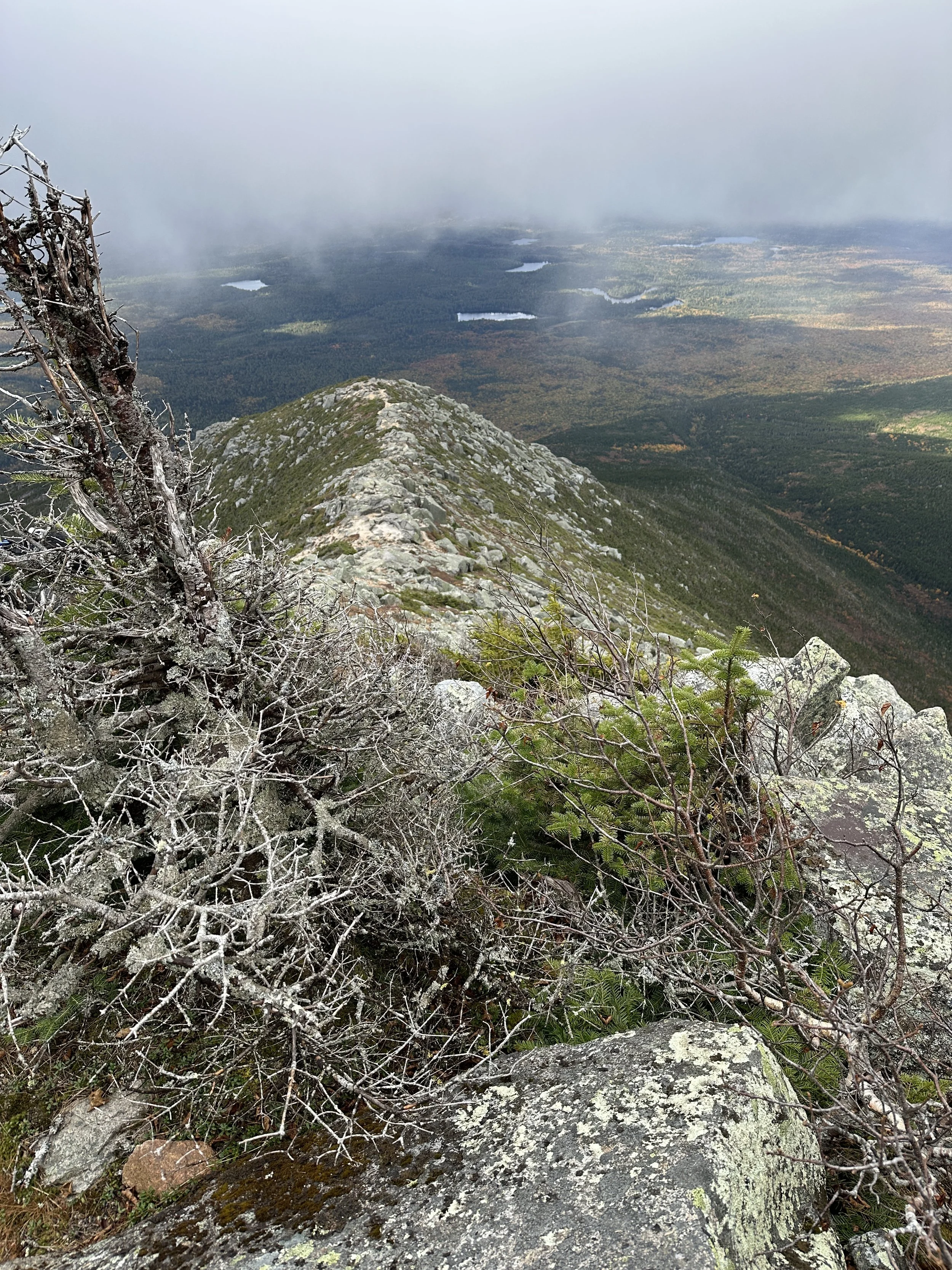
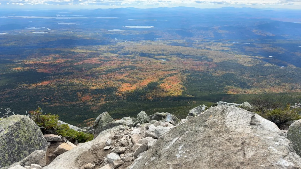
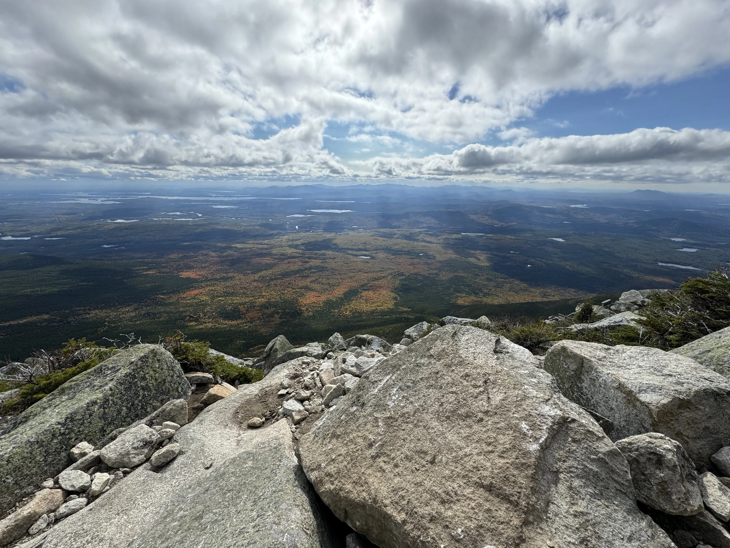
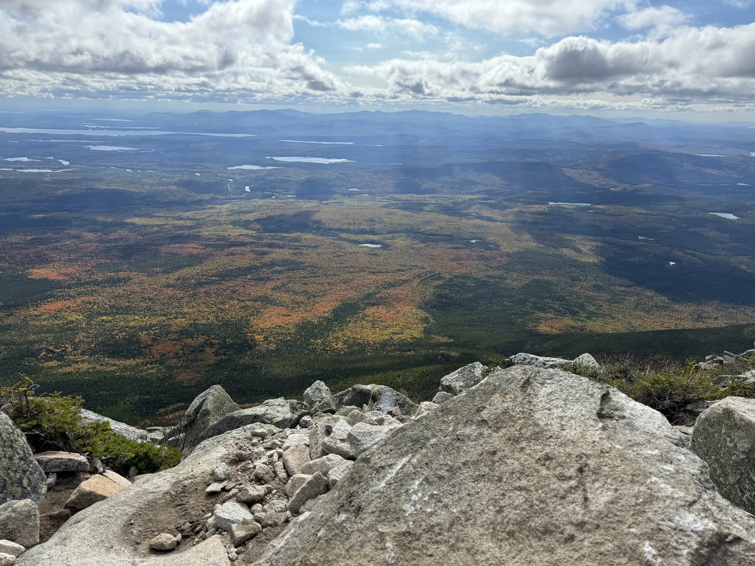
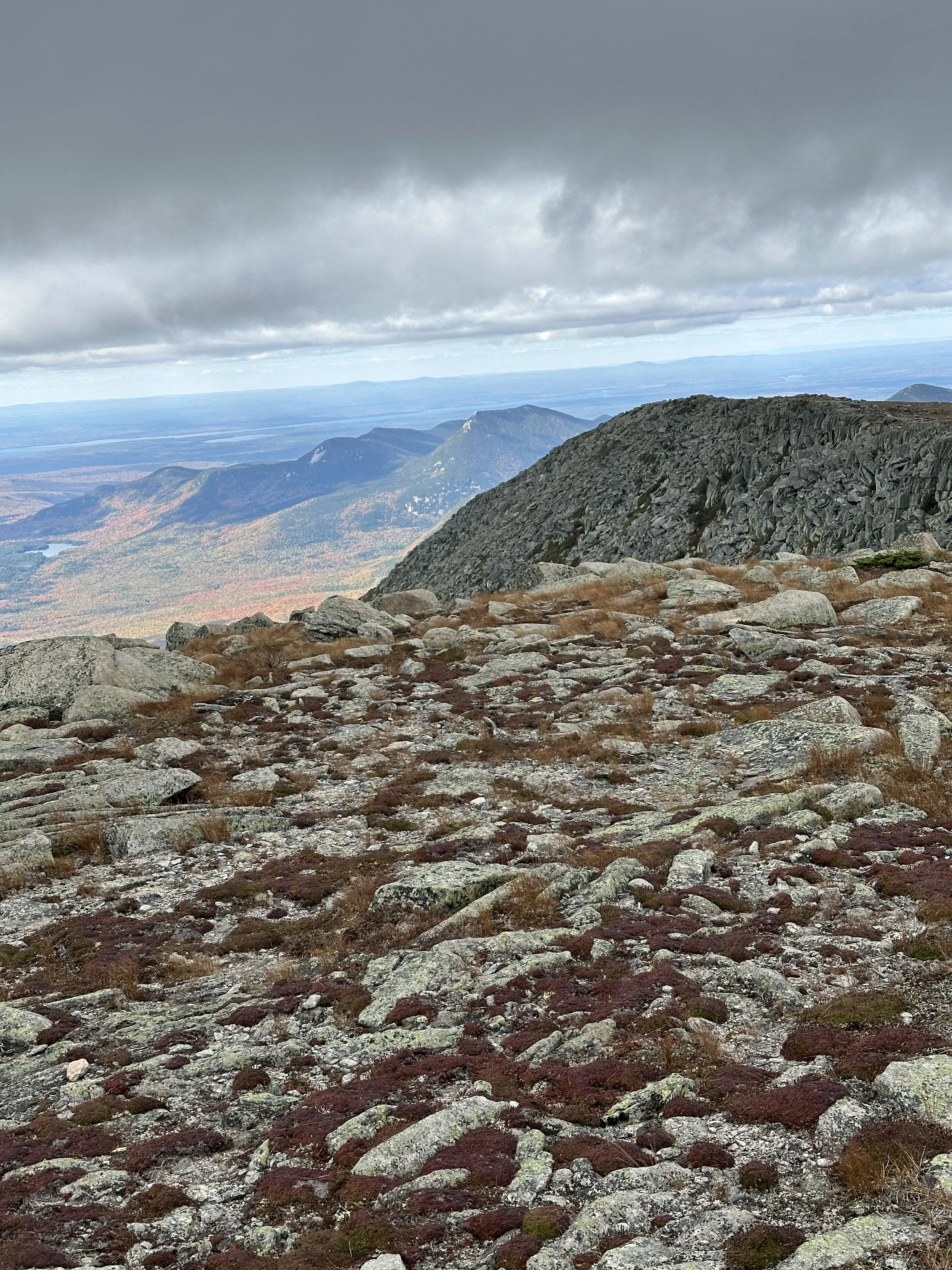
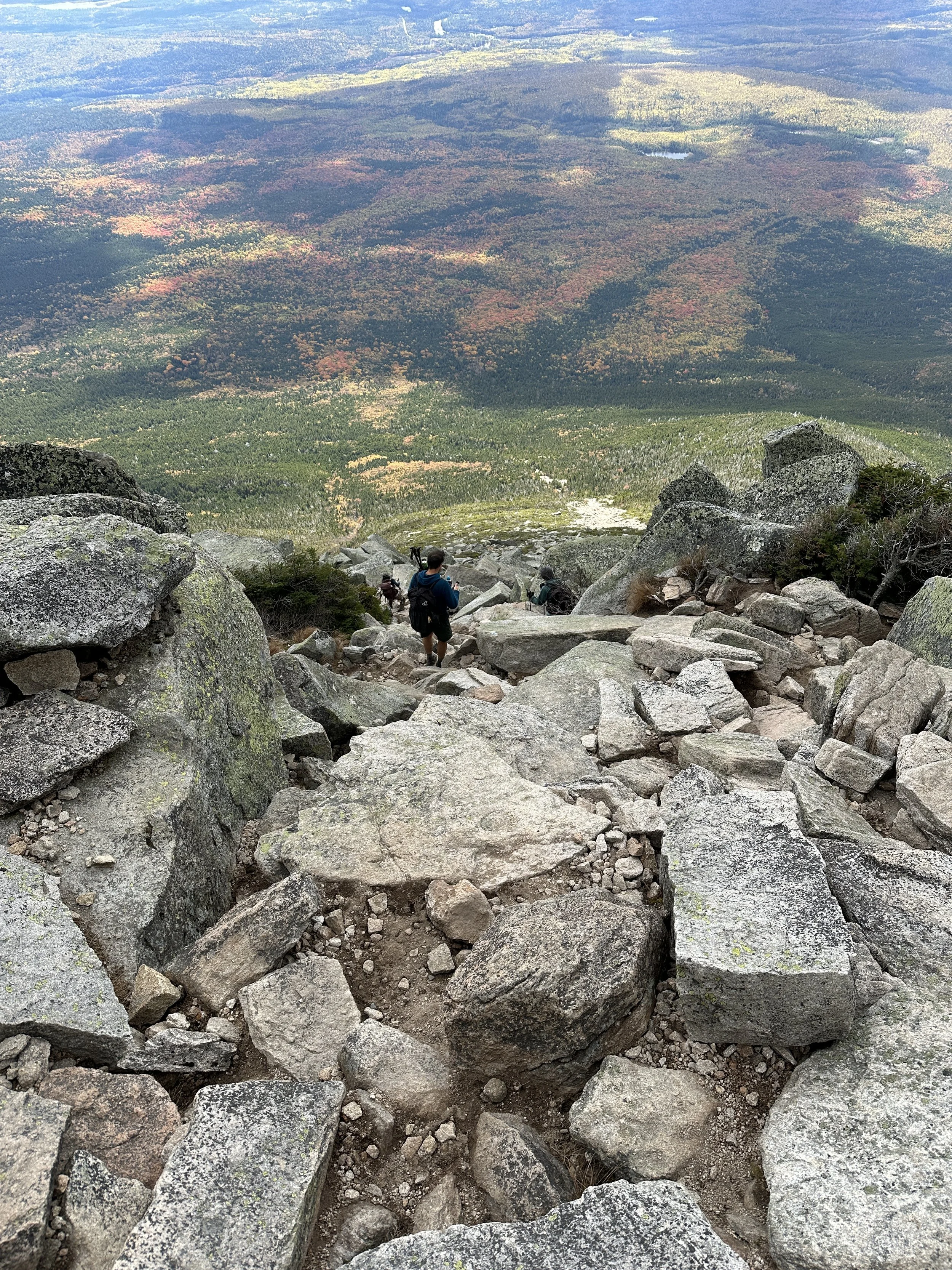
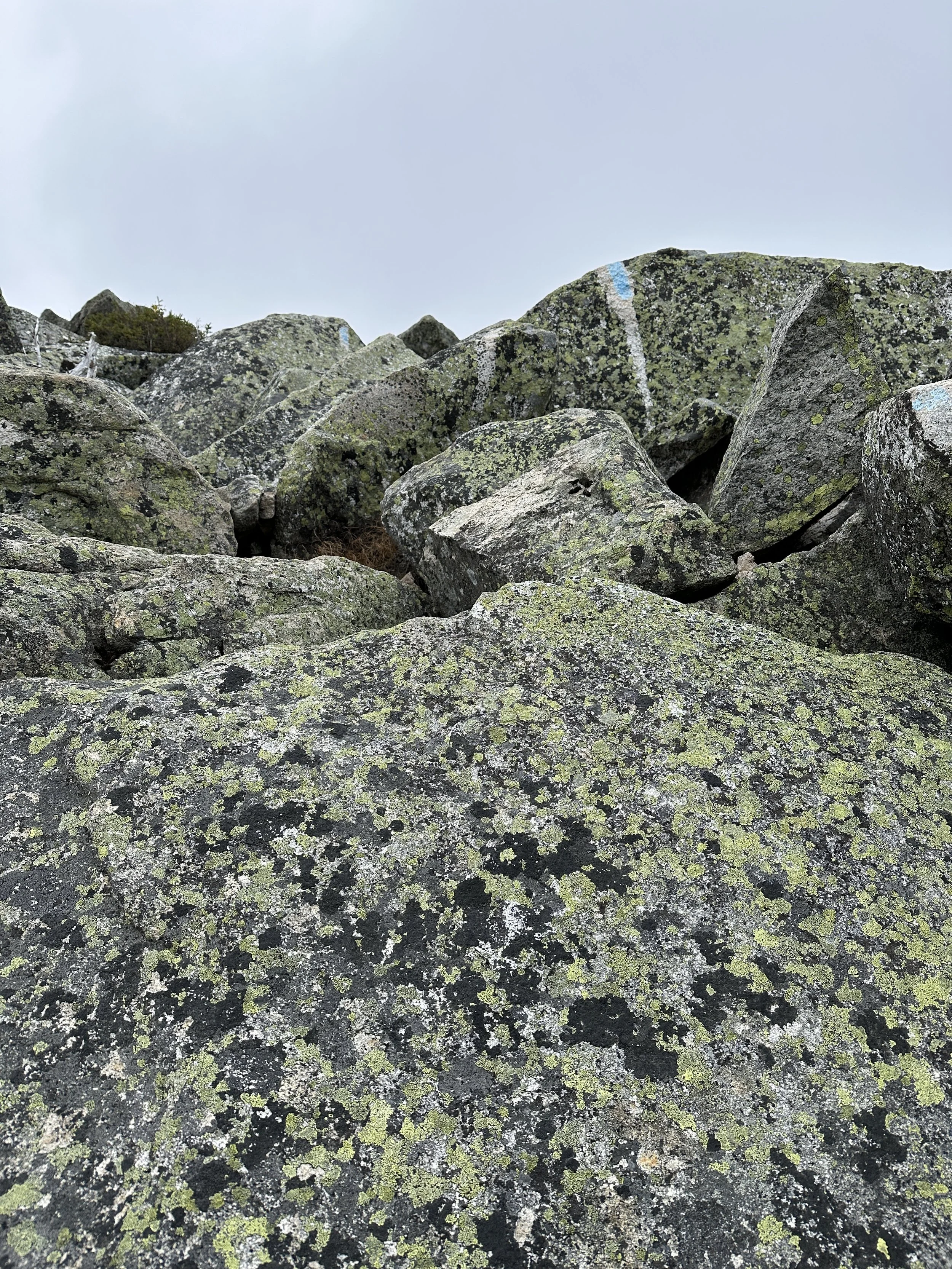
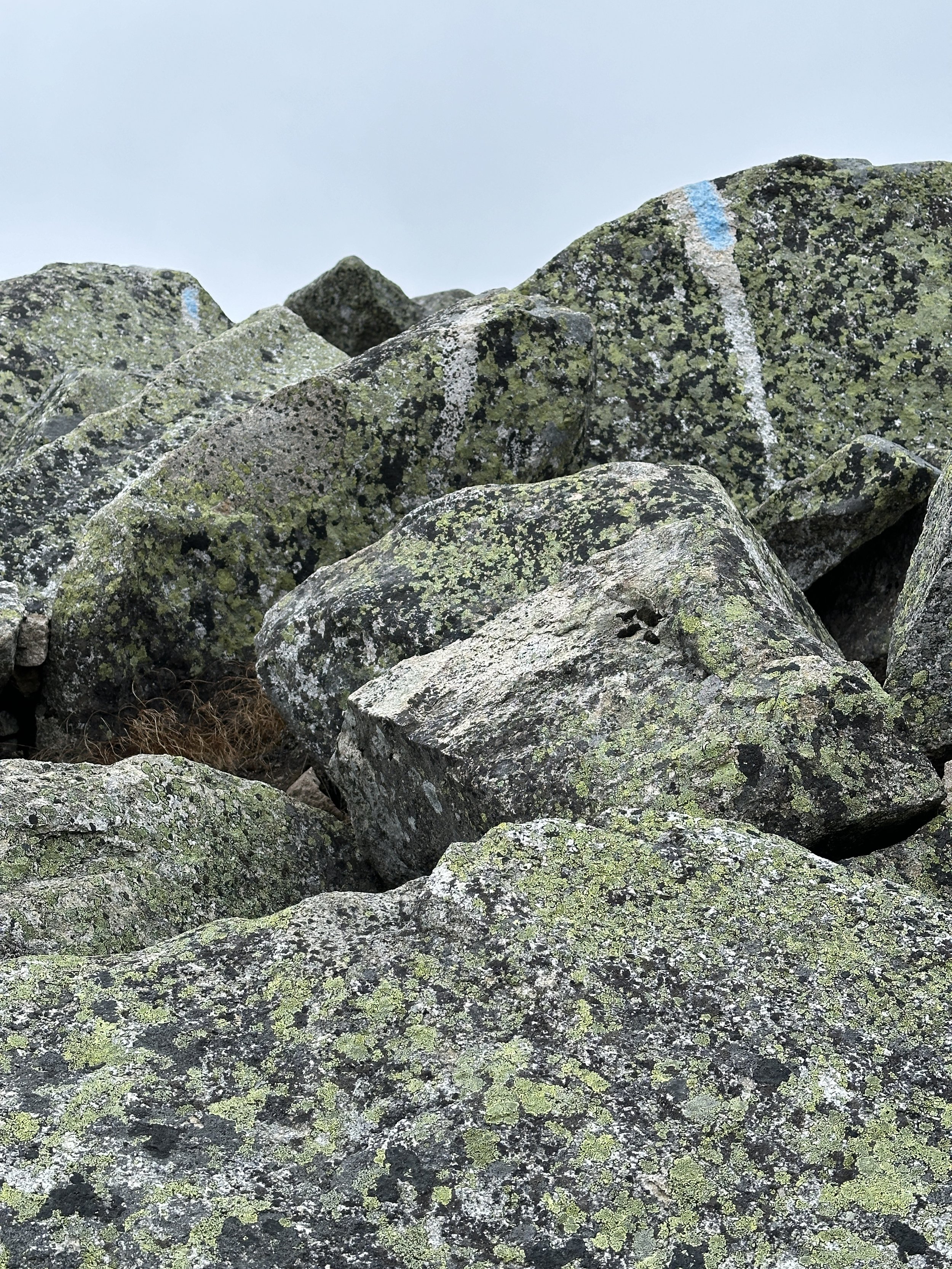
Our last day was a 3:30am wake up call as we drove to Baxter State Park, then hiked and climbed to the summit of Katahdin Mountain the highest peak in Maine using the Appalachian Trail and picking up the Hunt Trail to the summit. We started at Katahdin Stream Campground. While we have hiked to higher peaks (Guadalope at 8,751 feet), Katahdin was our highest single day of elevation gain 4,154 feet. The hike to the peak was 5.3 miles, but nearly 2 miles in the middle of the accent was mountain climbing more than hiking. We were very careful as more than 60 people have died trying to summit this mountain and there are sharp long drops as you need to climb over granite slabs. There were a number of Appalachian Trail through hikers finishing at the top of Katahdin and the peak is the last stop on the Appalachian trail. Many of the through hikers started at Stone Mountain Georgia and hiked over 2,100 miles to finish at Katahdin. After speaking with a number of through hikers we descended via the Abol Trail as it was steeper, but safer. The overall hike was 10 miles and took us 9 hours.
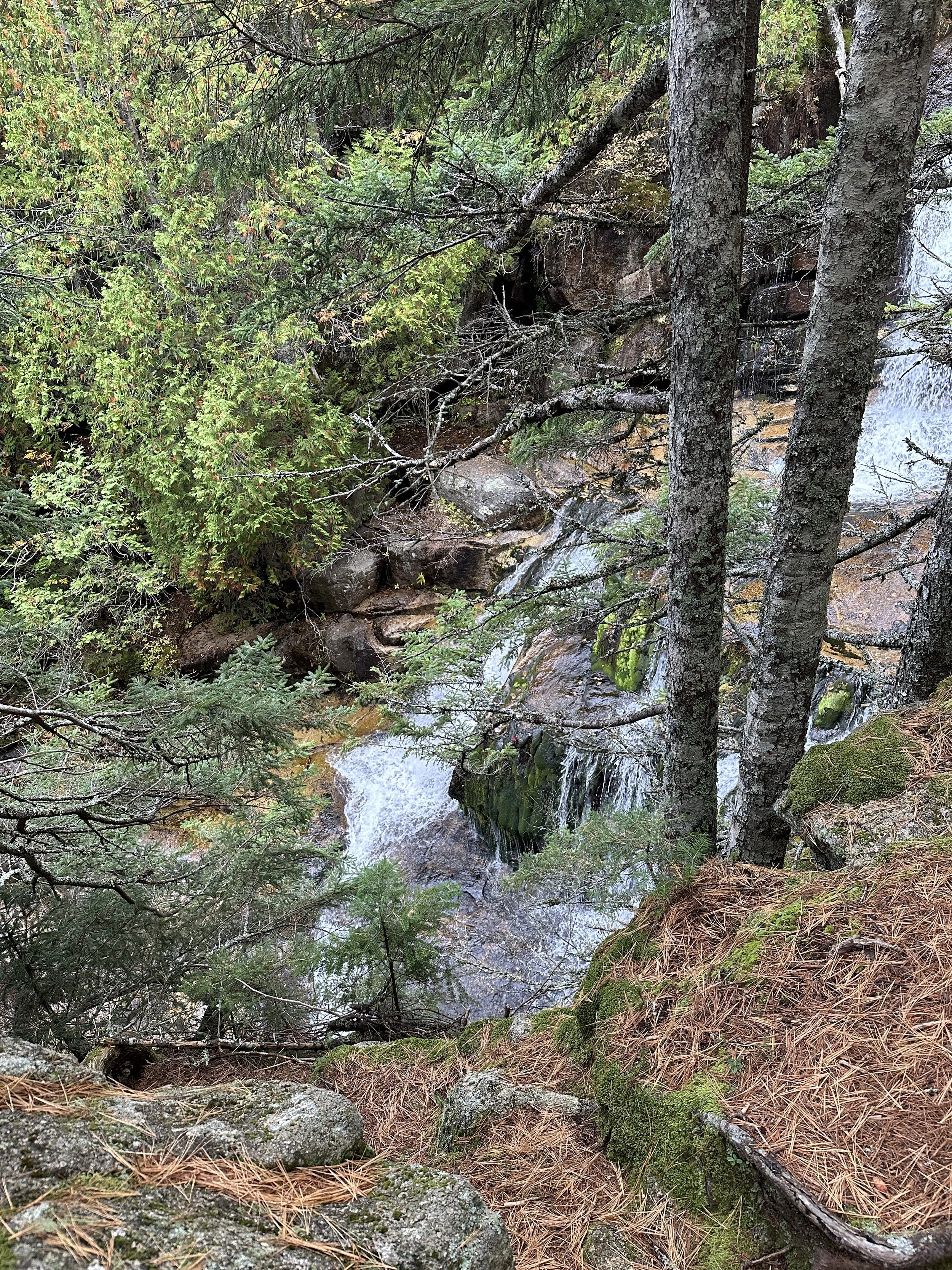
Water Fall on the first part of the hike up Katahdin
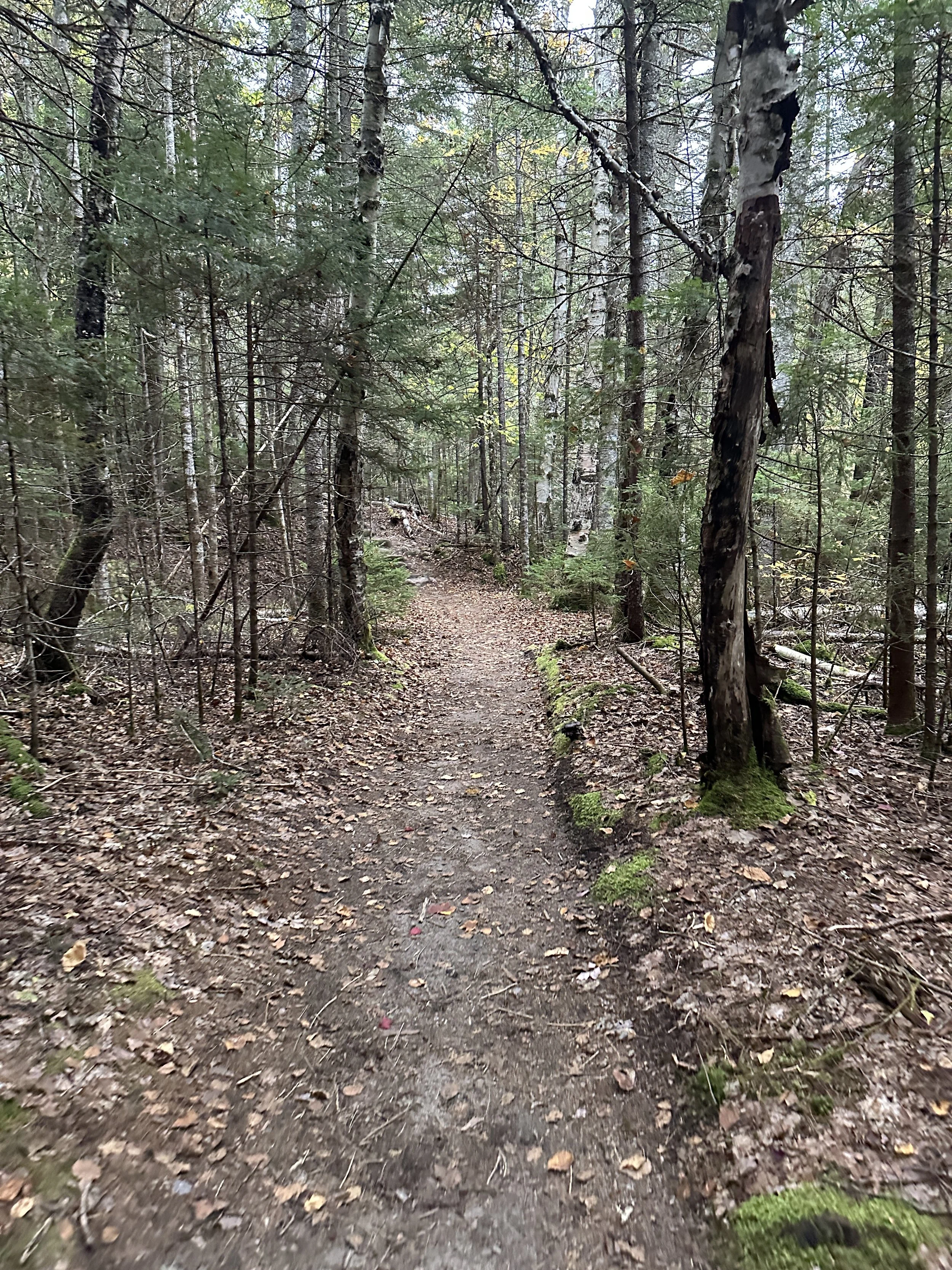
Hiking Trail to the top of Katahdin
Climbing phase to the top of Katahdin
Stopping to take a break and figuring out our next move to climb up this mountain
Denise climbing well, but not happy with the video
Mountain Climbing Phase of the ascent to the top of Katahdin
Climbing phase to the top of Katahdin
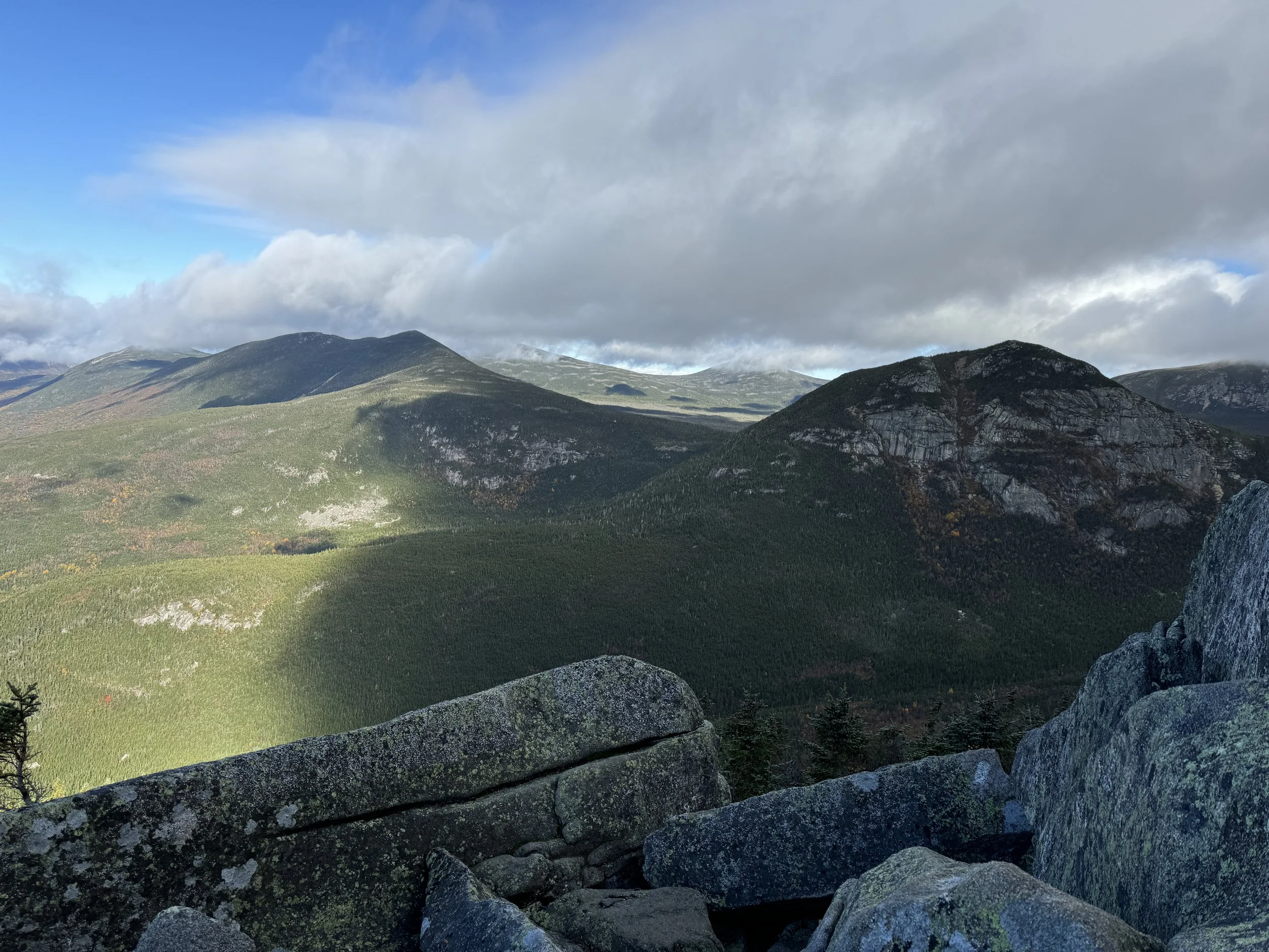
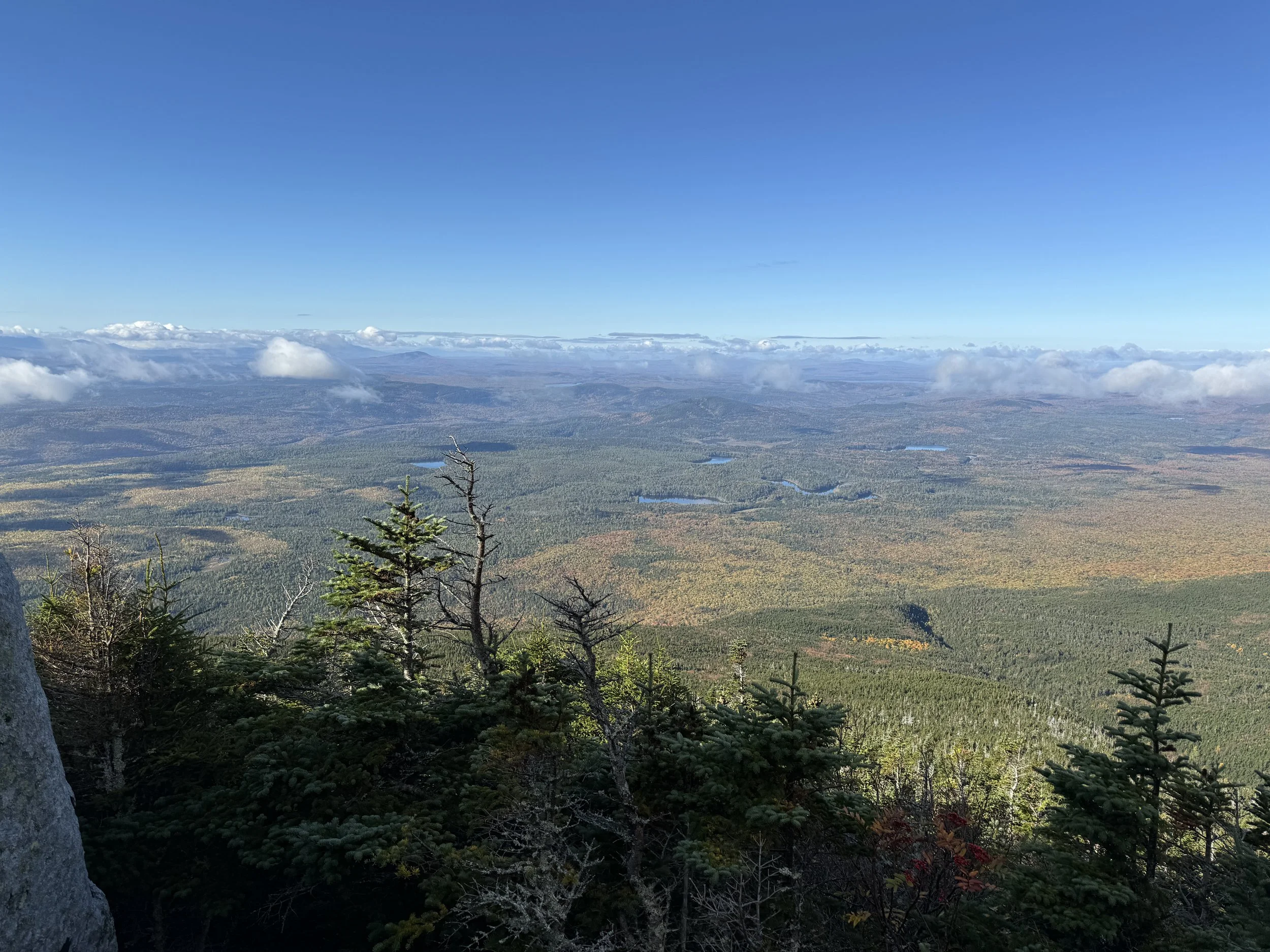
View from the top of Katahdin
The Summit of Katahdin 5,269 feet; that was 4,200 feet of hiking and climbing to get there
Hiking along side Eagle Lake
The Famous Thunder Hole
Ladder Trail to the top of Dorr Mountain
View from the top of Dorr Mountain
Denise hiking up Cadillac Mountain
Bubble Pond after descending on the steep western face of Cadillac Mountain
Hiking to the top of Bee Hive
Hiking up to Mount Champlain
View from the top of Mount Champlain
