Buford Mountain Conservation Area
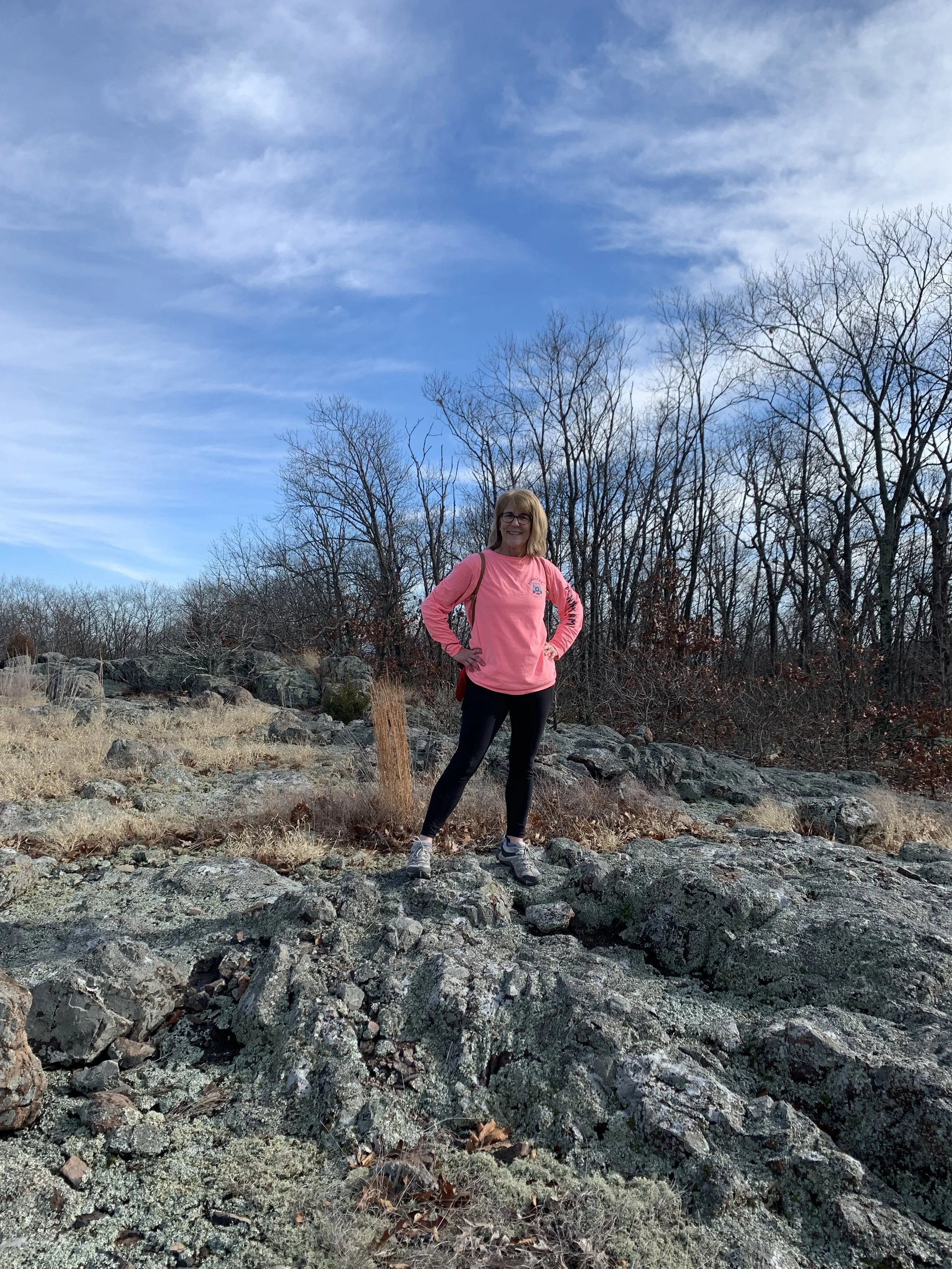
Bald Knob on Buford Mountain
My hike on Sunday 1/1/2023 was at the Buford Mountain Conservation Area near Ironton, Missouri. From my house it was a 74-mile drive to the parking area near the trail and it took me about 1 hour and 30 minutes. The plan for the day was to hike the Buford Mountain Trail at 9.5 miles. This trail has an Advanced difficulty level.
The weather was overcast and warm with the temperature just above 55 degrees. The trail was mostly dirt and rock, however the path was both easy to follow and generally just fine to hike. There were a few places where the protruding rocks made it difficult to walk on the path. It rained the 2 days prior and the some of the trail was quite muddy. I was with Denise, Joe and Ann for this hike.
The area was named after its settlement in 1812 by William Buford, who acquired the land through a Spanish Land Grant. In the mid-1800s, the charcoal industry flourished in the area. Old charcoal kilns still remain over the entire mountain. Limestone stream beds mark the base of the mountain. Several wet weather springs can found over the area. The area’s most outstanding feature is its glades, ranging in size from 1 acre up to 10 acres. These glades provide many scenic views.
Buford Mountain Conservation Area is heavily forested and wilderness-like with Buford Mountain standing tall at 1,740 feet. The Mountain is just shy of the highest in the State. Most of the Mountain is hardened by granite known as Rhyolite, which serves as a testament to the area’s volcanic past. The Buford Mountain Trail starts out with a steep one-mile ascent to the peak at the first summit. The hike is challenging and the trail that takes you up the mountain and through several glades. Our climb was rewarded at Bald Knob with a stunning view of the valley below. The trail then follows a series of glades and summits.
There were a number of small ponds along the trail path. I posted pictures of the ponds, the view from Bald Knob and a few other pictures in the gallery below. We did not scramble much off the path, but I did make it over to a cool little spring with water bubbling down the ravine.
We did not see any other people on the hike nor did we see any animals. Given the time of the year all the trees were barren and there was no real foliage, except for Pin Cushion Moss. I have posted a couple of pictures of the moss in the gallery.
The hike took us a little over 4 hours with an elevation gain of 2,478 feet in total. The Buford Mountain Trail lived up to its difficulty level and we are all tired after completing the hike. It was a great hike in a remote area of Missouri and if you are looking for a longer and challenging hike this one will do it.


