Kings Canyon and Sequoia National Park

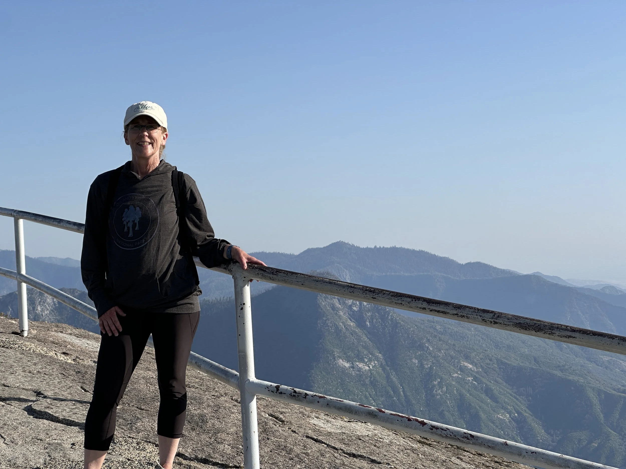
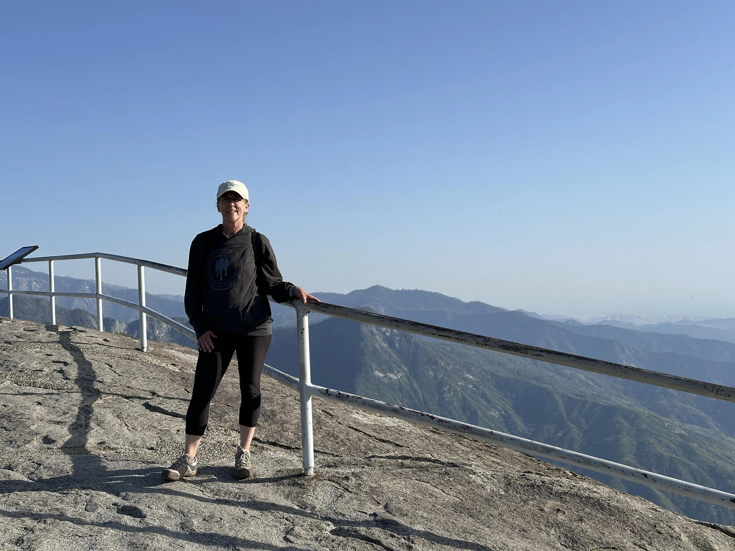
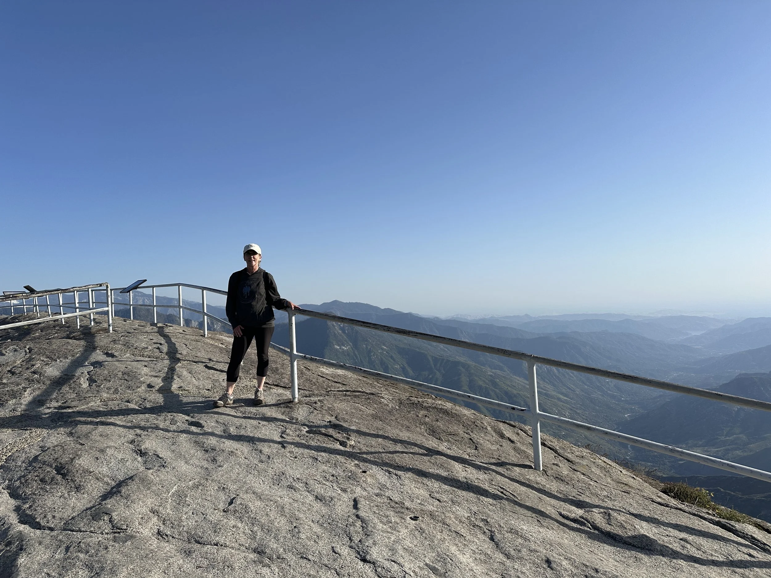
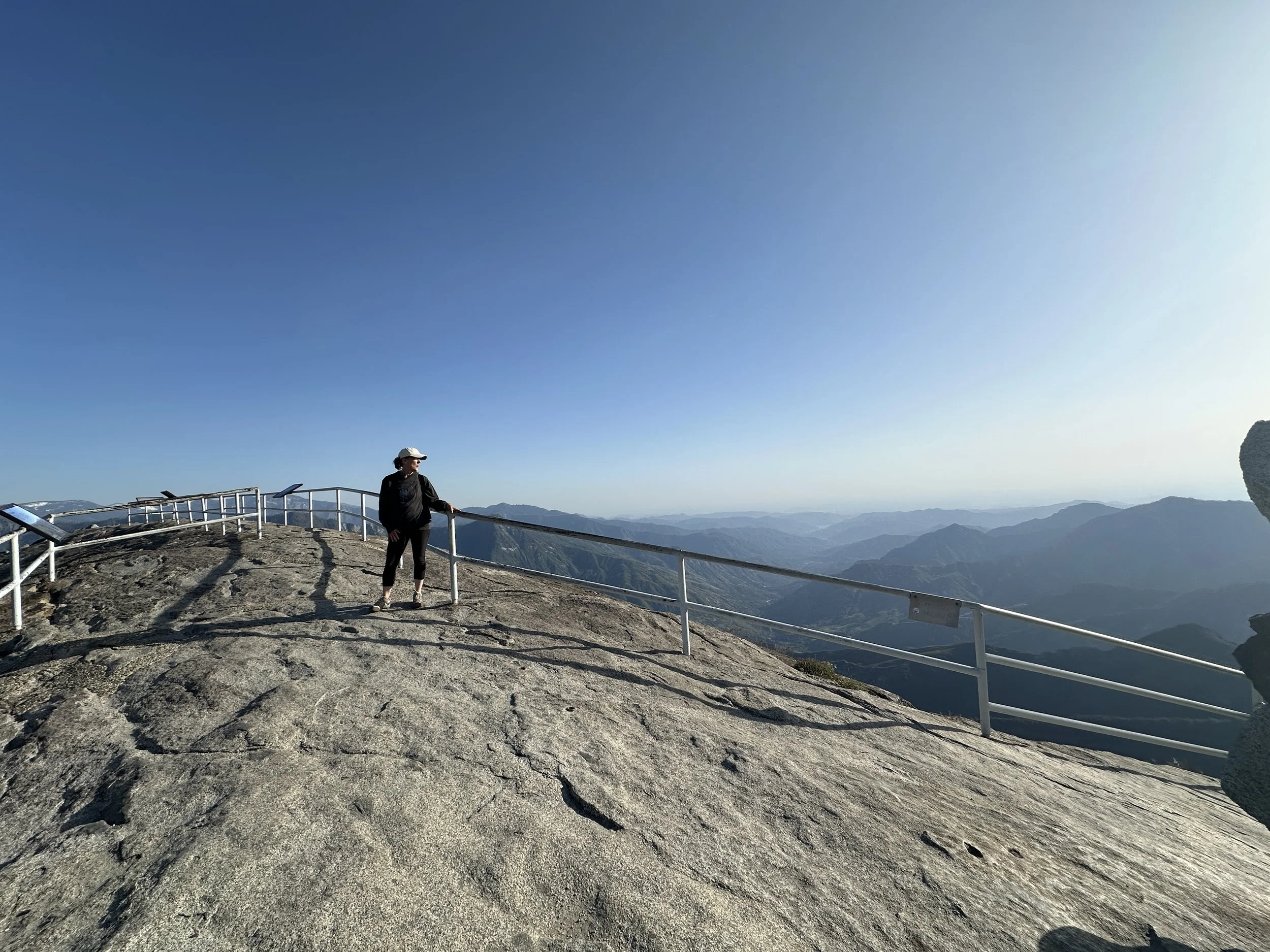
Top of Moro Rock - Sequoia National Park
Kings Canyon and Sequoia National Parks
We visited both Kings Canyon and Sequoia National Parks from May 22 -24, 2024. Kings Canyon National Park is adjacent to Sequoia National Park located in California’s Sierra Nevada mountains. The park is known for being home to the largest remaining sequoia trees, notably the gigantic General Grant tree. The terrain is similar to Yosemite Valley with deep valleys, skyscraping trees and distinctive rock out cropping’s.
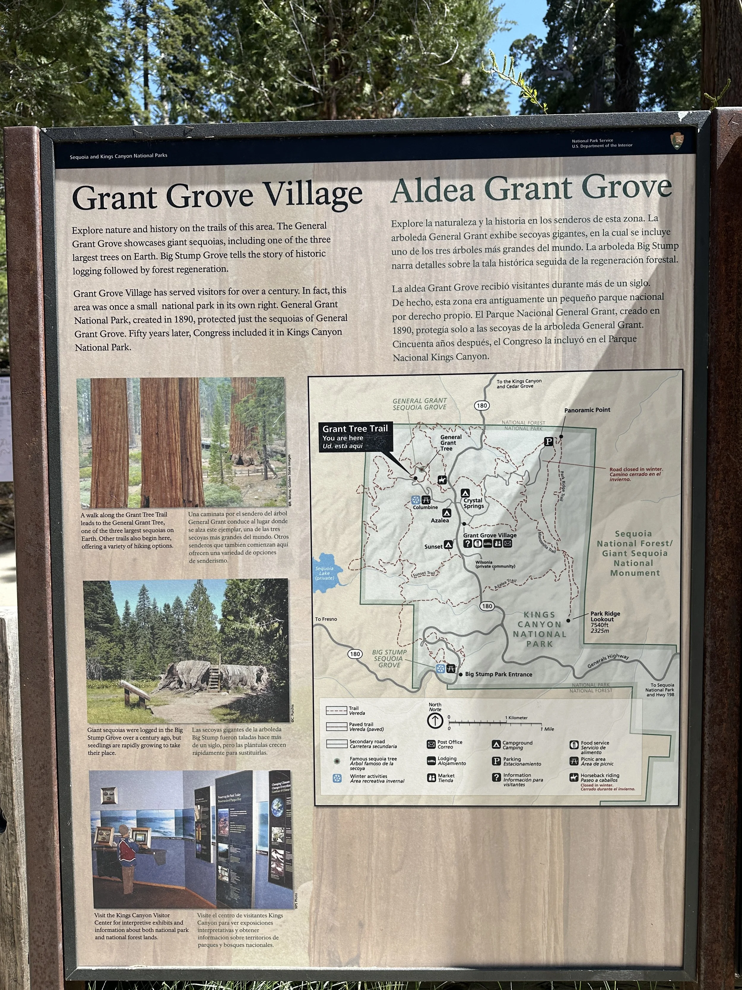
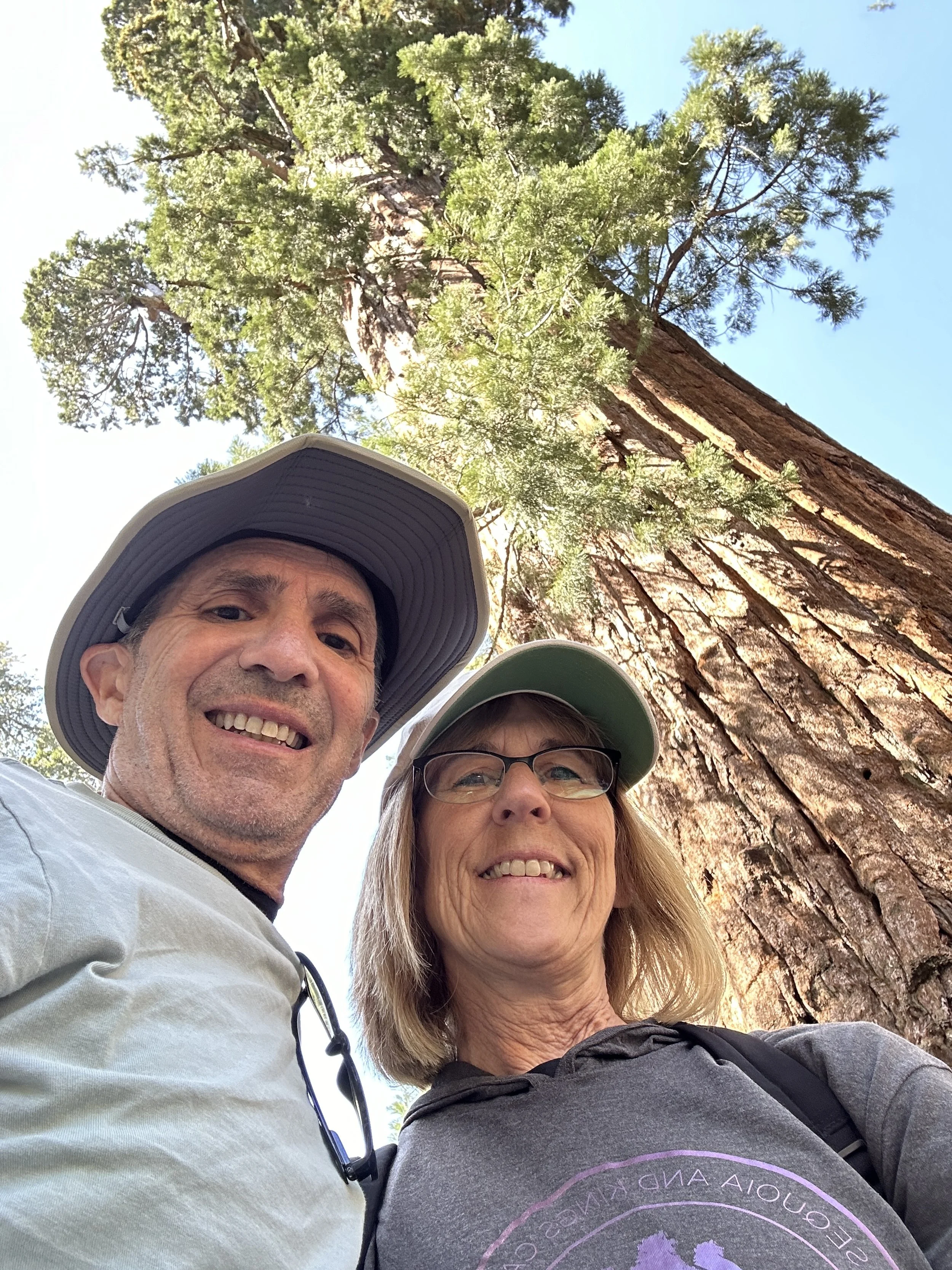
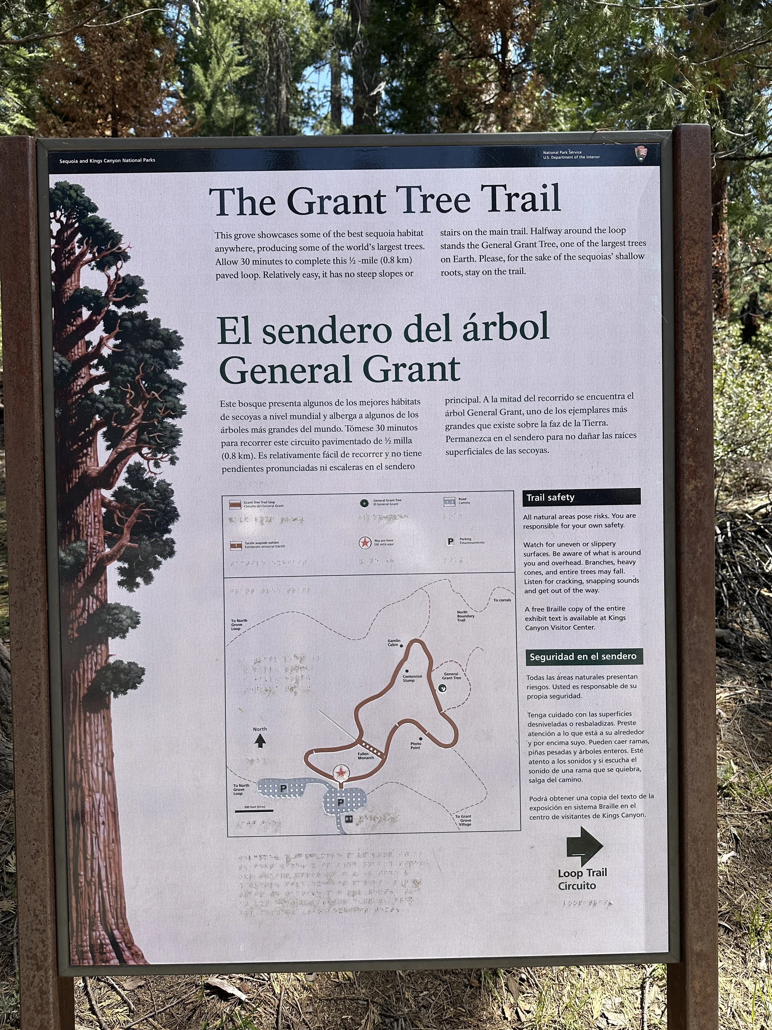
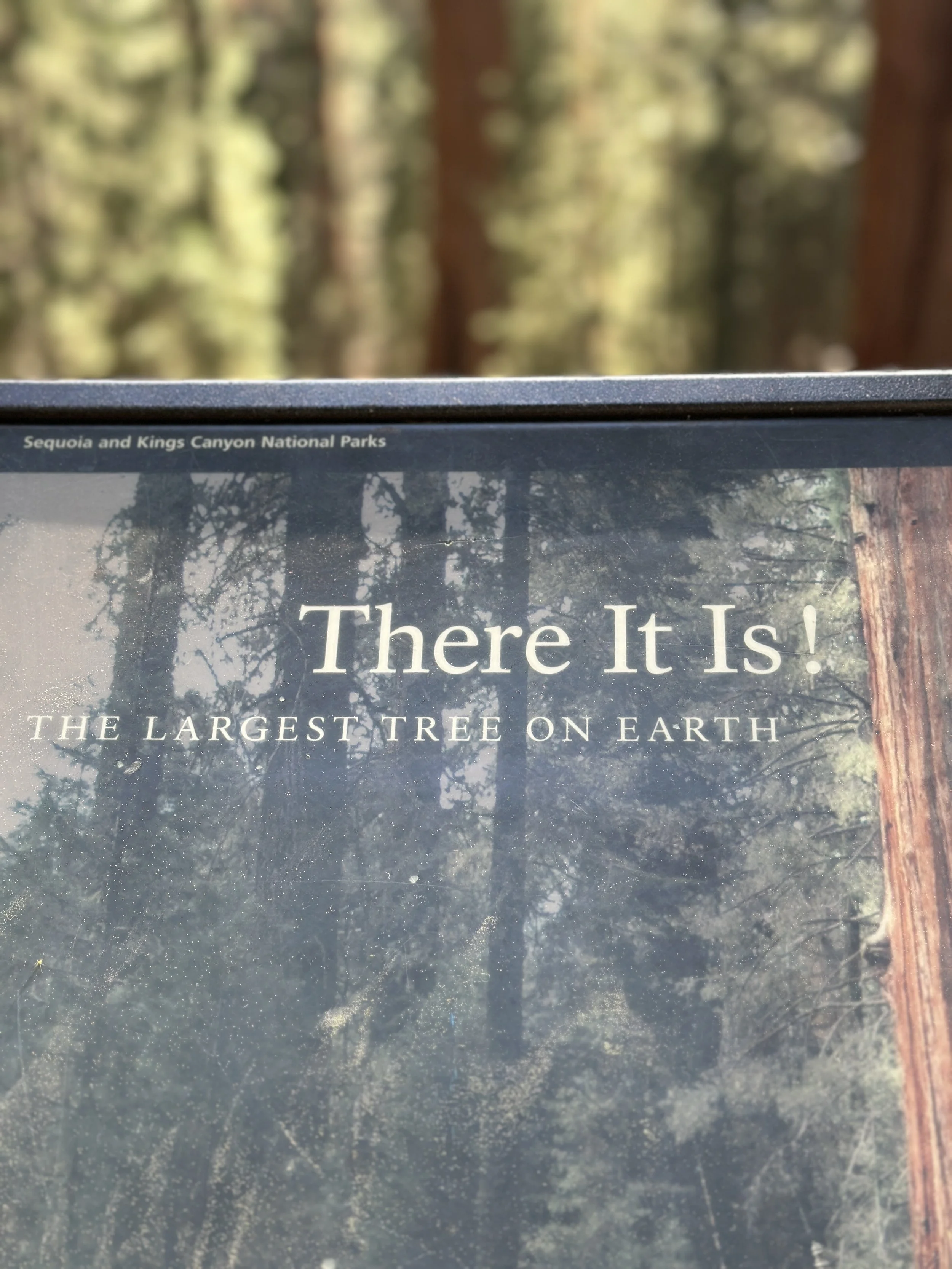
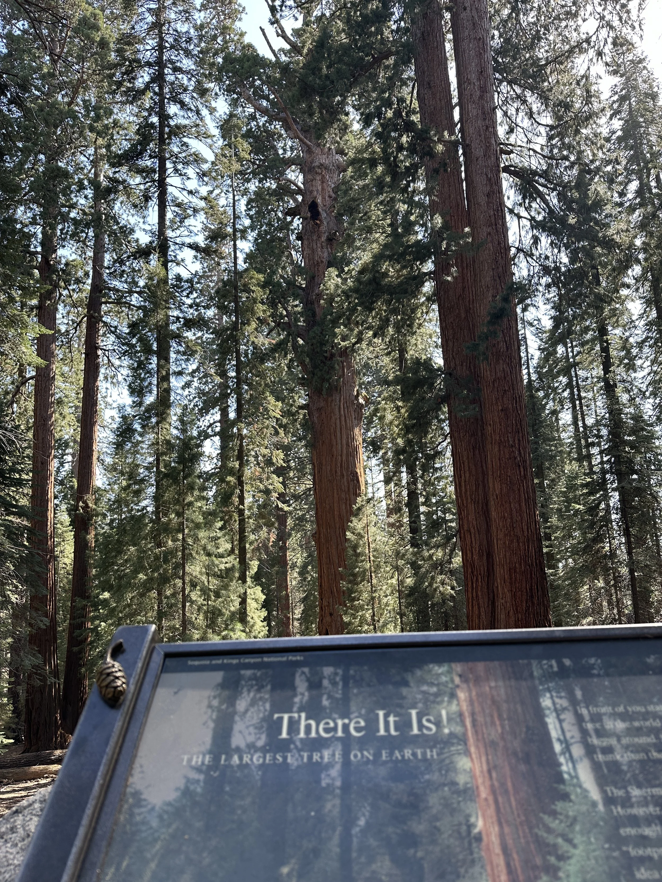
The visitor center is Kings Canyon is one of the best we have experienced so far in any of the National Parks. Very informative, with exhibits, movie’s and plenty of Rangers to answer questions and provide advice on trails and hiking. There was a nice restaurant where we had lunch. After lunch we walked through the sequoia trees including the stopping to admire the second biggest tree on earth by mass; the General Grant Tree.
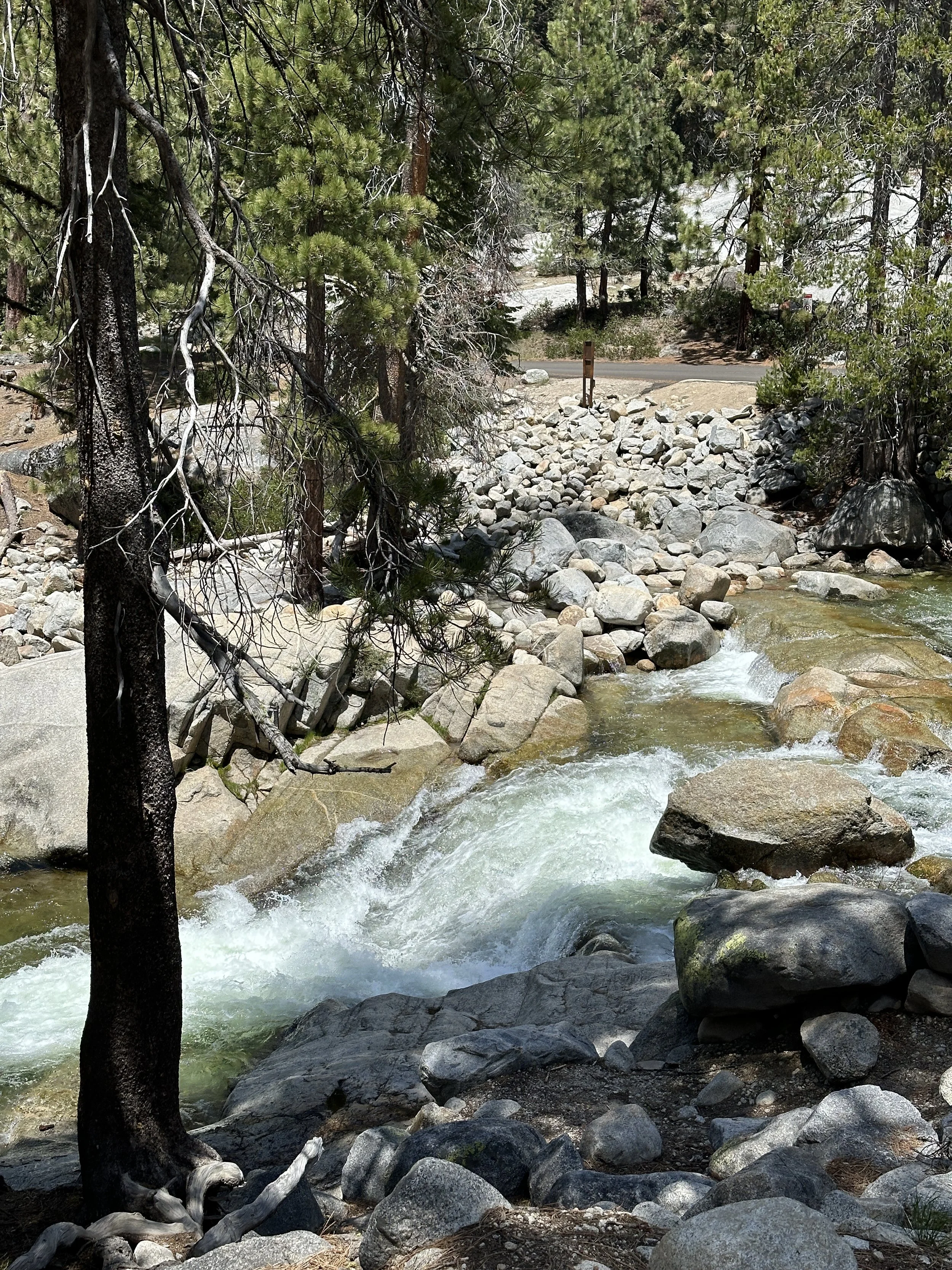
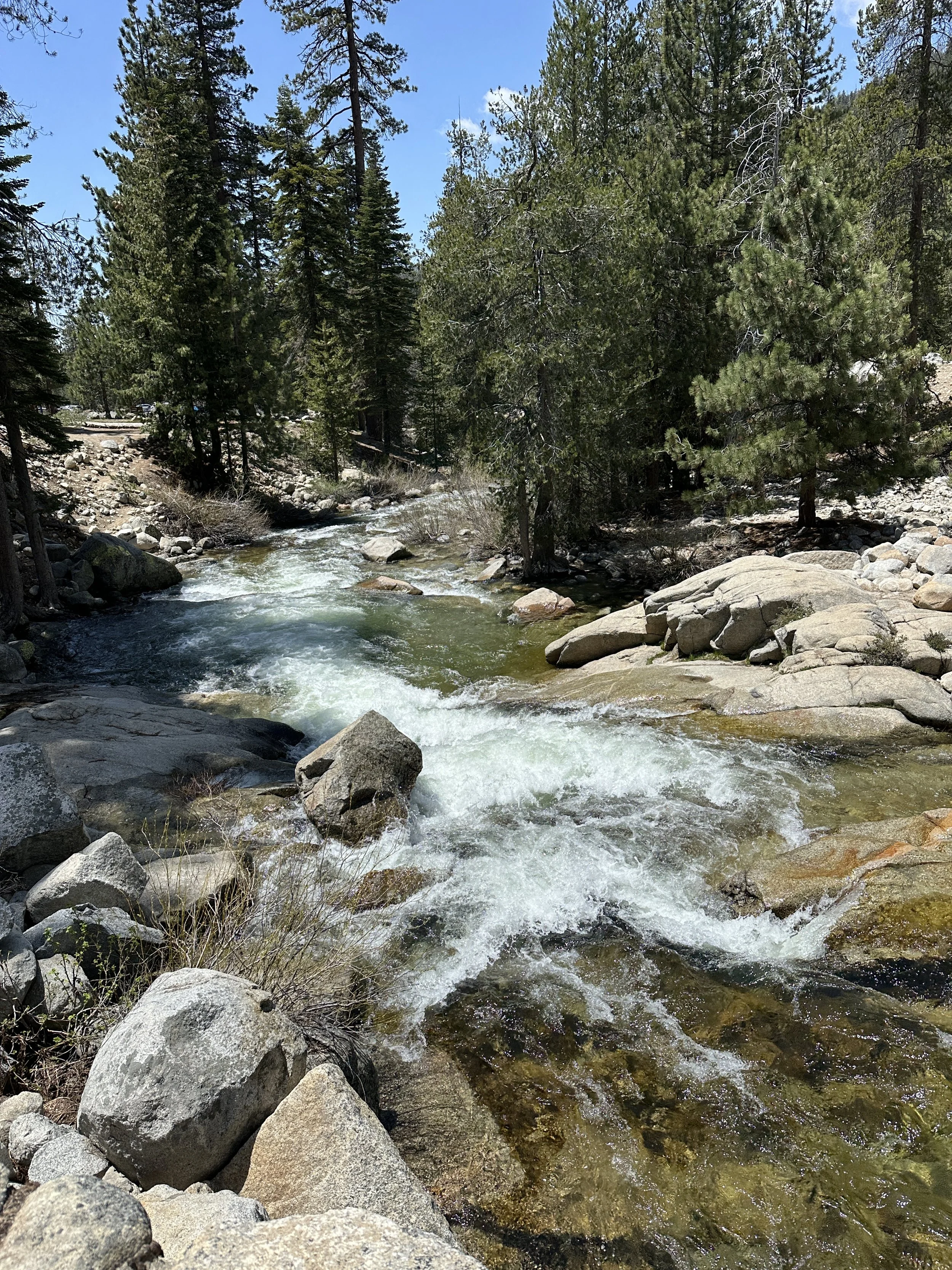
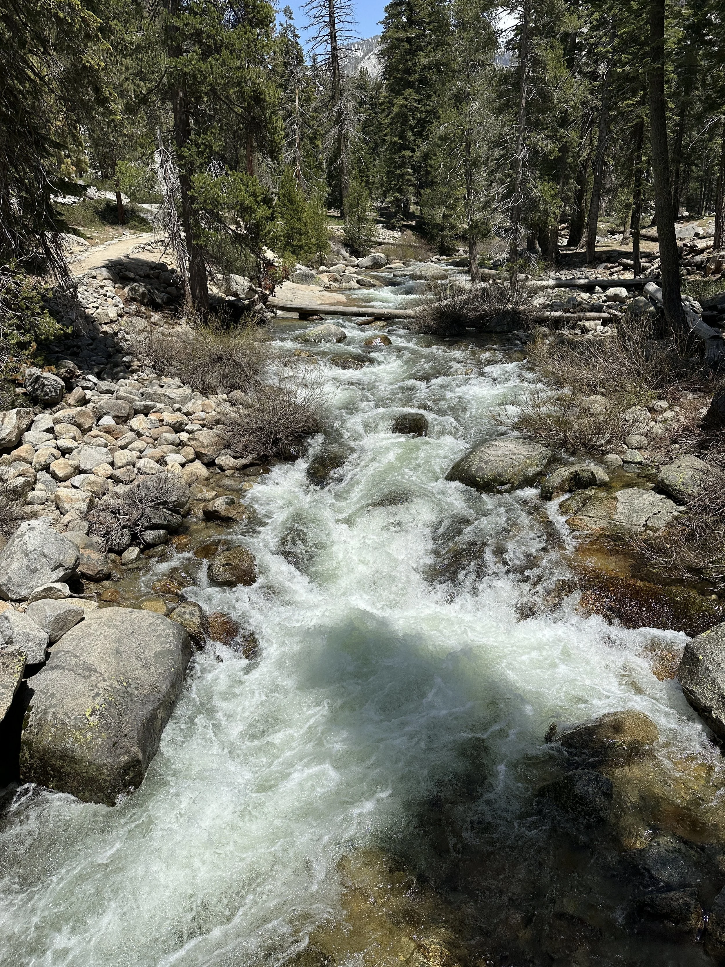
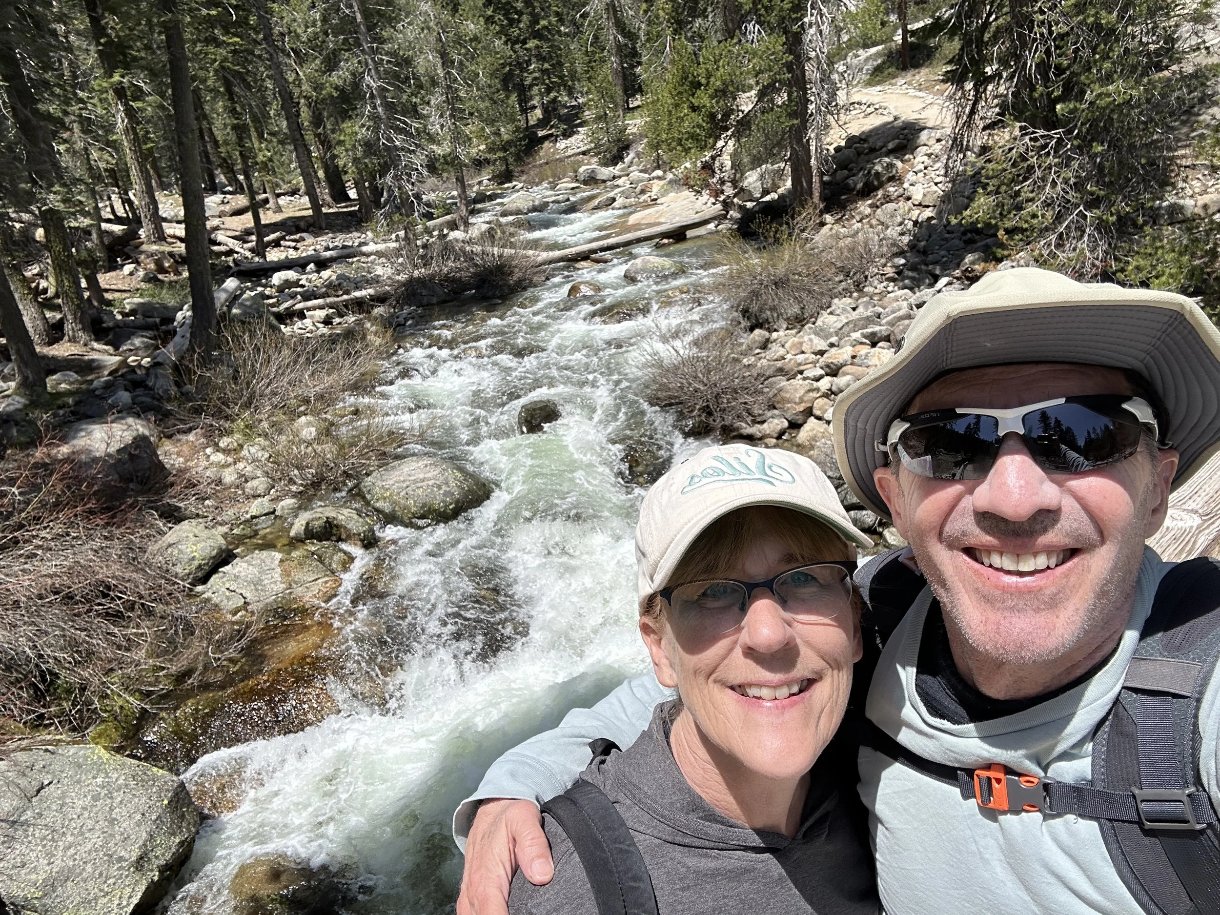
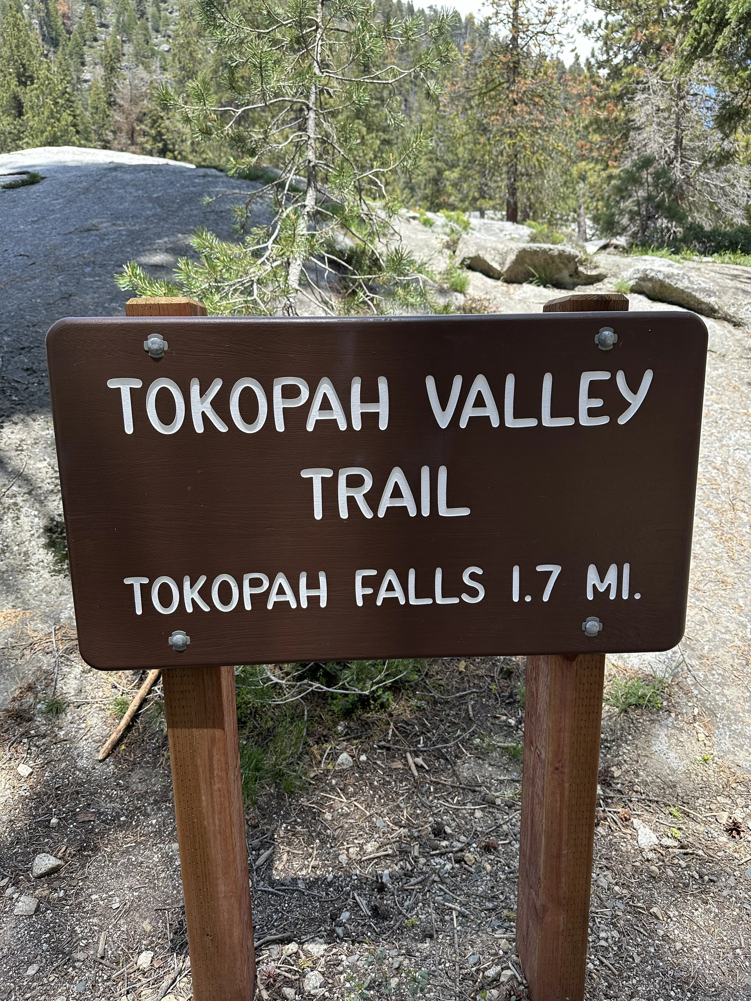
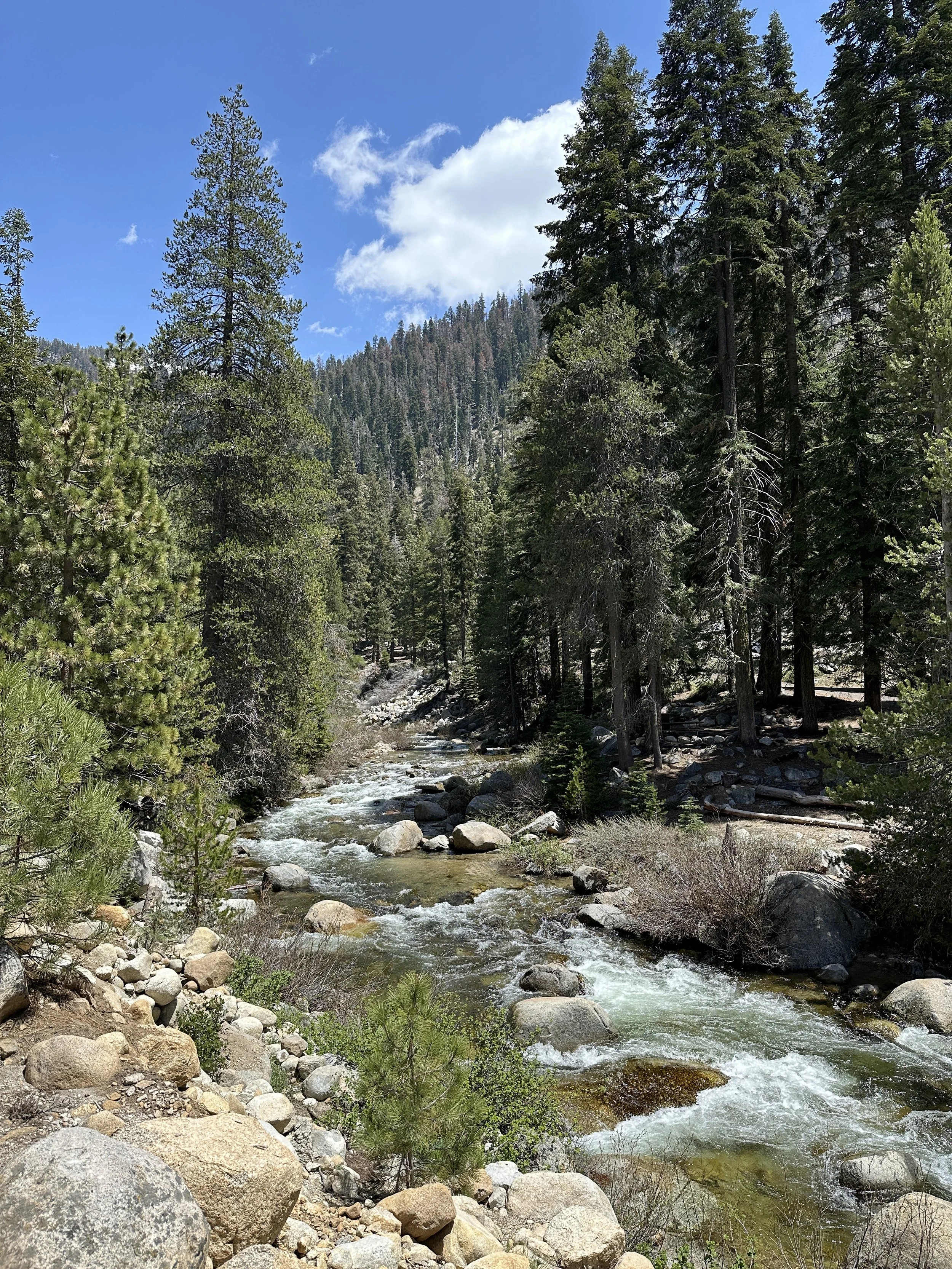
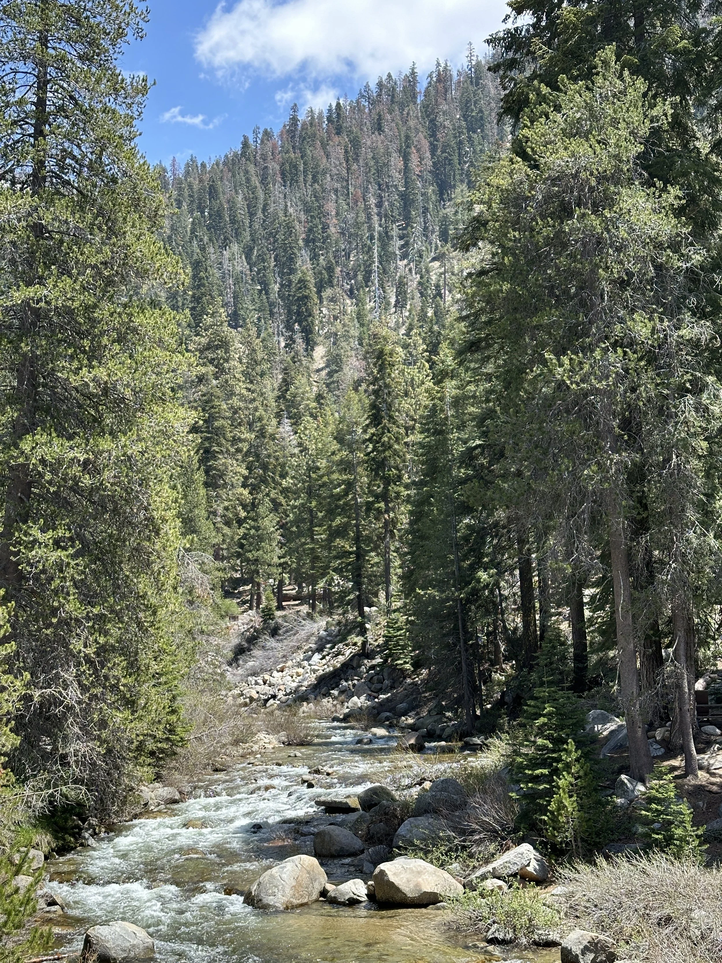
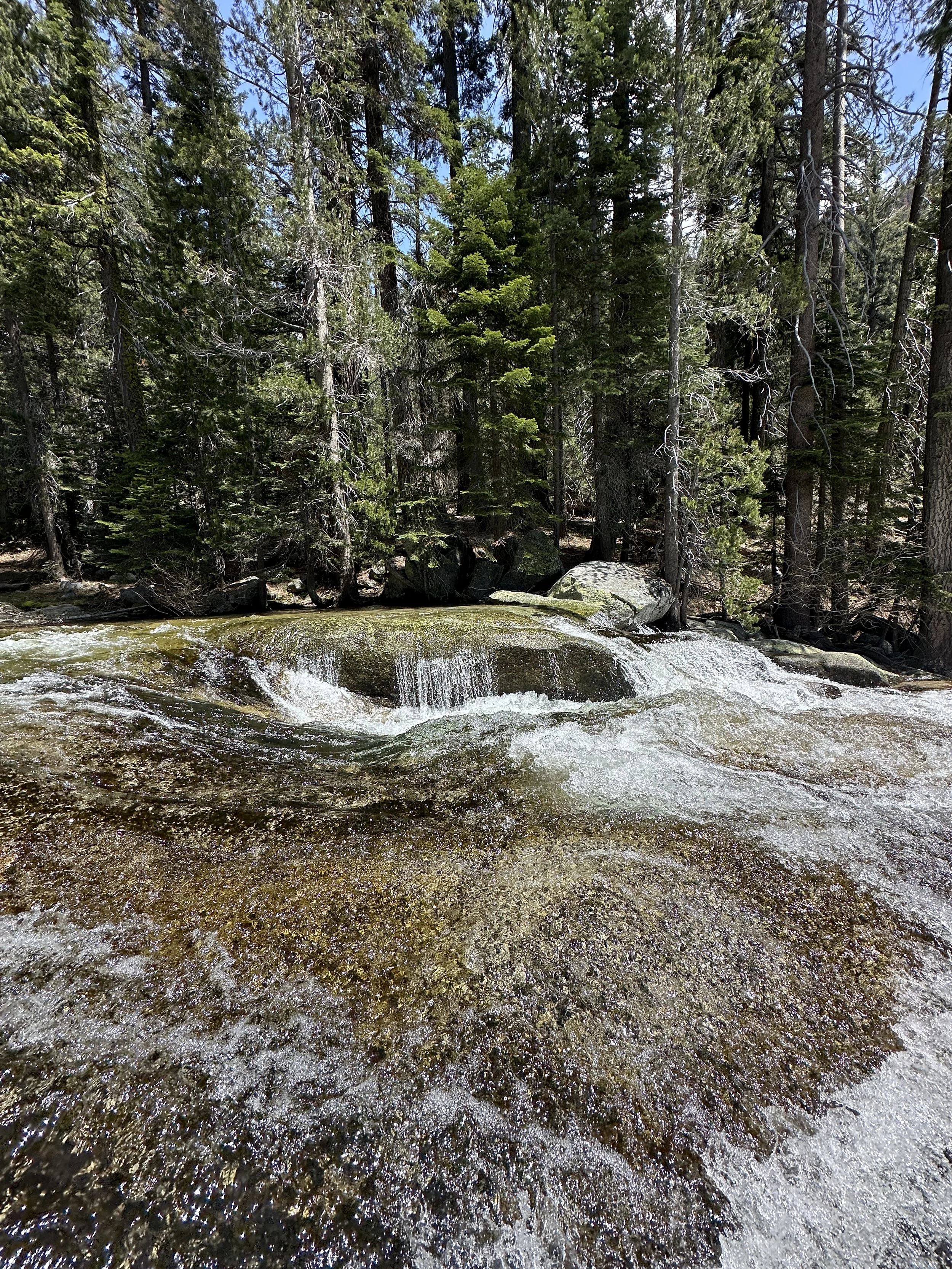
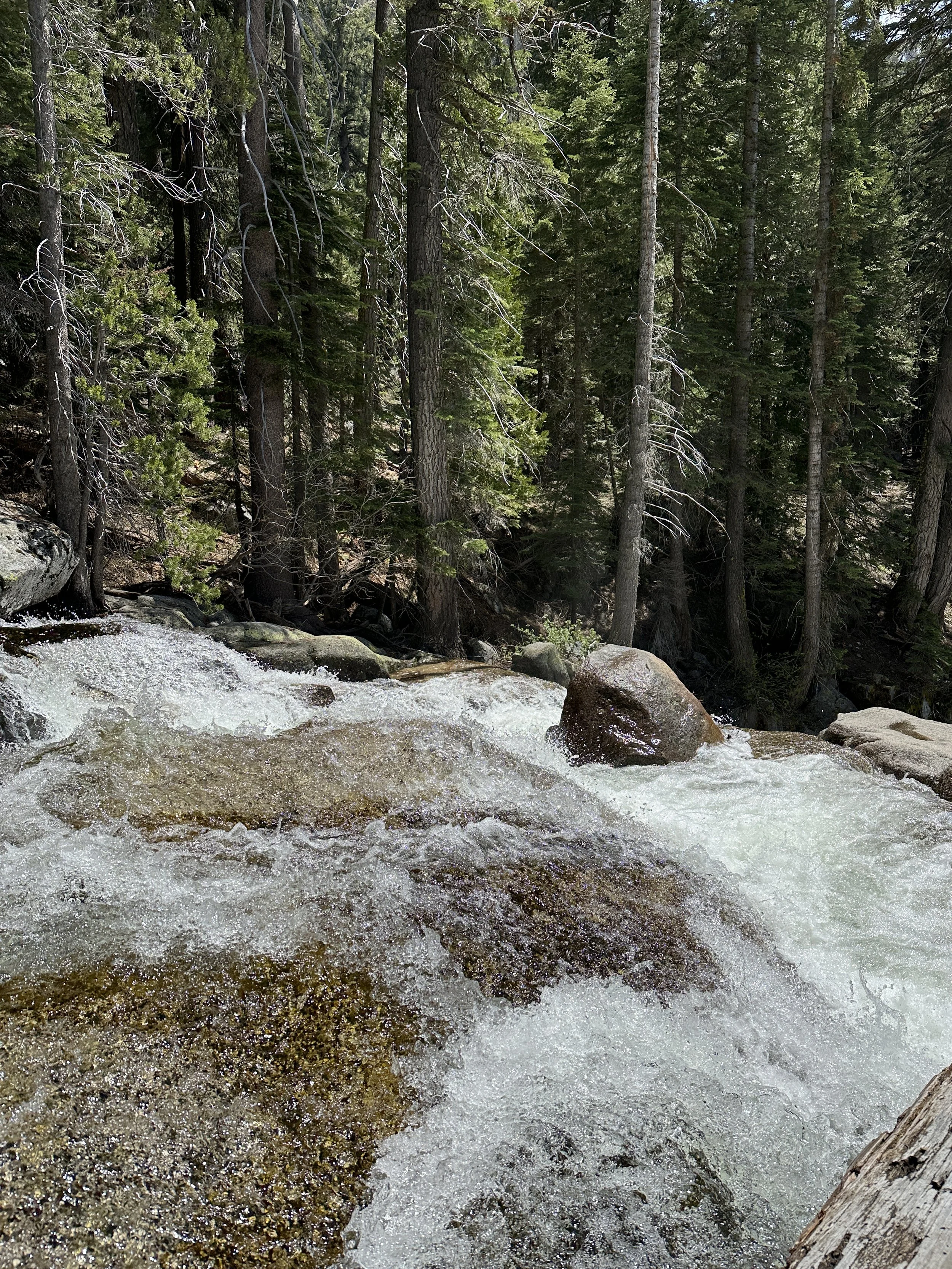
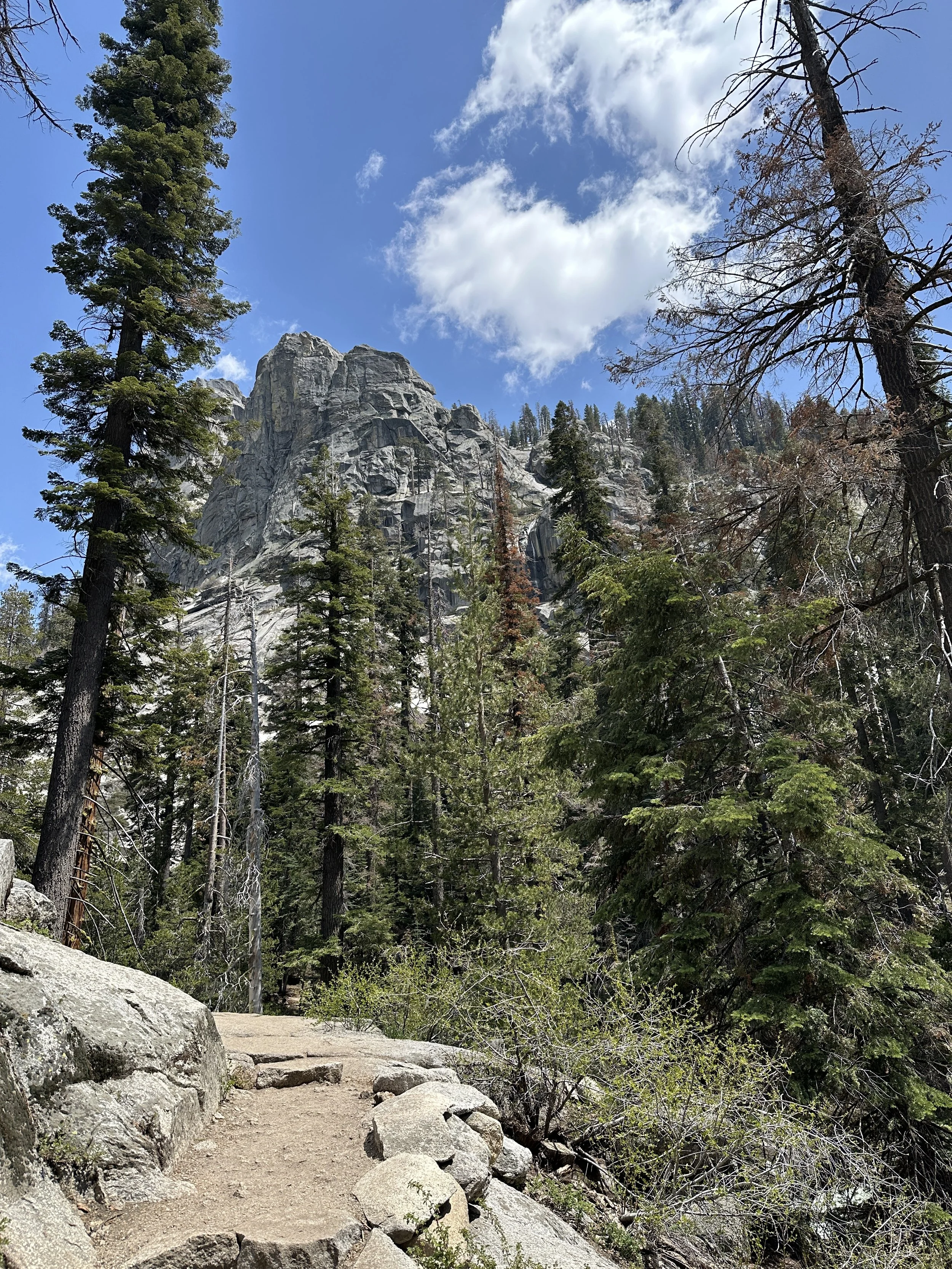
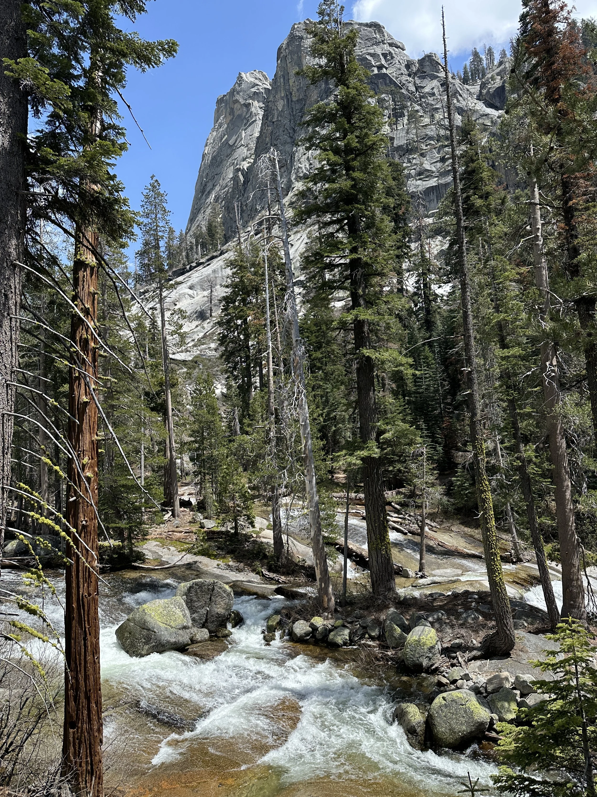
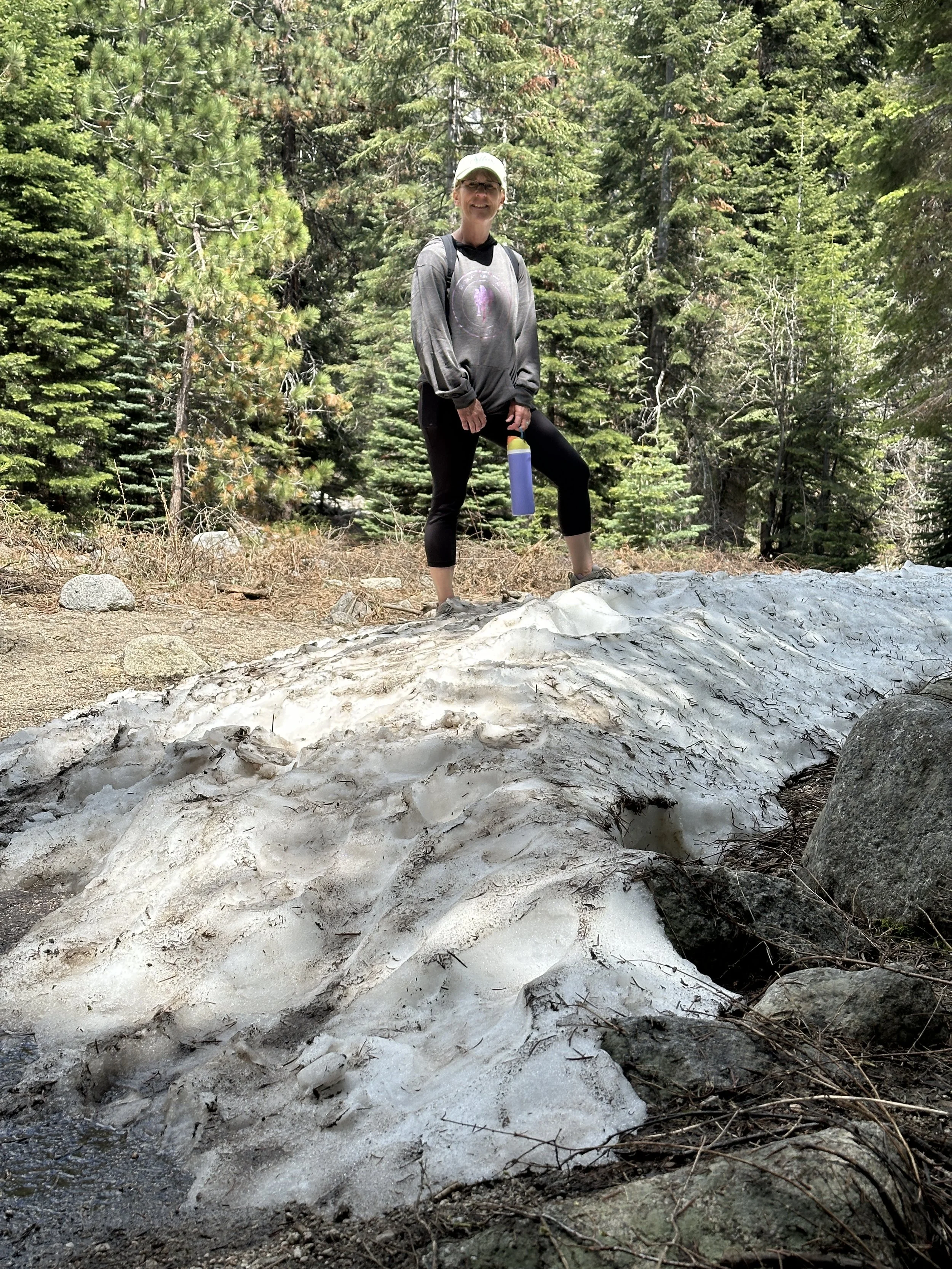
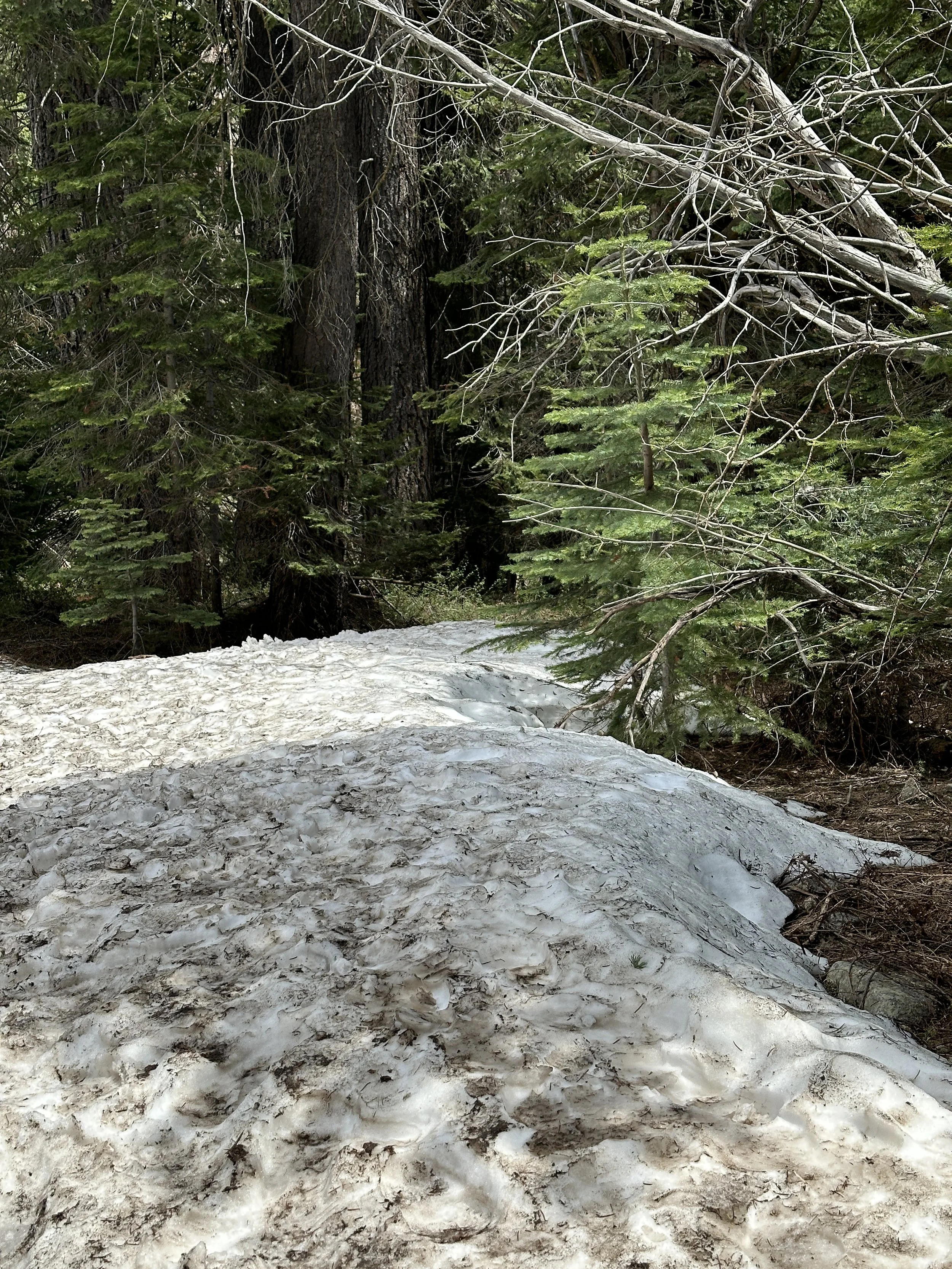
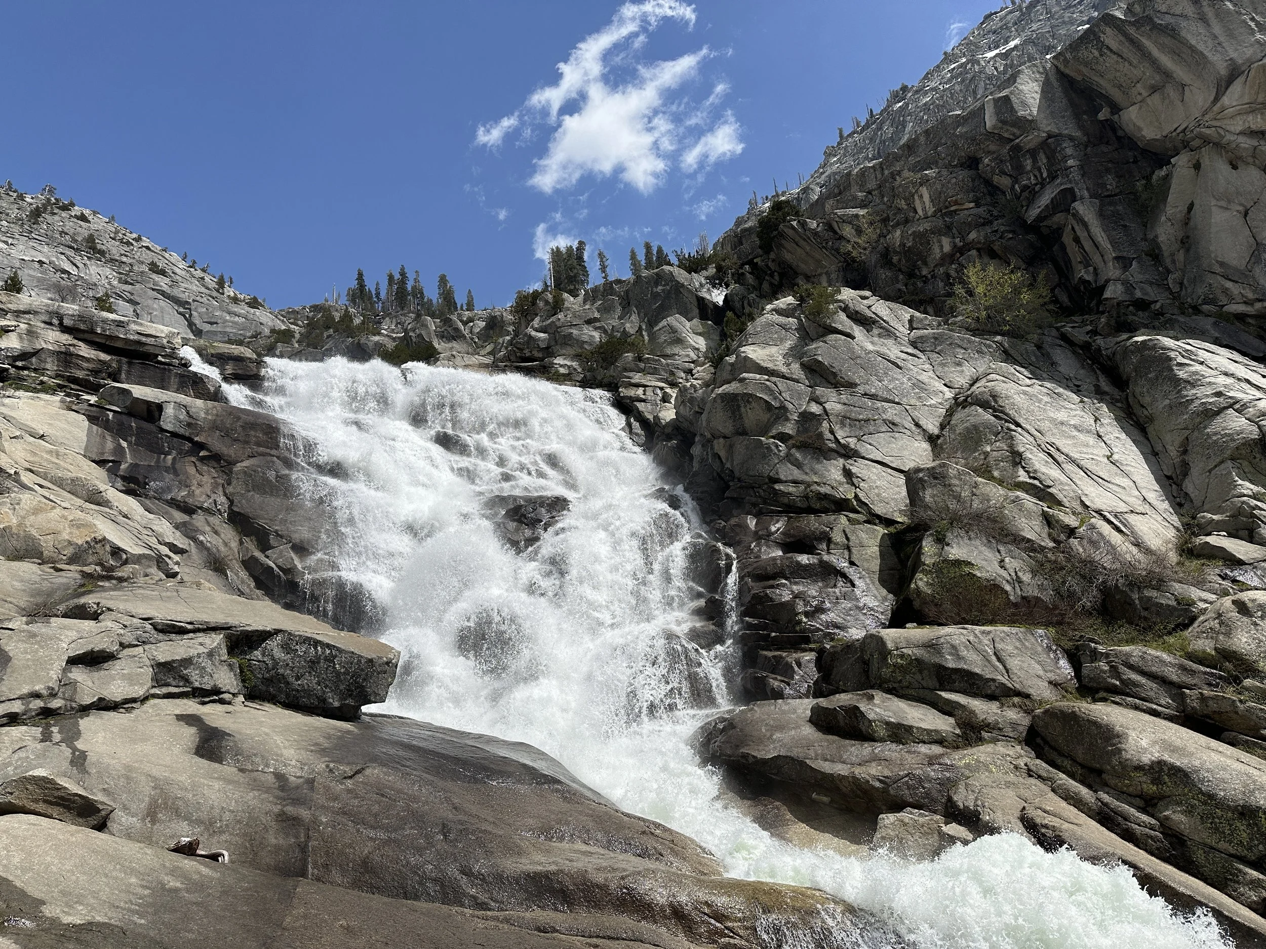
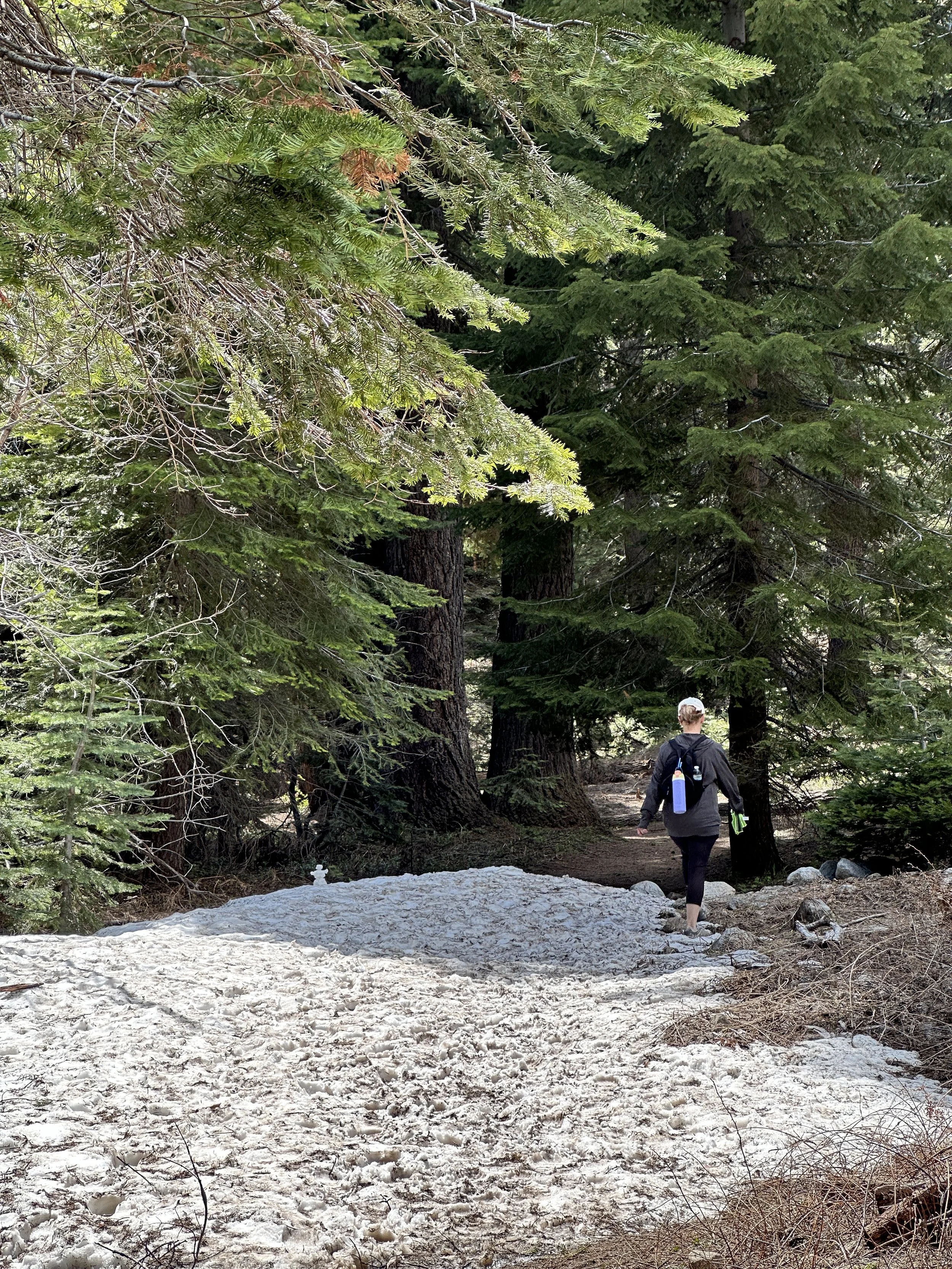
Next, we were off to Sequoia National Park where we spent the remainder of our time for these two parks. We drove to the trail head for the hike to Tokopah Falls. This was an easy 4.8 mile hike round trip to the falls and back. The hike was beautiful among the pine trees and running long the Marble Fork of the Kaweah River. Once you reach the Falls the awesome power of the water flowing down the mountain is an amazing site and sound. The water roars down the Falls. Some great pictures of the falls are listed below.
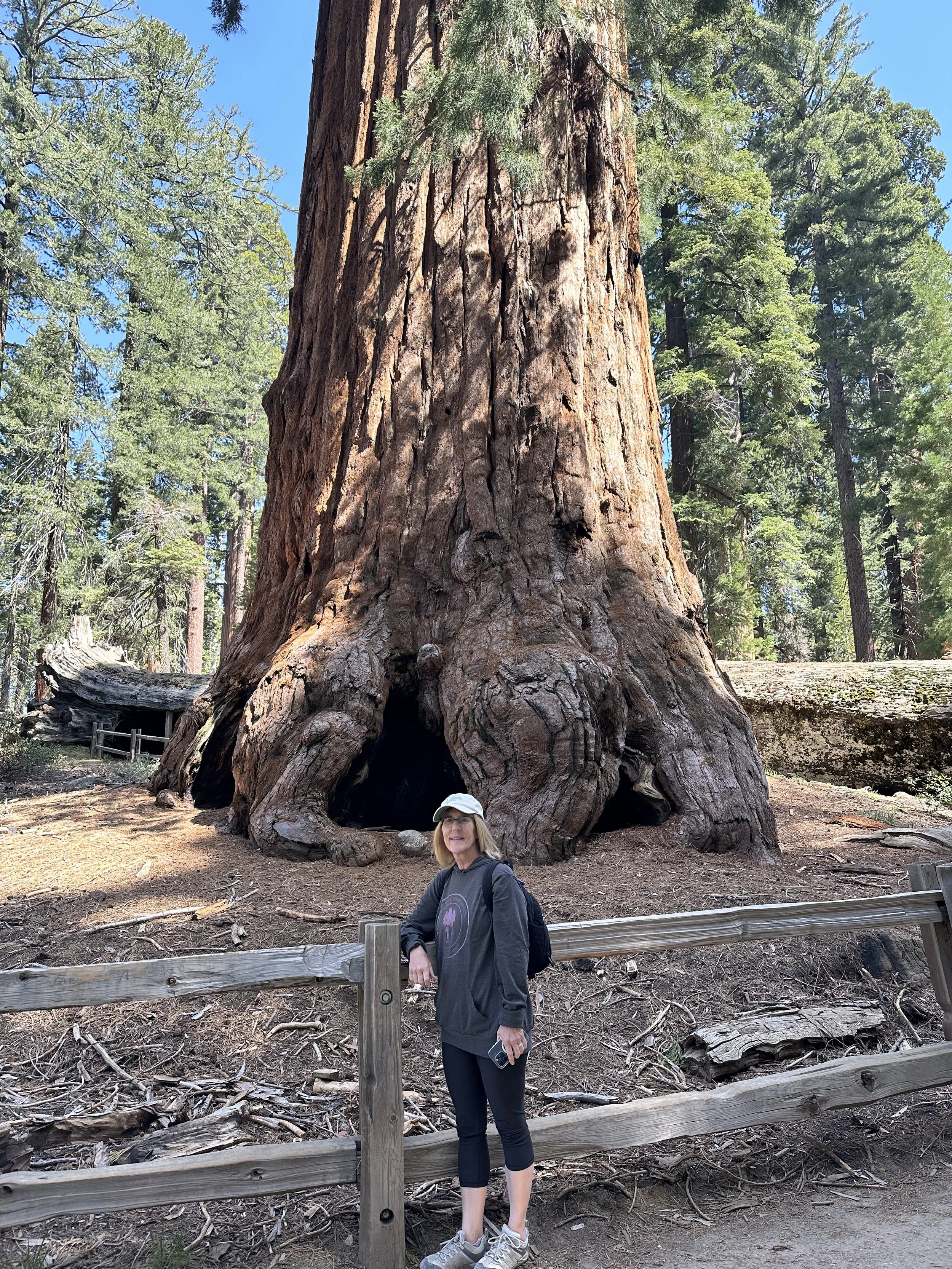
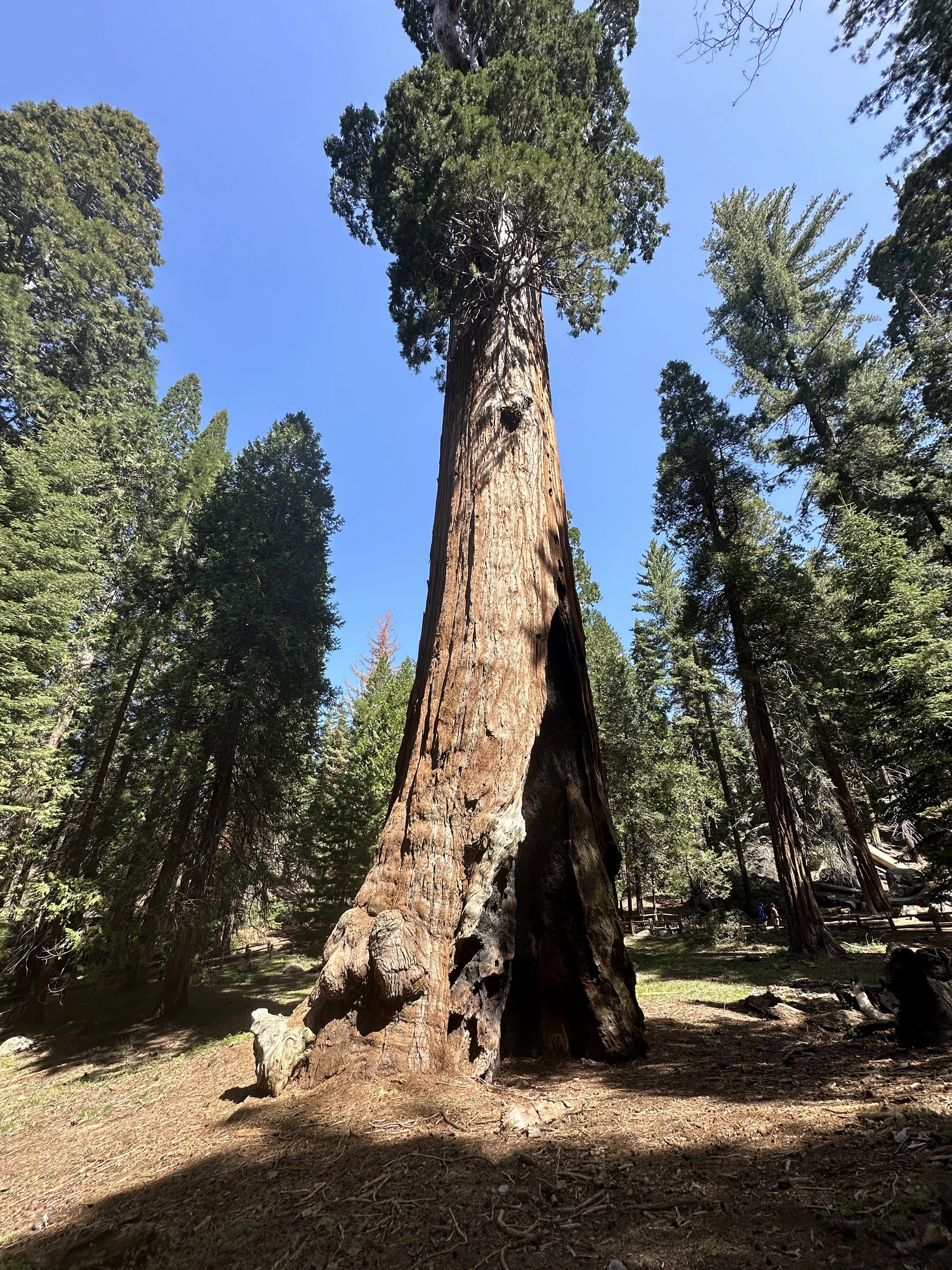
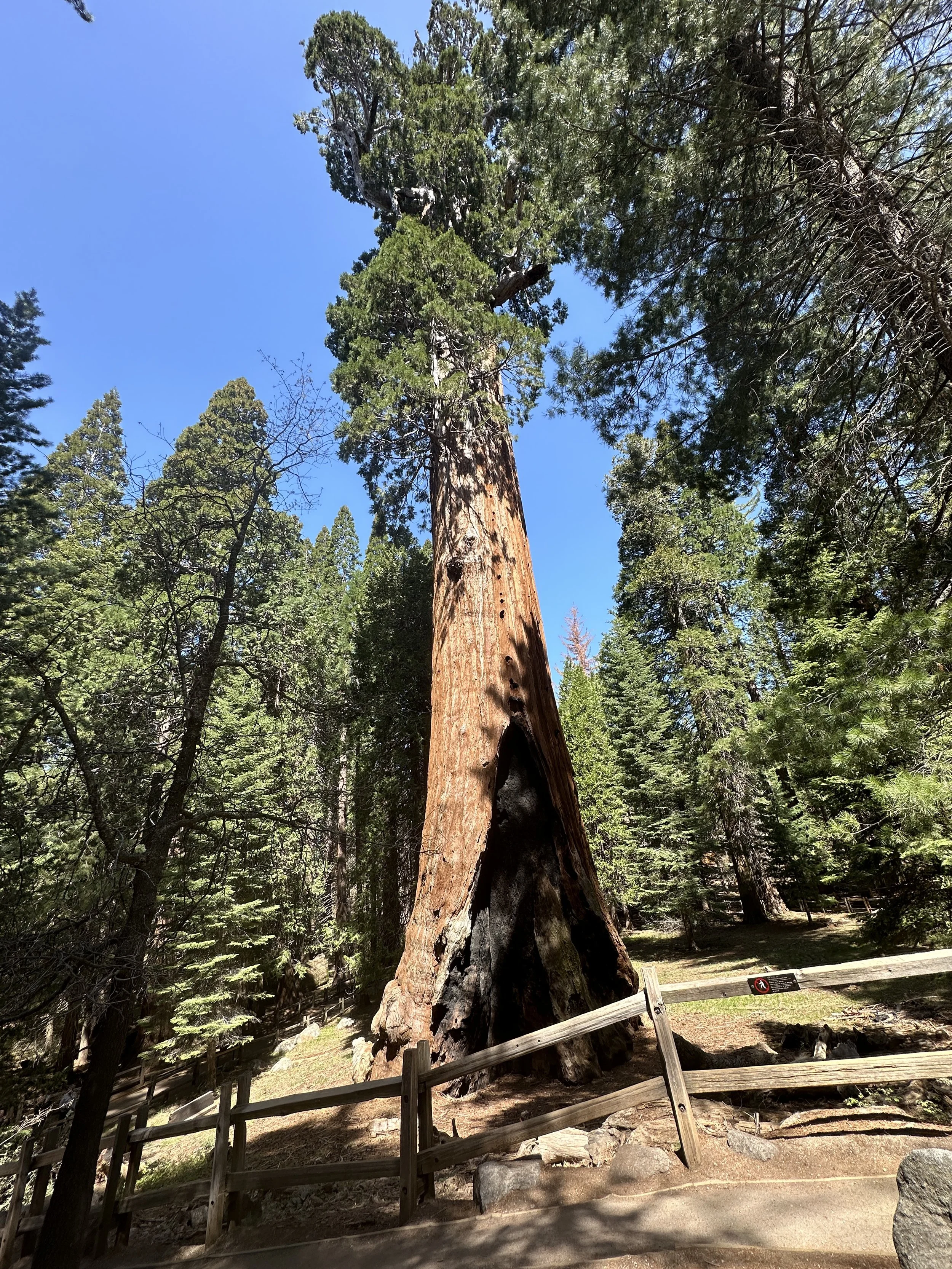
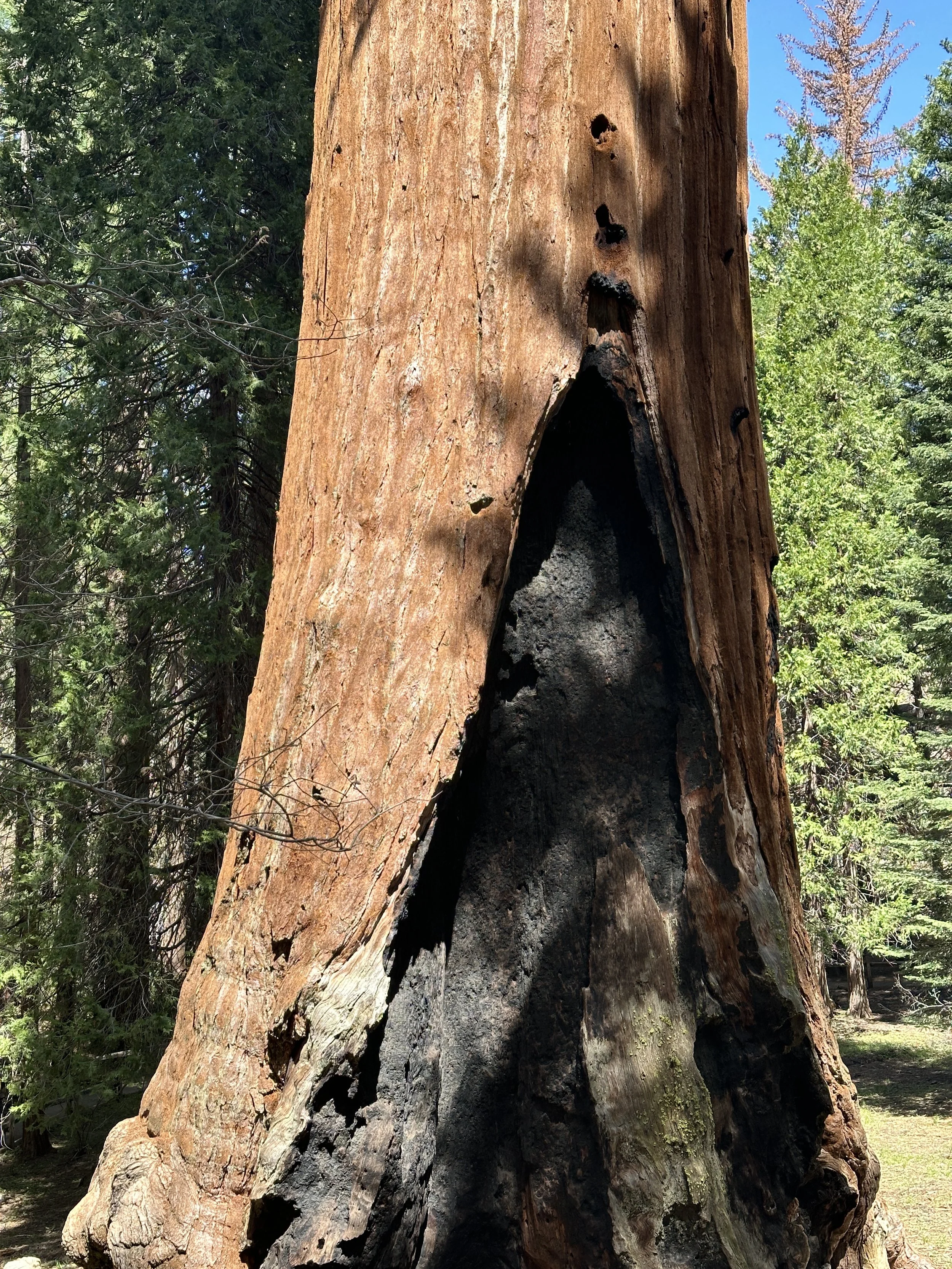
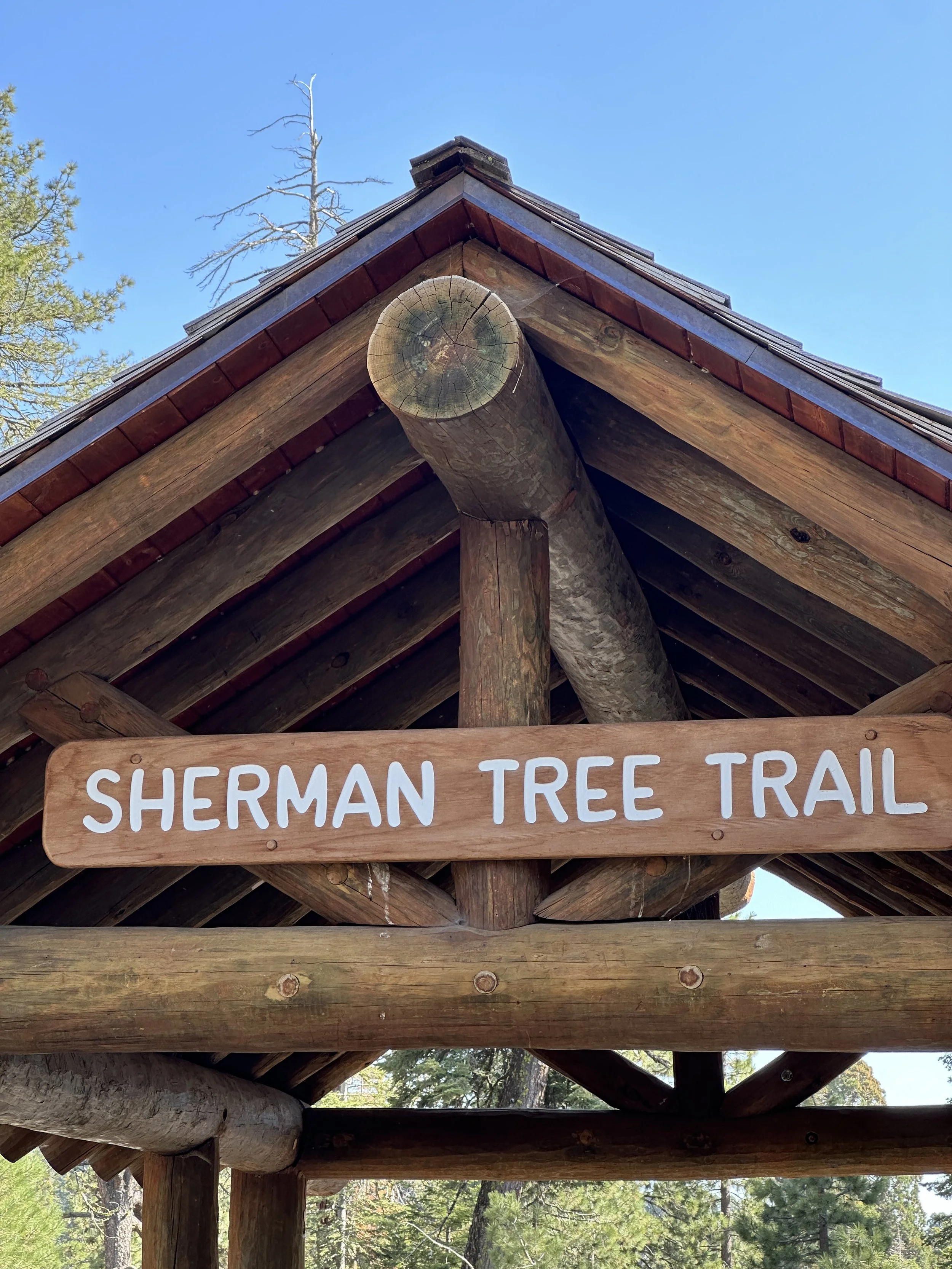
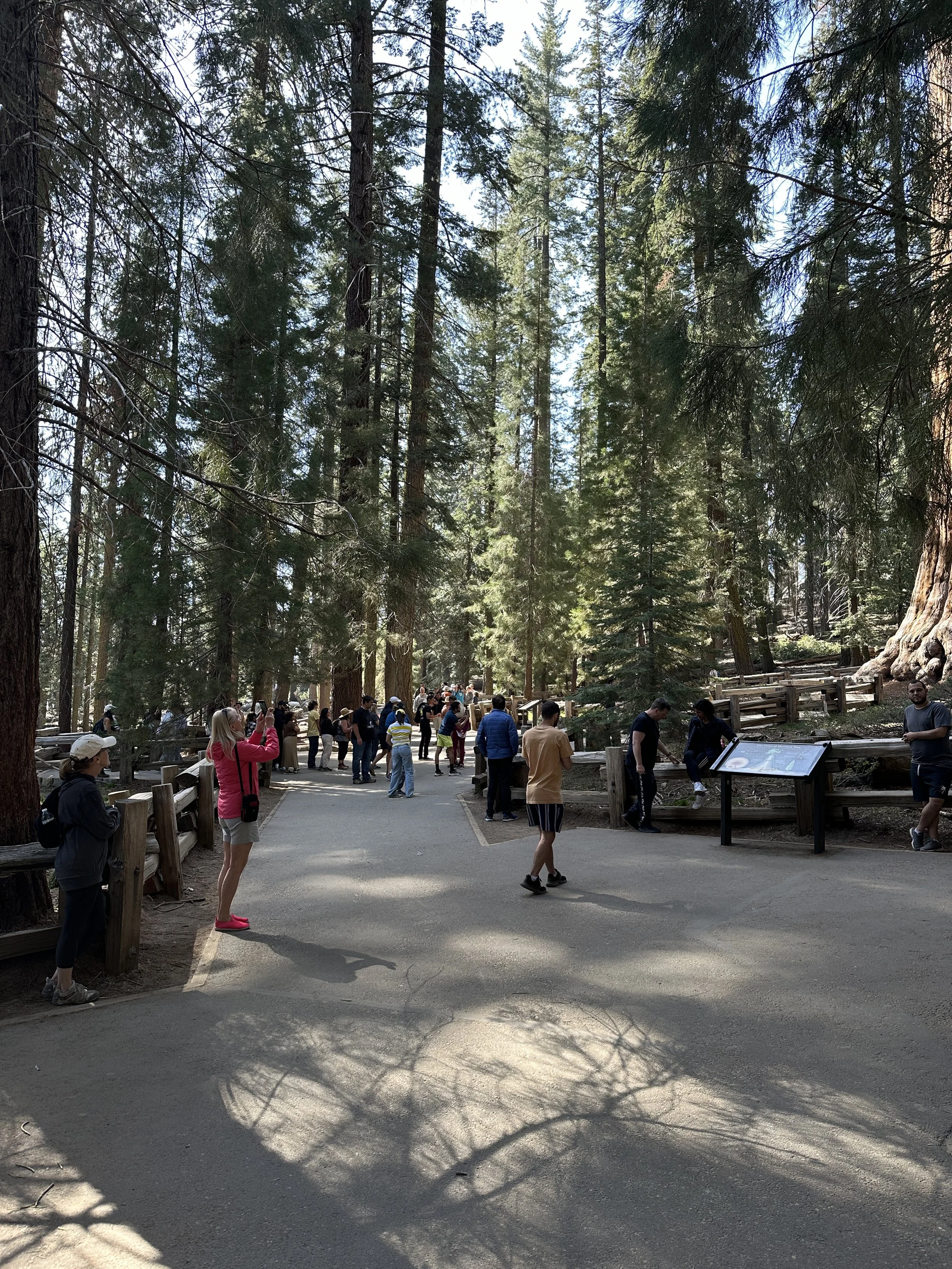
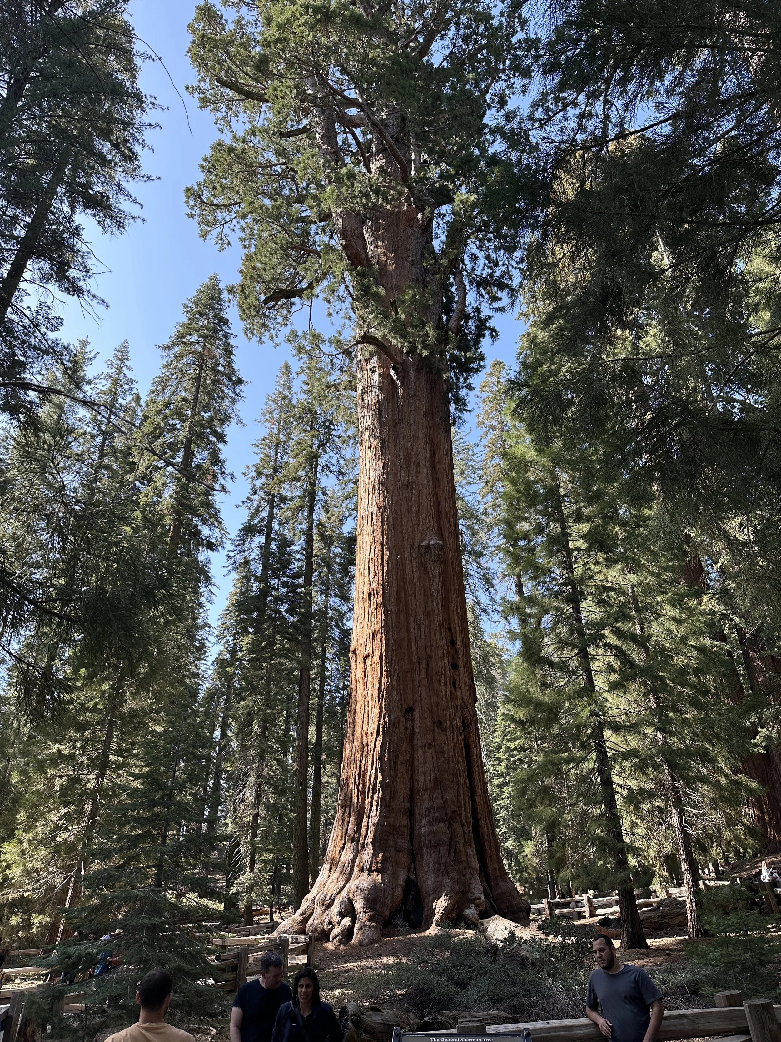
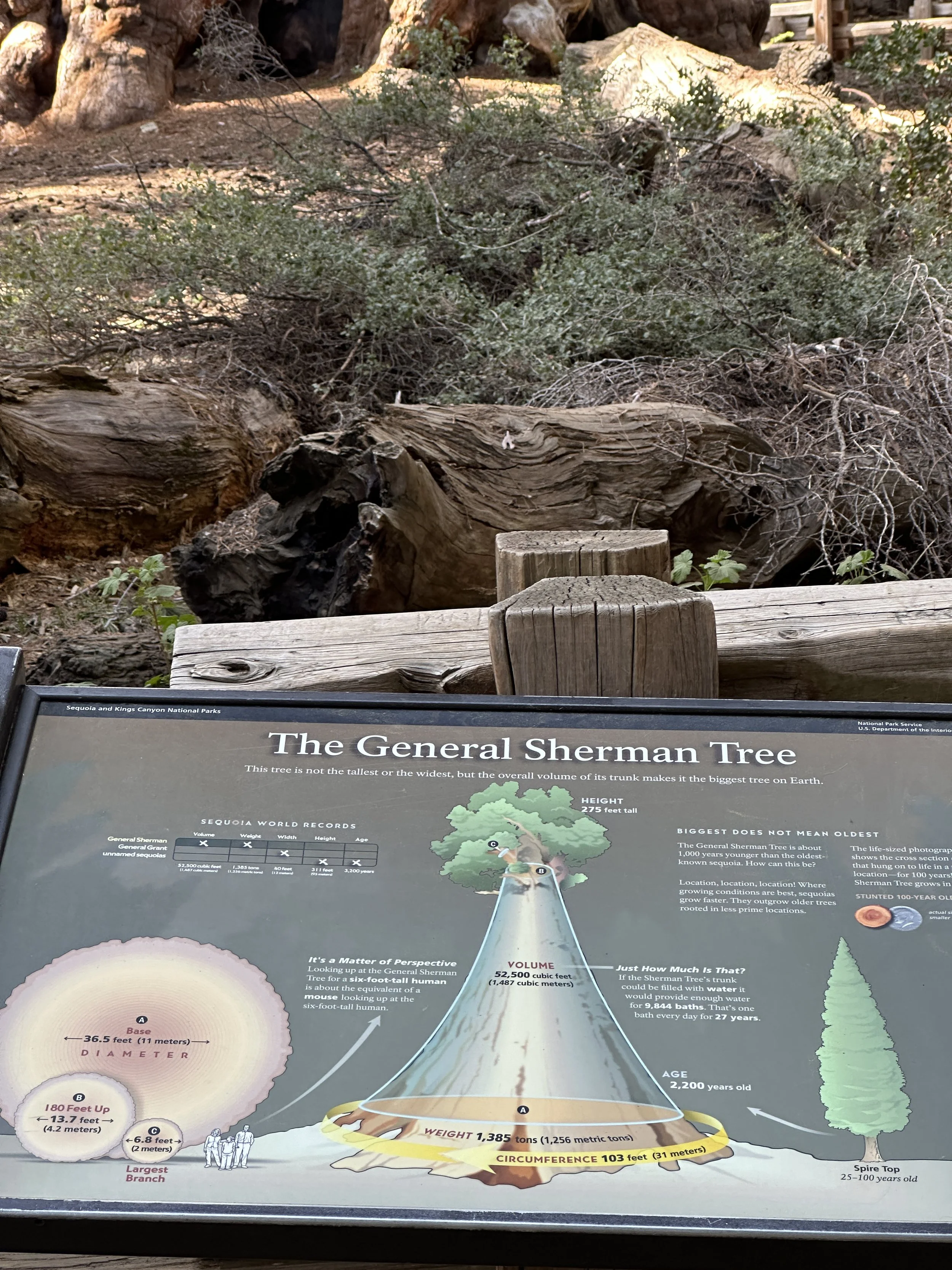
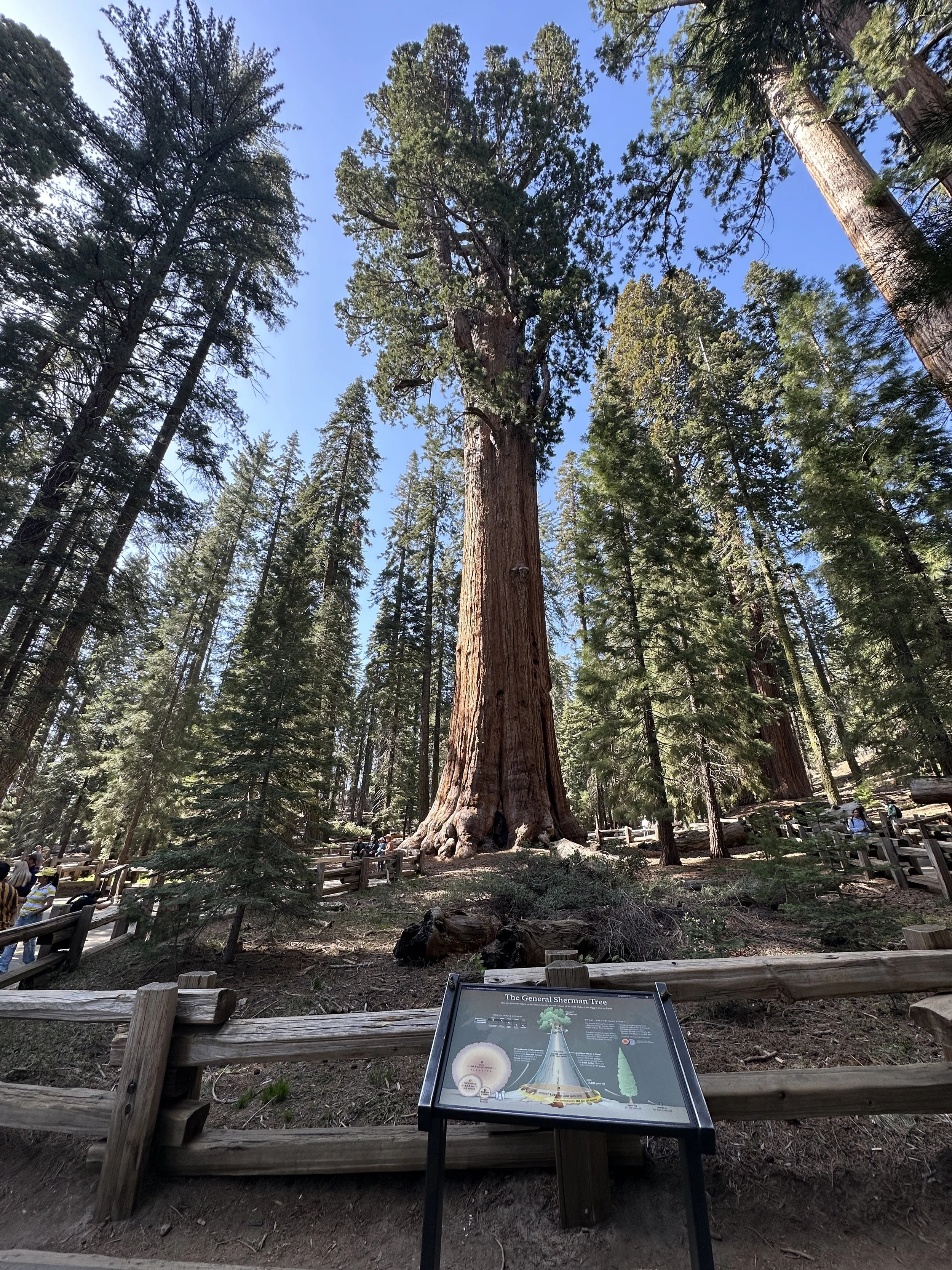
After the Tokopah Falls hike, we drove to the Sherman Tree Trail to walk down to the General Sherman Sequoia Tree, which is the largest (by volume) living organism on Earth. The tree is 52,500 cubic feet and weighs 1,385 tons. It’s also 40 feet wide, 311 feet high and 3,200 years old. Its really something to see and there are constant crowds staring at General Sherman and taking pictures in front of it.
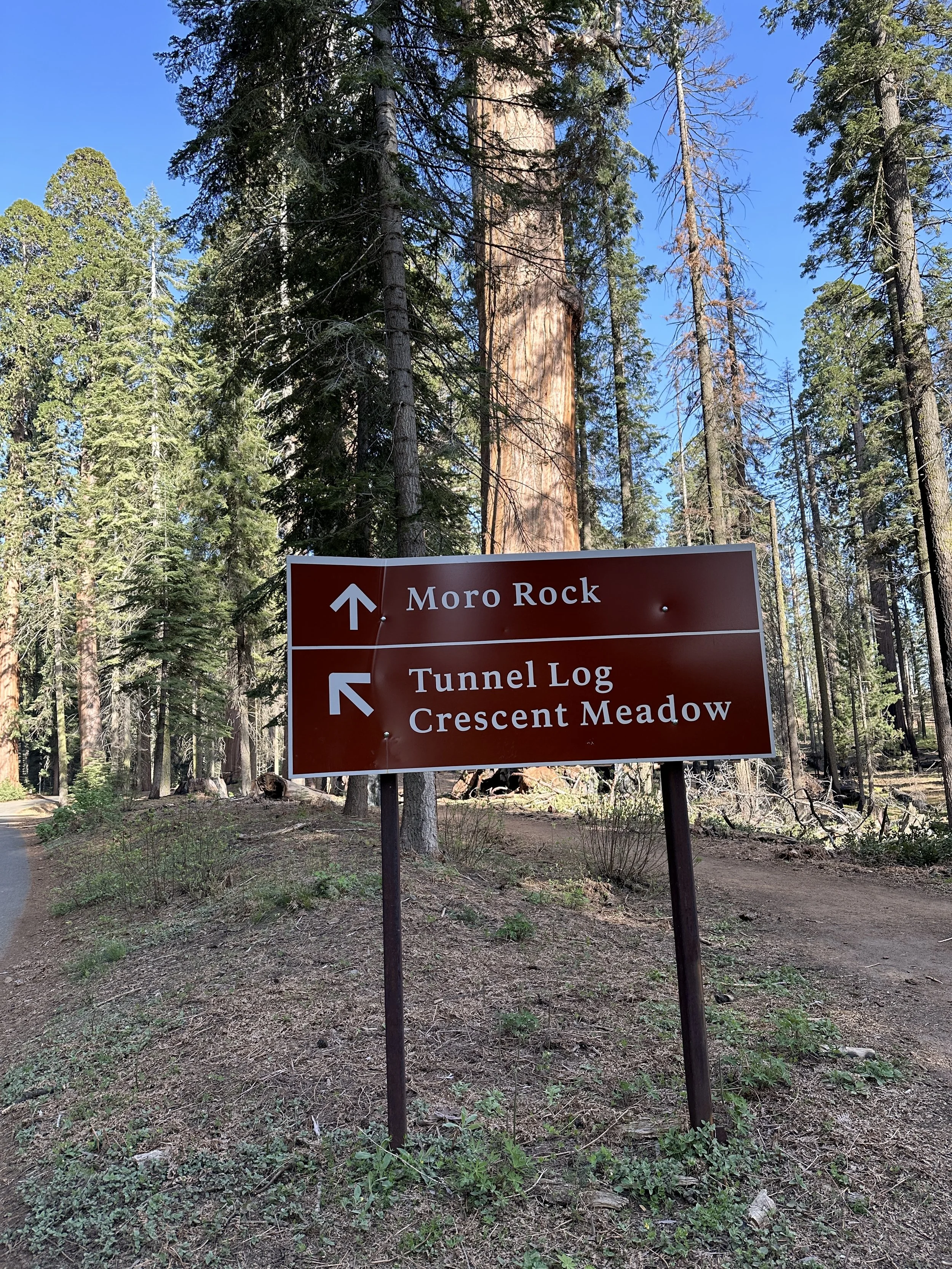
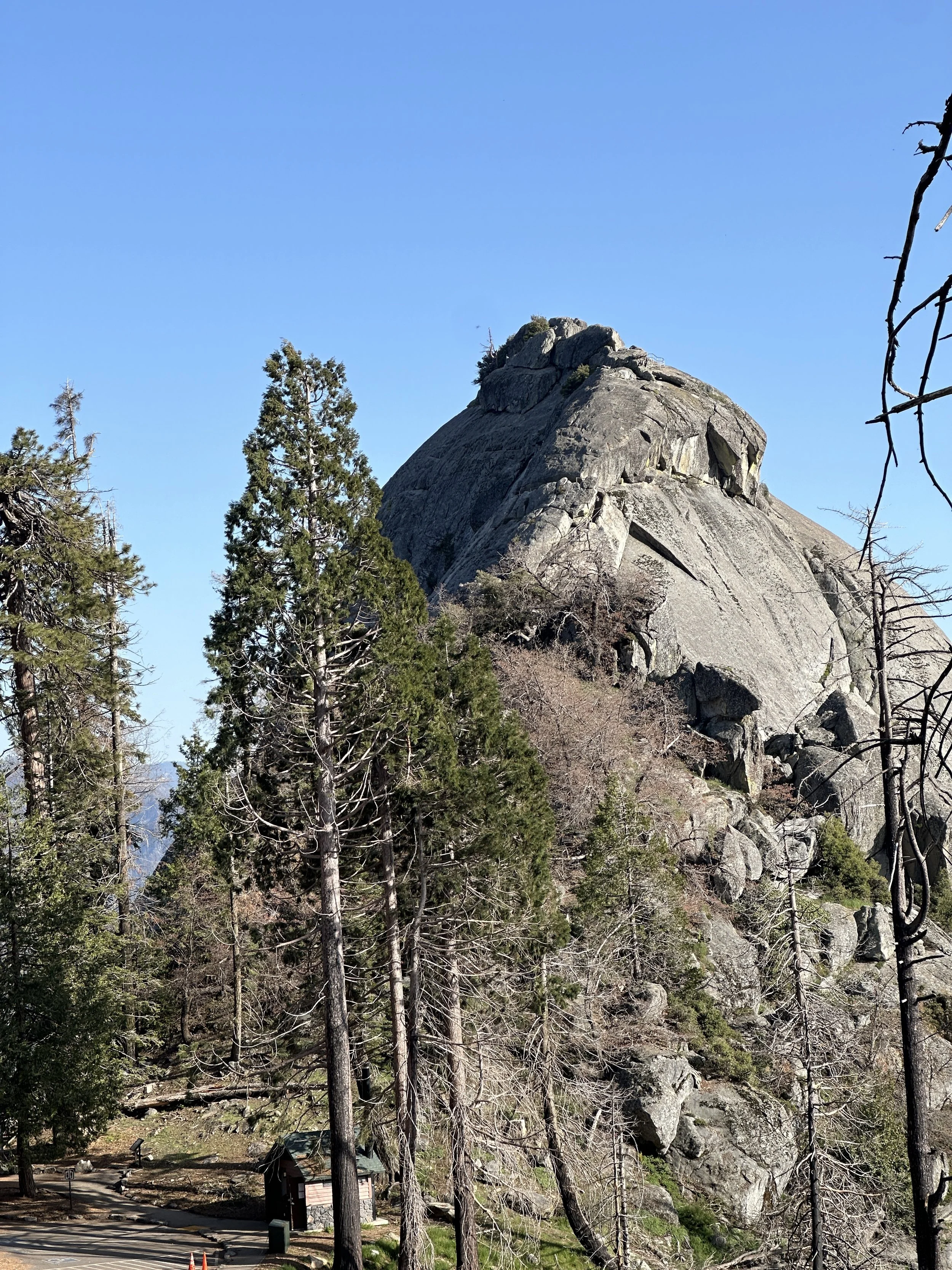
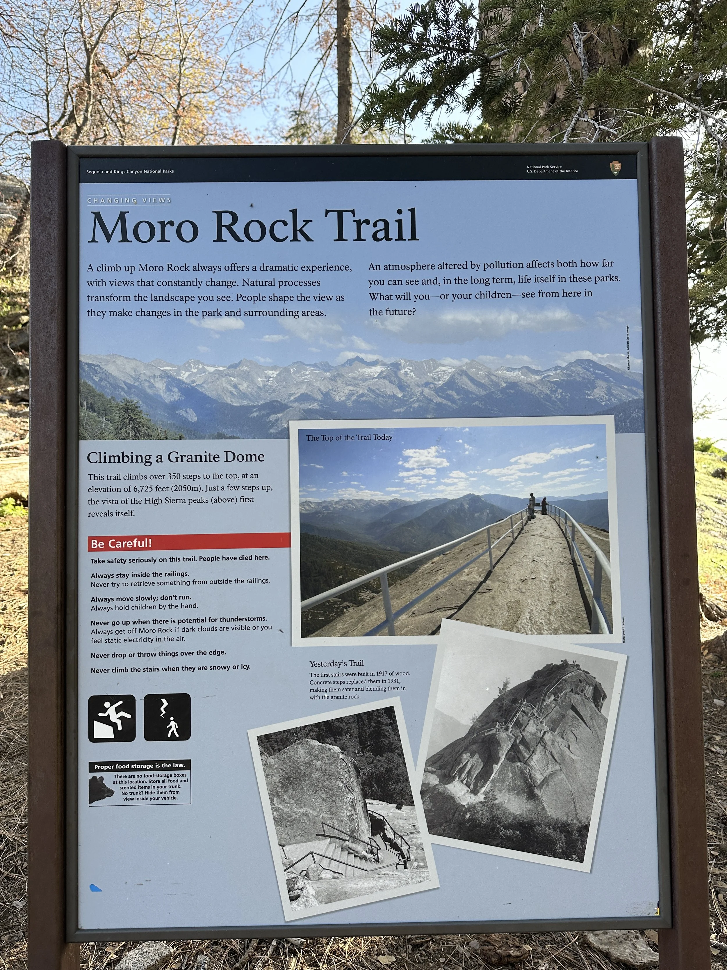
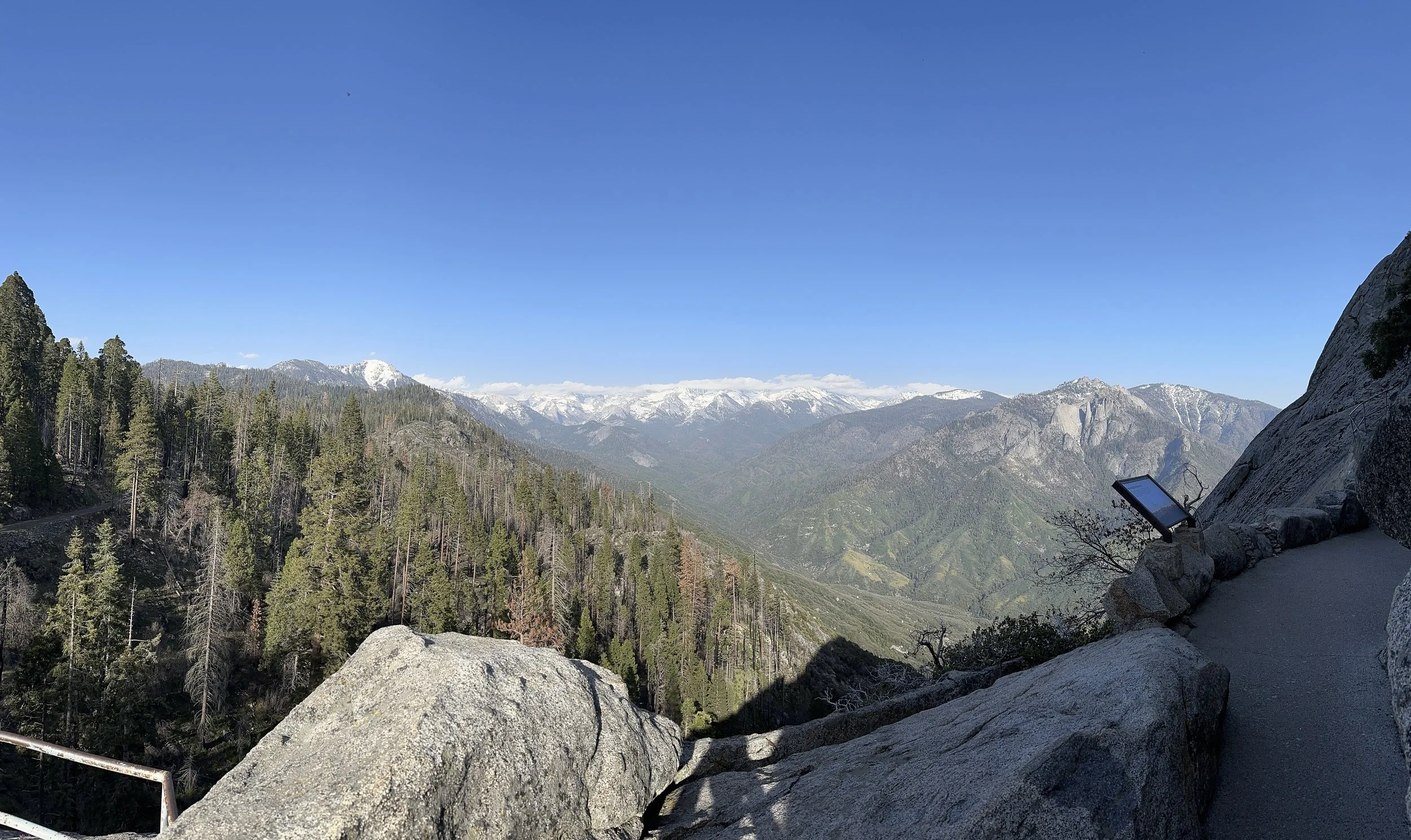
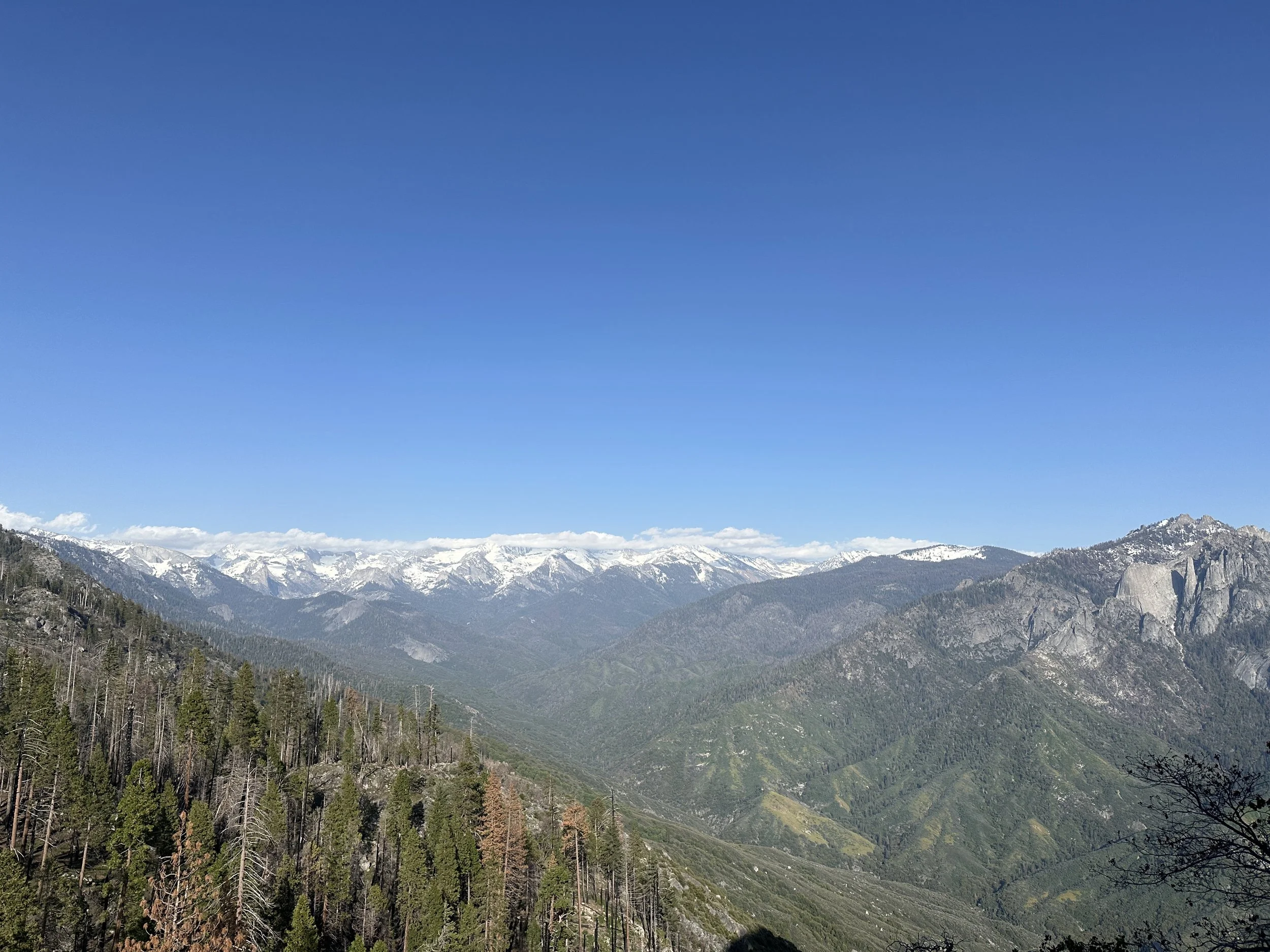
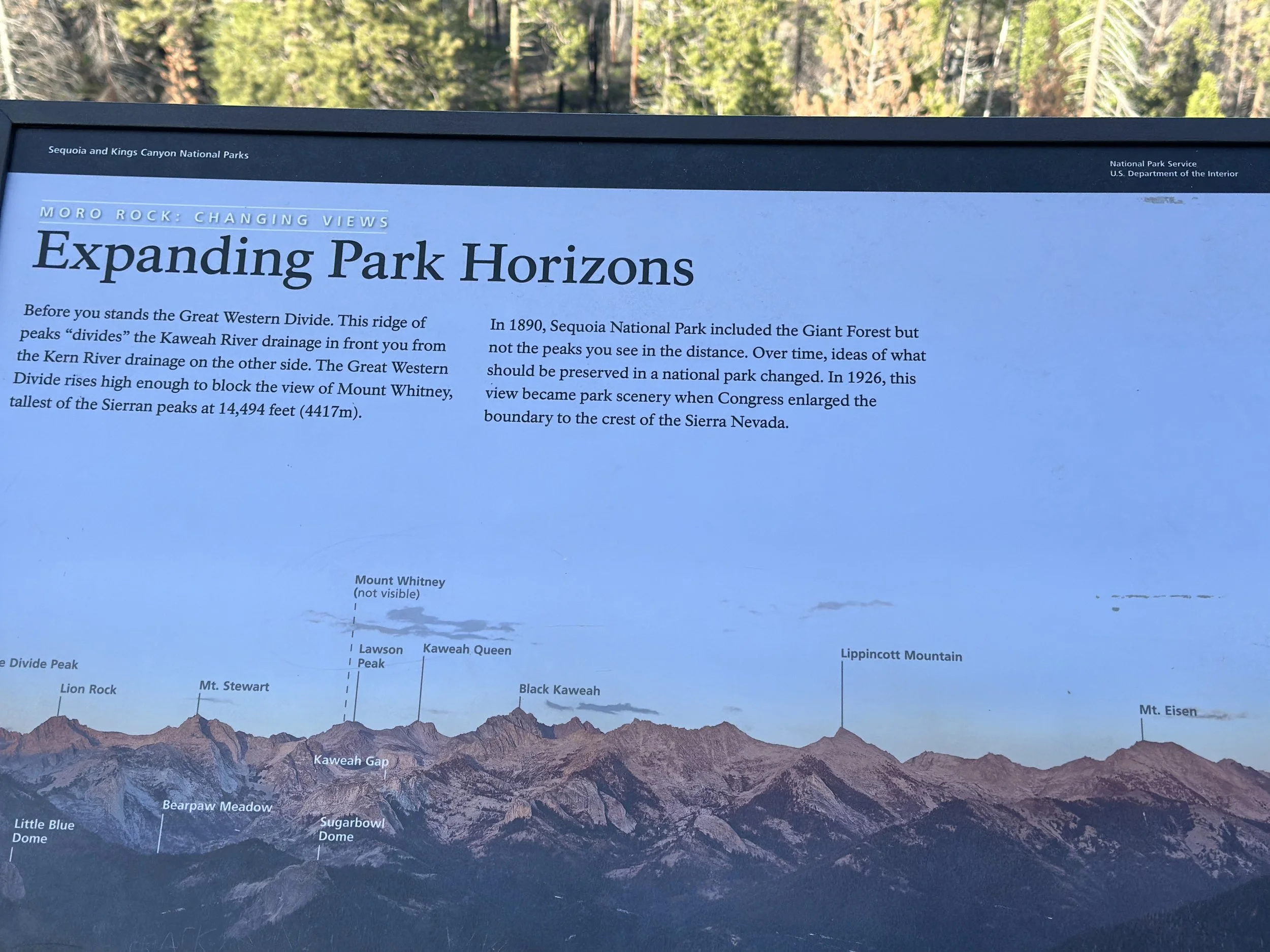
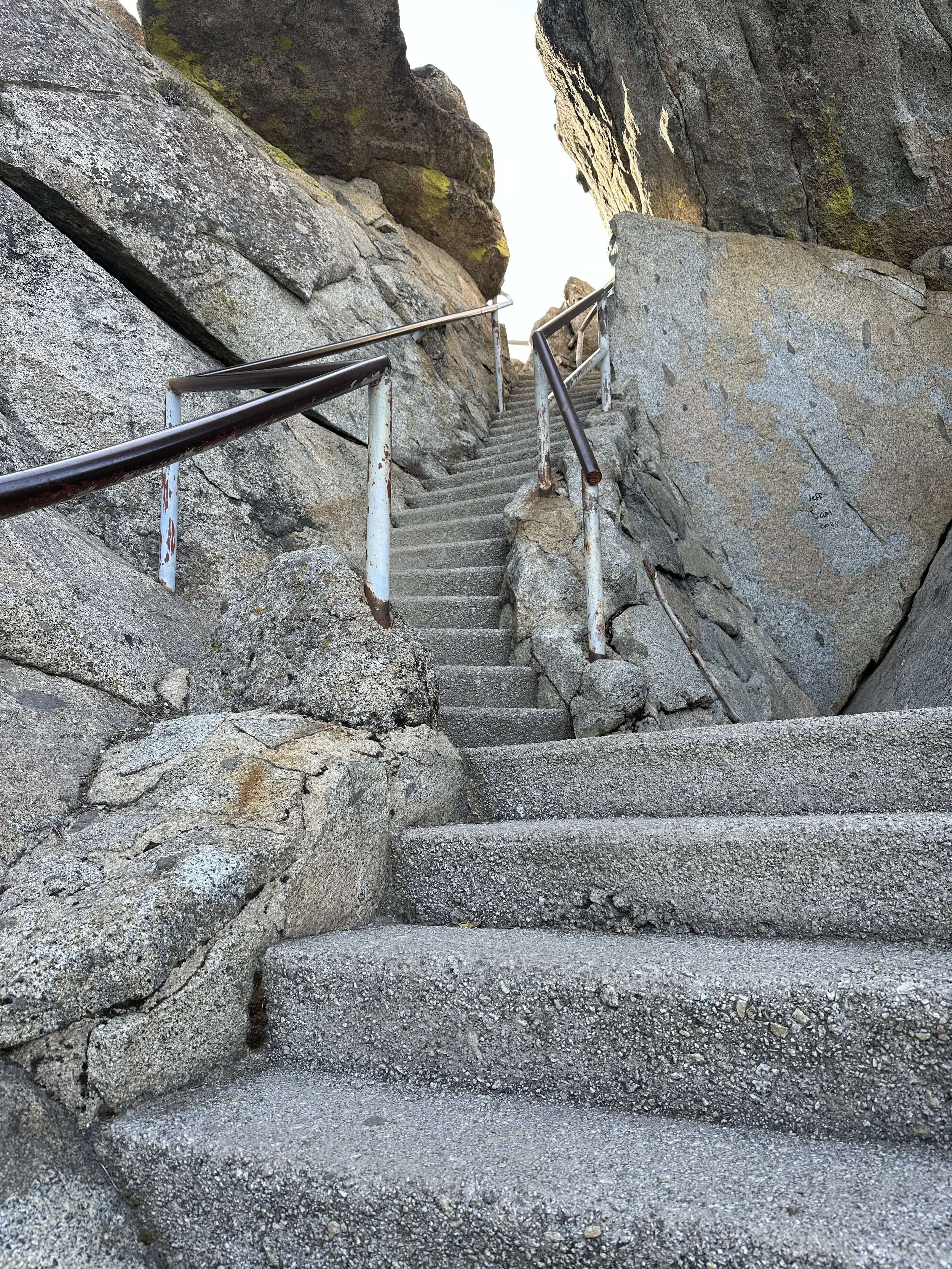
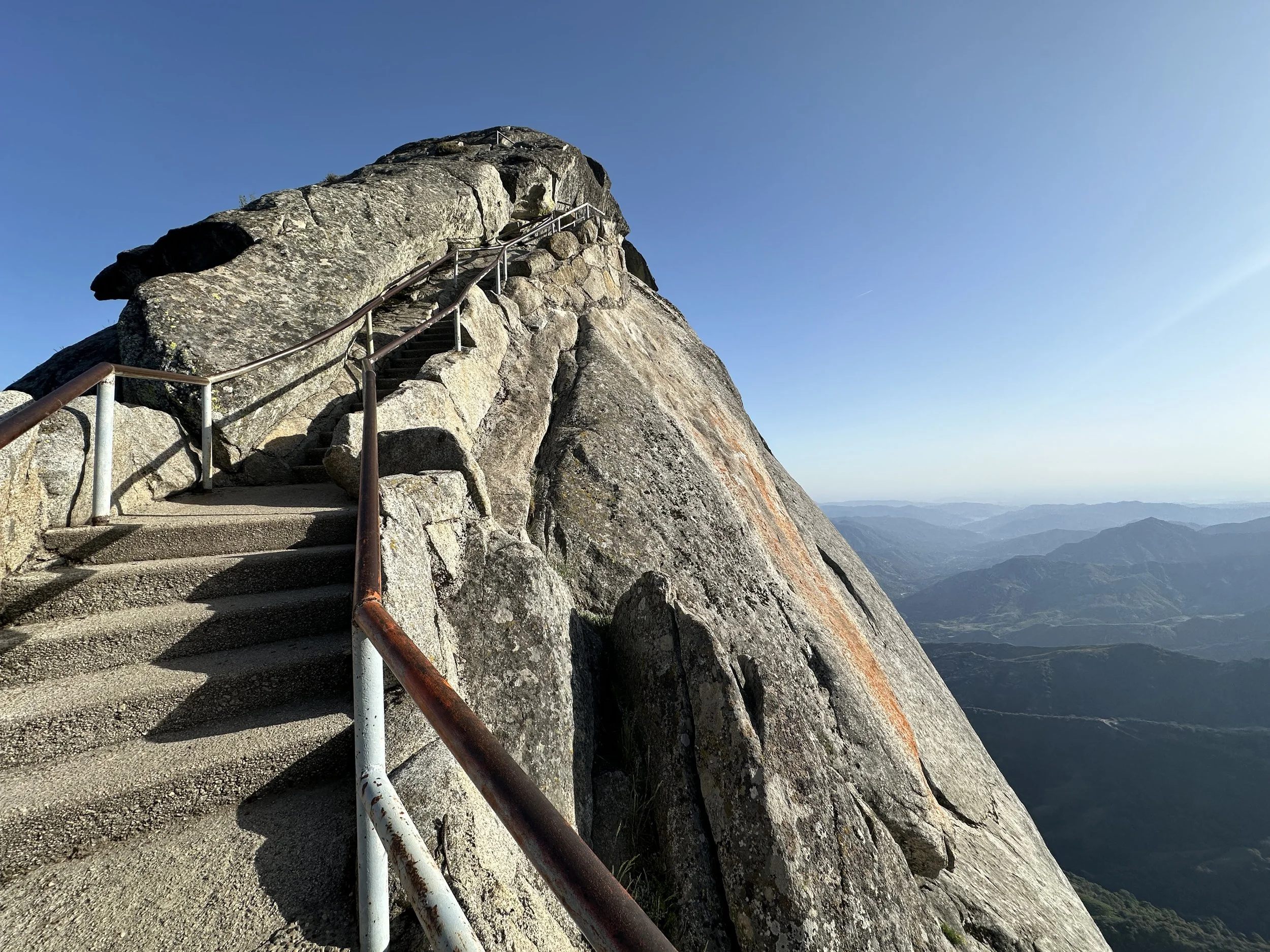
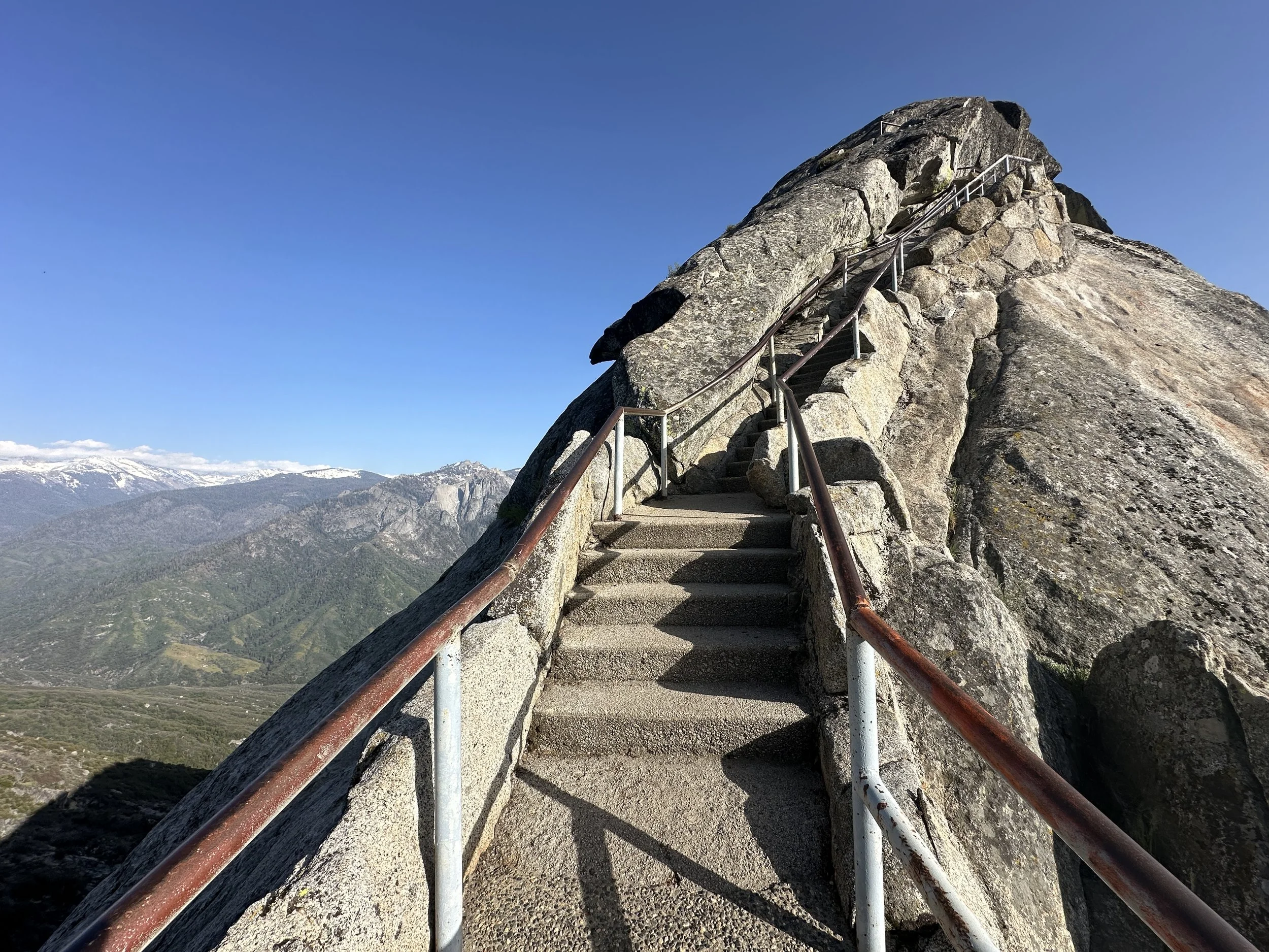
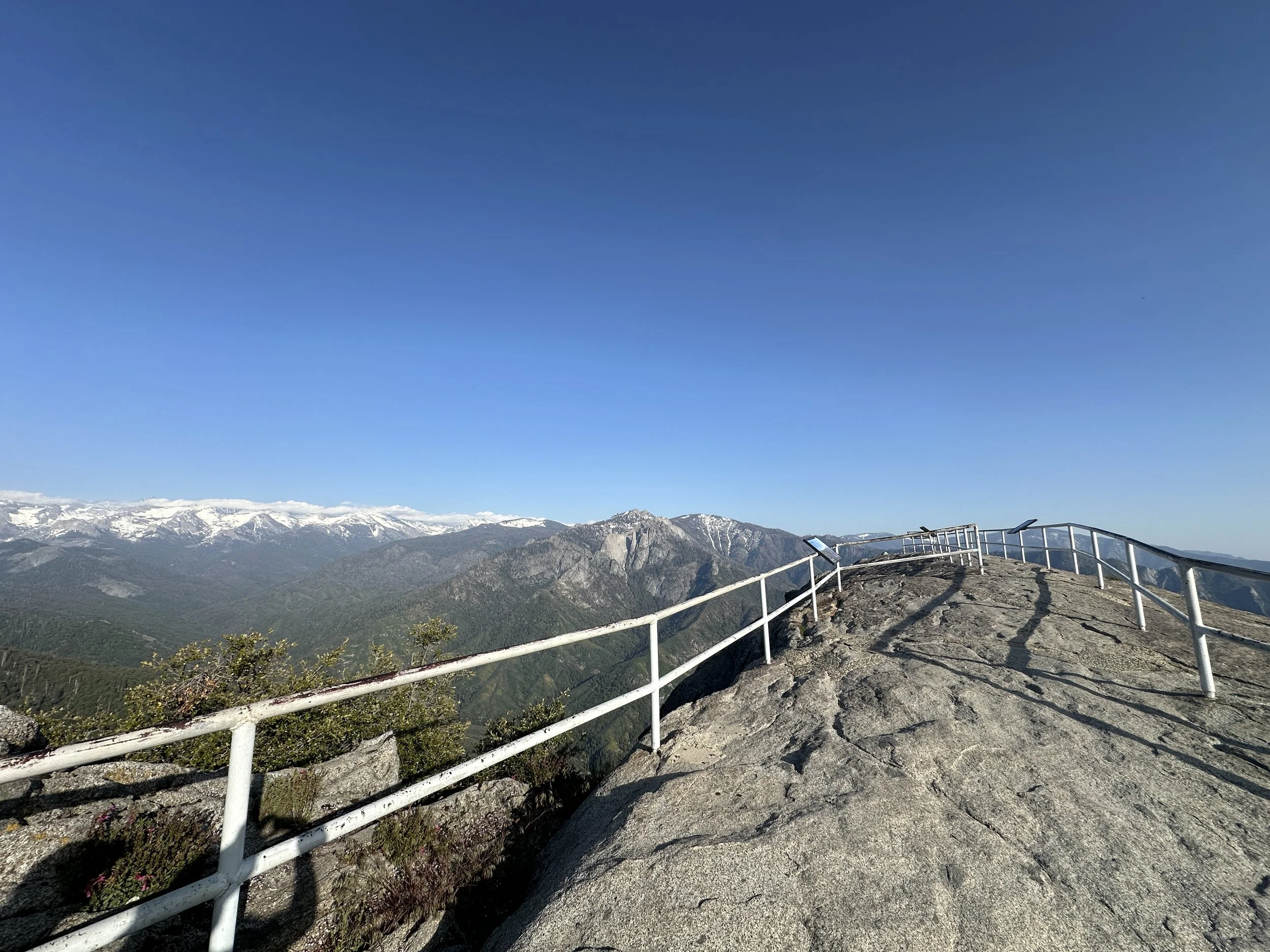
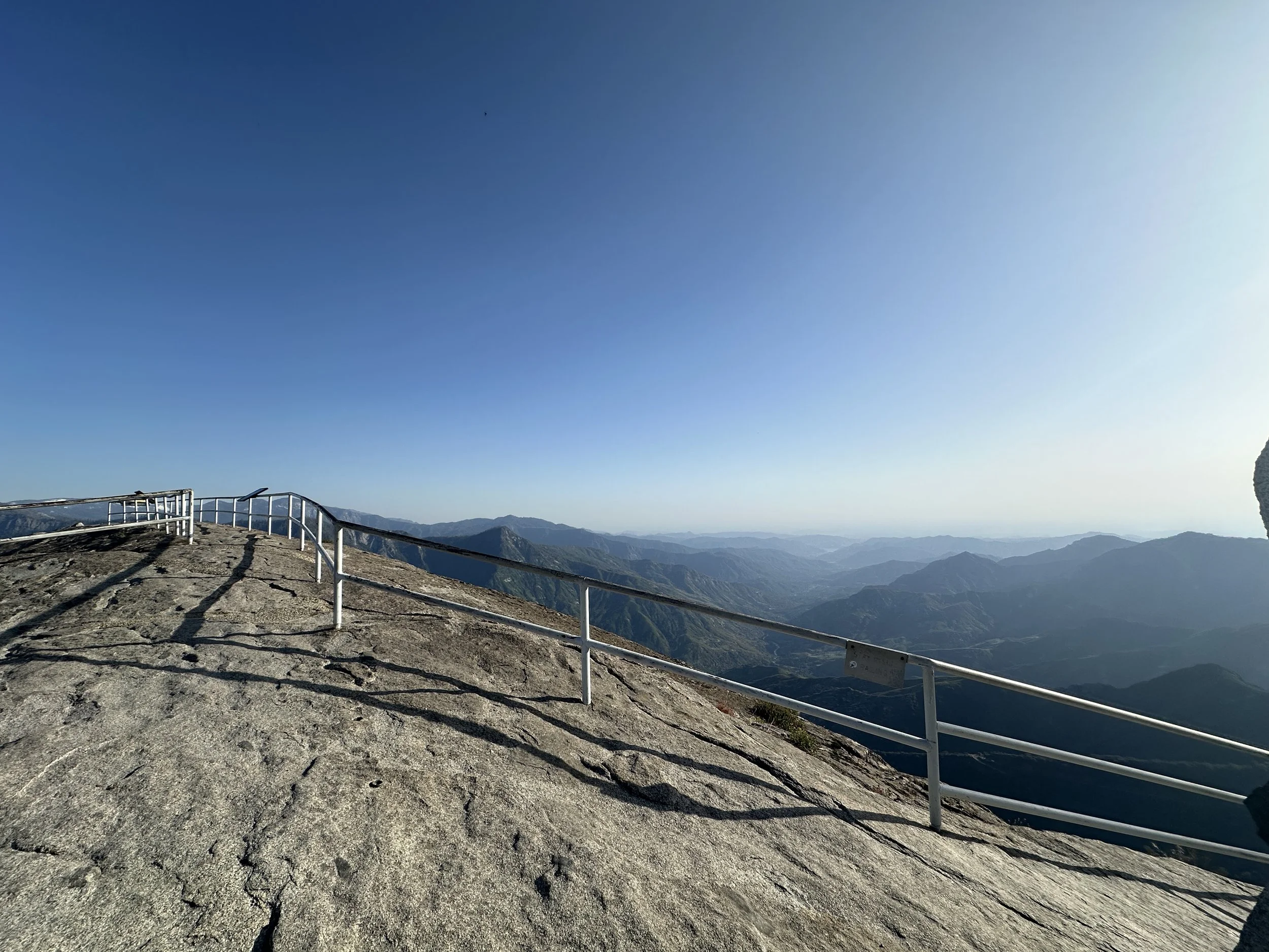
No visit to Sequoia National Park is complete without walking up to the summit of Moro Rock. The trail climbs over 350 steps to the top at an elevation of 6,725 feet. The views along the ascent and at the top are rare and are really hard to describe. You can literally see Mt. Stewart, Mt. Whitney and Mt. Eisen. There is a great sign that points out these mountains and more. I took a picture of the sign and a panoramic photo to hopefully match up. Really an amazing piece of nature to see. On the hike back to our car we saw a deer about 10 feet from us and that is captured in a photo as well.
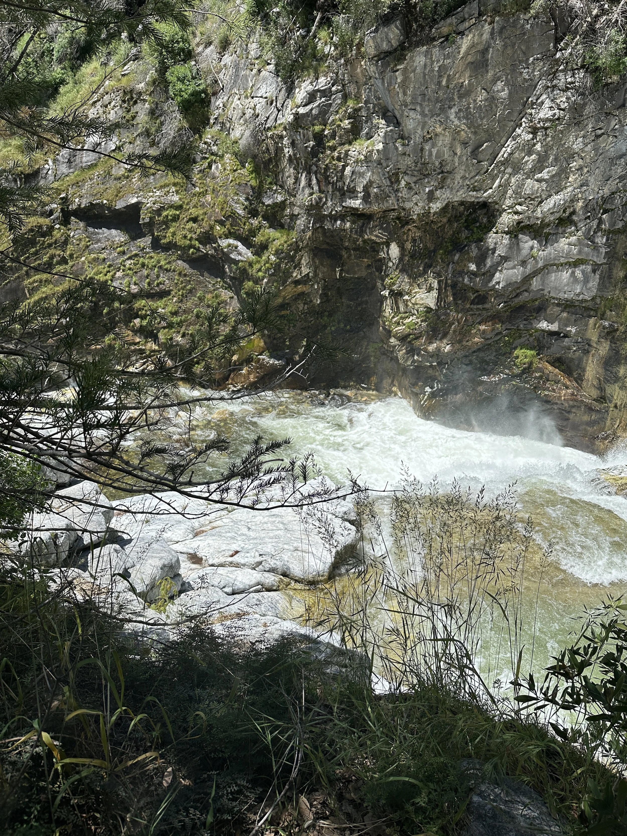
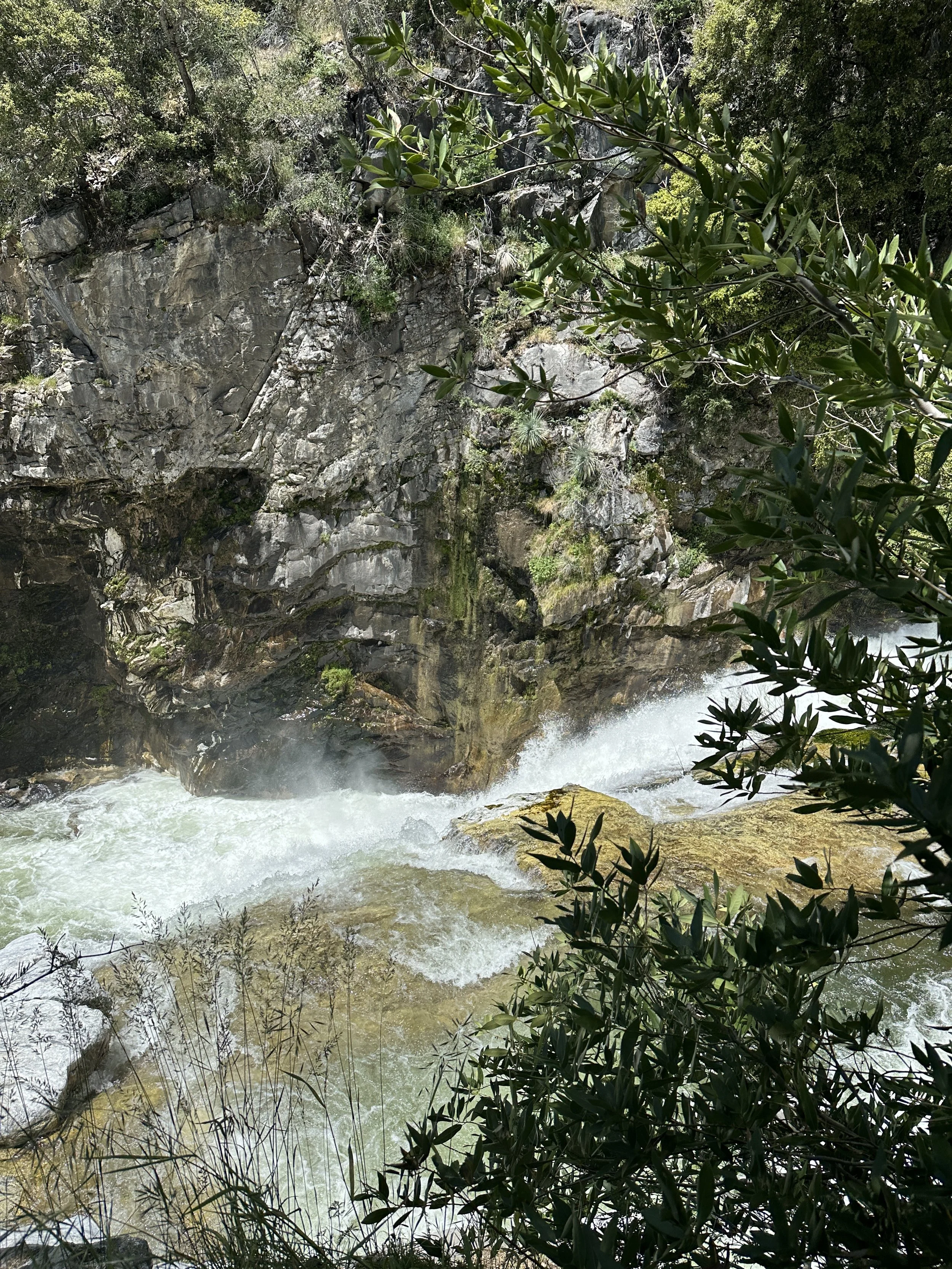
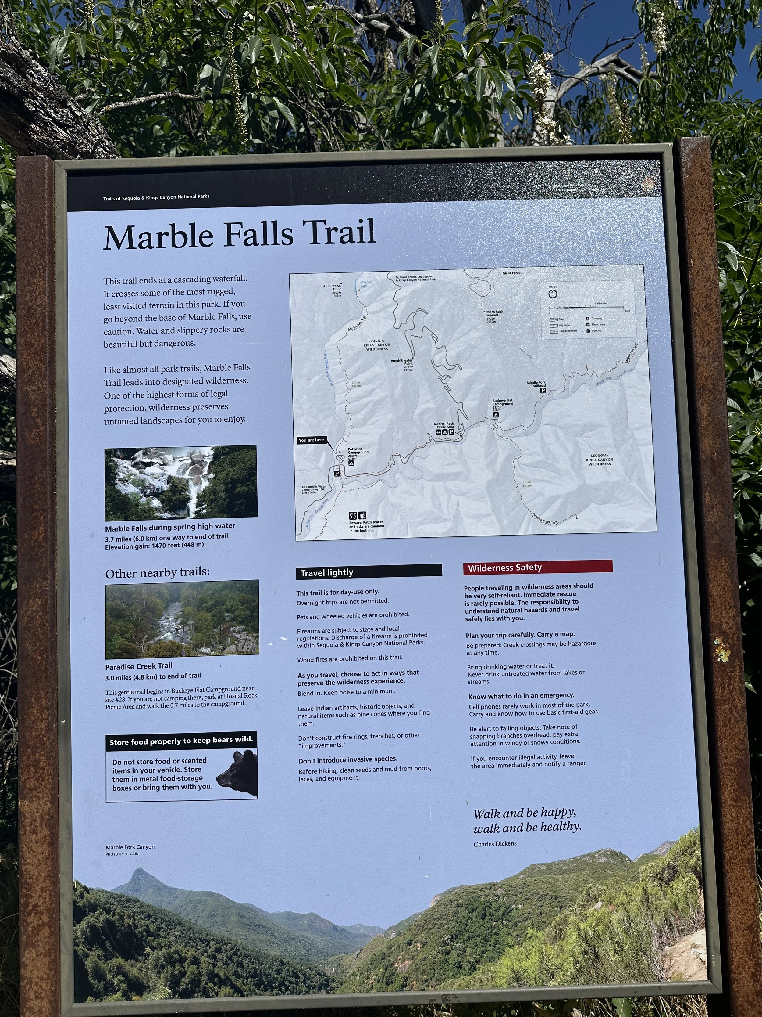
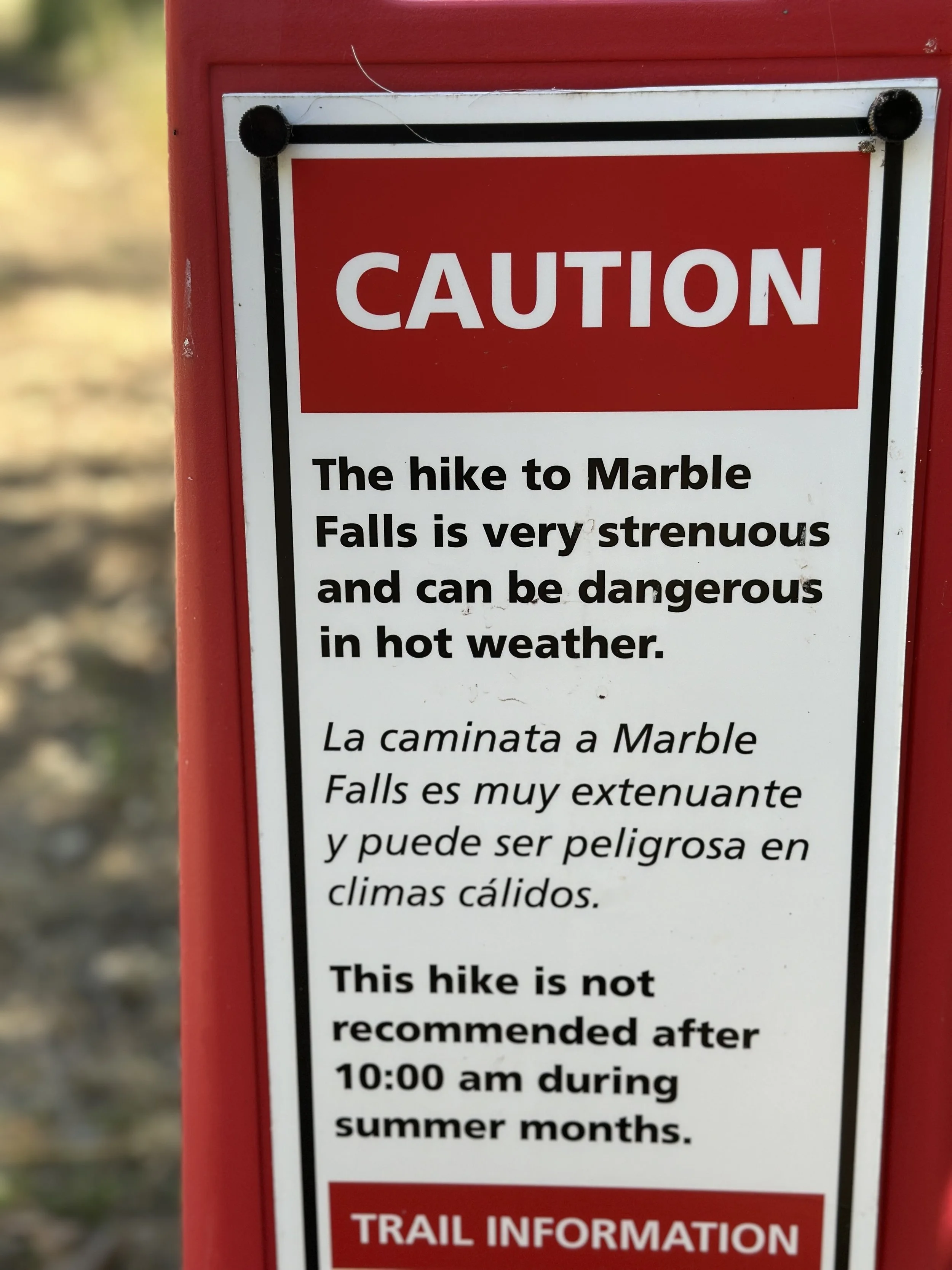
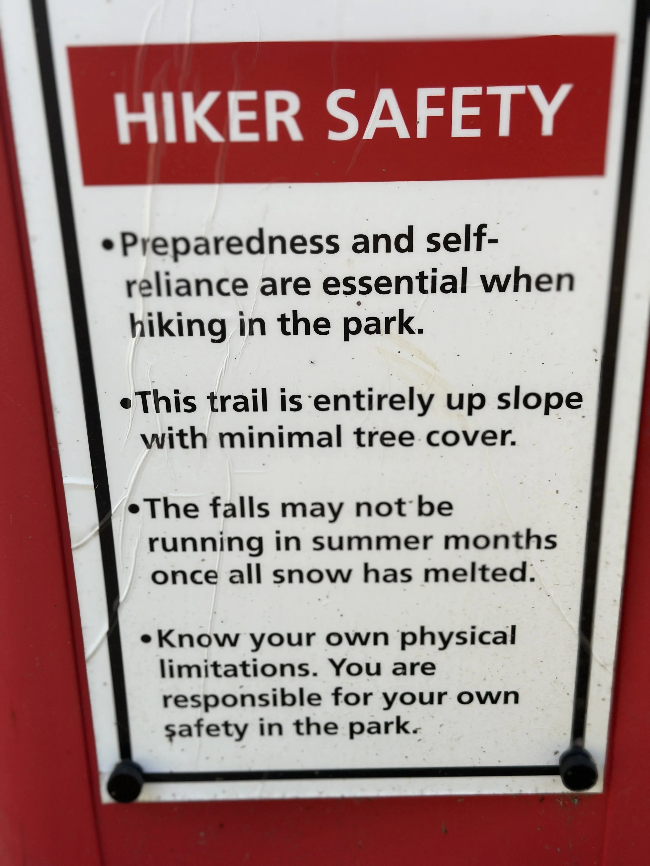
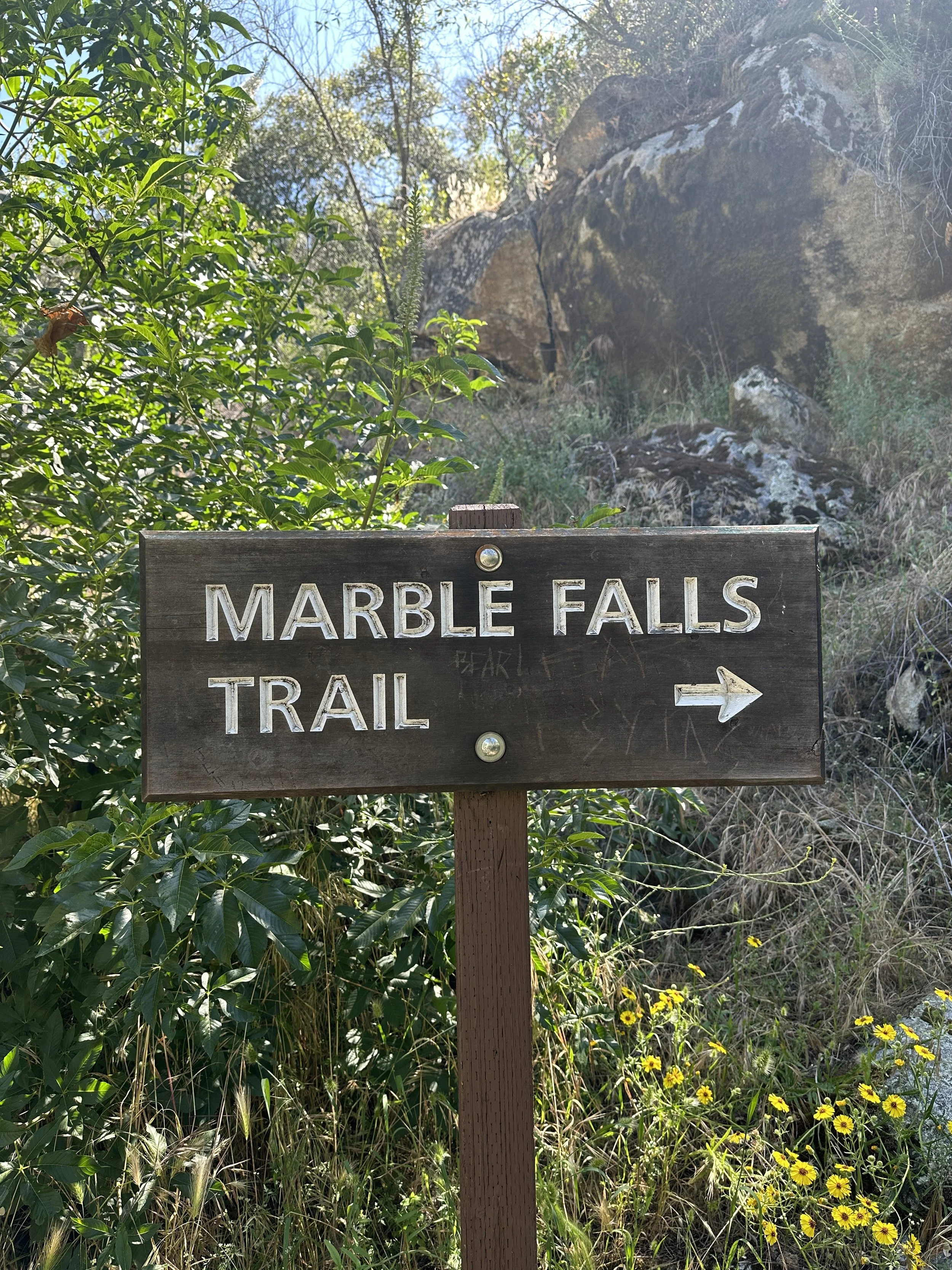
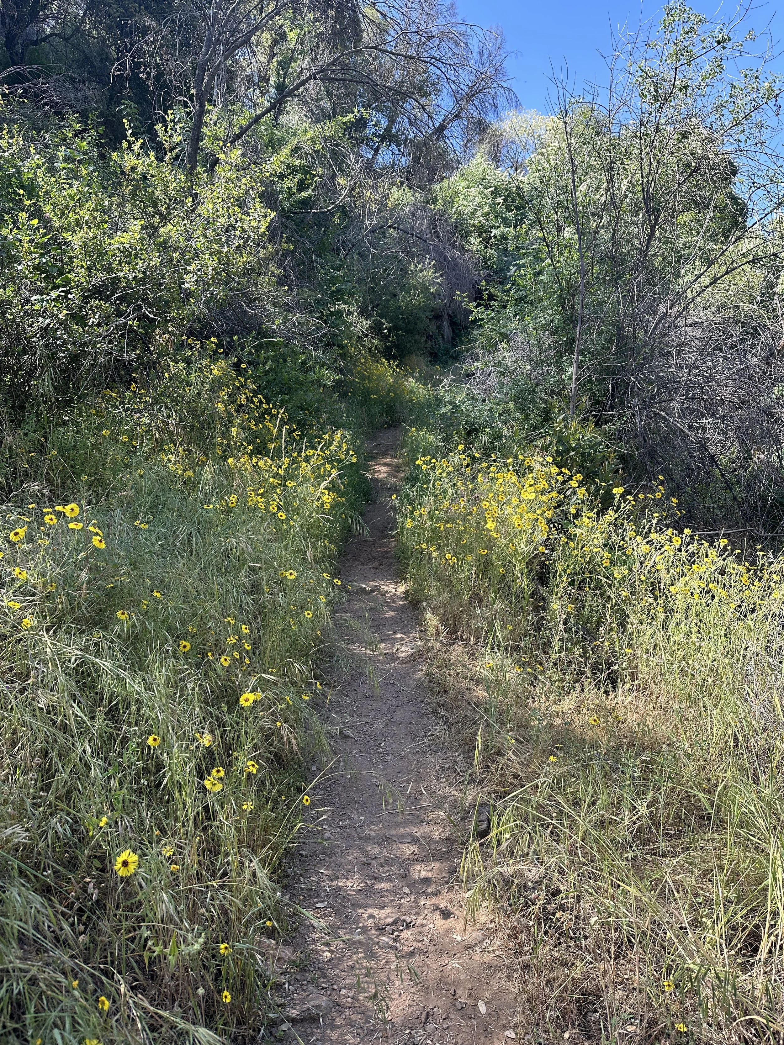
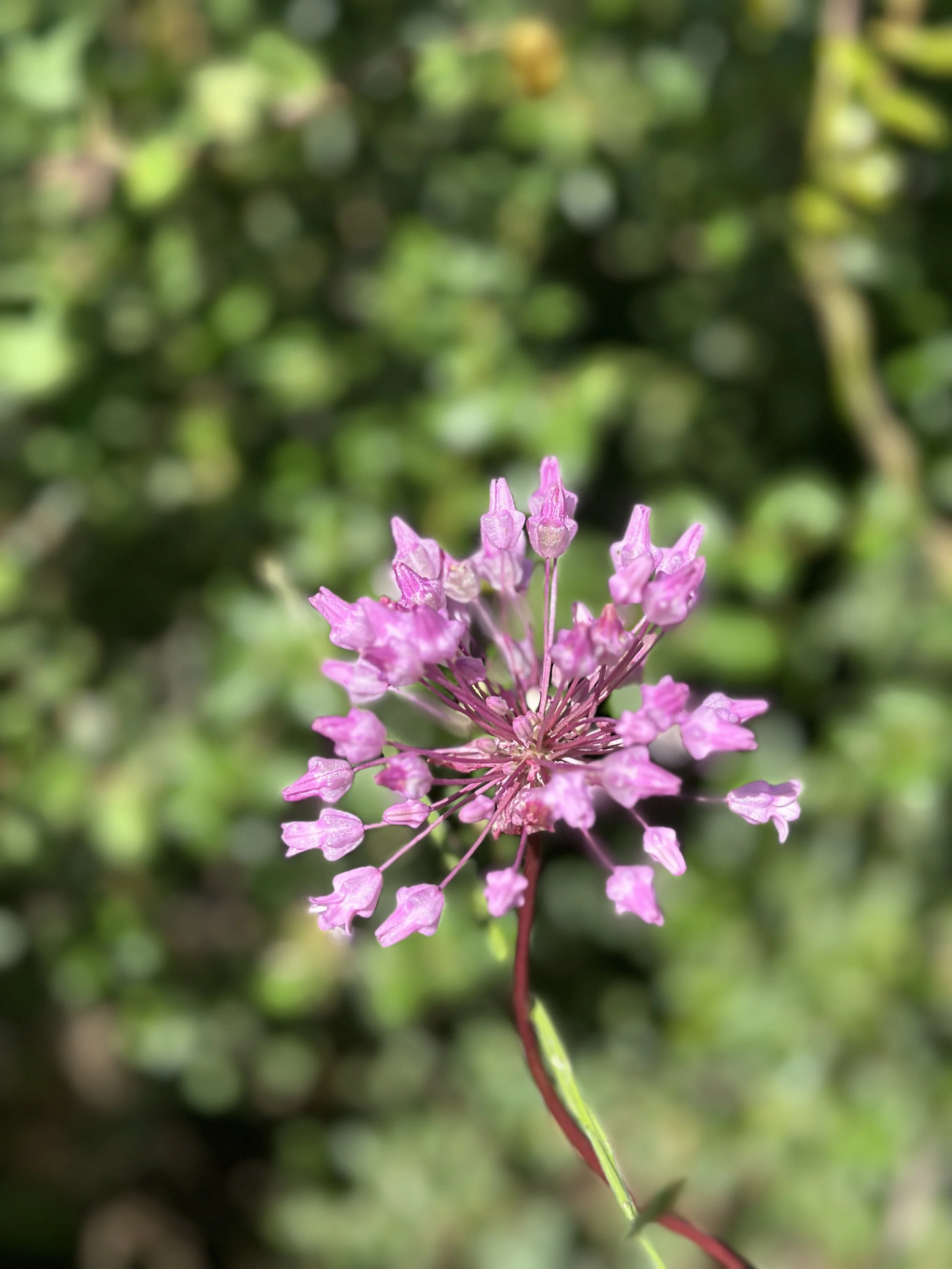
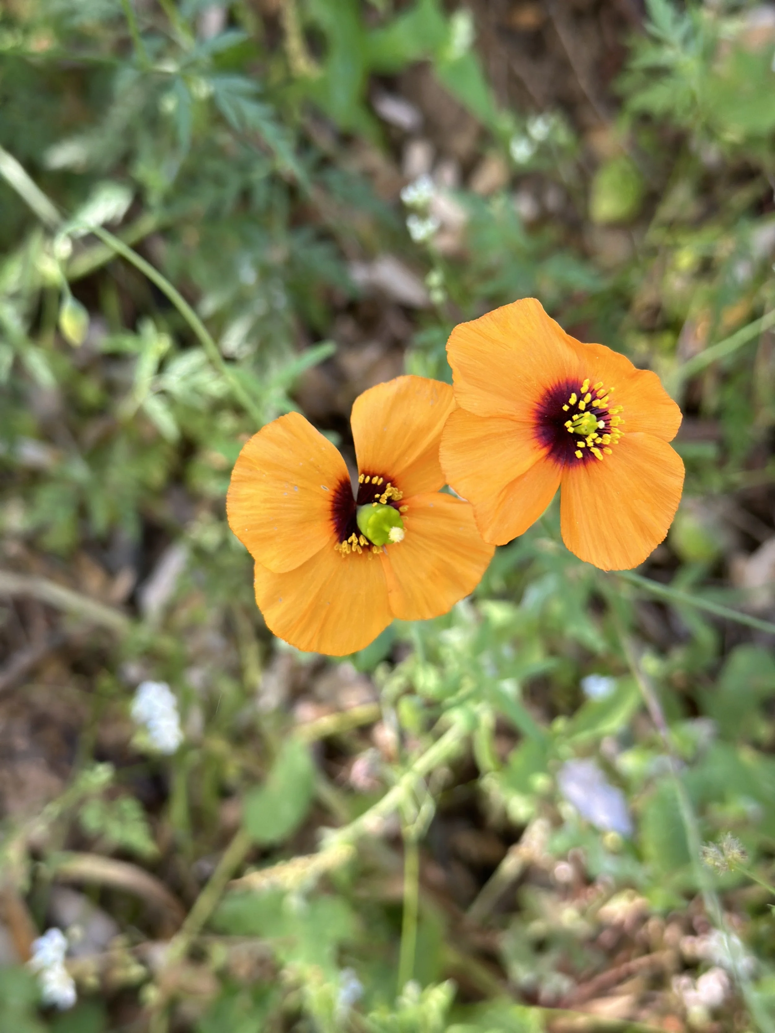
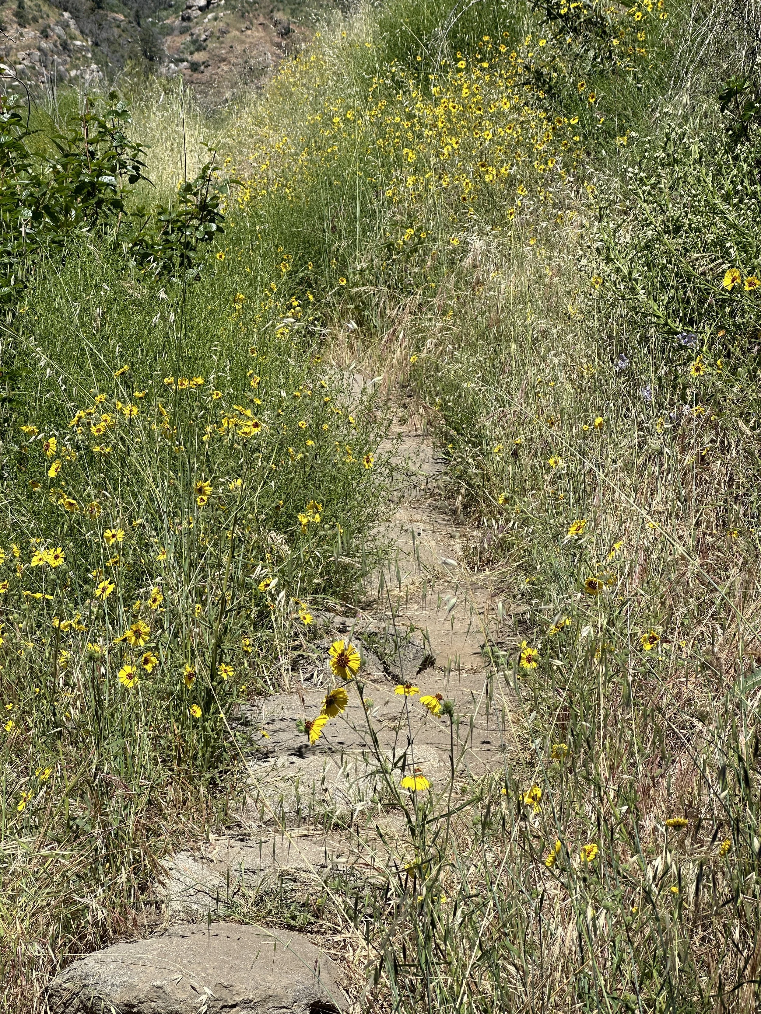
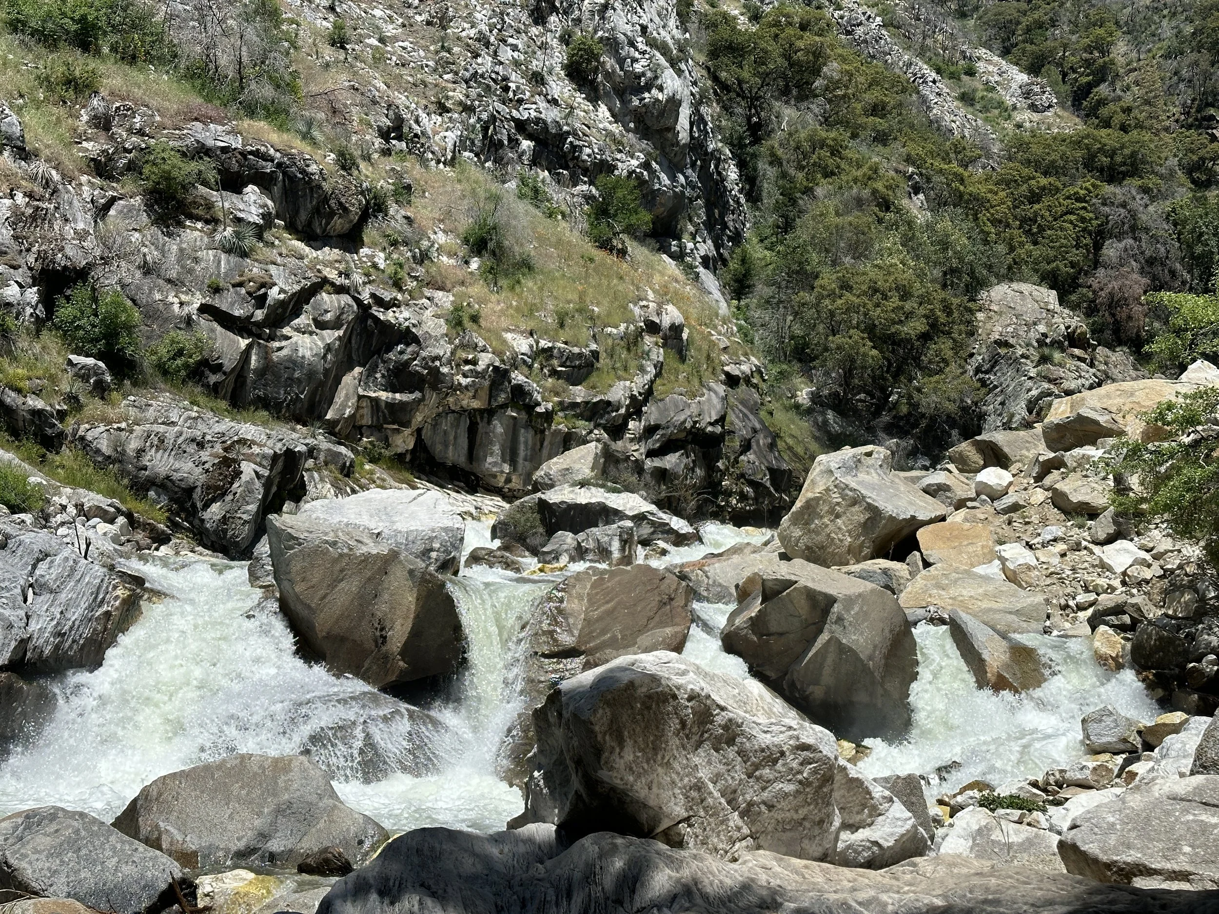
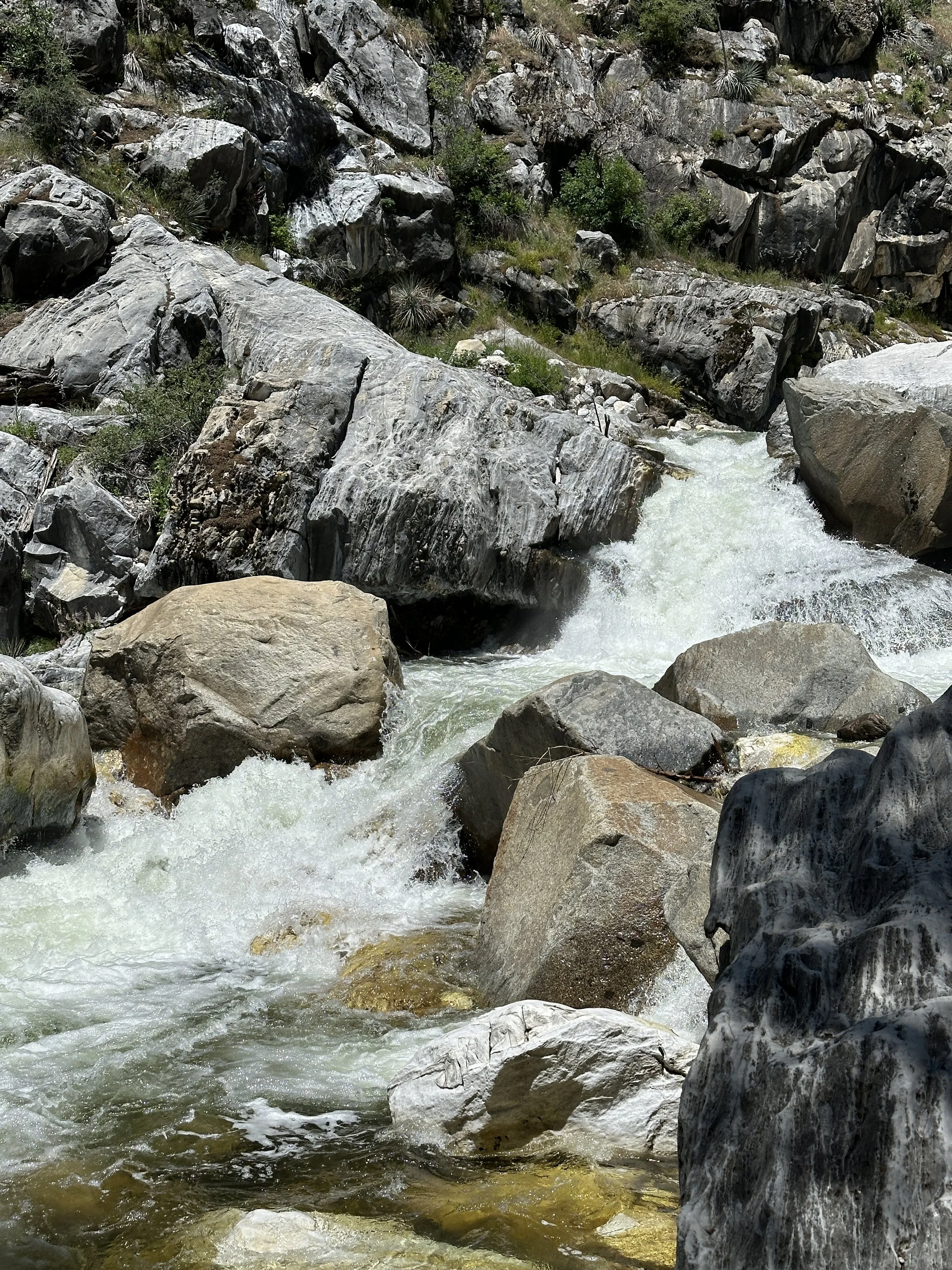
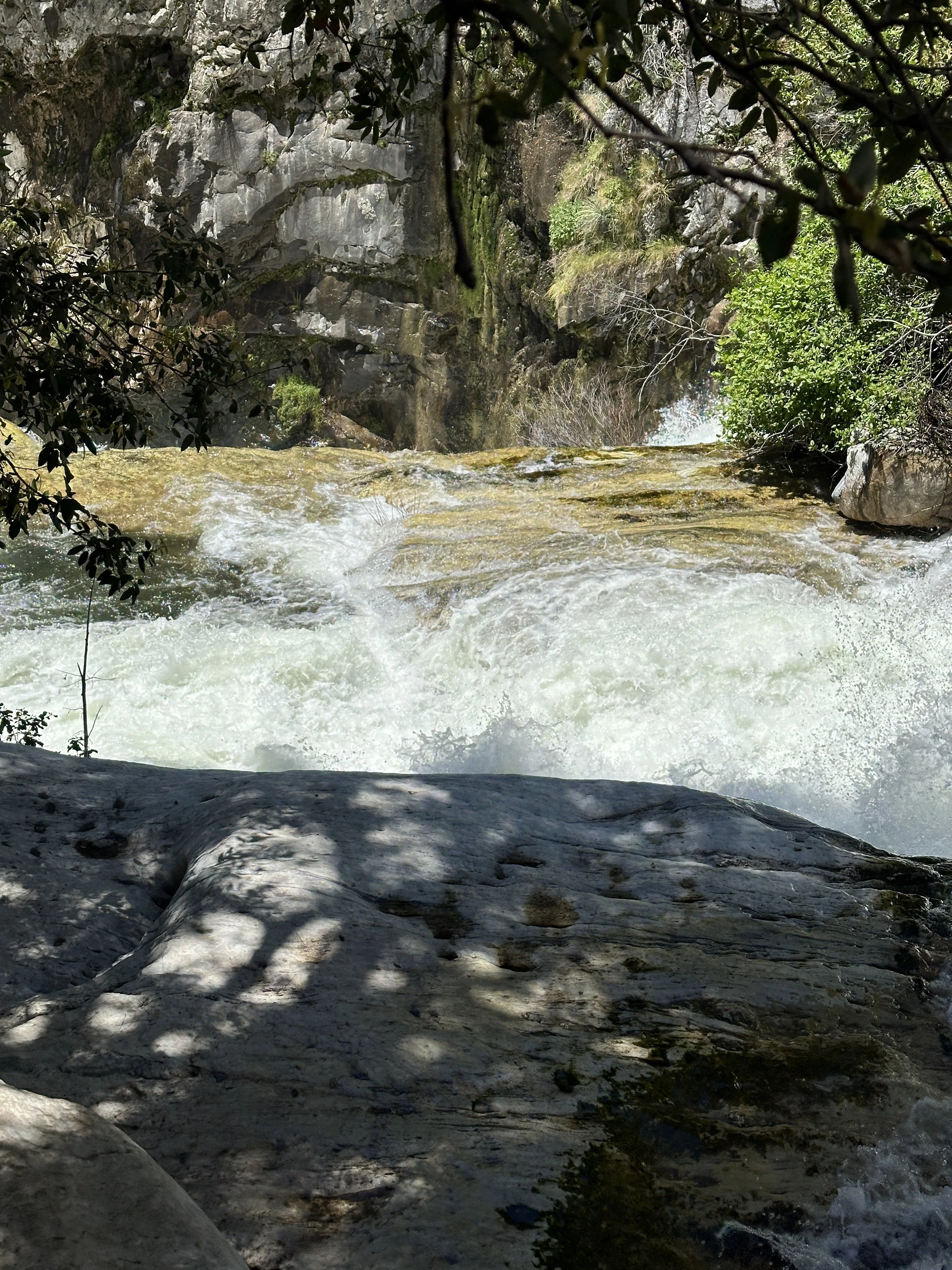
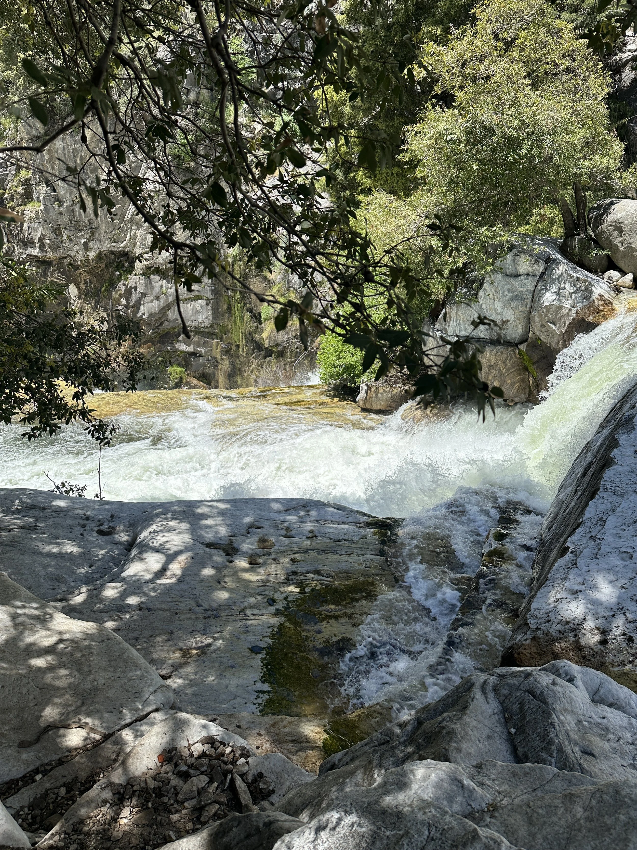
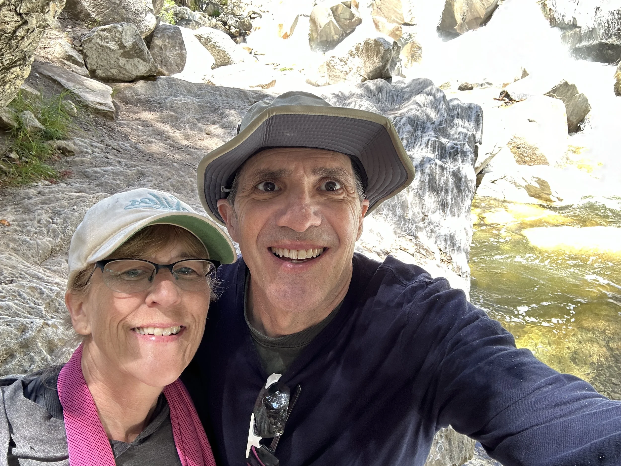
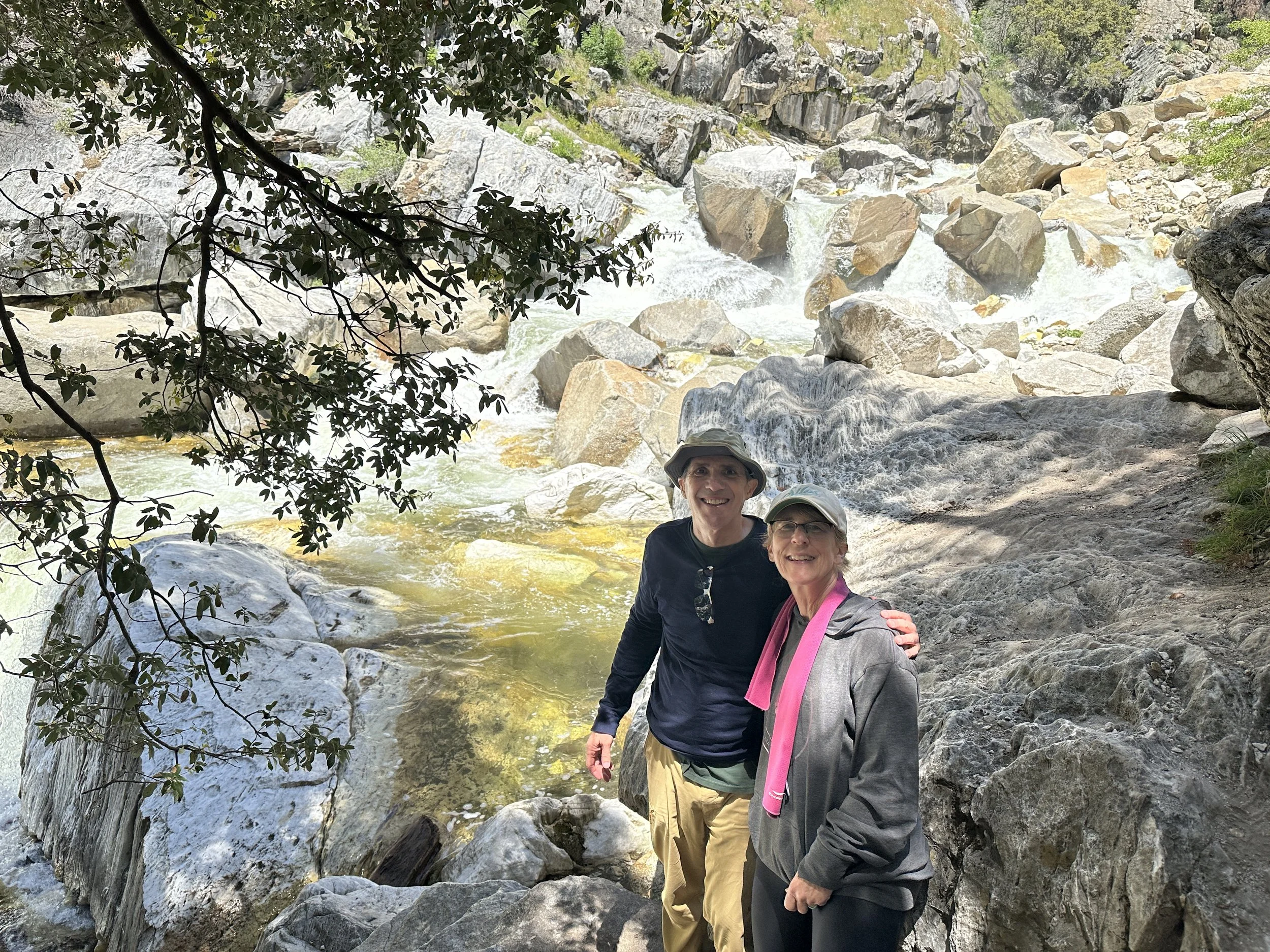
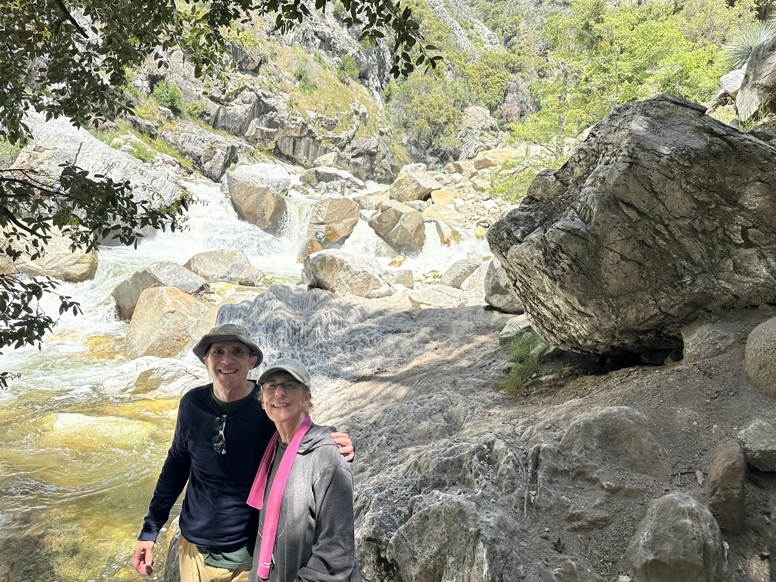
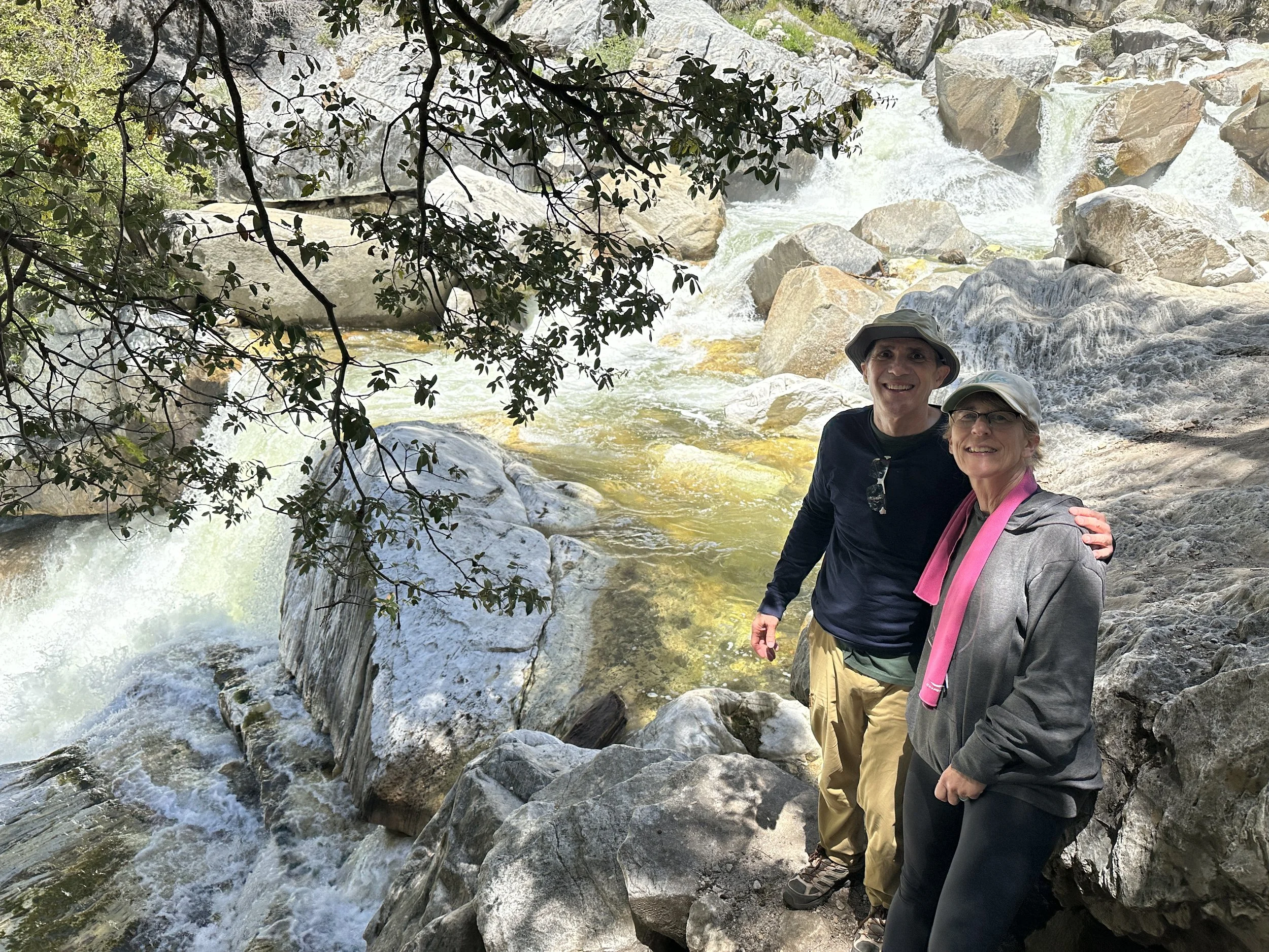
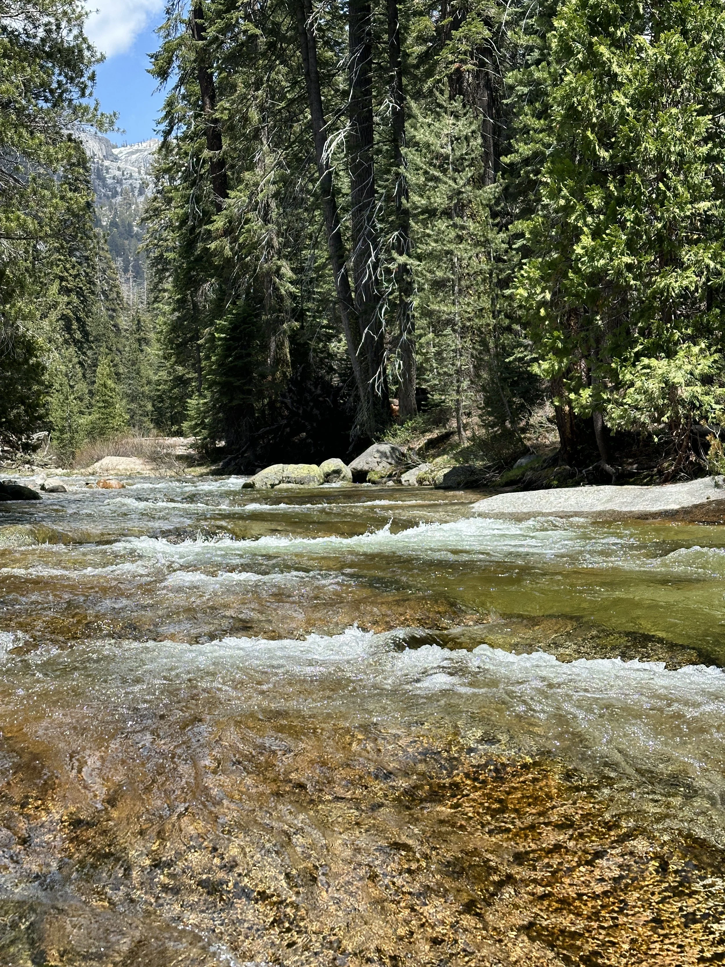
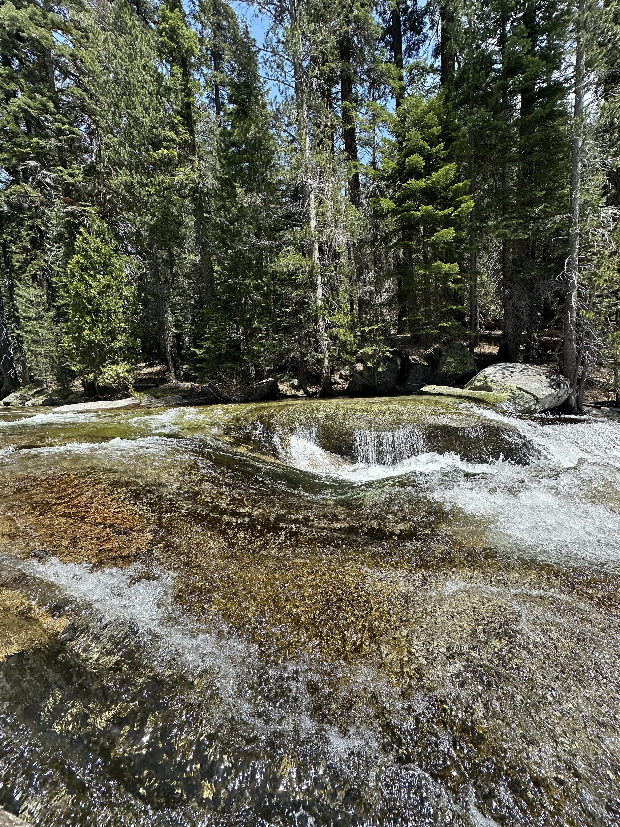
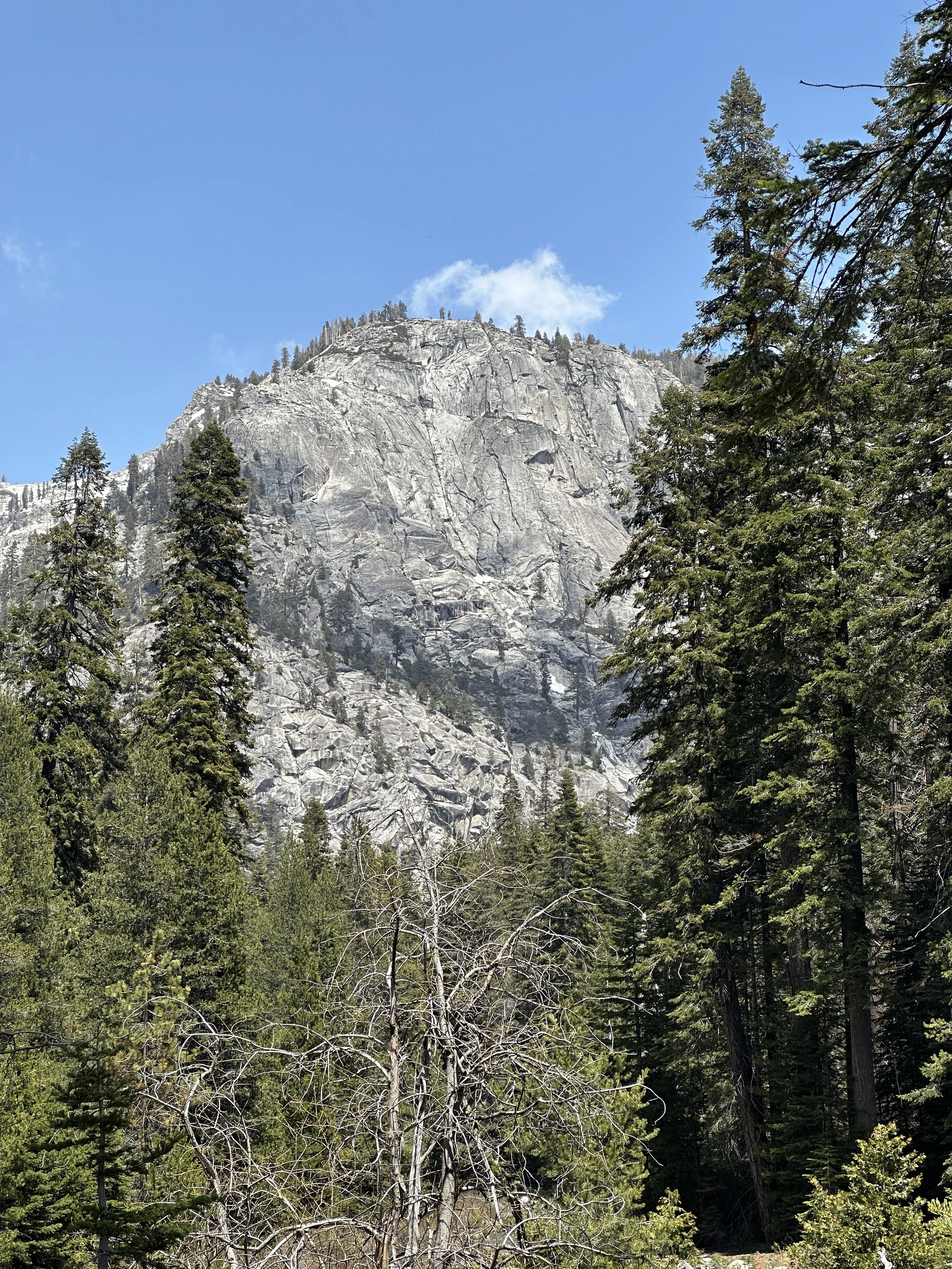
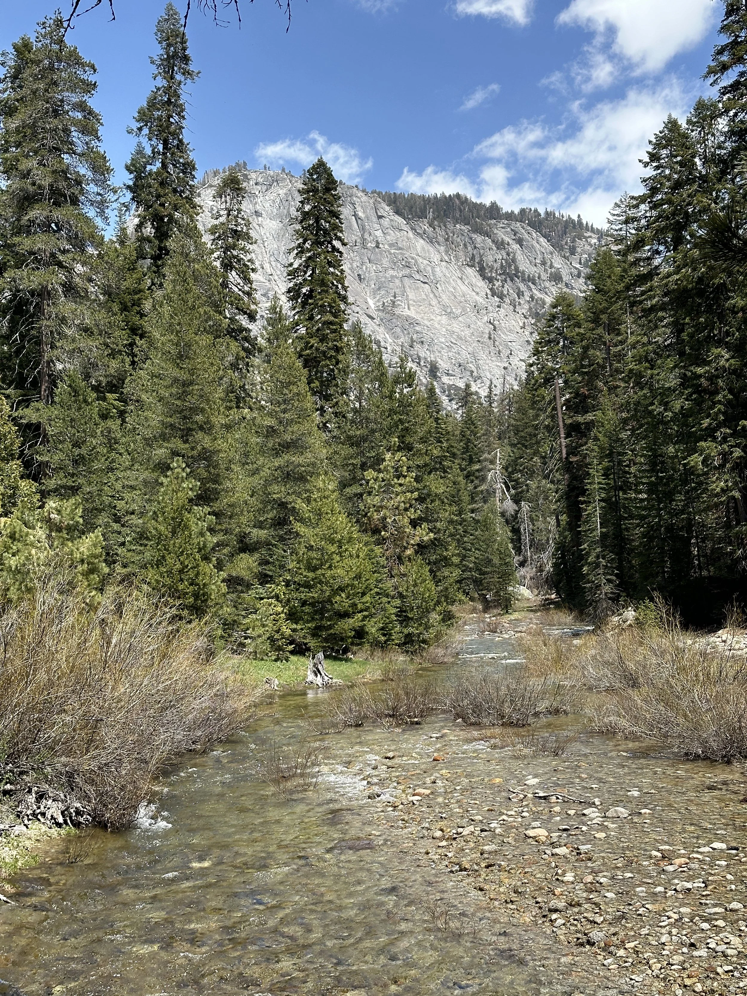
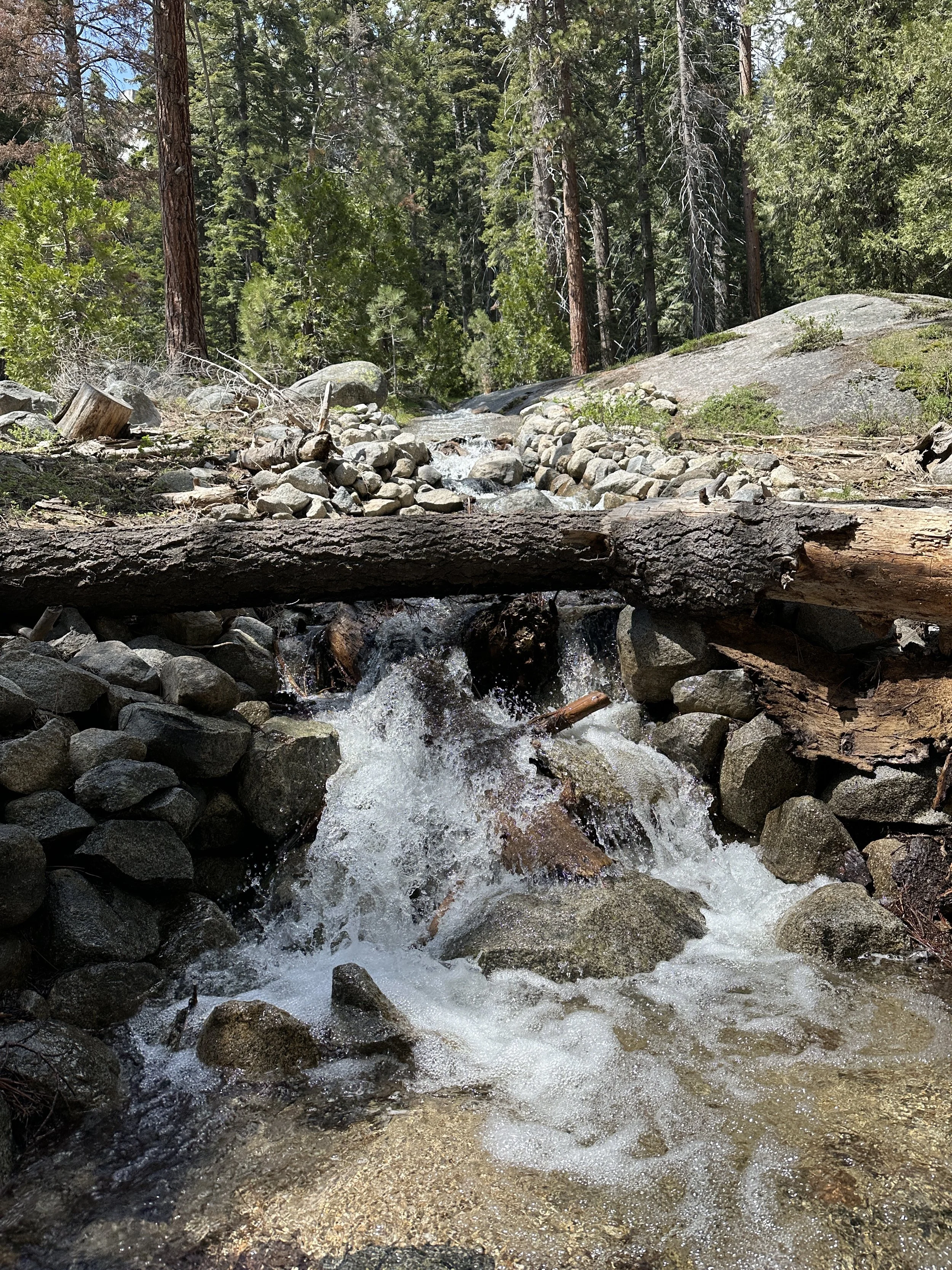
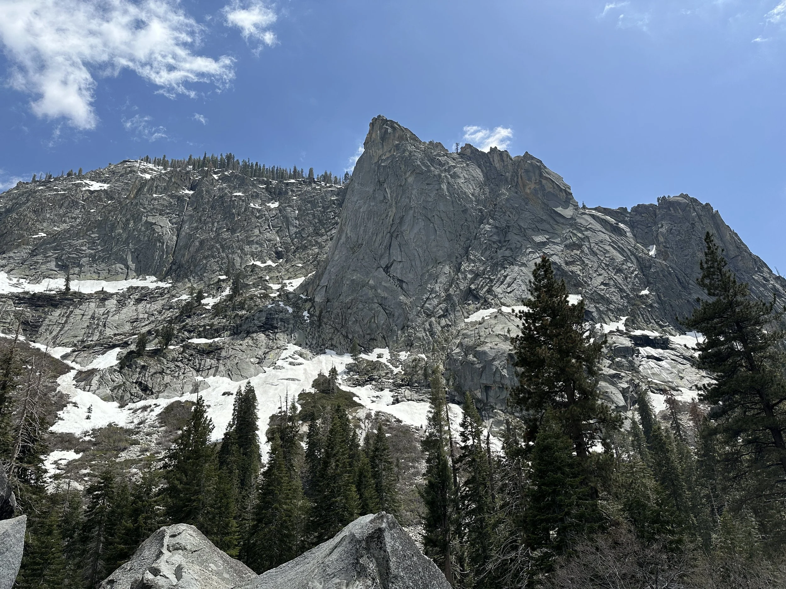
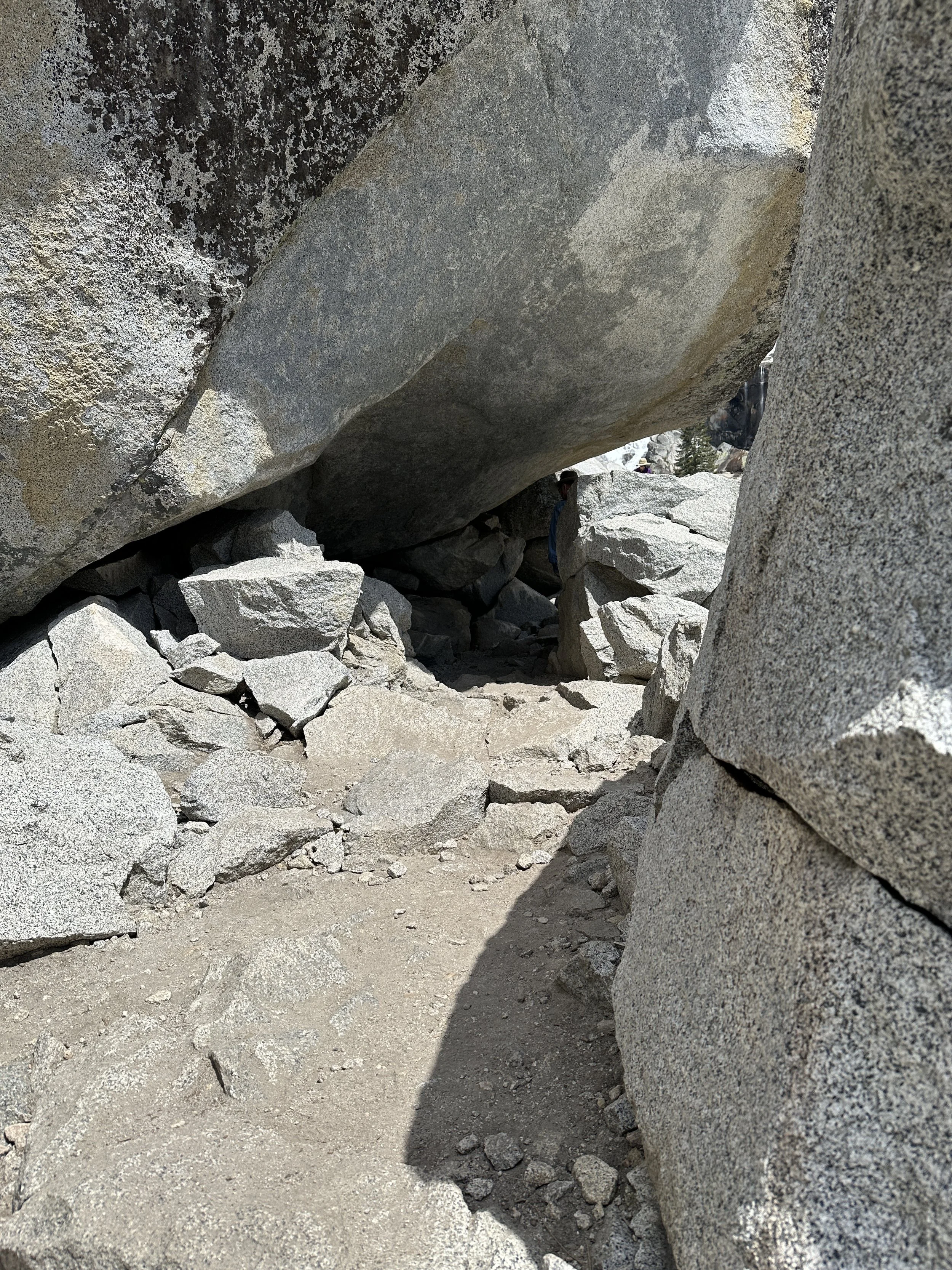
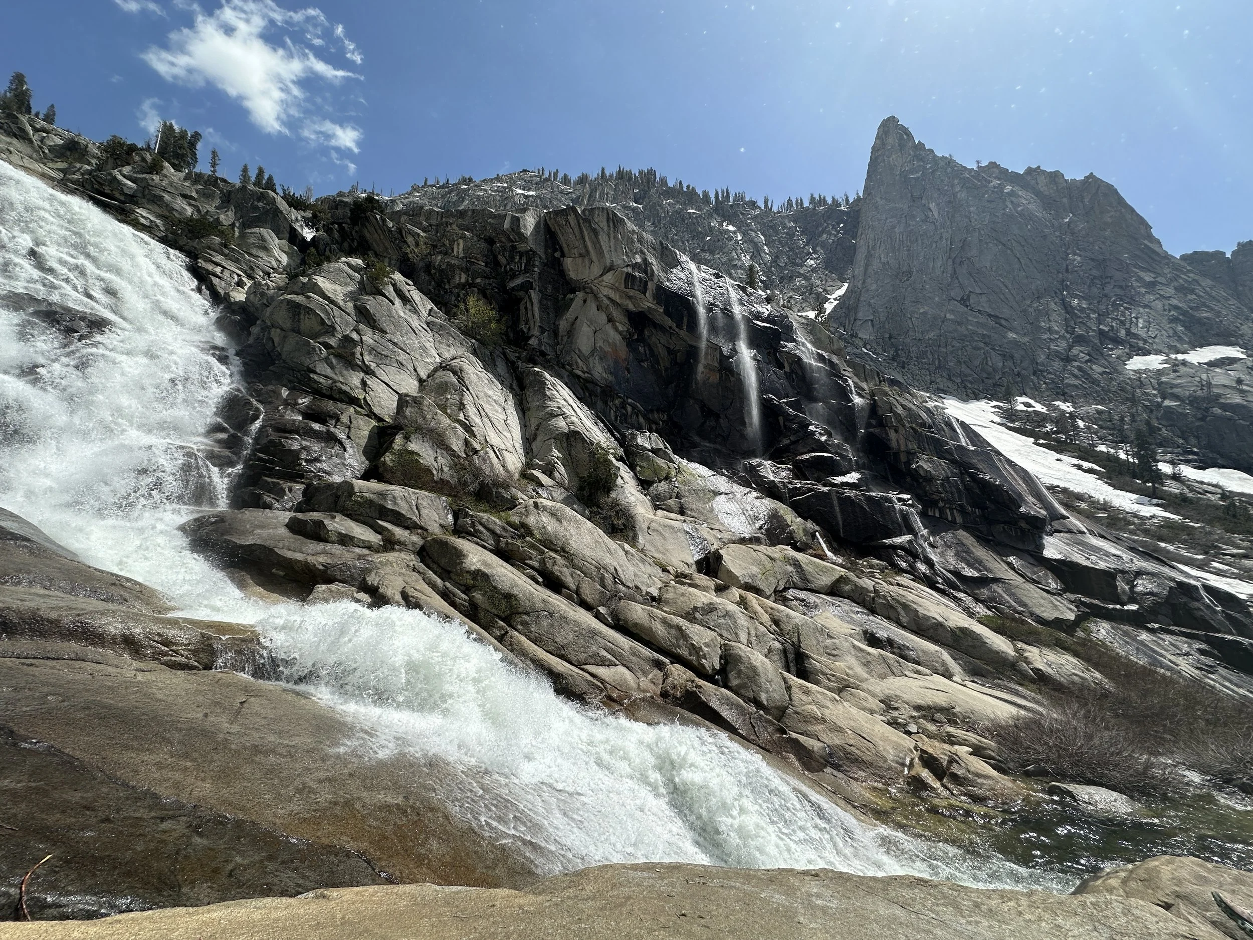
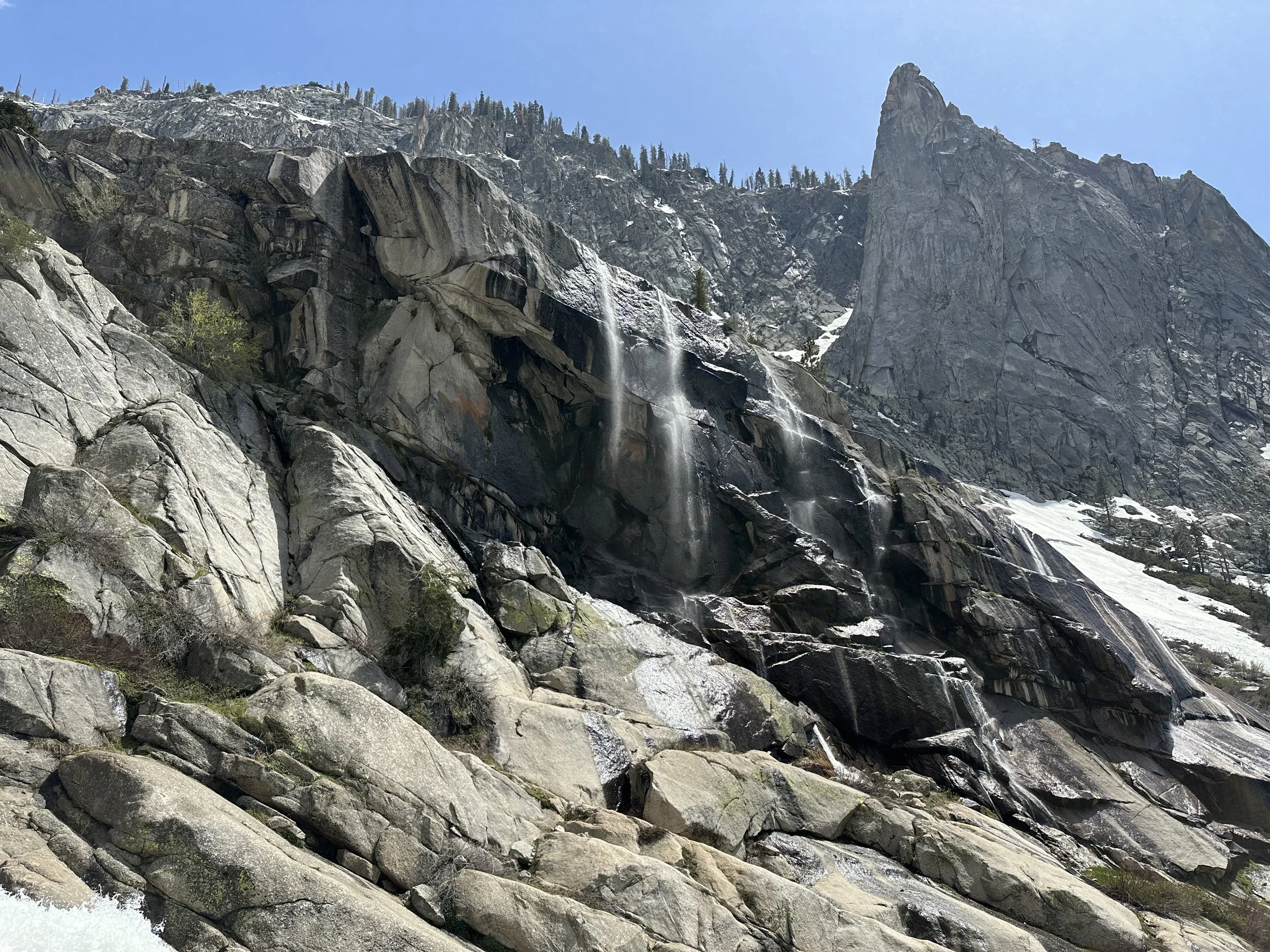
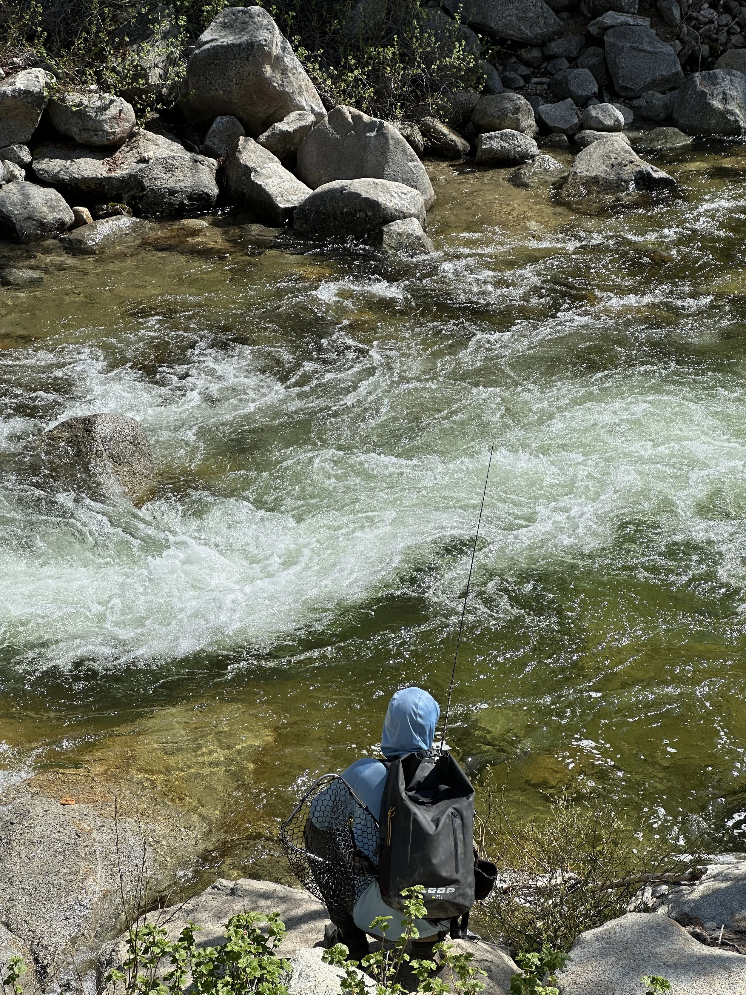
The last hike we took in the park was also the most difficult. This was the hike to Marble Falls via the Marble Falls Trail. According to my Apple watch this was 6.83 mile hike with a 1,567 feet elevation gain. The trail was nearly straight up, mostly exposed to the sun and not well defined. Because of the difficulty the trail is not used as much and was overgrown, so foot placement on the rocks was tenuous. Along the trail, we saw beautiful flowers and awesome view of the hillside and surrounding mountains. Marble Falls was really roaring with the spring snow melt and the power of the water flowing almost sounded like a train streaking by.
This was our second trip to Sequoia and we promised to return. This national park did not disappoint.
Deer on the trail to Moro Rock
Marble Falls
Marble Falls
Marble Falls