Salt Lick Nature Area
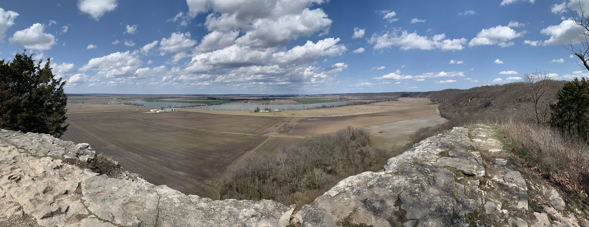
View from the peak of the Salt Lick Trail
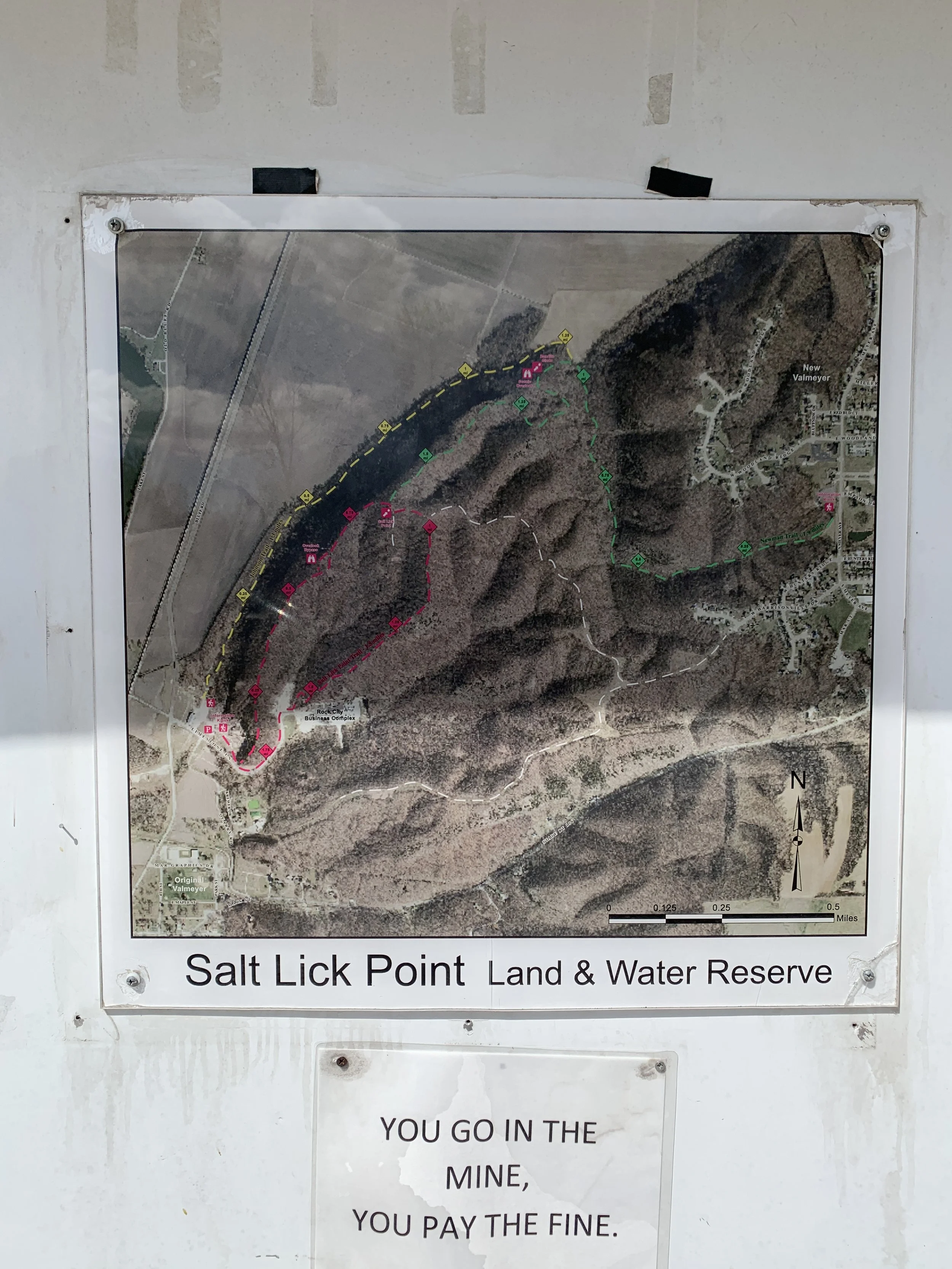
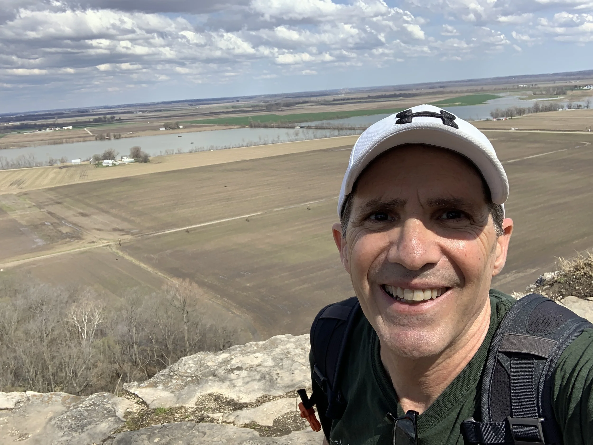
My hike on Sunday 3/26/2023 was the Salt Lick Nature Area. It was a nice scenic drive to the nature area. The distance was a short 15-mile drive to the trailhead crossing over the Mississippi River using the JB Bridge. This 594-acre nature reserve in Monroe County Illinois provides 5 miles of trails for some excellent half day of hiking. The elevation gain to the peak is 810 feet (according to the trail map) and you will not be disappointed with the stunning views at the top. I was by myself for this hike.
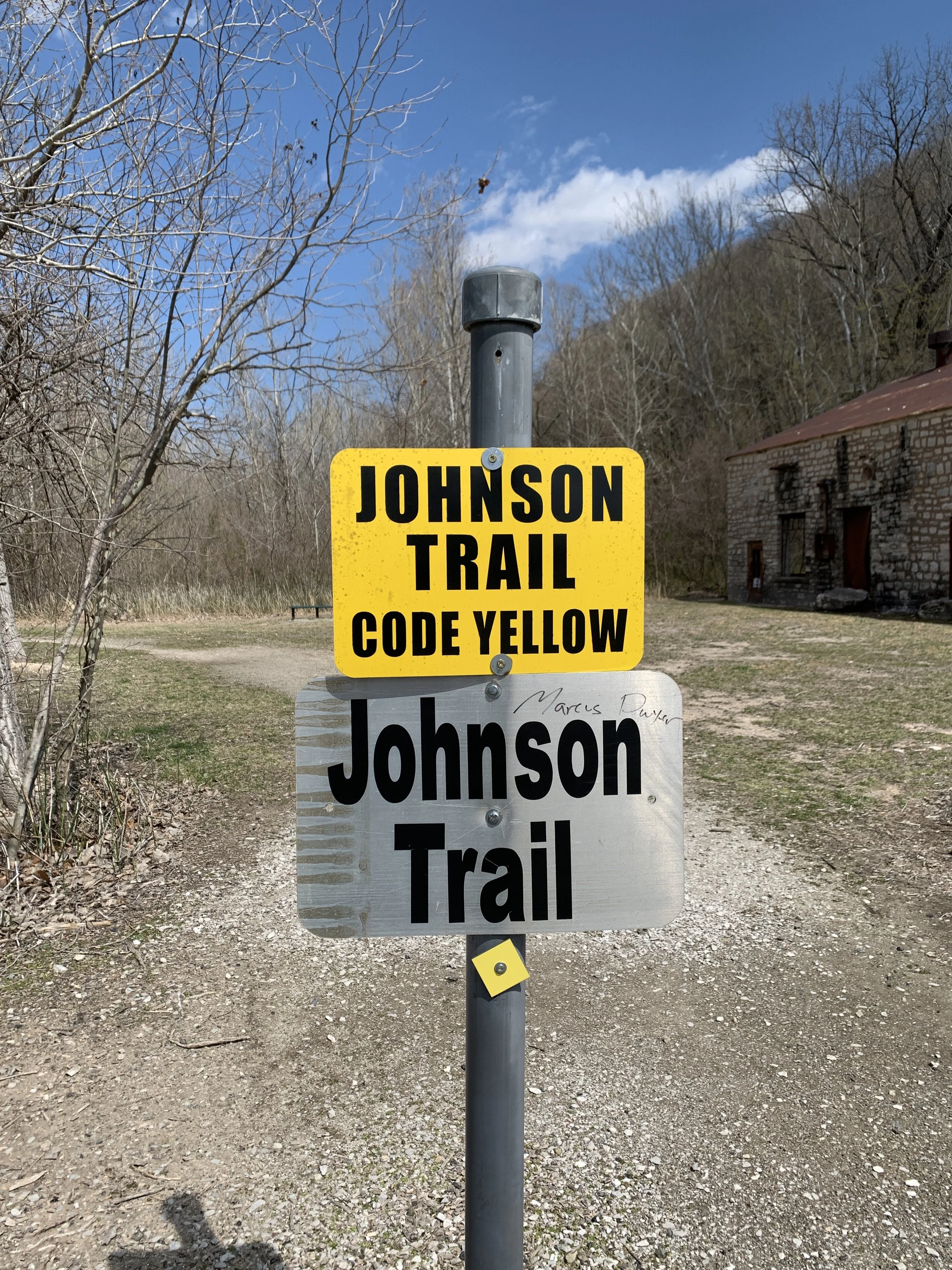
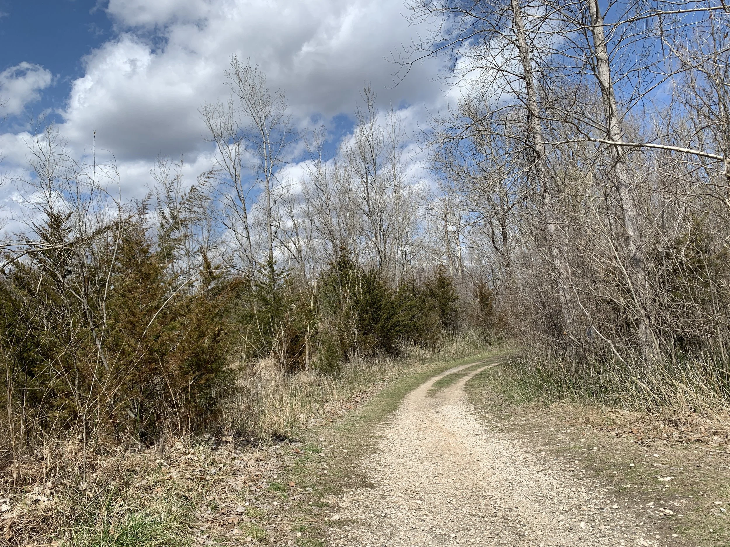
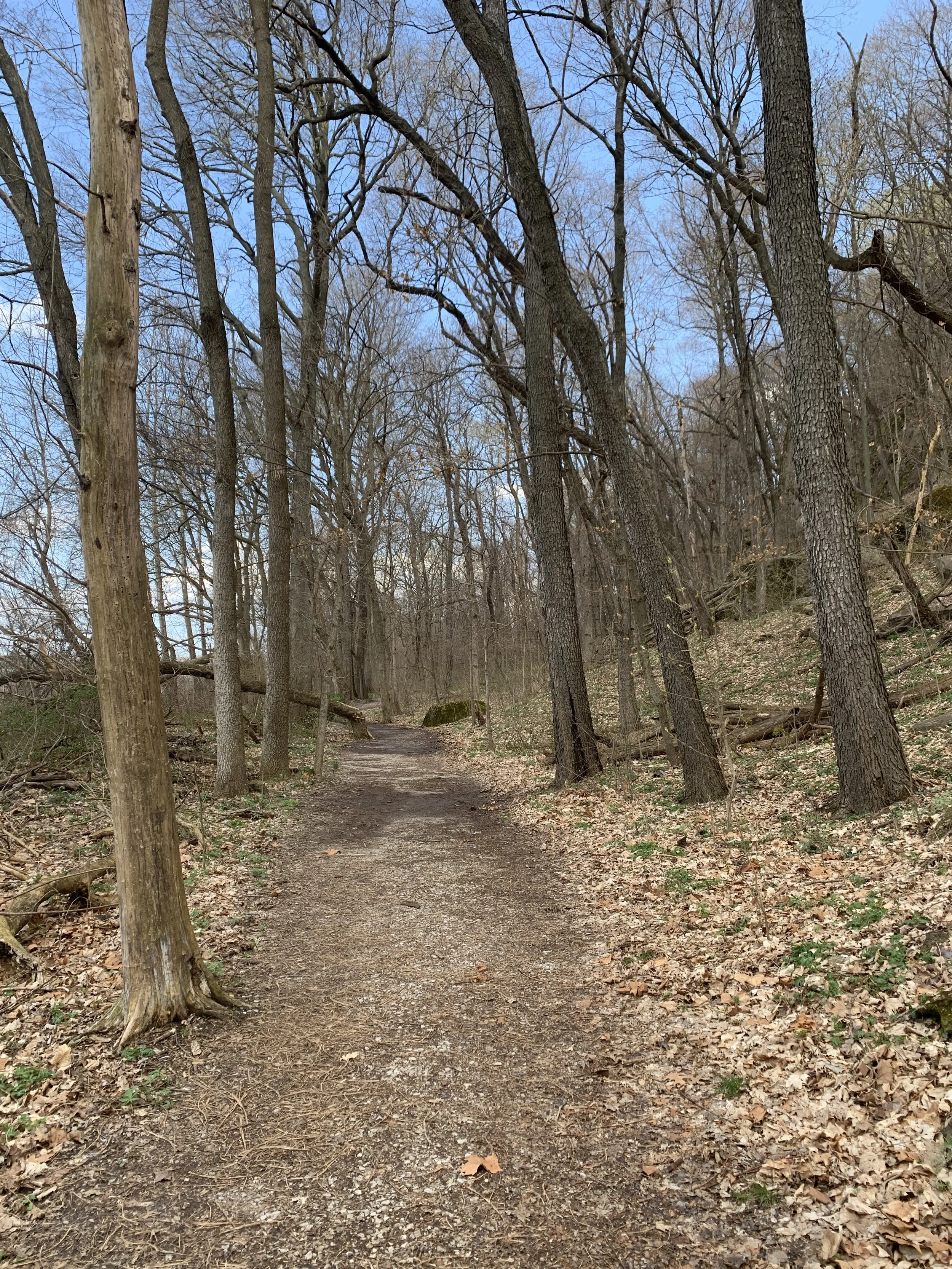
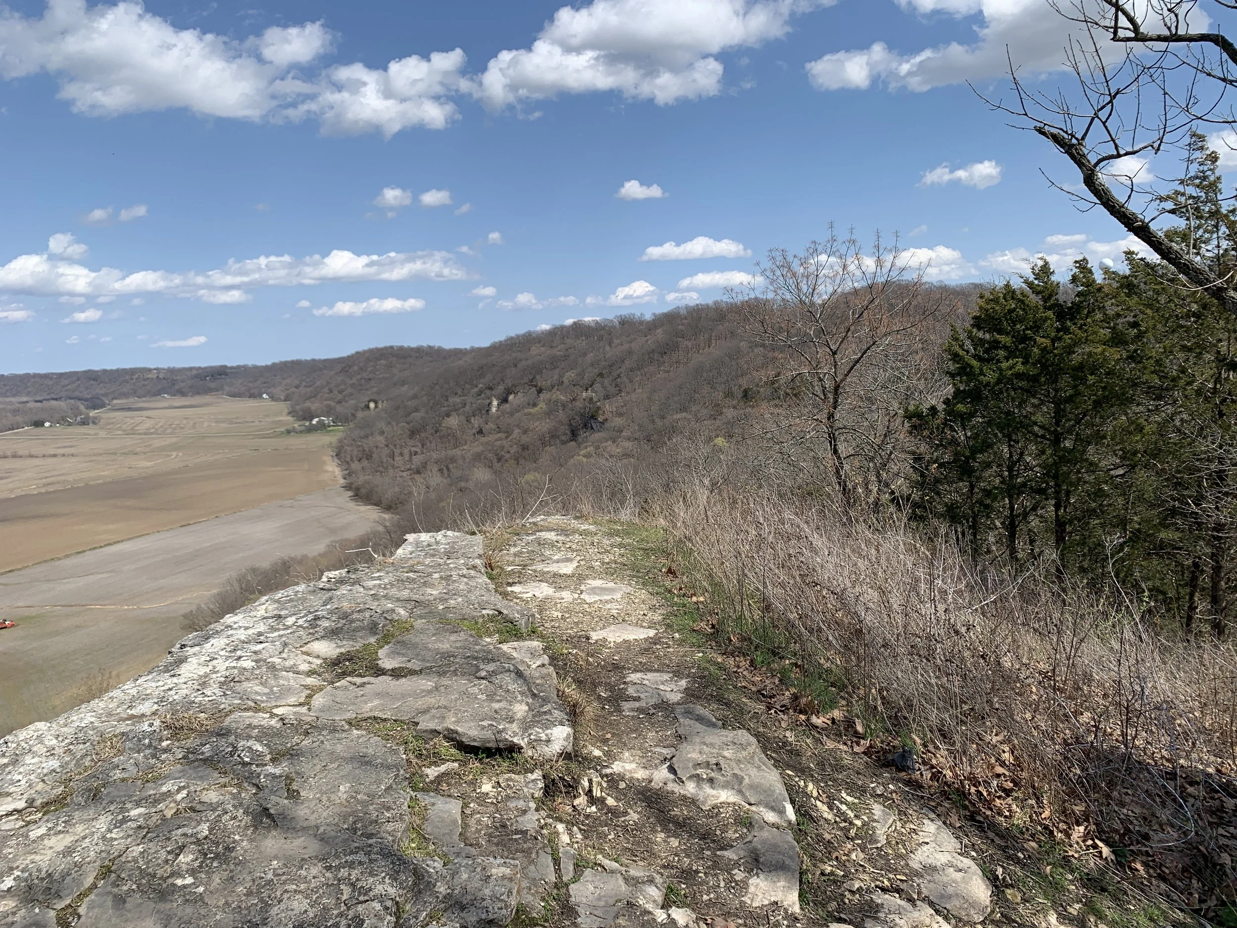
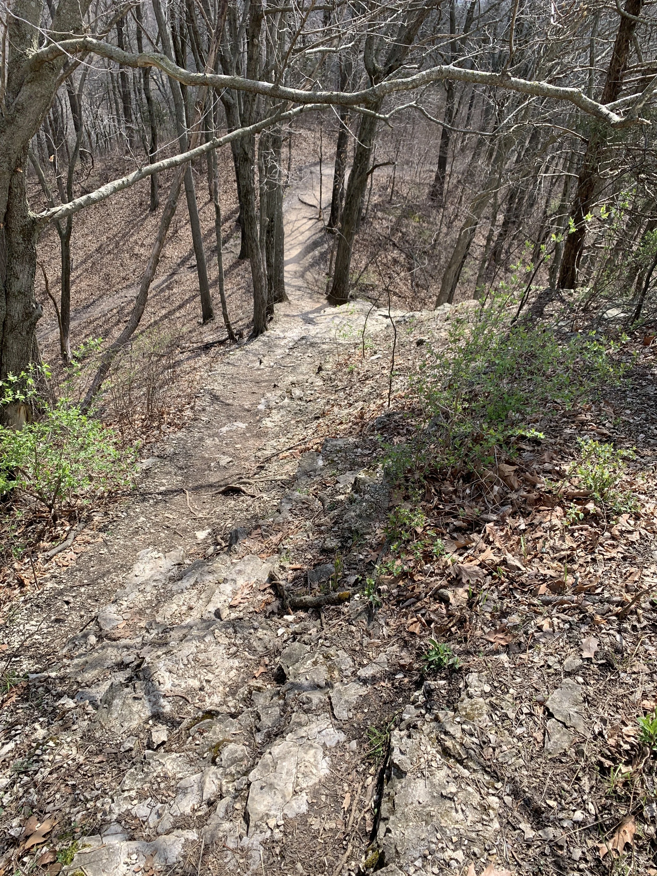
There are 3 trails and trailheads that form a couple of different loops. This allows you to pick your preferred distance and terrain. The Johnson Trail offers and easy 1.3-mile hike along the bottom base of the bluff. The Salt Lick Point Trail is a 1.8-mile loop that provides beautiful views across the Mississippi River flood plain. Note this is a very steep trail. The Newman Trail is a 1.9-mile trail that connects to both the Johnson Trail and the Salt Lick Point Trail. The trail was dirt and some gravel, but overall, not hard to traverse.
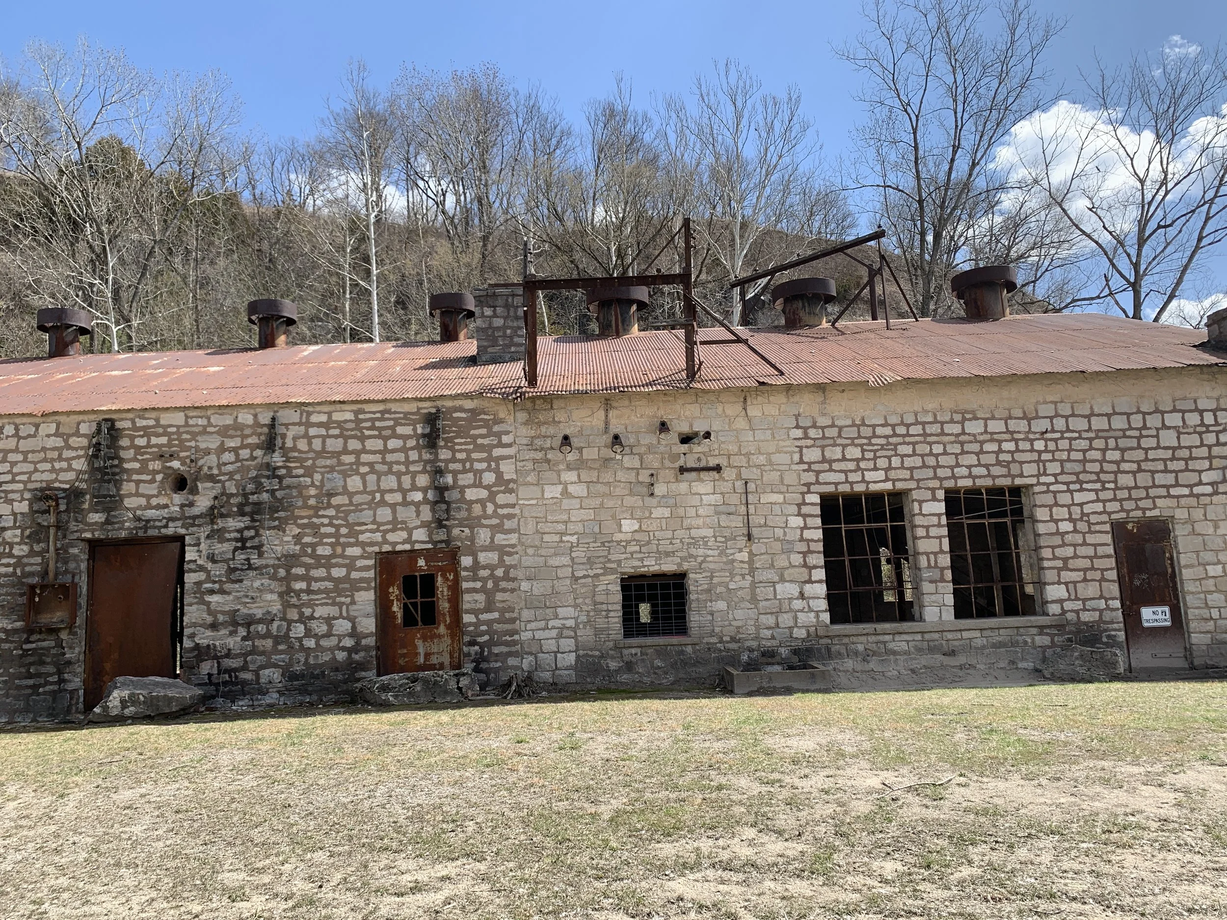
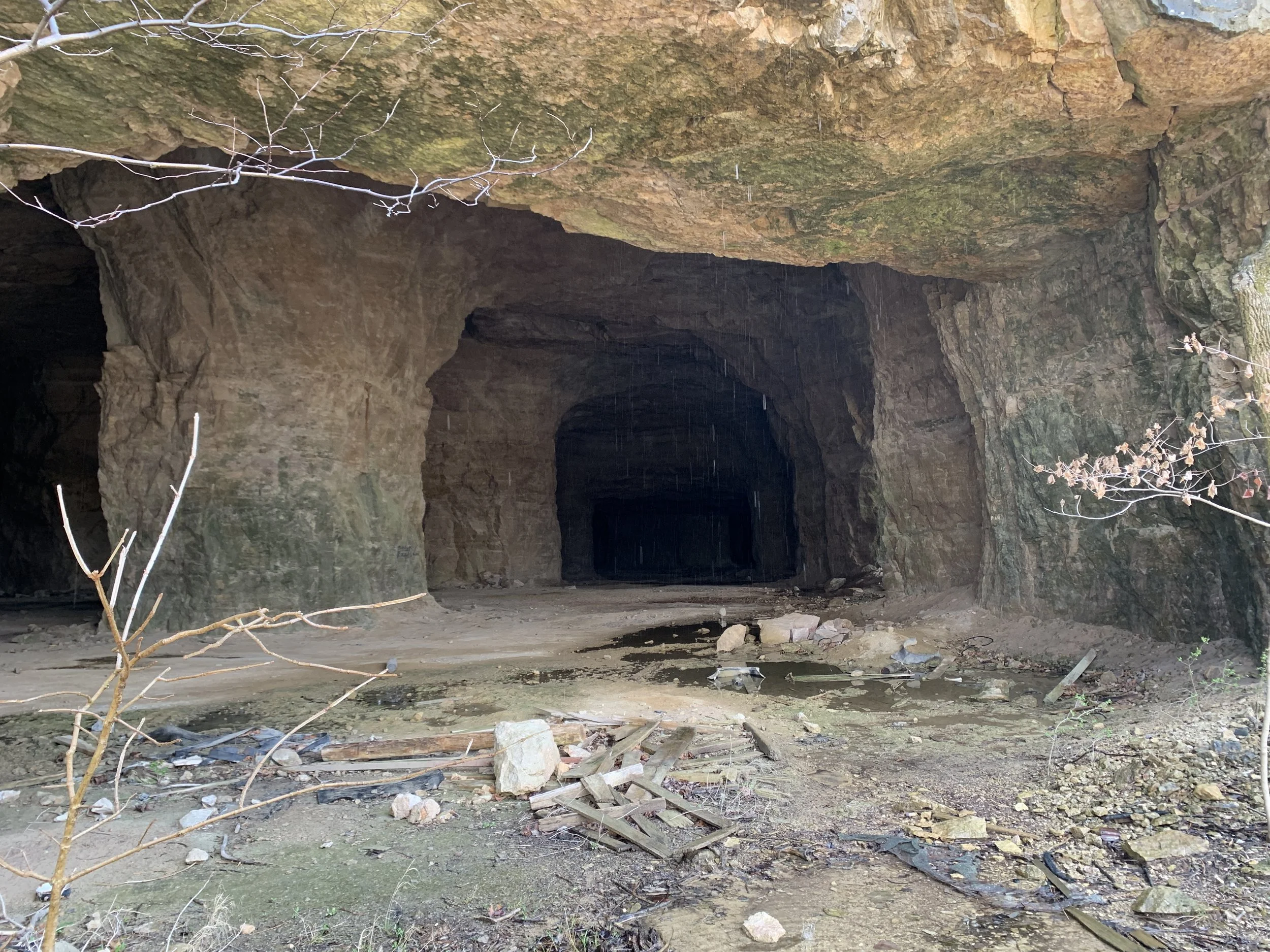
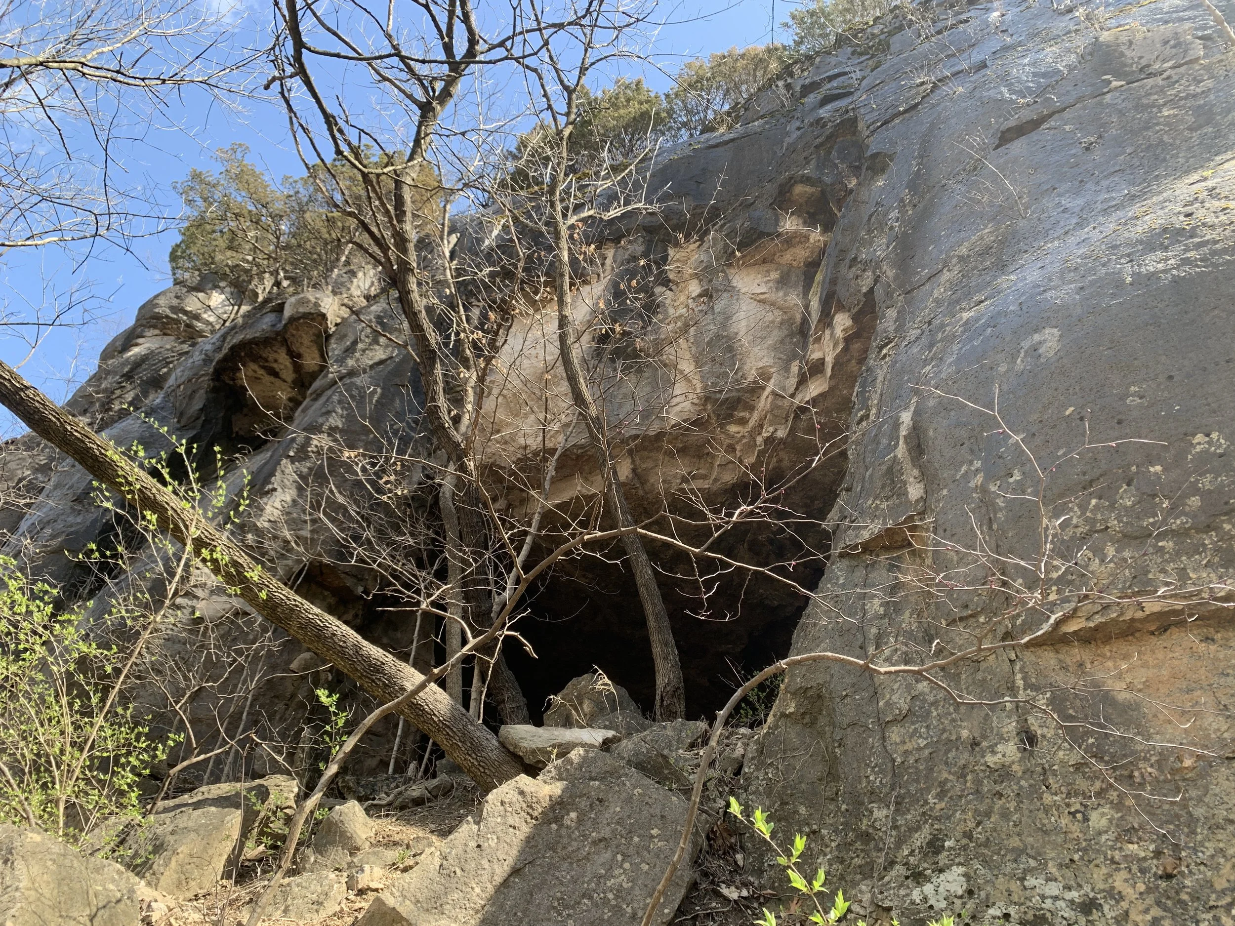
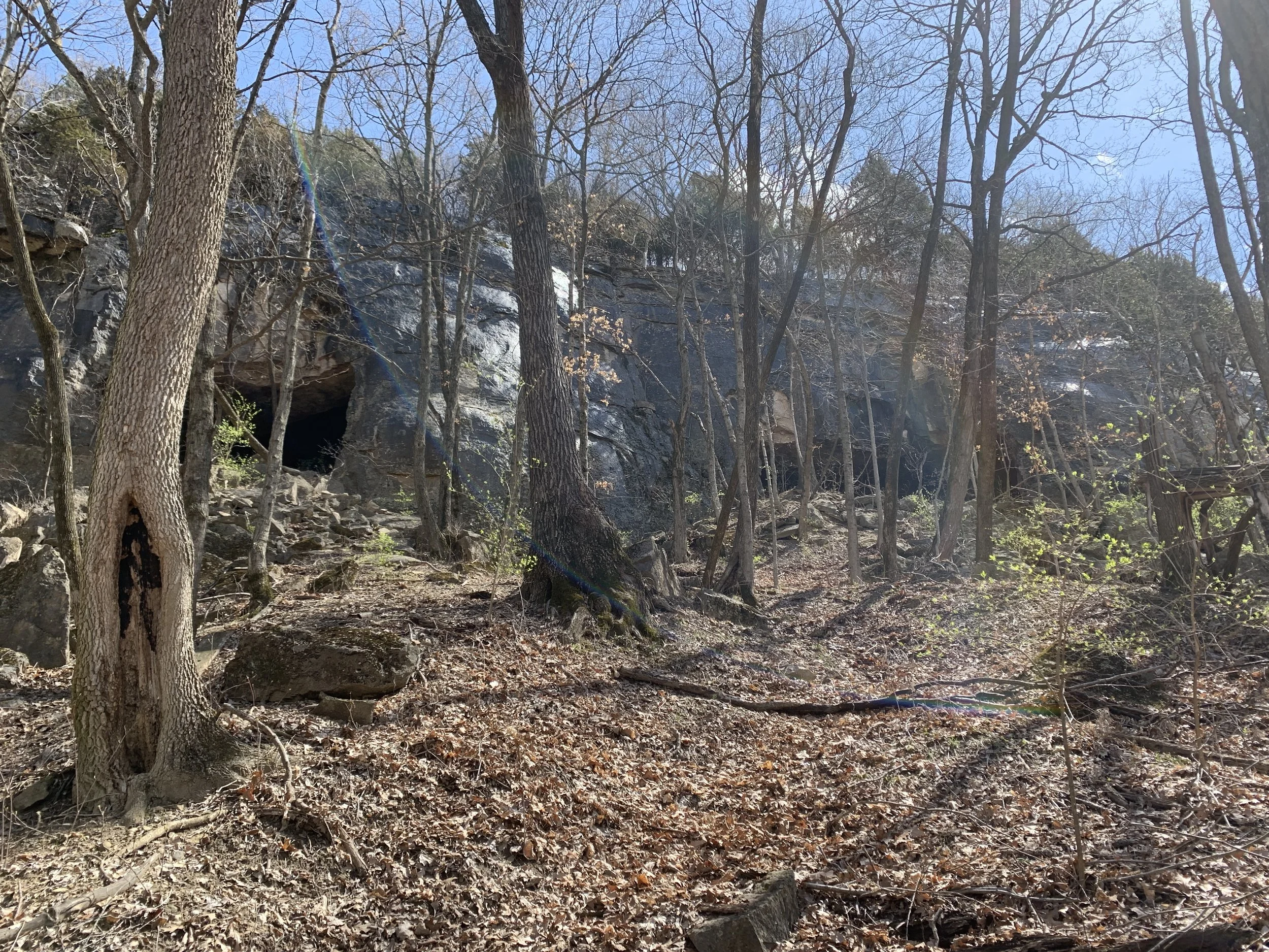
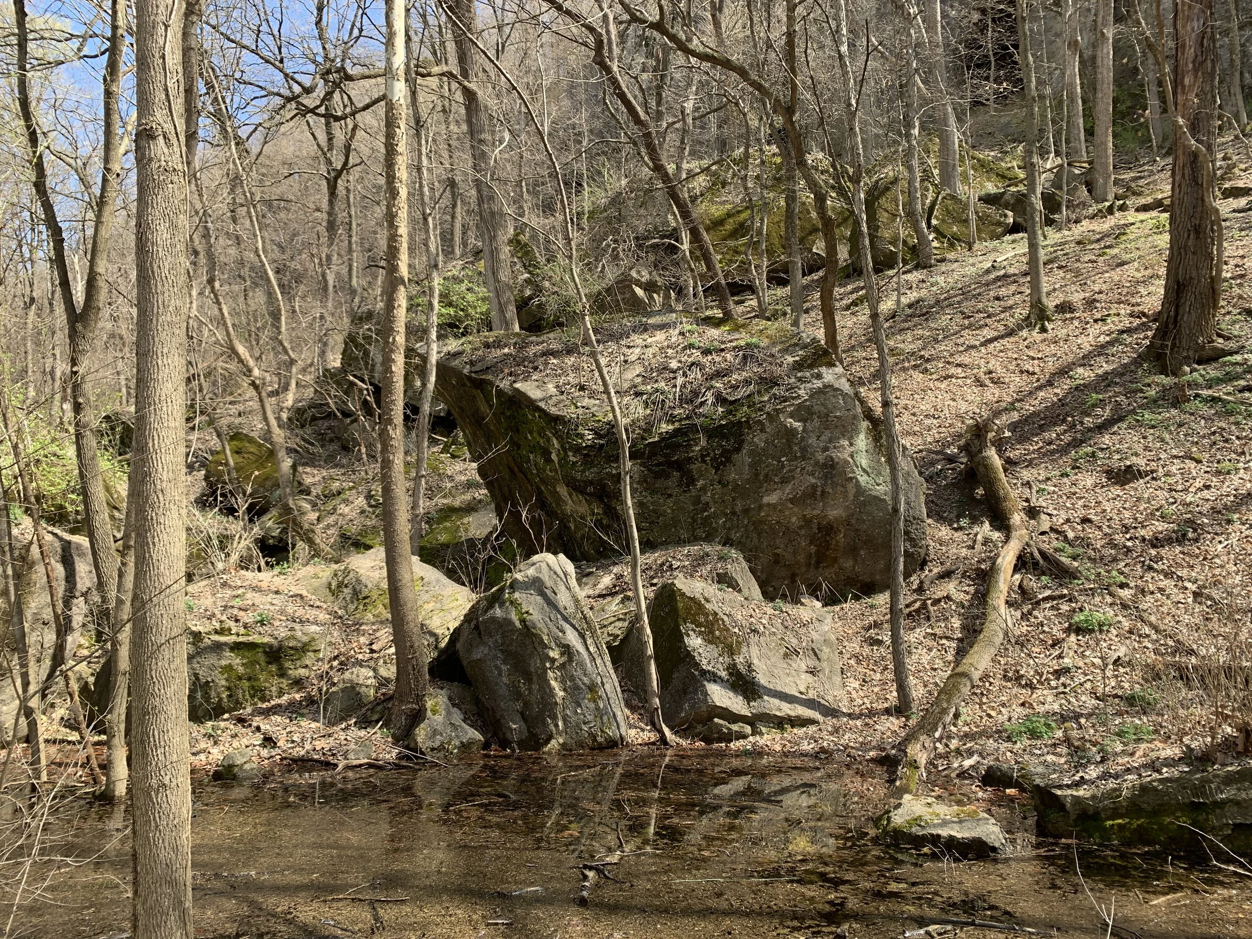
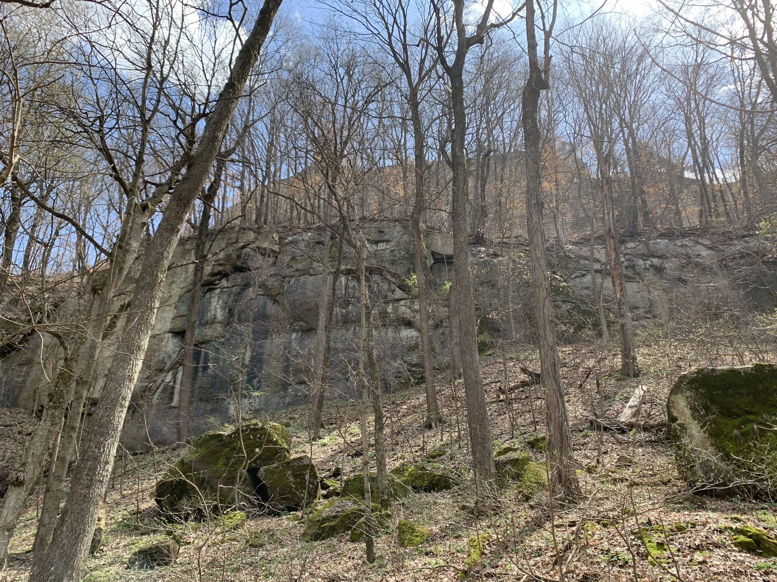
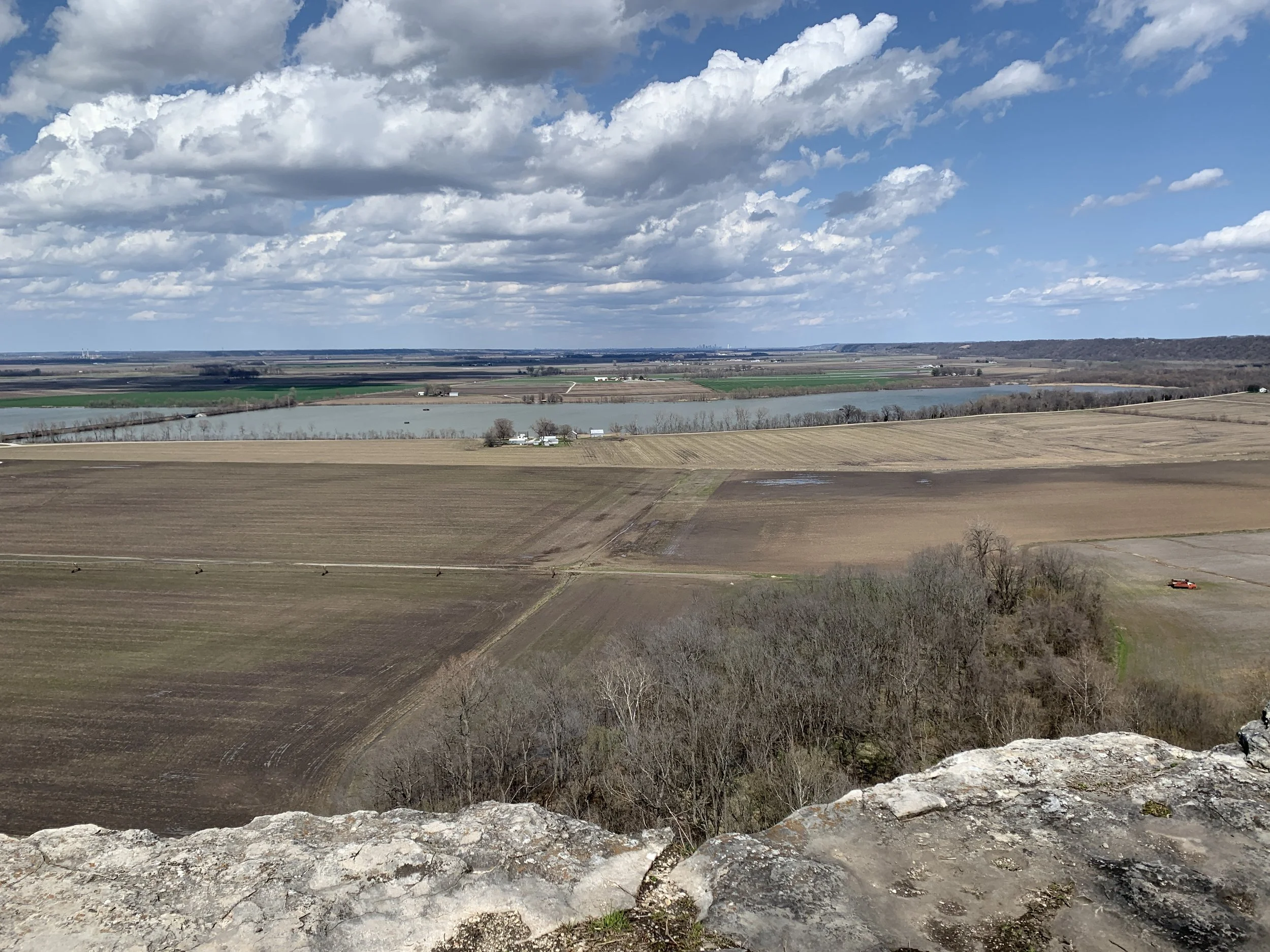
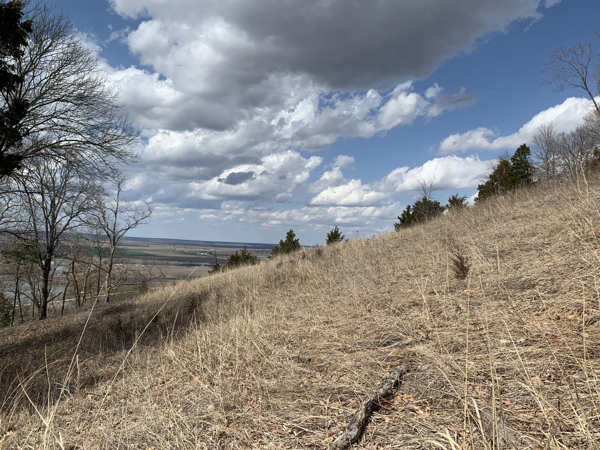
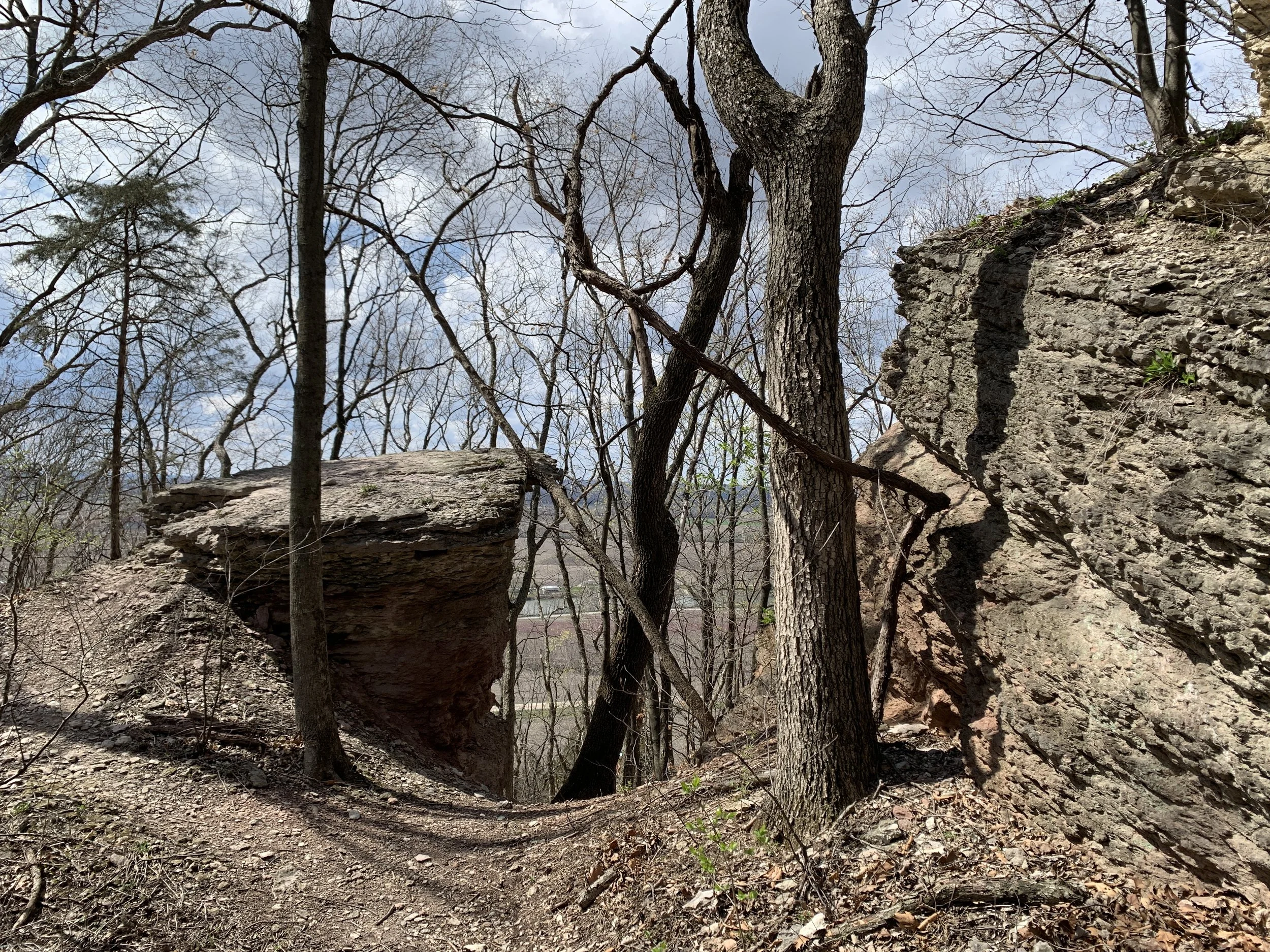
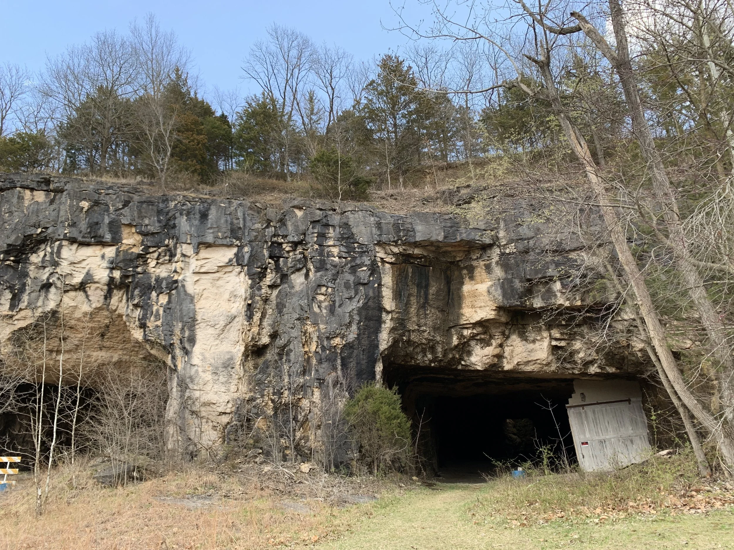
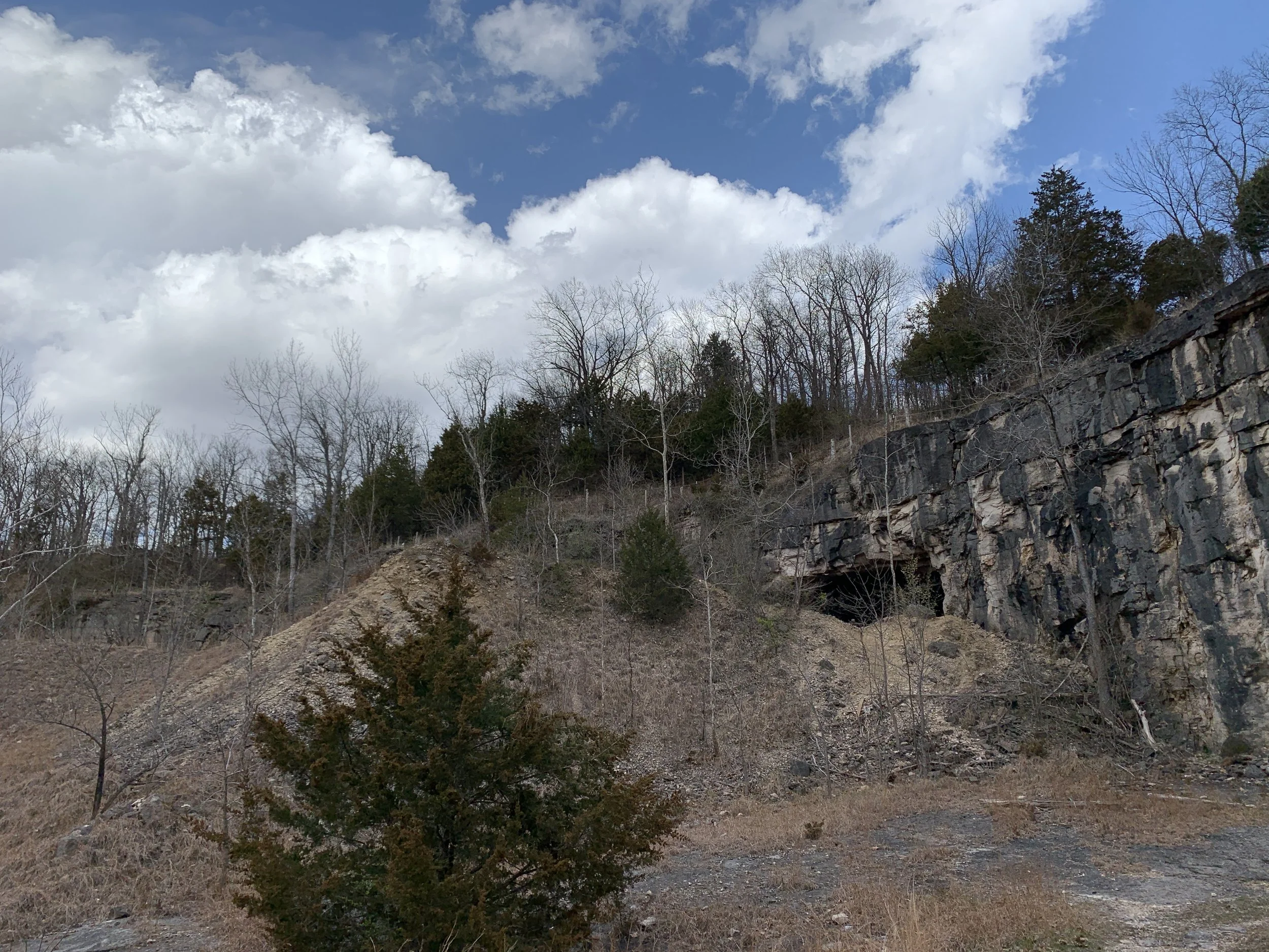
I hiked the Johnson Trail and connected up to the Salt Lick Point Trail. The day was overcast with a temperature in the low 50’s. Hiking along the Johnson Trail you look up to a spine of limestone bluffs on one side and lowland farms of the Mississippi river valley on the other side. A short, but steep scramble up to the limestone bluffs allowed me to see inside the “cave”. Note I did not go into the cave, as it not allowed and you will be fined if caught. Once you see inside you realize it’s not cave at all, but rather a mine hole clearly carved deep into the limestone. I took some pictures which are in the gallery below.
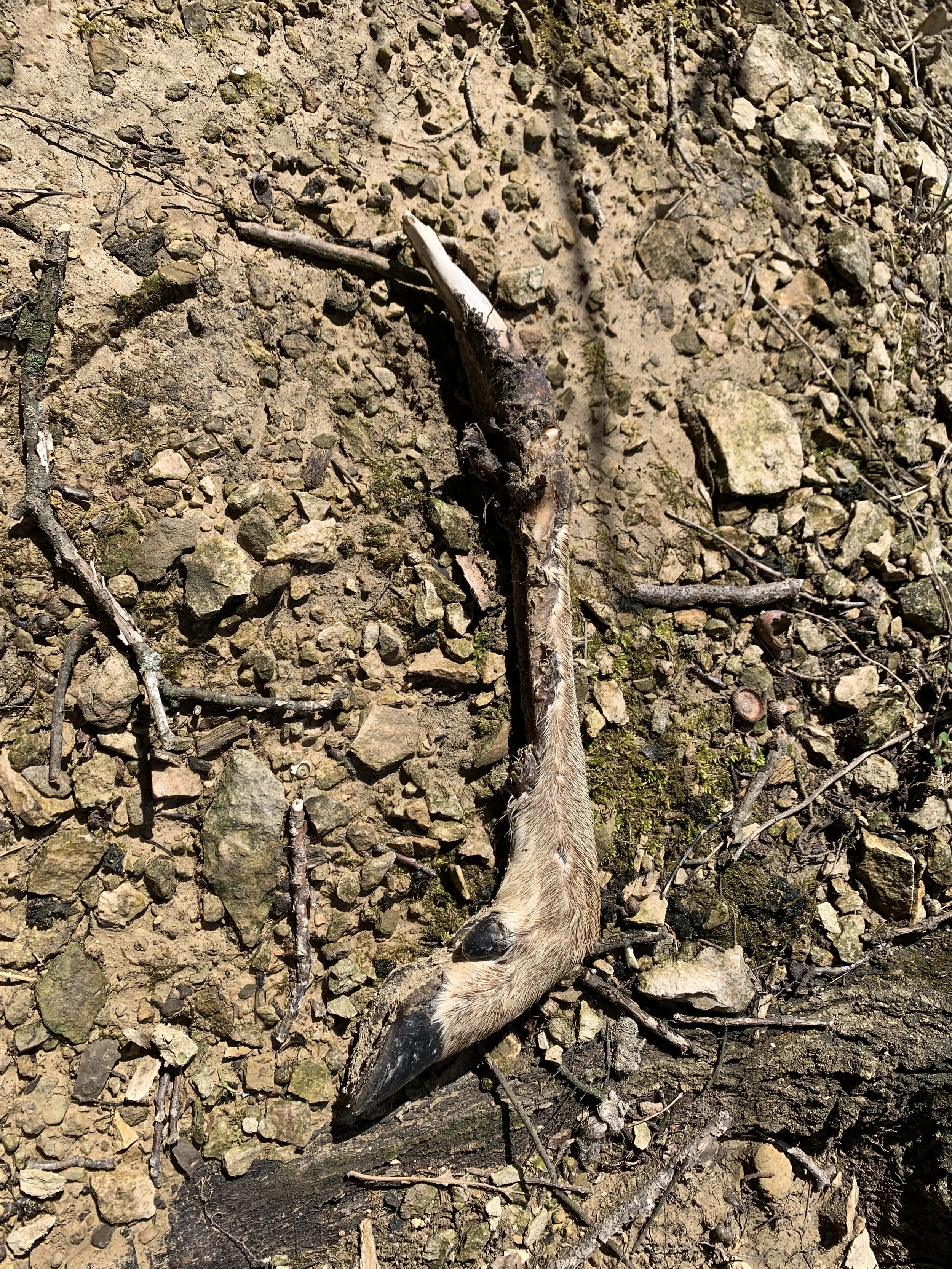
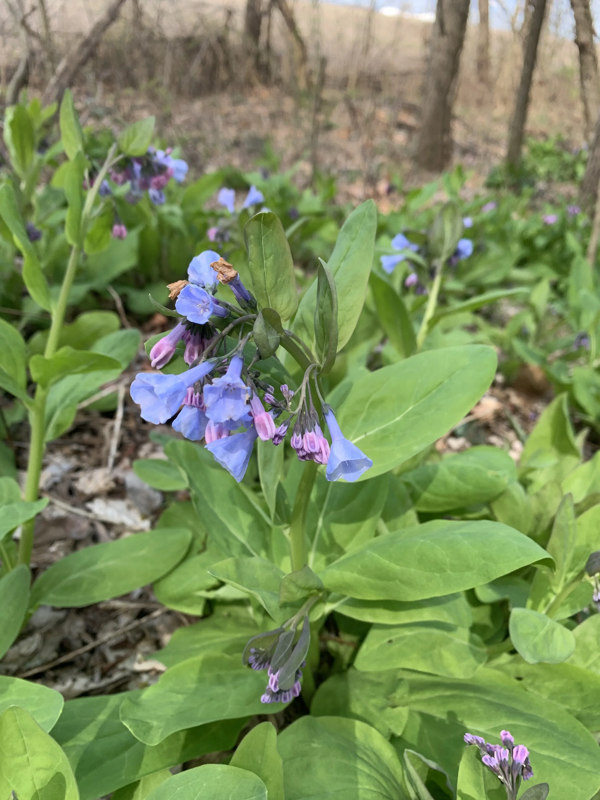
Once you reach the peak at Salt Lick Point there are simply beautiful views of the river valley as you can see as far as the city of St. Louis. The hike is a unique experience that is significantly different from most of the Missouri hikes but not much further away. There was one deer and a number of Blue Jays near the trail, but they did not hold still for a picture. The trail was not crowded by any measure, but there were a number of hikers out that day.
The hike took me 1 hour and 31 minutes with an elevation gain of 1,059 feet total. I covered a distance of 3.2 miles. Given how close this nature area is to my house and the beautify of the view at the peak, I will plan to visit this park again.