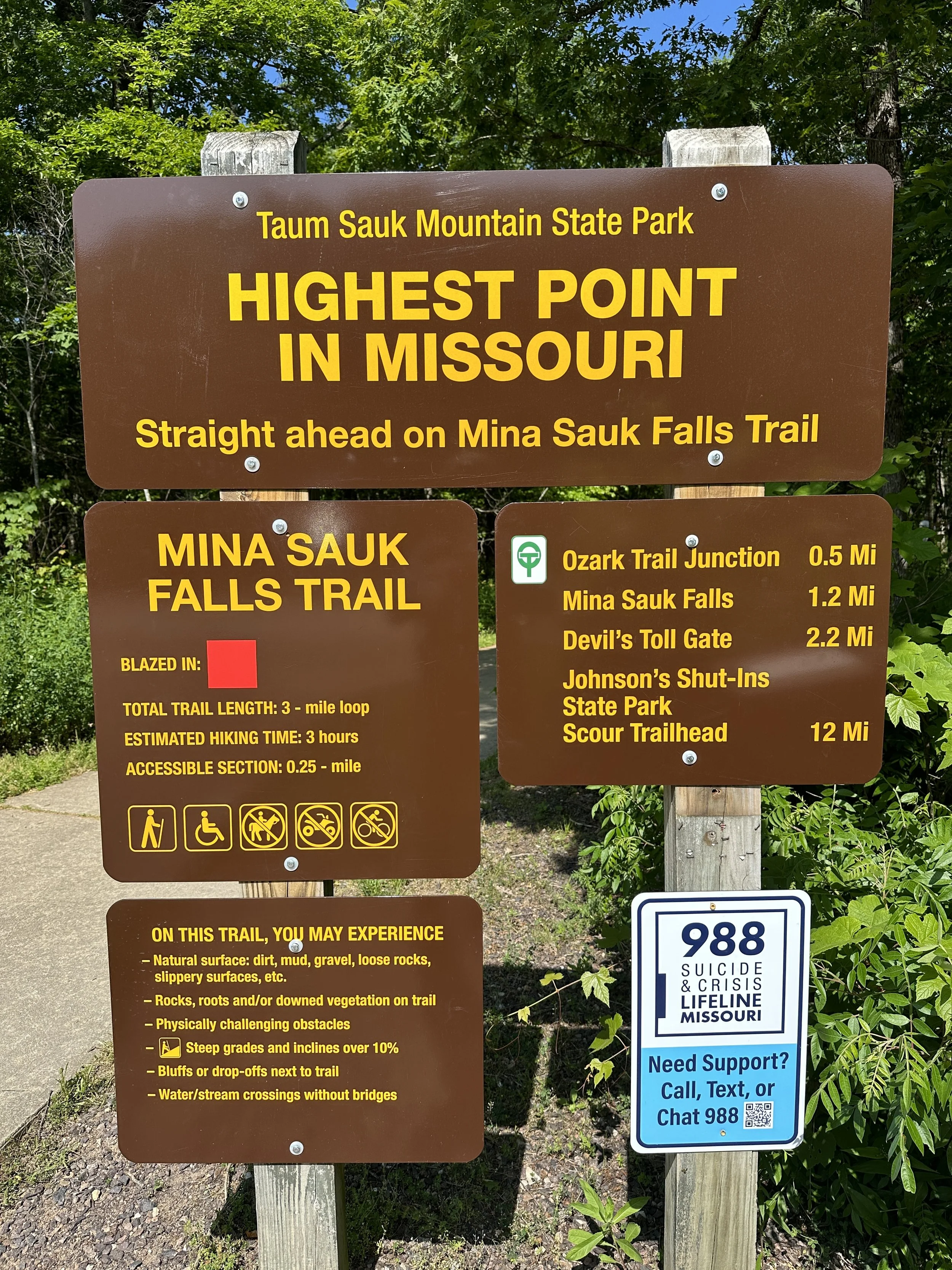
TAUM SAUK MOUNTAIN STATE PARK

Denise at the highest point in the state of Missouri - elevation 1,772 feet
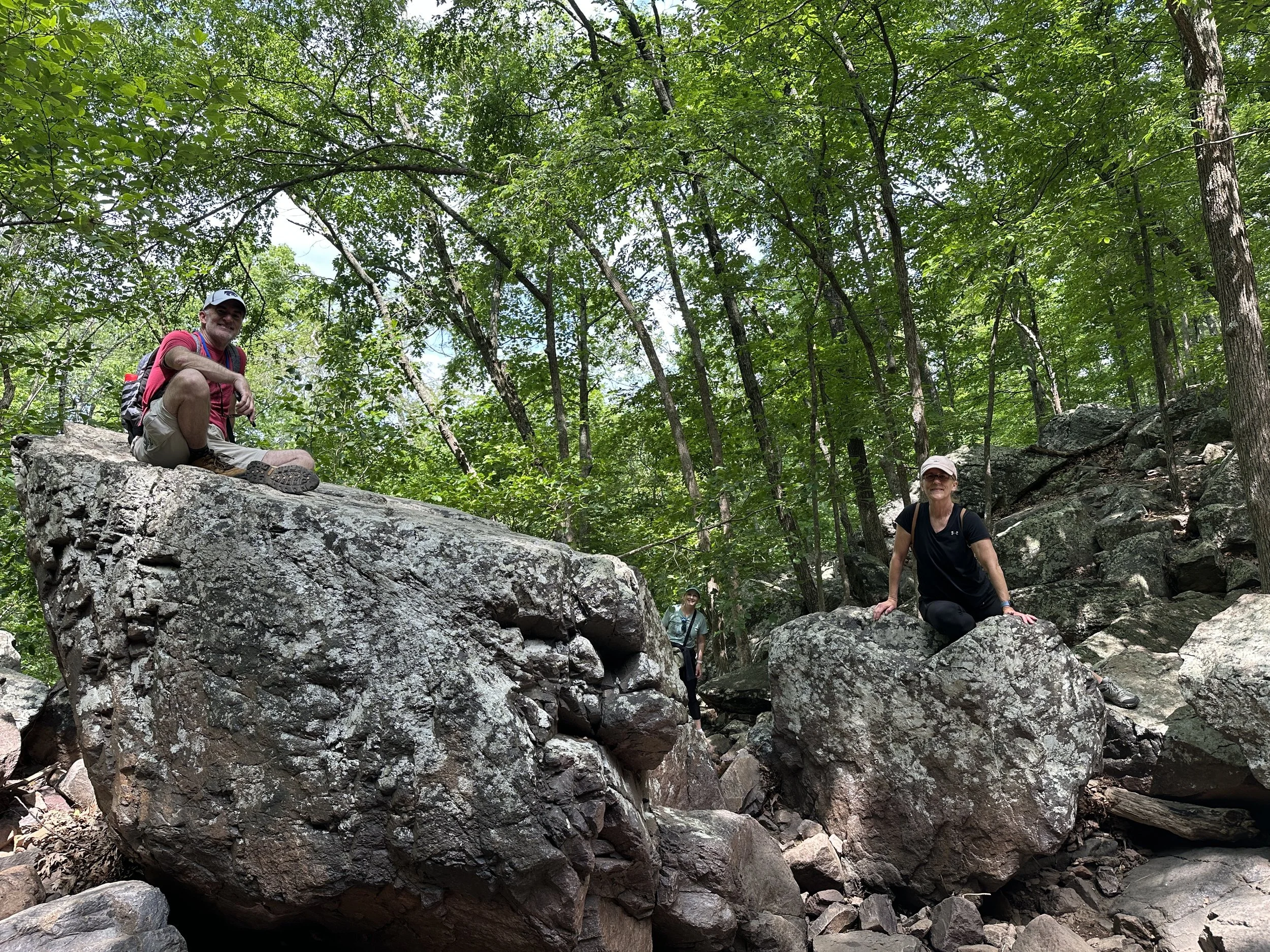
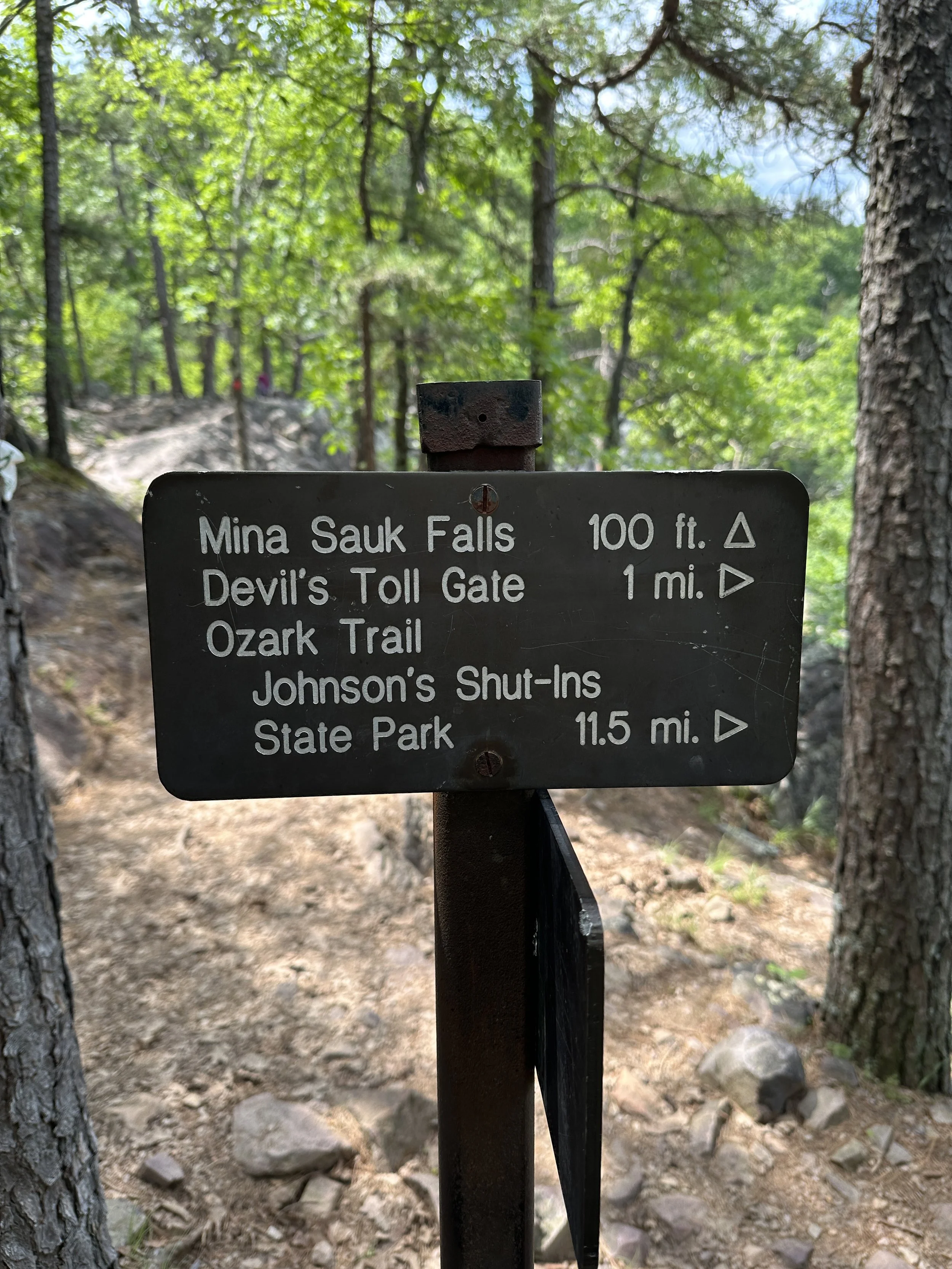
My hike for Sunday morning May 28, 2023, was Taum Sauk Mountain State Park near Ironton, MO. Its was a 1 hour and 35 minute drive from my house to get to the park. This was my first visit to this park. It was a warm spring day with temperatures around 78 degrees in the morning and by afternoon is was a bit hot with temperatures around 82 degrees. The plan was to hike the Mina Sauk Falls Trail at 2.9 miles and visit Johnson Shut-in State Park to dip in the shut-ins. Denise, Joe and Ann were with me today.
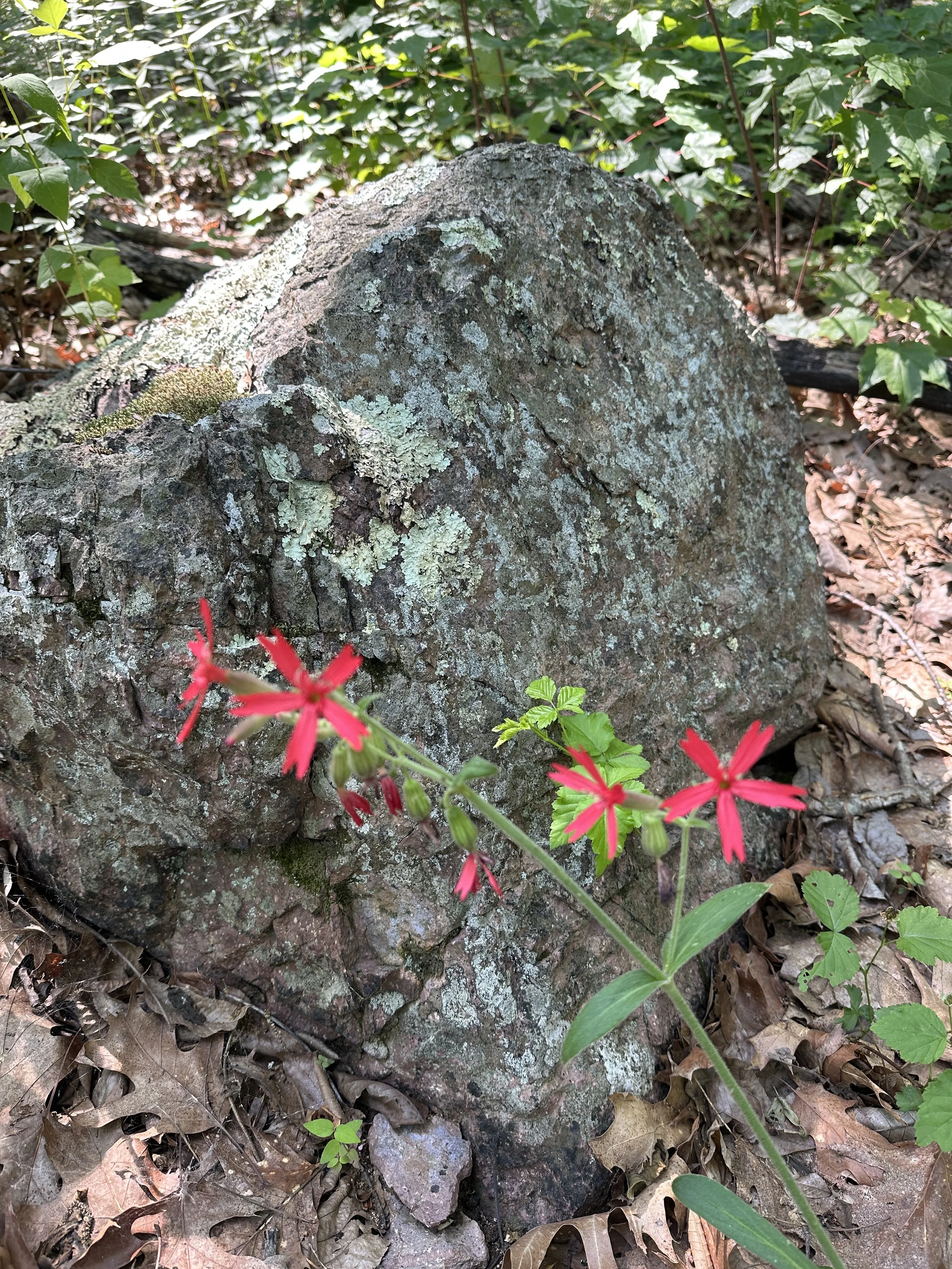
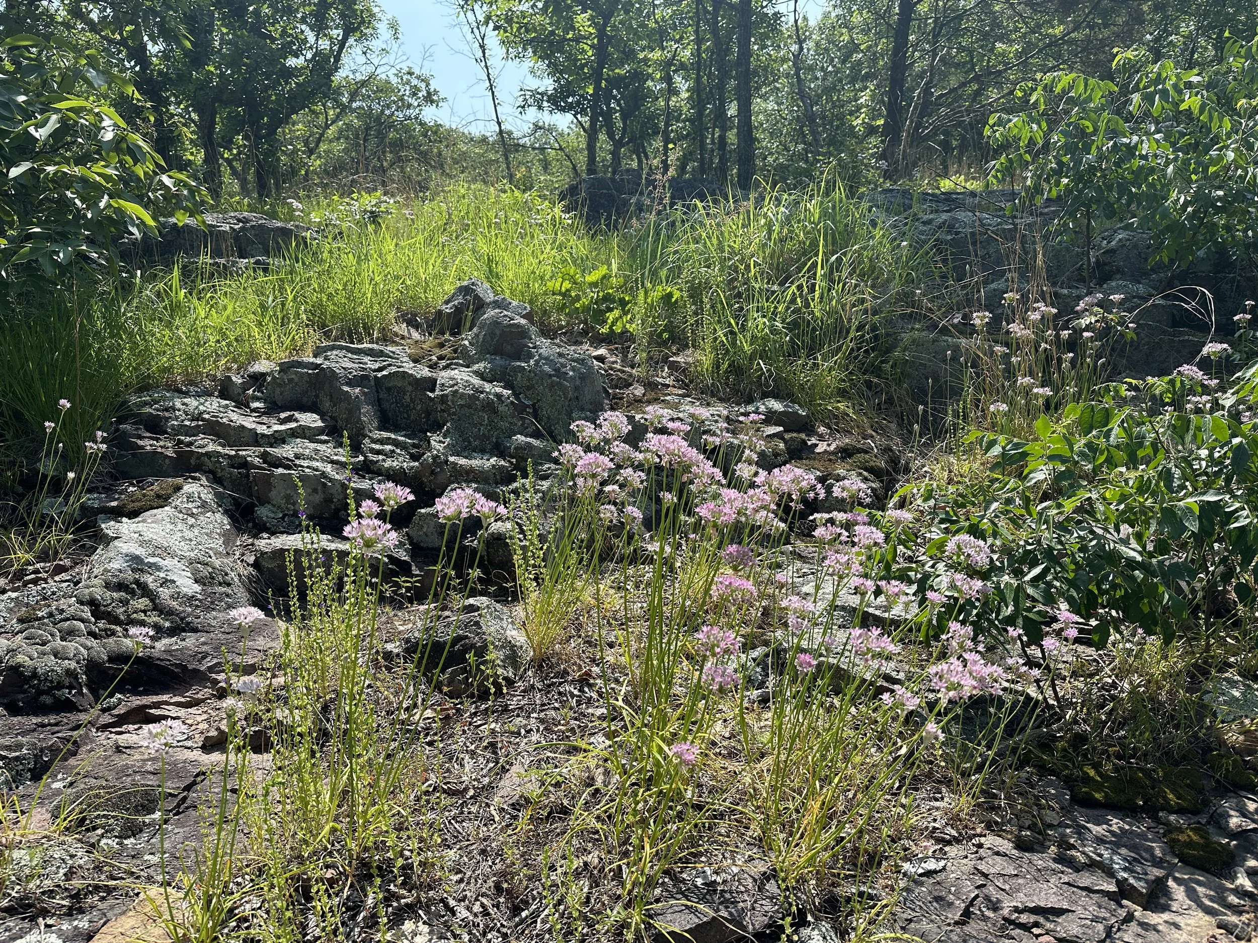
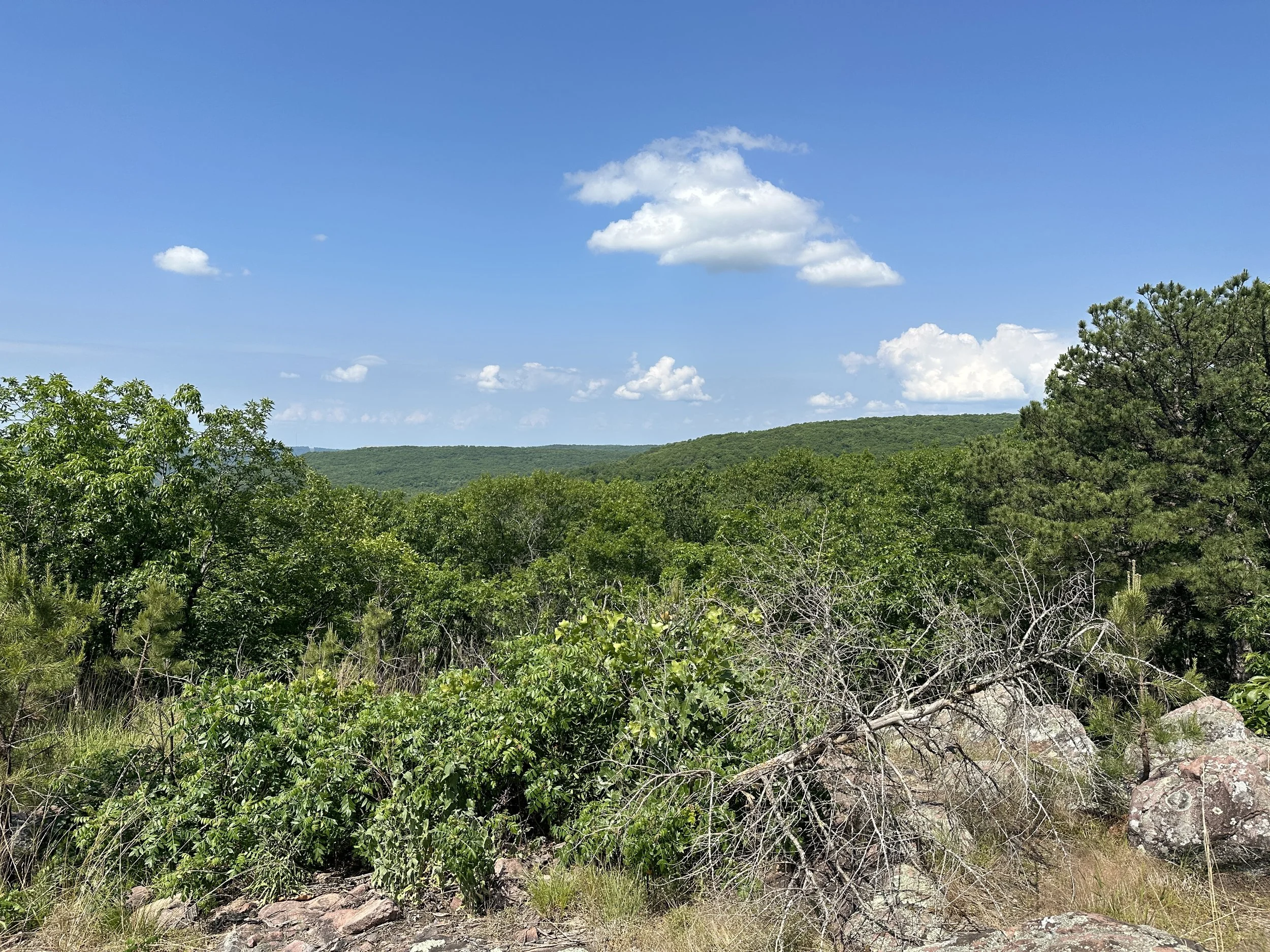
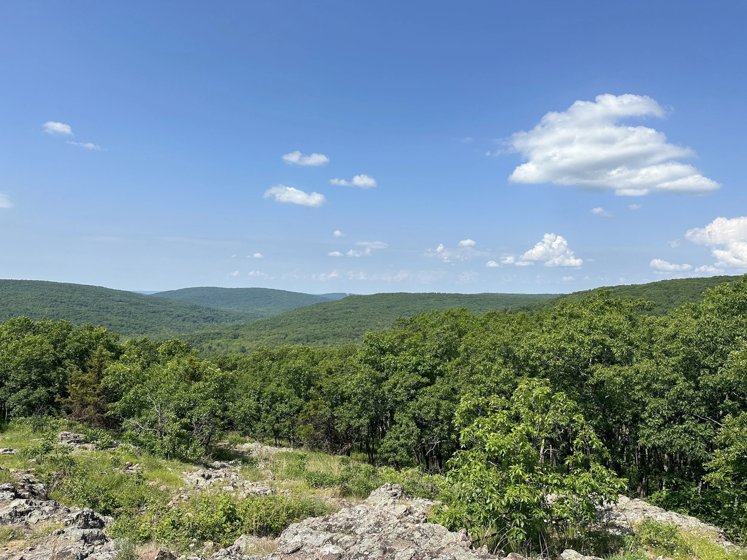
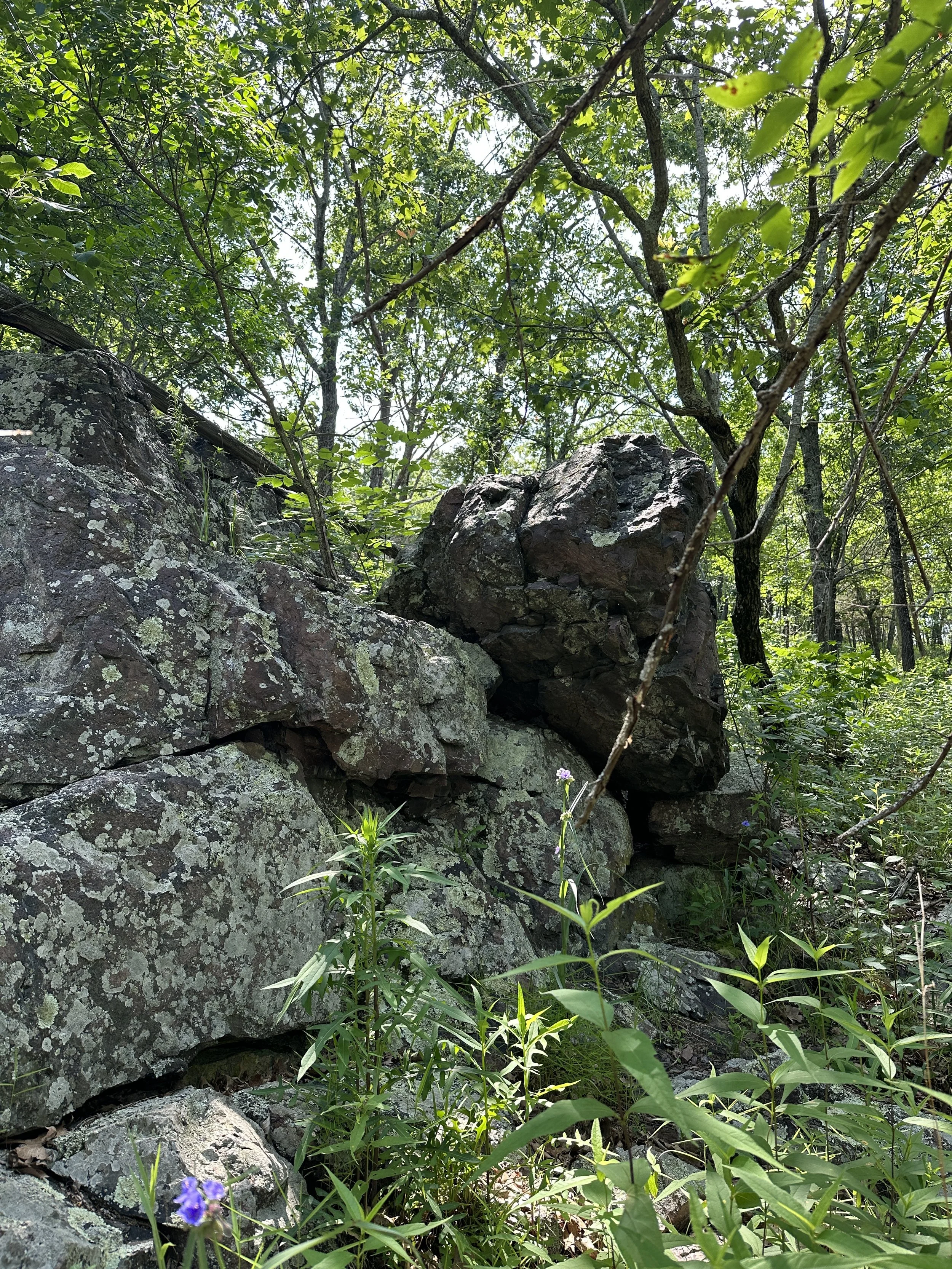
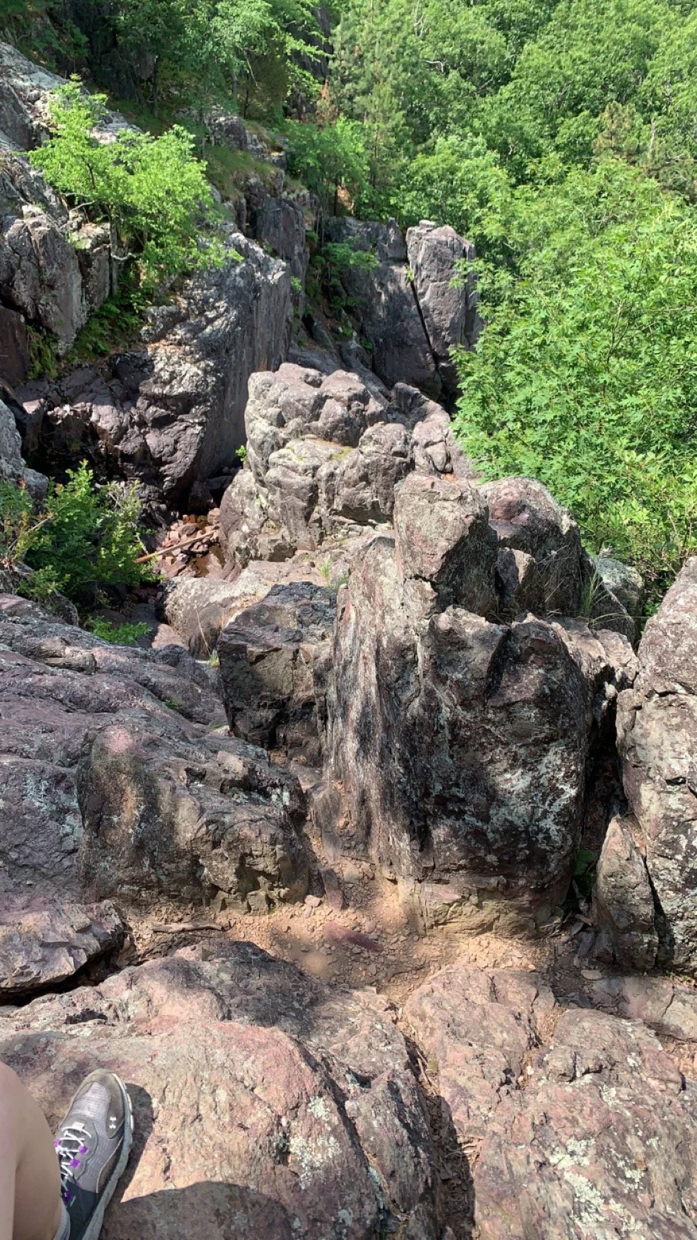
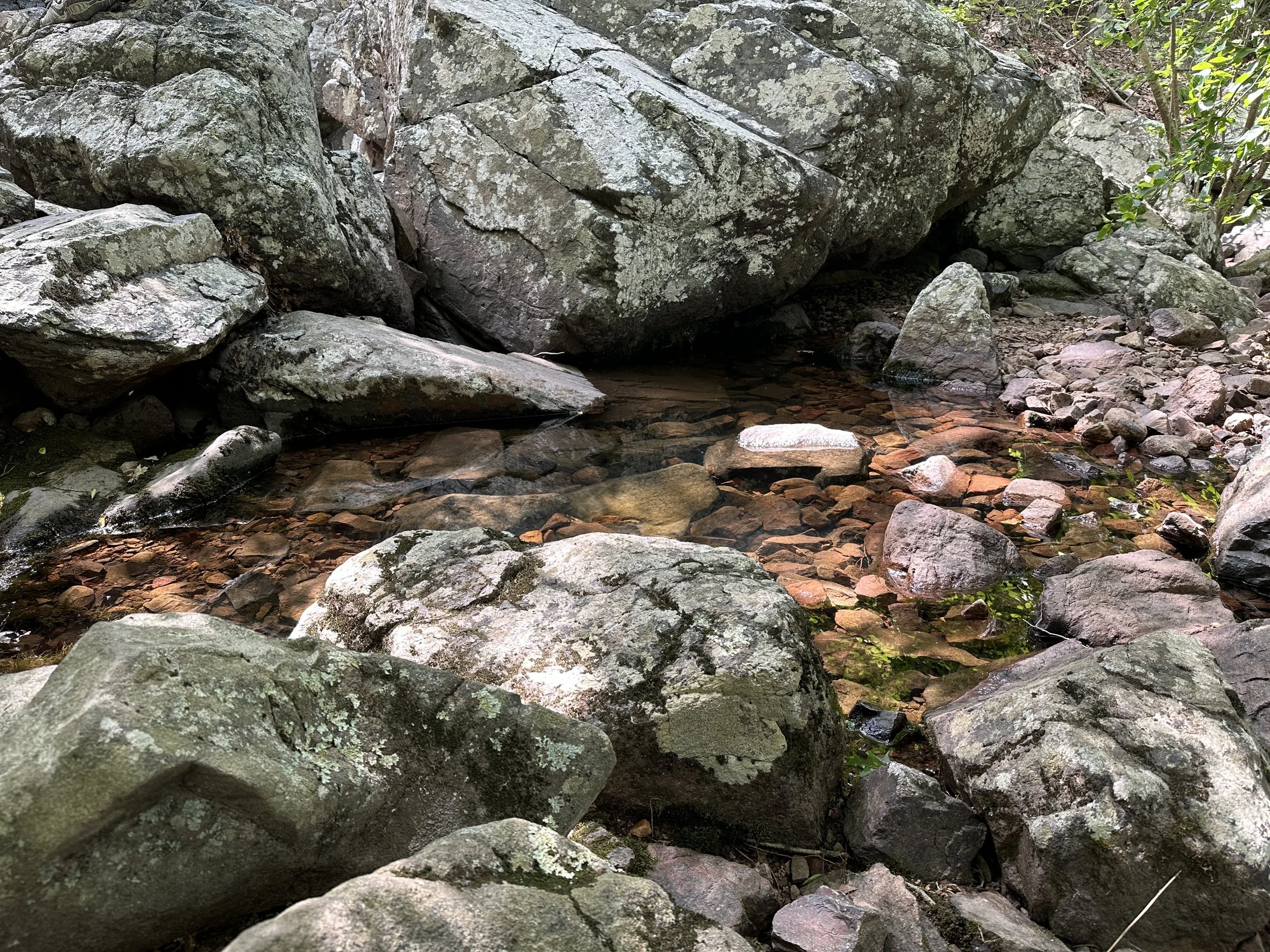
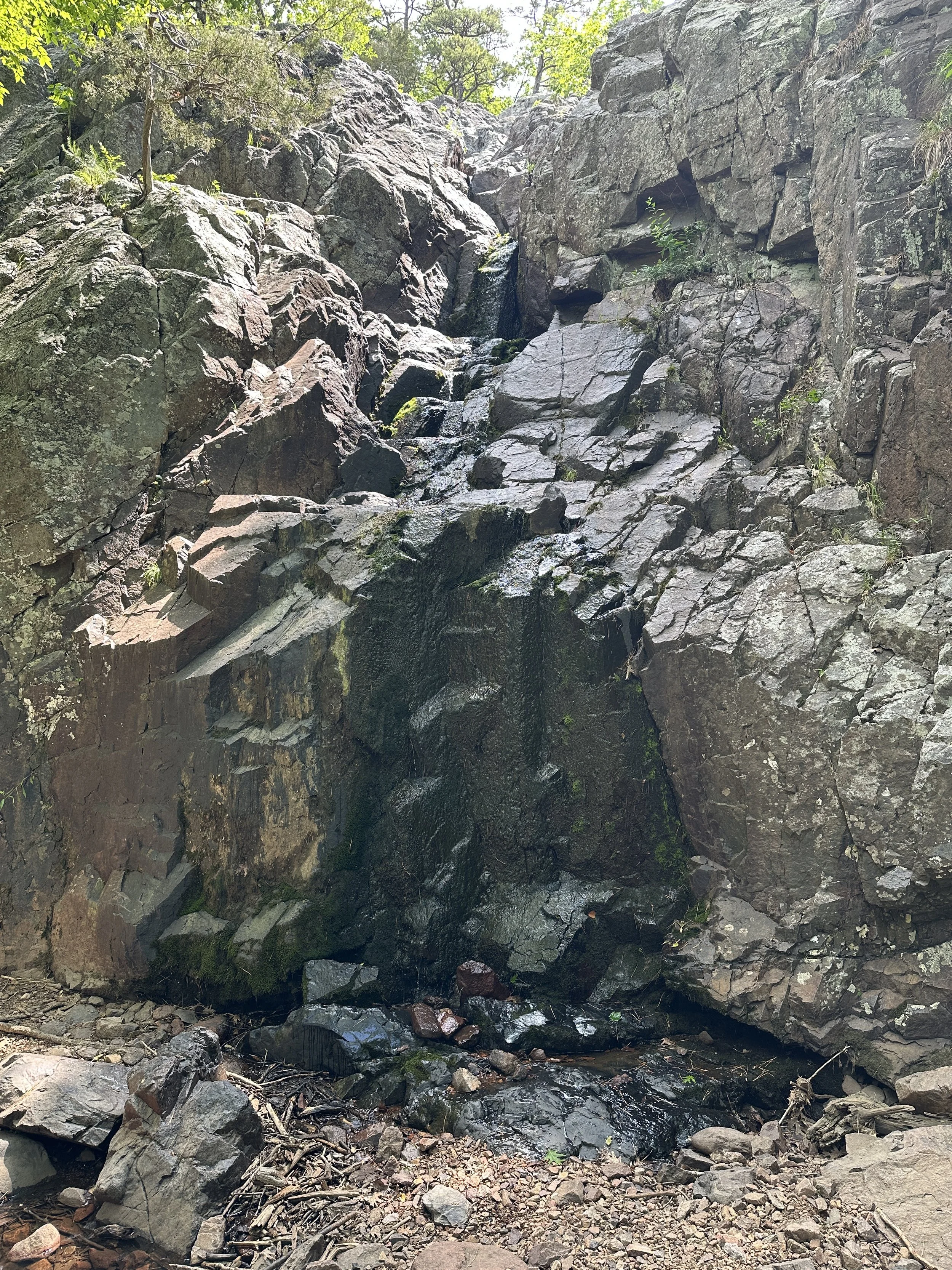
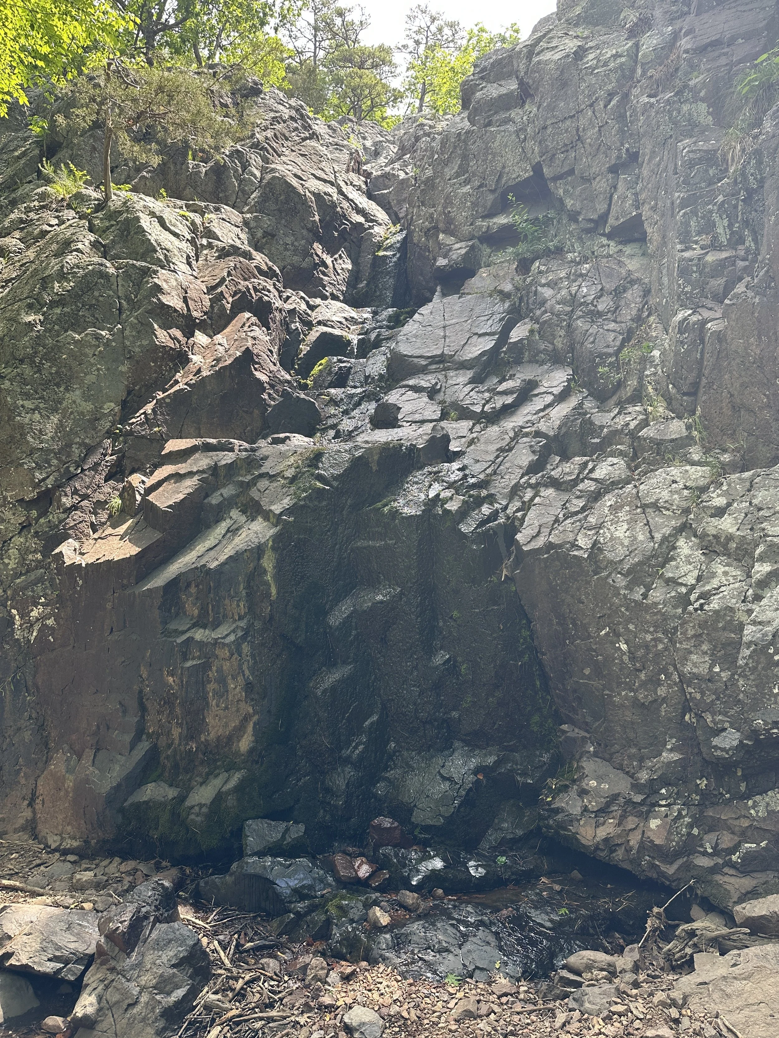
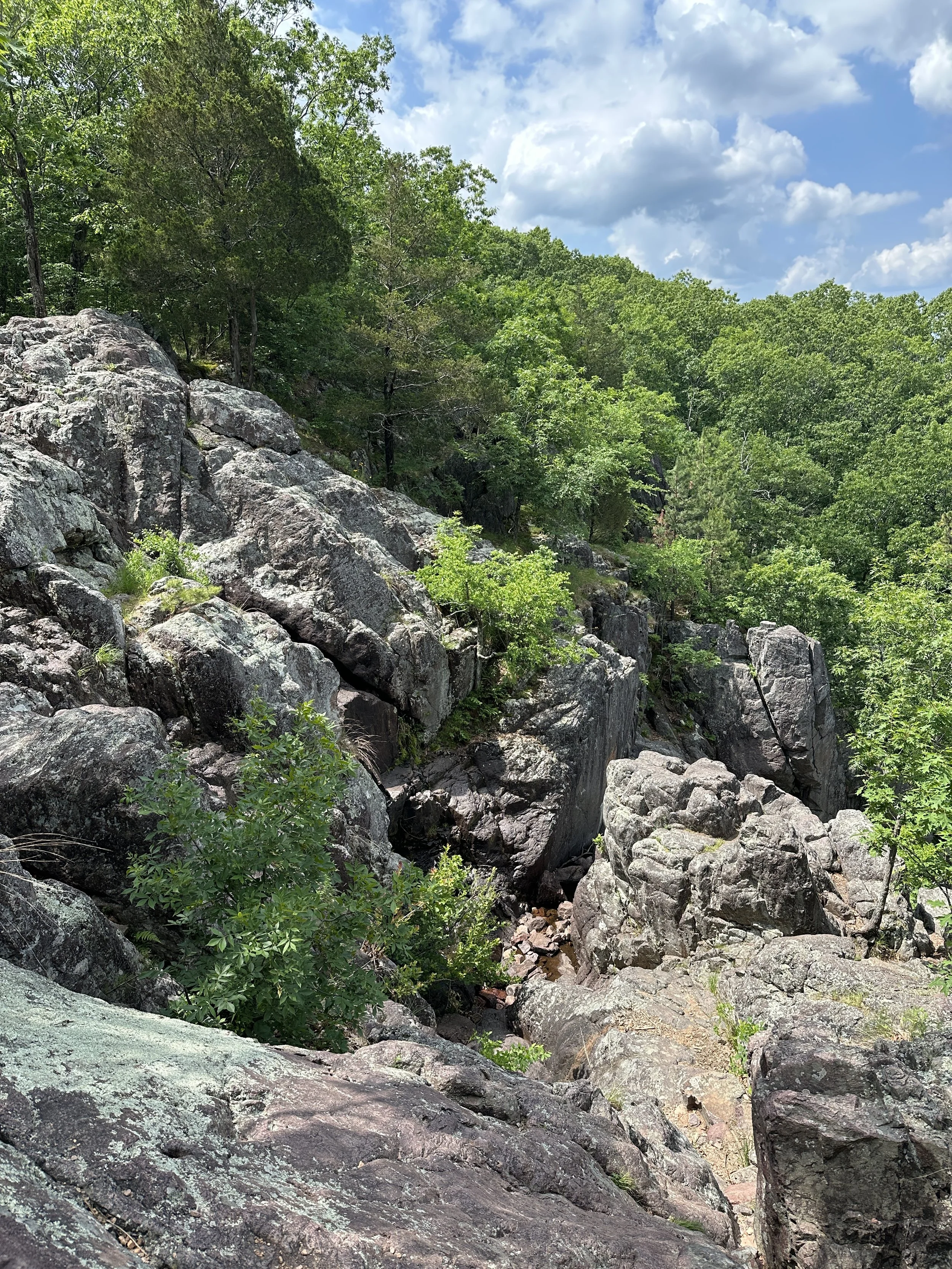
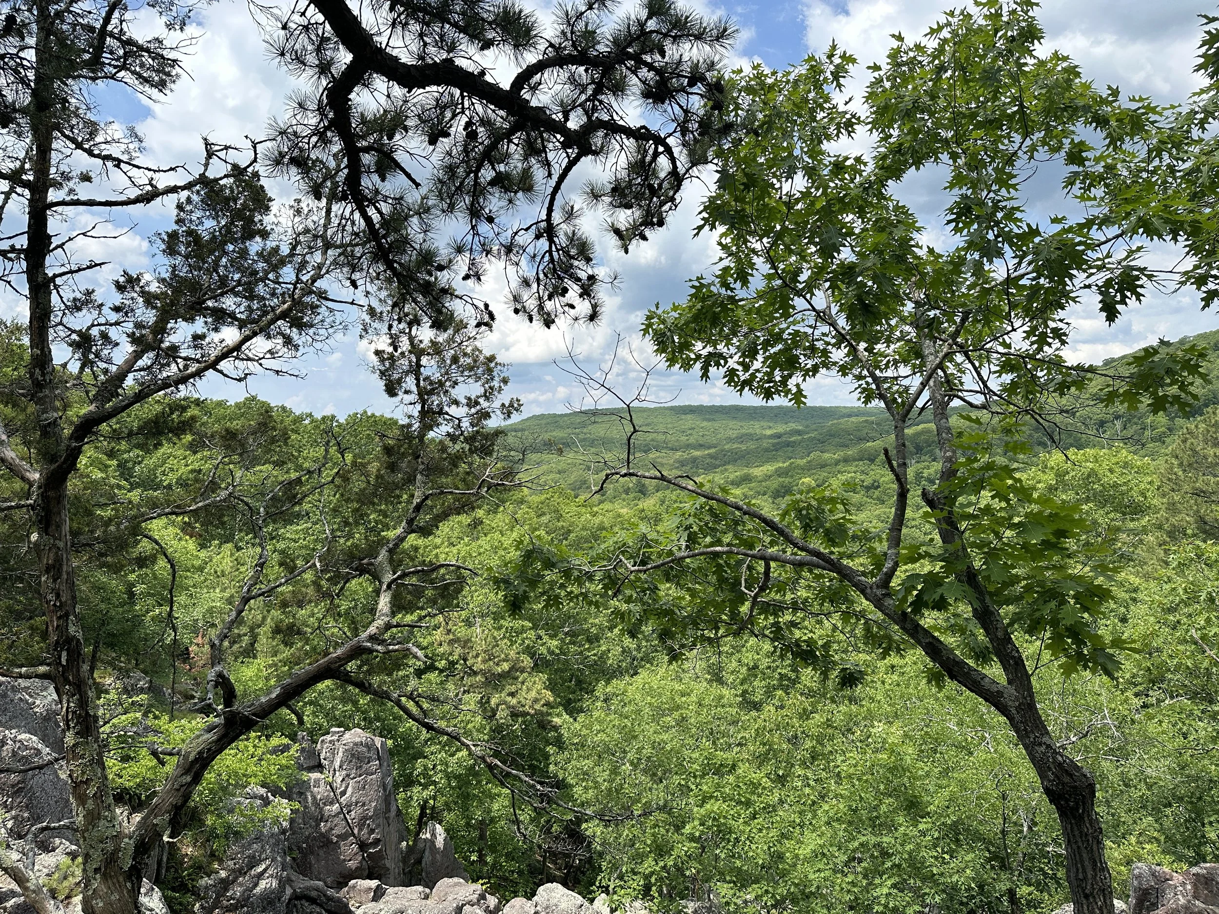
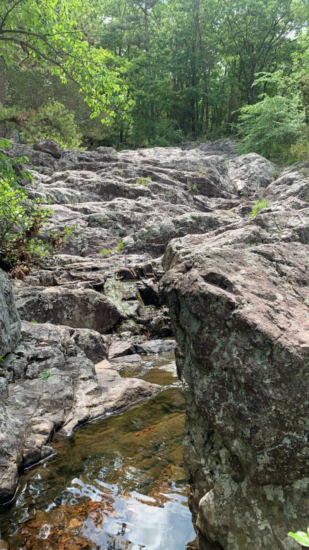
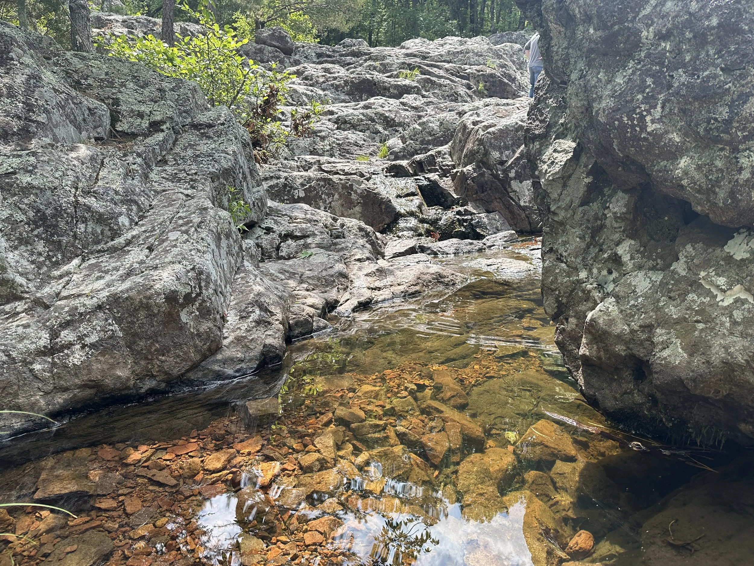
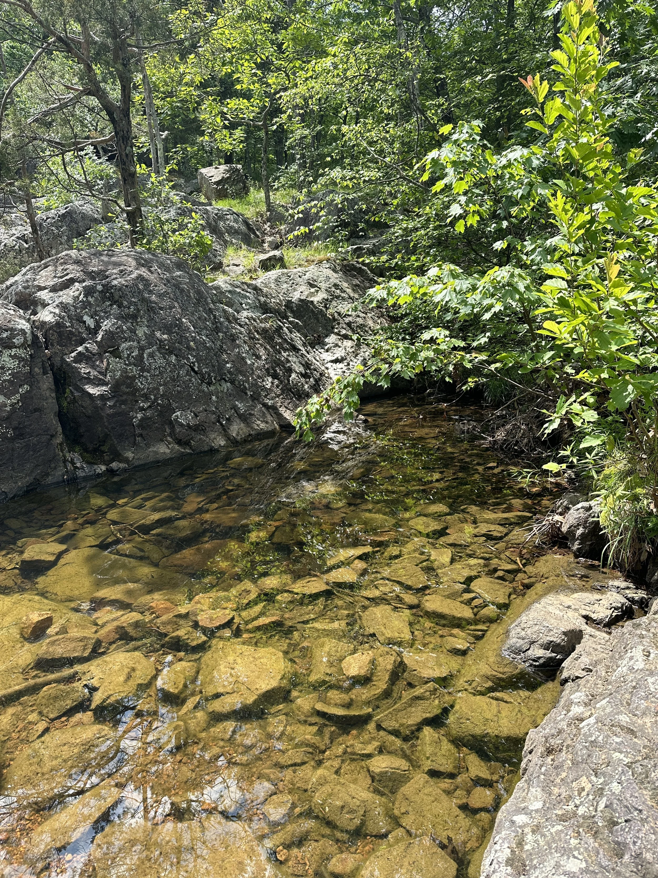
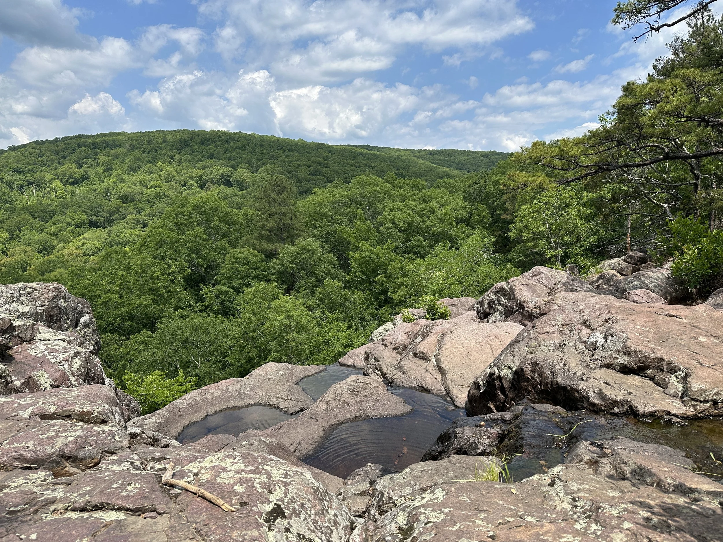
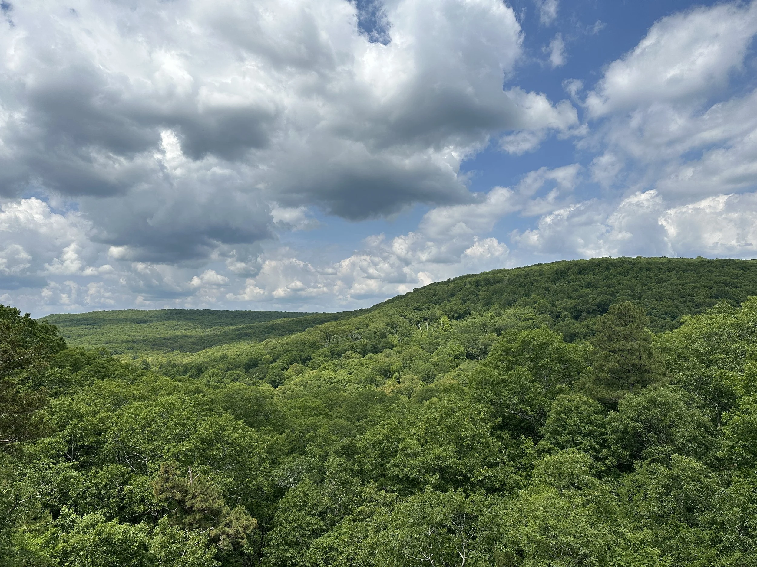
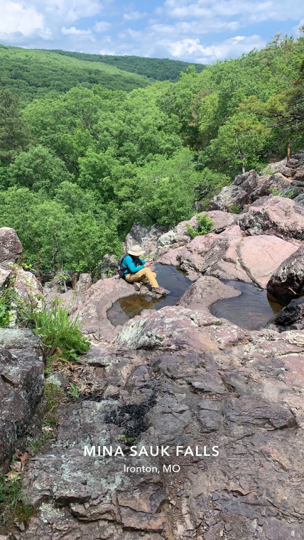
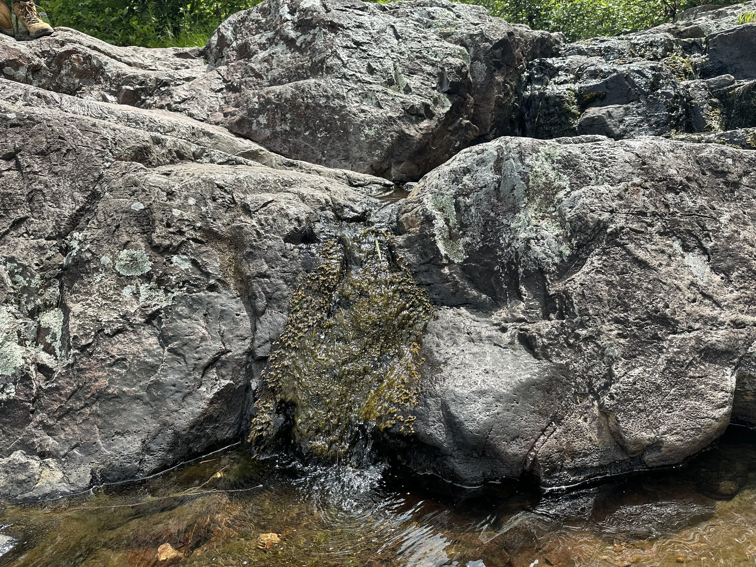
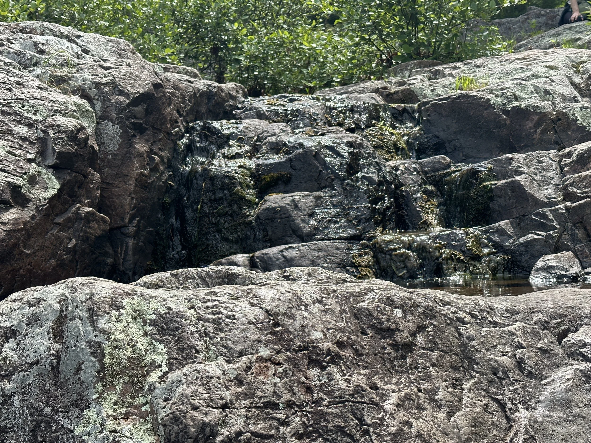
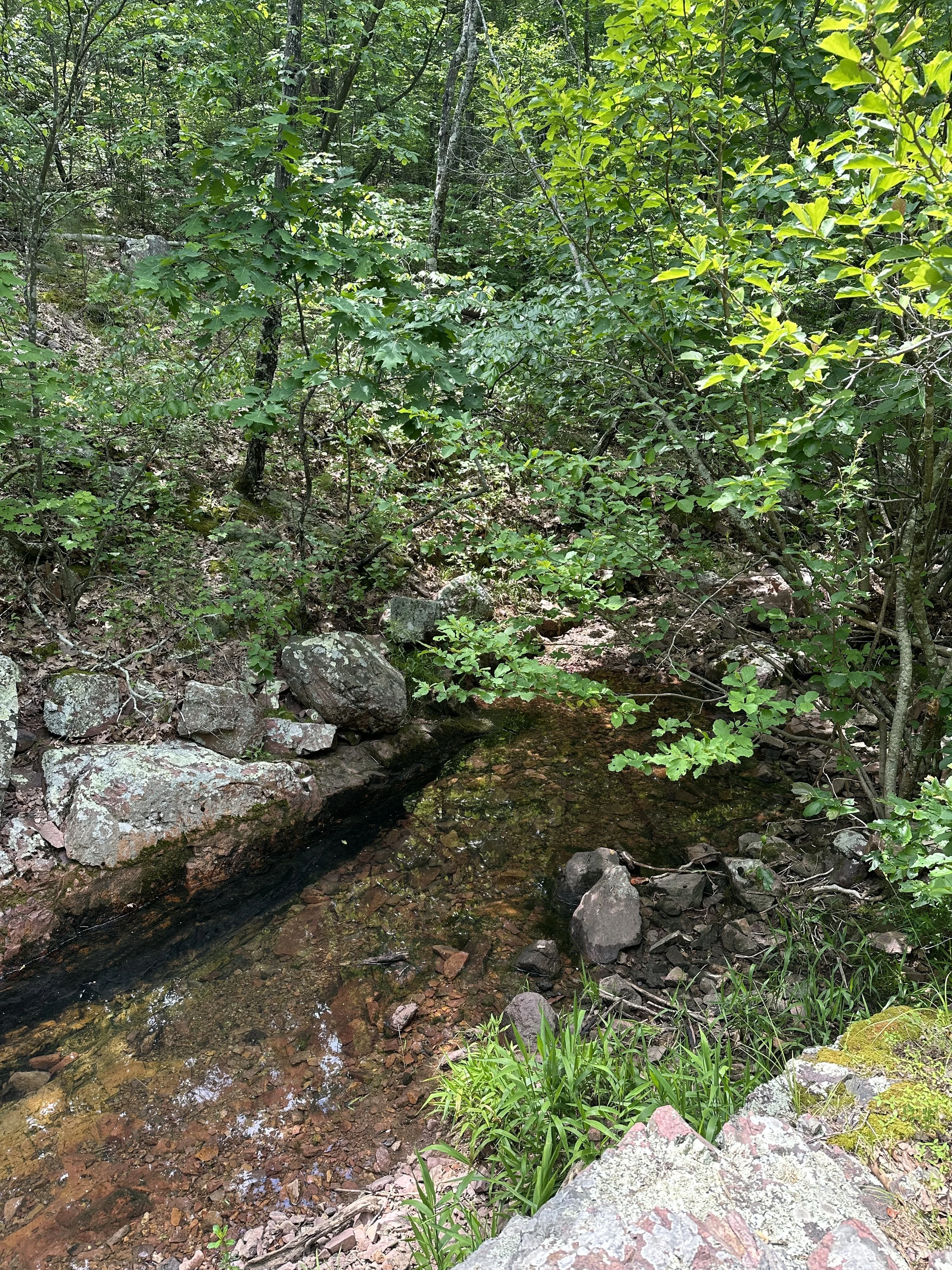
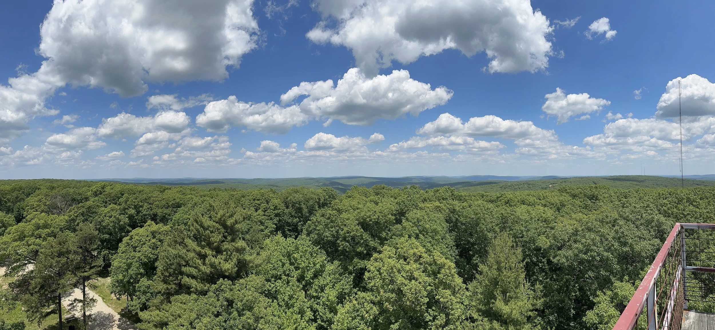
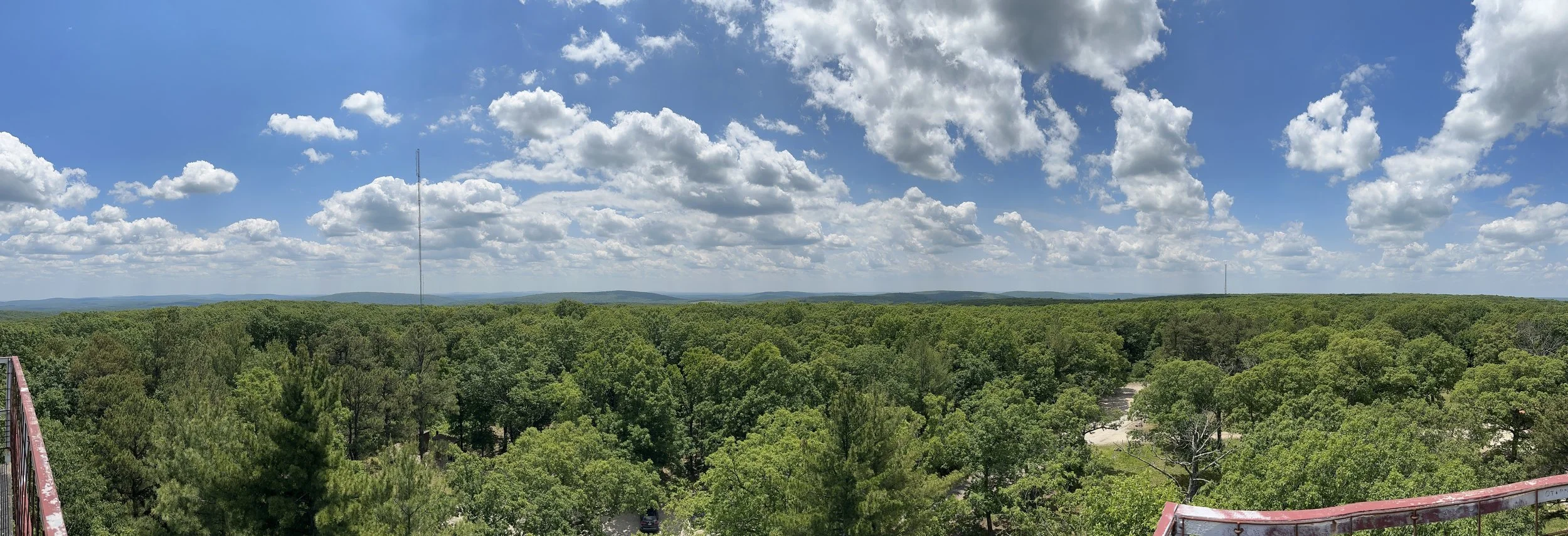
Located in the St. Francois Mountains, Taum Sauk Mountain State Park stands above others - literally. The park's namesake, Taum Sauk Mountain, rises to 1,772 feet above sea level, making it the highest point in Missouri. The moderately rugged Mina Sauk Falls trail took us to the state’s tallest waterfall. The Mina Sauk Falls drops 132 feet down a series of rocky volcanic ledges into a clear, rock-bottom pool at the base. In any weather, this trail offers spectacular views of the state's deepest valley to the west, which has up to 700 feet of vertical drop between the creek and the tops of the mountains crowding in on all sides. Below, the crystal-clear Taum Sauk Creek flows the length of the park. With its undeveloped watershed its truly a beautiful piece of nature. I took many pictures all posted below in the gallery.
Taum Sauk Mountain State Park is a major part of the 7,028 acre St. Francois Mountain Natural Area. Natural communities of Taum Sauk Mountain State Park including oak-hickory upland forest, glades, savannas, flatwoods and bottomland forest, as well as aquatic plants and animals. These areas provide relatively undisturbed native habitats for wildlife.
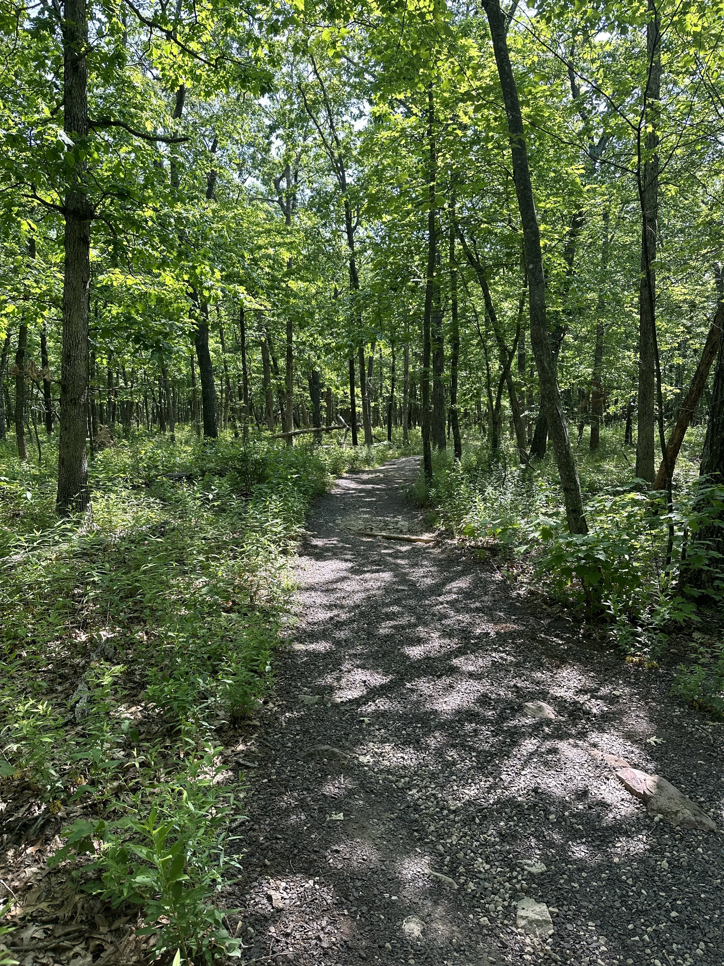
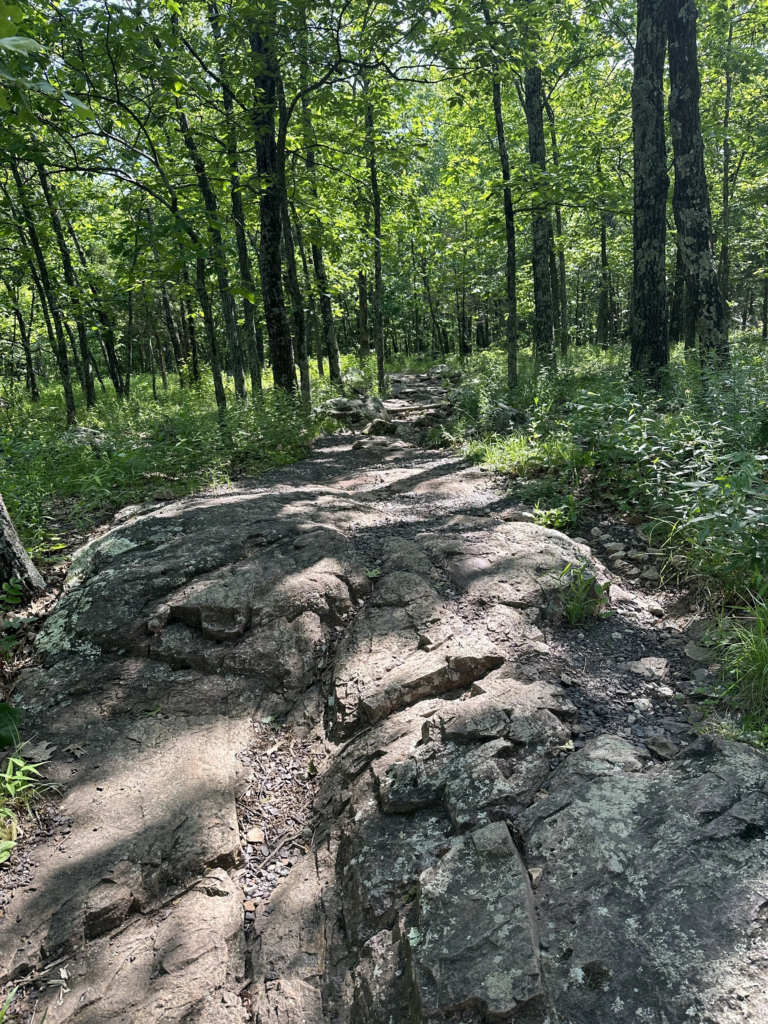
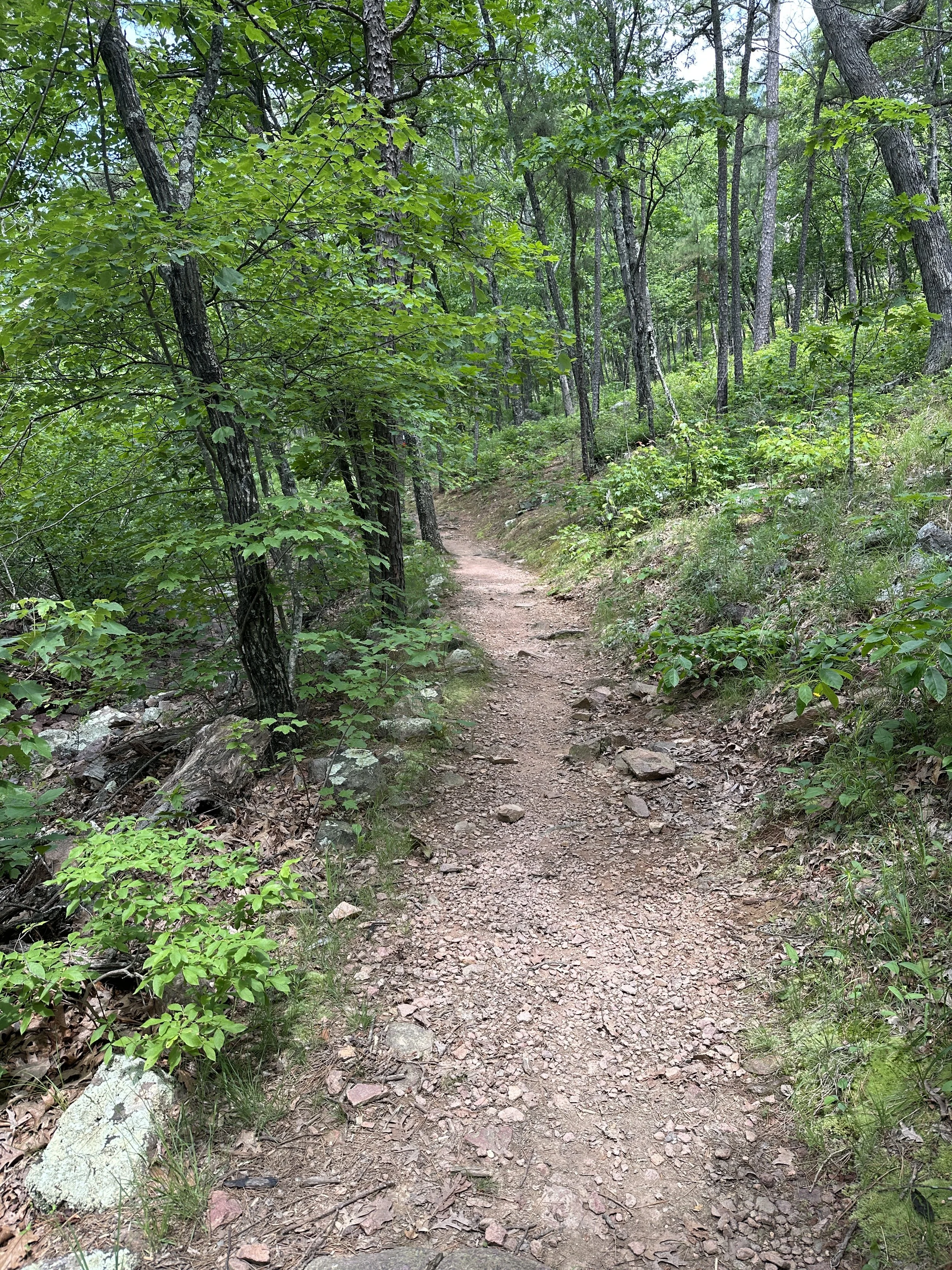
The Mina Sauk Falls Trail was a combination of dirt, gravel and mostly rock based paths and moderately difficult to hike. With the protruding rocks, on the trail we needed to really watch our steps in order to stay upright. There was not a lot of elevation gains on either trail (only 550 feet according to my watch), because you essentially drive to the top of the mountain to start the hike. You also get some great views looking down Mina Sauk Falls. Nice spot for more pictures and a selfie for sure. We took a trail down to the bottom of the falls as well and it was well worth the view. Seeing the Falls from the perspective of bottom up was quite awesome.
Mina Sauk Falls Trail is a looped trail, starting out all down hill to the Falls and then uphill to the trailhead. The trail was not crowded, but there were people around throughout the journey. At the Falls there were a number of people bunched up taking pictures.
Taum Sauk Mountain State Park gets you to the highest point in the state of Missouri, but the Park has much more to offer than that. Great views and plenty of natural beauty abound as you hike to the Falls. The highest Falls in the state of Missouri is another reason to hike this area. If you are looking for a nice short hike packed with a lot to see and experience, this is the hike you.